25
MAPS 1. Grab composition notebook 2. Write down homework 3. Review oceans and continents in your head
| Date post: | 29-Dec-2015 |
| Category: |
Documents |
| Upload: | rebecca-thornton |
| View: | 224 times |
| Download: | 0 times |

MAPS1. Grab
composition notebook
2. Write down homework
3. Review oceans and continents in your head
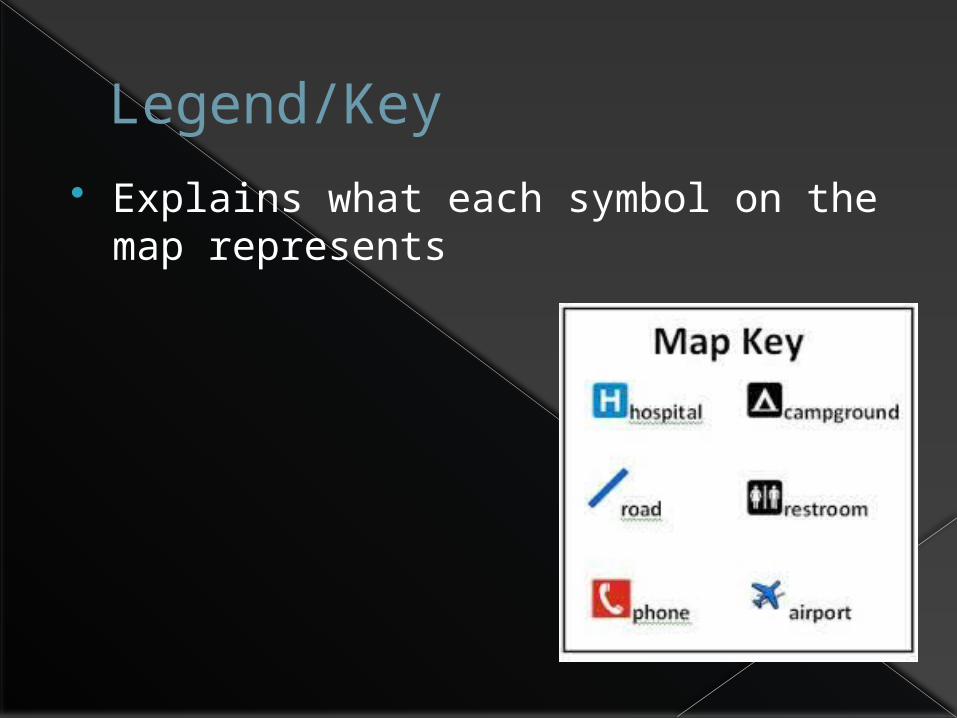
Legend/Key Explains what each symbol on the map
represents
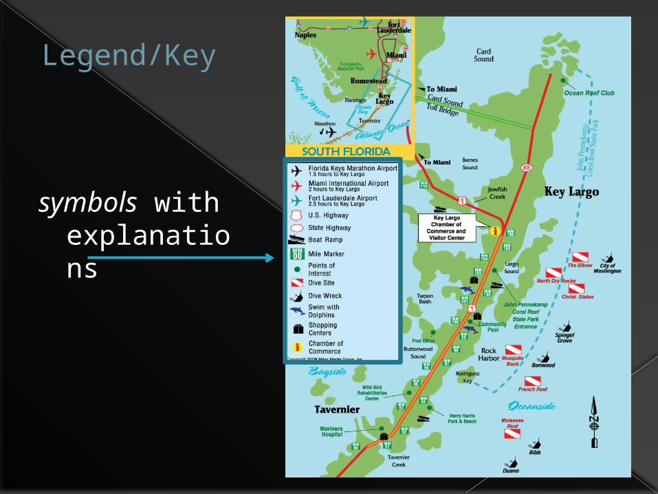
Legend/Key
symbols with explanations

Legend/Key
colors with explanations

Scale
Shows how much a map has been reduced from the area it represents. Tells what each distance on the map represents in real life.
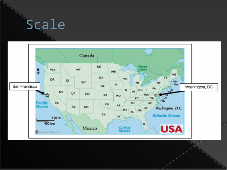
Scale
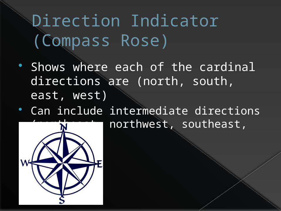
Direction Indicator(Compass Rose)
Shows where each of the cardinal directions are (north, south, east, west)
Can include intermediate directions (northeast, northwest, southeast, southwest)

Direction Indicator

Cartographer
A person who makes maps
cartographers in 1960
Paper Towns!!!
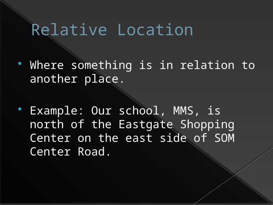
Relative Location
Where something is in relation to another place.
Example: Our school, MMS, is north of the Eastgate Shopping Center on the east side of SOM Center Road.
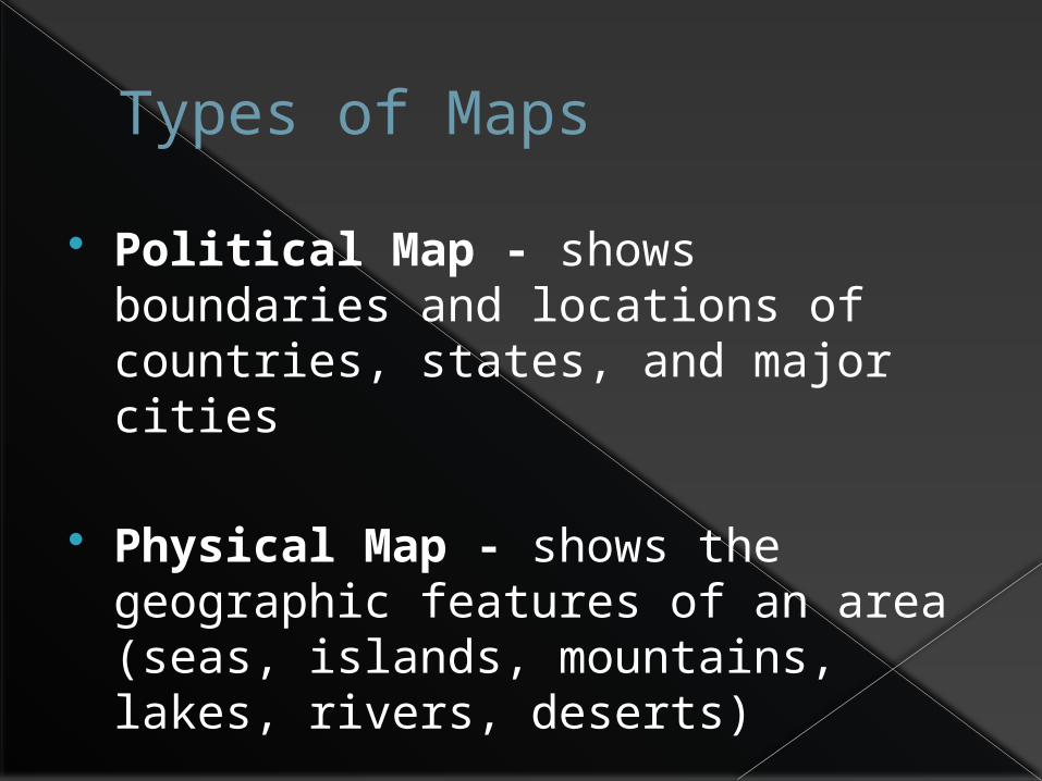
Types of Maps
Political Map - shows boundaries and locations of countries, states, and major cities
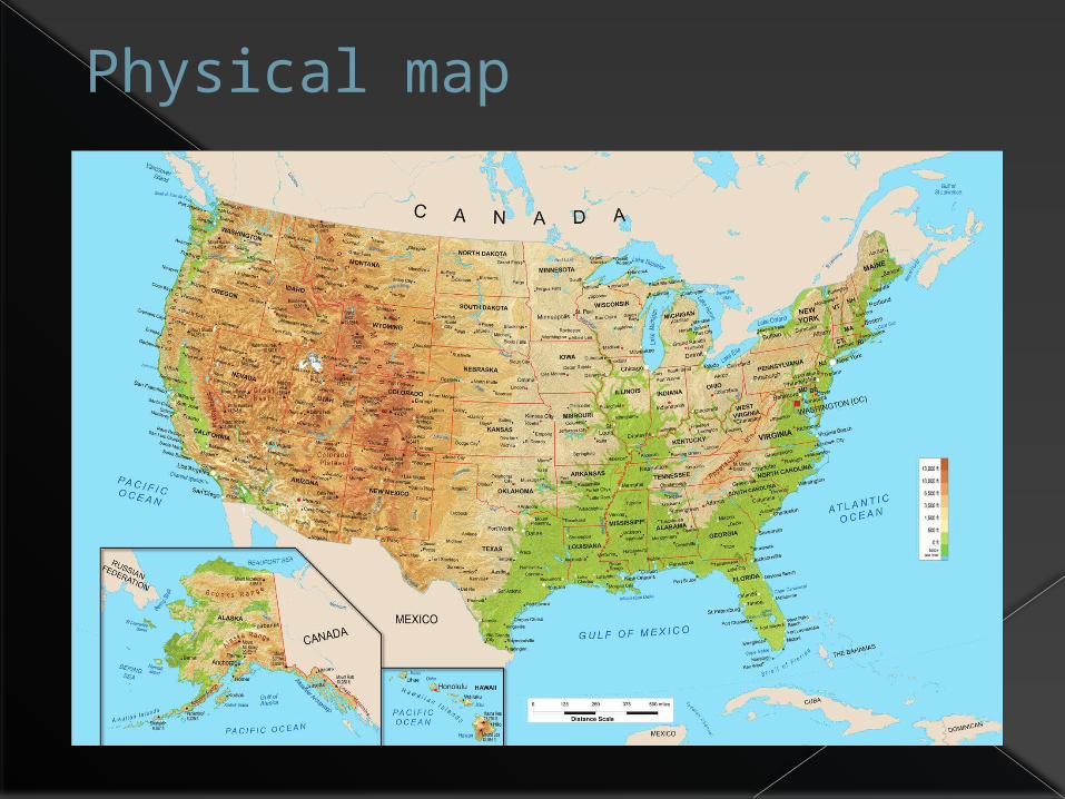
Physical Map - shows the geographic features of an area (seas, islands, mountains, lakes, rivers, deserts)
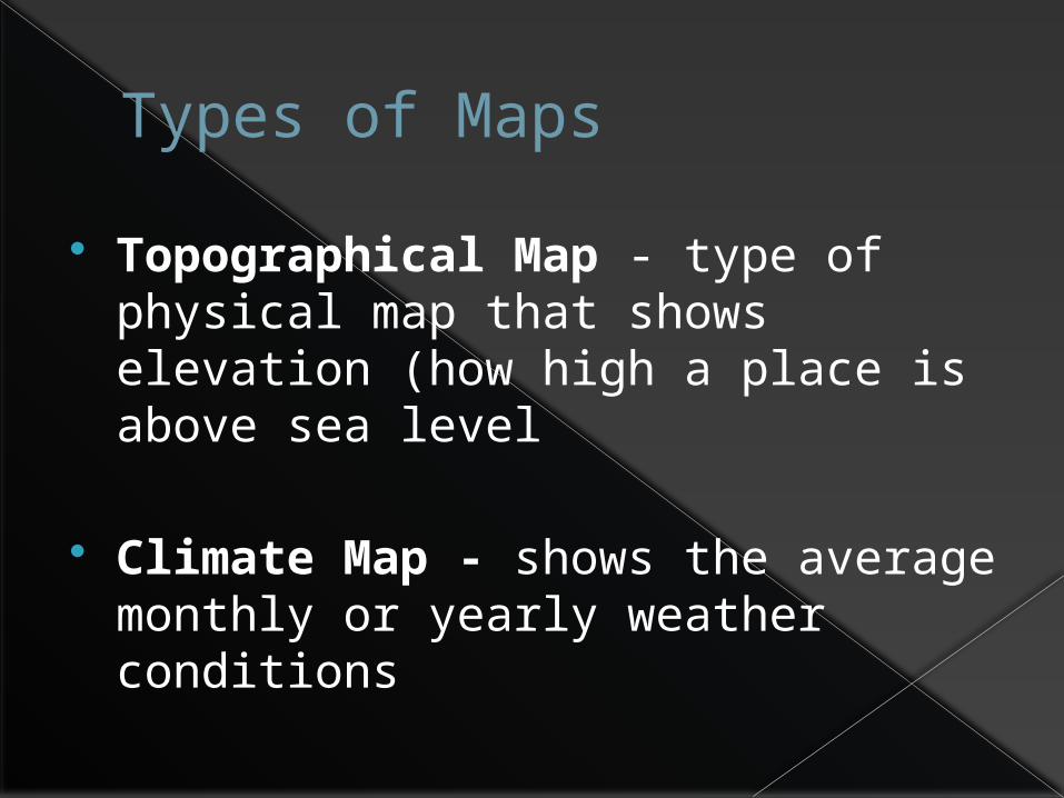
Types of Maps
Topographical Map - type of physical map that shows elevation (how high a place is above sea level
Climate Map - shows the average monthly or yearly weather conditions

Types of Maps
Population Density Map - amount of people that live in an area relative to the space occupied by them
Product Map - the natural resources in an area and the products made in that area

What type of map is this?

Product map
What type of map is this?

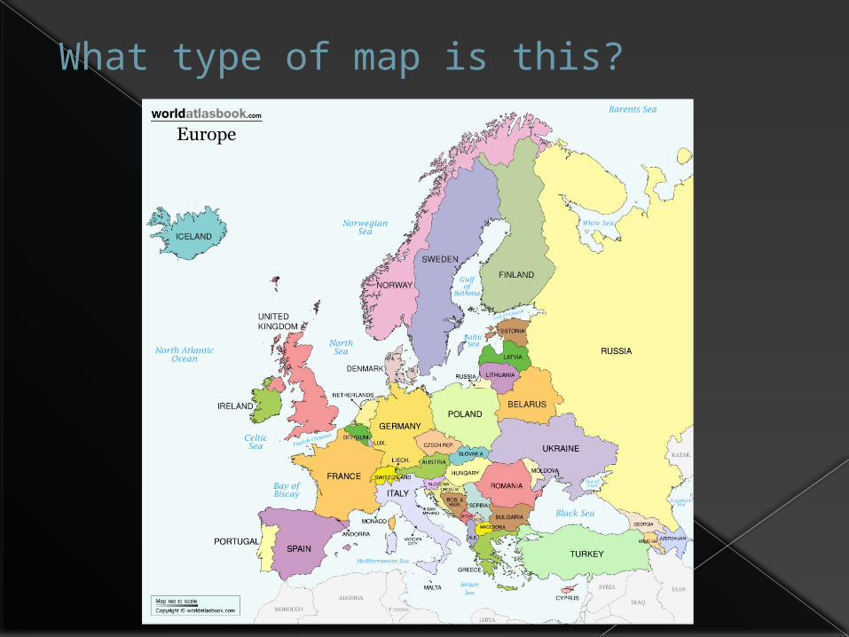
Political map
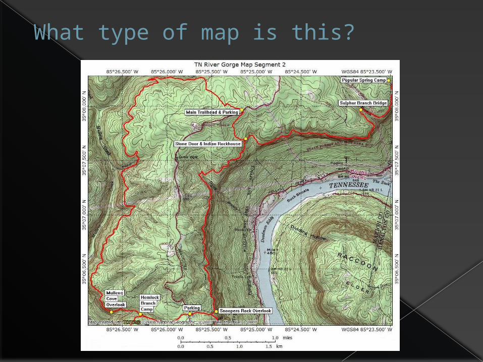
What type of map is this?

Topographical map
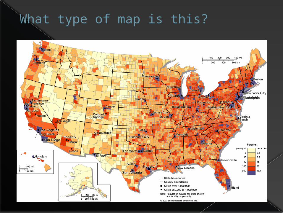
What type of map is this?

Population density map
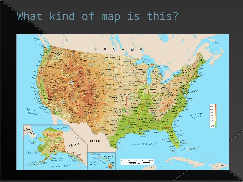
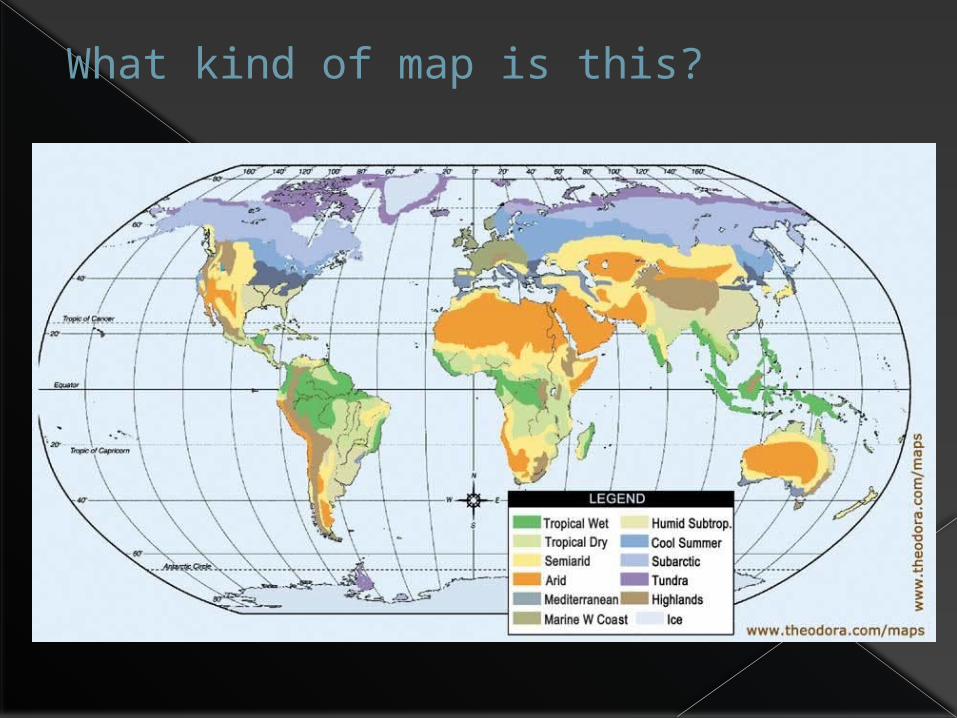
What kind of map is this?
Physical map
What kind of map is this?

Climate map


