30
1 Fire and Smoke Initiative Telecon 7 Aug 2014 Joint Polar Satellite System 1
| Date post: | 17-Dec-2015 |
| Category: |
Documents |
| Upload: | bathsheba-bruce |
| View: | 215 times |
| Download: | 1 times |

1
Fire and Smoke Initiative Telecon
7 Aug 2014
Joint Polar Satellite System 1

2
Telecon Objectives
• Conference Call 866-802-3950 p/c: 7288352
• Process for PGRR/NOAT Initiatives and how this initiative fits that process
• 10 Jul Telecon Participants and Items of Interest
• Actions taken since 10 Jul Telecon
• Initiative Goals for Summer 2014 Operational Demonstration
• Stakeholder provide an update of their current work
• Identify future actions

3
Fire and Smoke InitiativeStakeholders
Organization Organization
CIMSS NESDIS SAB
CIRA NWS Fire Weather Lead
GOES-R Program NWS Western Region – Regional Staff, WFOs, and IMETs
ESRL NWS Alaskan Region – Regional Staff, WFOs, and IMETs
JPSS Program STAR
National Interagency Fire Center
US Forest Service
National Park Service - AK VIIRS Active Fire Team
NWS Training WRAP
Joint Polar Satellite System 3

4
Process for PGRR/NOAT Initiatives
• PGI working group will develop a project roadmap which will be reviewed by the principal NOAT PGI stakeholder(s) and members of the Satellite Program Science staff.
• One page initial proposals will be requested from the startup PGI team covering the end-to-end process to meet the roadmap objectives
• Encourage coordination of the proposals
• NOAT PGI Stakeholder(s), Program Science will review initial proposals and select the proposals that best match user needs
• Program Science will request full proposals and select the proposal that has the highest probability of success
• Use this process to guide actions being taken in current PGRR initiatives and the creation of future initiatives

5
Expected NOAT endorsed initiatives
• River Ice and Flooding
• Fire and Smoke
• Direct readout NWP impact studies via HRRR and GFS
• JPSS AWIPS at National Centers via NCO data farm
• JPSS OCONUS AWIPS Initiatives including intelligence layering
• Cryosphere Initiative – hydrological models
• Land data assimilation - LDAS

6
Fire and Smoke InitiativeObjectives
• Organize a forum to allow stakeholder supporting Fire and Smoke detection and forecasting to interact
• Encourage participation of the stakeholder organizations with current responsibilities in Fire and Smoke detection and forecasting.
• Understand the current use of geostationary and polar orbiting satellite capabilities in support of Fire and Smoke detection and forecasting mission
• Identify current SNPP/JPSS and new GOES-R data and capabilities with the potential to improve support to this mission
• Establish methodologies and procedures for the operational demonstrations of these capabilities
• Following these operational demonstrations, identify the satellite capabilities whose operational impacts are sufficient to warrant transition from research to operations
• Determine required actions for an effective transition of these capabilities to operations
Joint Polar Satellite System 6

7
Fire and Smoke Roadmap
• Create and maintain a satellite-based blended product defining current fire and smoke conditions
• Use this product and other satellite capabilities as input to forecasting models such as the HRRR
• Ensure fire and smoke stakeholder access to these current conditions and forecasts through an effective common operating picture web-based capability
• Create a forum to guide the creation and maintenance of this roadmap for the long term
Joint Polar Satellite System 7

8
10 JulTelecon Participants
Joint Polar Satellite System 8
Name Organization Name Organization
Ken Carey Support Contractor Steven Peckman WRAP
Ivan Csiszar STAR Brad Pierce STAR
Andy Edman NWS Julie Prince JPSS
Evan Ellicott UofMD Pete Roohr NWS
Kevin Fuell SPoRT Chris Schmidt CIMSS
Mitch Goldberg JPSS Carven Scott NWS
Shobha Kondragunta STAR Bill Sjoberg JPSS
Matt Mavko Eric Stevens GINA
Brian Motta NWS William Straka CIMSS

9
10 Jul TeleconItems of Interest
• Western Region Brief
• Make smoke and fire as one product a number one priority (overlay?)
• When choosing a fire consider what can be done in NRT and what can be done retrospectively
• HRRR is being well received by WFOs
• AWIPS needs to save Fire and Smoke products to aid in retrospective analyses
• Is it possible to make a 15hr smoke forecast? This has been done now with OAR’s help
• Pete Roohr
• Will be taking a trip to SW US in Aug
• Will be visiting 1-2 Fires
• Look to establish a Fire Weather testbed with the USFS
• Create an inventory of what products IMET use
Joint Polar Satellite System 9
10
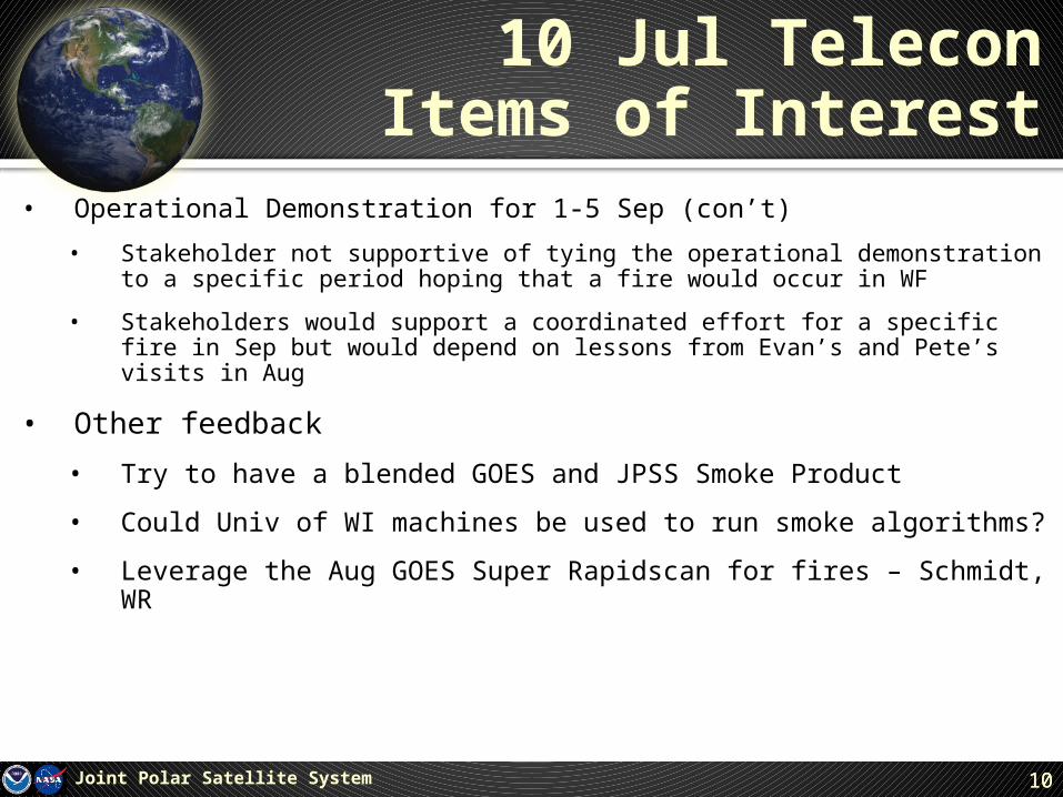
10 Jul TeleconItems of Interest
• Operational Demonstration for 1-5 Sep (con’t)
• Stakeholder not supportive of tying the operational demonstration to a specific period hoping that a fire would occur in WF
• Stakeholders would support a coordinated effort for a specific fire in Sep but would depend on lessons from Evan’s and Pete’s visits in Aug
• Other feedback
• Try to have a blended GOES and JPSS Smoke Product
• Could Univ of WI machines be used to run smoke algorithms?
• Leverage the Aug GOES Super Rapidscan for fires – Schmidt, WR
Joint Polar Satellite System 10

11
Actions SinceLast Telecon
• Andy has sent emails with links to facebook pages of WFOs showing how they address fire and smoke
• Andy ensured that HRRR smoke forecasts were included as a section in WR Newsletter
• Brad Pierce showed how W-Madison High Spectral Resolution Lidar (HSRL, Ed Eloranta PI) and other airborne and ground-based instruments deployed in the Front Range for the DISCOVER-AQ/FRAPPE field mission can be used to validate HRRR smoke forecast (19 Jul email) (New initiative goal for summer 2014?)
• Evan and Pete continue to plan their visits to WR
• Evaluating whether HRRR smoke product can be expanded further north to cover on-going OR and WA fires (Status?) (New initiative goal for summer 2014?)
• Steve Goodman asked how GOES-R work on lightning threat forecasts (GOES-R Algorithm) might become part of this initiative. (New initiative goal for summer 2014?)
Joint Polar Satellite System 11

12
HRRR Smoke Product
Joint Polar Satellite System 12
Weak east-west frontal boundary from northern UT to northern CA -- smoke from fires get caught up along front -- been verifying pretty well (Edman)

13
How WFOs Currently Use Satellite Imagery
Joint Polar Satellite System 13

14
Example of High Spectral Resolution Lidar (HSRL, PI Ed Eloranta, UW-Madison) backscatter cross section at NOAA Boulder Atmospheric Observatory (BAO) during FRAPPE/DISCOVER-AQ
NOAA ESRL Update

15
• The HRRR-Chem data is being archived.• Plots of vertically integrated PM 2.5 (smoke in this simulation) are being produced
with each forecast. These plots also have red dots showing the fire locations and white dots showing various observation sites.
• Working on getting the HRRR-Chem domain on a larger domain. Currently have a little issue with HRRR-Chem preprocessor for the fires on the larger domain.
Brazilian scientist who is the expert on that fire preprocessor is visiting ESRL over the next year, so we should get fixed soon.
We have also made some contact to a group from Seattle (USFS I believe) that are planning to use WRF-Chem for what they are doing with smoke.
We would like to get some collaboration going with those folks to maybe have some more quality control on fire location.
The plan is also to start using fire radiative power for the internal plumerise routine in the HRRR model (again something that the Brazilians have already been working on).
NOAA ESRL Update

16
Example of using surface fine (<2.5 micron) particulate matter (PM2.5, US EPA AIRNow) for Real-time Air Quality Modeling System (RAQMS) verification at Idaho City, ID

17

18
With MODIS Terra and Aqua AOD assimilation

19

20

21
Initiative Goals for Summer 2014 Operational Demonstration
• Partner with NWS personnel and national and state officials, responding to a Western Region (WR) 2014 Fire Event (Evan organize)
• Test and deliver VIIRS fire and smoke detection products with a low latency and high accuracy to the Western Region for use during fire events.
• Evaluate NWS Operational and experimental HRRR-Chem smoke forecasts on Western Region Fires (WR organize)
• Partner with WRAP to test linking NESDIS Blended Biomass Burning Emission Product (BBEP) into Fire Emissions Tracking System for retrospective fire studies (Brad organize)
• Use of diurnally resolved BBEP-geo biomass burning emissions to constrain fire profiles used in WRAP wildfire emissions modeling. The BBEP-geo uses GOES-11/12 WF_ABBA sub-pixel fire sizes to generate diurnal patterns taken as the proxy of burned areas for every hour of the previous day.
• Produce smoke products using JPSS RR Algorithm, GOES-R ABI algorithm, and ASDA Algorithm over a real fire (Shobha organize)
• Overlay smoke forecasts on the products from these algorithms • Identify verification/ validation methods for these products
• Leverage Evan’s and Pete’s Aug visits to identify additional goals for operational demonstration
Joint Polar Satellite System 21
22
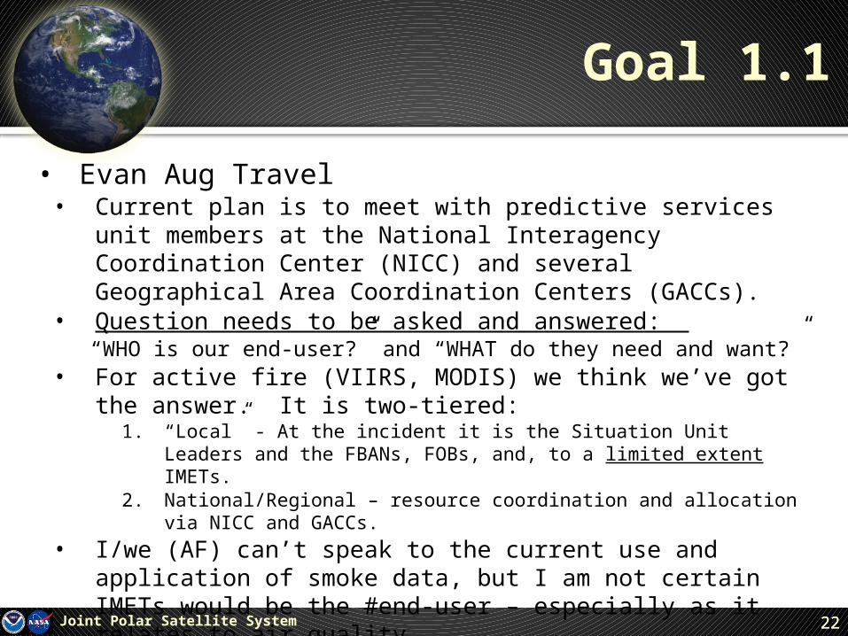
Goal 1.1
• Evan Aug Travel• Current plan is to meet with predictive services unit members at the
National Interagency Coordination Center (NICC) and several Geographical Area Coordination Centers (GACCs).
• Question needs to be asked and answered: “WHO is our end-user?” and “WHAT do they need and want?”
• For active fire (VIIRS, MODIS) we think we’ve got the answer. It is two-tiered:
1. “Local” - At the incident it is the Situation Unit Leaders and the FBANs, FOBs, and, to a limited extent IMETs.
2. National/Regional – resource coordination and allocation via NICC and GACCs.
• I/we (AF) can’t speak to the current use and application of smoke data, but I am not certain IMETs would be the #end-user – especially as it relates to air quality.
Joint Polar Satellite System 22

23
Goal 1.2
• Evaluate the operational use of fire and smoke products• Address these evaluations from a synoptic level of incident
management (NICC, GACCs) might be appropriate (certainly for the AF data)
• Remember that many of the fires are handled by WFOs not deployed
• Target at least a few incidents and ICT members (IMETs, FBANs, ICs, etc.)
• That said, given the number of tasks and moving pieces on an incident it is typically unreasonable to ask anyone to evaluate the product in real-time…this would be retrospective analysis.
• We therefore need to make sure the data/tools are available and hopefully being used so they can be evaluated.
Joint Polar Satellite System 23

24
Goal #2
• Partner with WRAP to test linking NESDIS Blended Biomass Burning Emission Product (BBEP) into Fire Emissions Tracking System for retrospective fire studies (Brad organize)
Joint Polar Satellite System 24

25
Goal #3
• Produce fire products using JPSS RR Algorithm, GOES-R ABI algorithm, and ASDA Algorithm over a real fire (Shobha organize)
• Overlay the smoke approach above those three algorithms • Get ground verification/ validation and usefulness of these products• A COP systems approach is needed to allow users to choose a la carte what
they want.
Joint Polar Satellite System 25
26
Additional Stakeholder Reports
Joint Polar Satellite System 26
• VIIRS AF Team – Ivan and Evan• Shobha Kondragunta• Chris Schmidt• Pete Roohr

27
Future Actions
Joint Polar Satellite System 27
• Finalize operational demonstration goals
• Continue actions guided by specific operational demonstration goals
• Consider if a telecon on 21 Aug is needed

28
Backup Slides
Joint Polar Satellite System 28

29
Fire and Smoke Phases
Joint Polar Satellite System 29
Fire Potential
Fire/SmokeDetection
Montana
ResponseCoordination
Data AssimilationInto Models
Fire/SmokeForecasting
Fire/SmokeUnder Control
Weather Data Needed by Decisionmakers
Satellite Capabilities
TempRHWindSoil Conditions
TempRHWindSoil ConditionsImagery
Imagery Cloud CoverFcst for Drought ConditionsGreen Veg Index
ImageryGEO Rapid ScanActive Fire ProdCloud CoverPrecip ProductsNUCAPS
GFS, NAM, HRRRCrIS/ATMS Rad
Post EventAnalysis

Each PGI has an Operational Demonstration
Work Plan and a Facilitator
Facilitation/Planning- Proving Ground Initiative Facilitator (PGIF)
PGIF activities are crossing cutting across National Centers, WFOs, River Forecast Centers, Research and Operation offices.
Bill Sjoberg - Inaugural PGIF for Floods/River Ice, and Fire/Smoke.
Bill/Kathryn /Arron - PGIF s for data assimilation (direct readout, land and cryosphere)
Chris Barnet - Soundings applications, CalWater collaboration, HRRR sounder data assimilation
Bonnie/Arron - PGIF s for AWIPS products into NCWCP National Centers with focus on OPC/WPC/CPC/NCEP and will update liaisons at proving quarterly ground meetings


