16
1
| Date post: | 22-Dec-2015 |
| Category: |
Documents |
| Upload: | barnard-newman |
| View: | 222 times |
| Download: | 0 times |
1
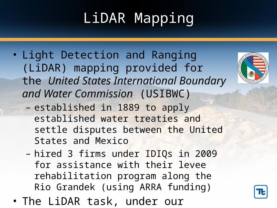
LiDAR Mapping
• Light Detection and Ranging (LiDAR) mapping provided for the United States International Boundary and Water Commission (USIBWC)– established in 1889 to apply established water
treaties and settle disputes between the United States and Mexico
– hired 3 firms under IDIQs in 2009 for assistance with their levee rehabilitation program along the Rio Grandek (using ARRA funding)
• The LiDAR task, under our contract, had a team consisting of Tetra Tech, Watershed Sciences, Inc (WSI) and Keystone Aerials
–
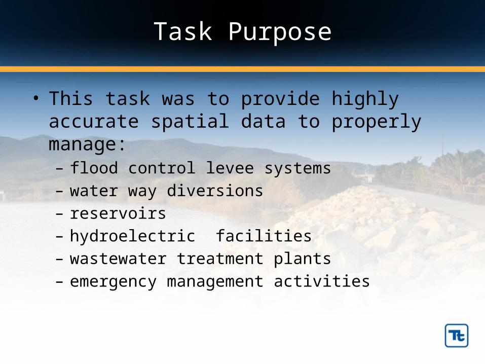
Task Purpose
• This task was to provide highly accurate spatial data to properly manage: – flood control levee systems– water way diversions– reservoirs– hydroelectric facilities– wastewater treatment plants– emergency management activities

Task Description
• High resolution terrain and infrastructure data is an important component to the USIBWC levee design and construction program
• The work was done over 5 months ending in April 2011

Task Description
• Provided digital color ortho-imagery (23,000 images)• 1’ contours for more than 5500 square miles• Surveyed 3,675,932 acres• Acquired an average of 24,029 acres of LiDAR data
daily• Flew a total of 399 hours

3 Primary Project Components
Airborne High Resolution LiDAR – Detailed terrain model to support hydrologic/hydraulic modeling Feature
Extraction from the LiDAR Data– Buildings Footprints, Drainage Features, vegetation, etc.
High Resolution Ortho-rectified Aerial Imagery Basemap
Criteria Met
• The project set the standard for high accuracy LiDAR surveys of this scale
• Overall, achieved superb absolute vertical accuracy in this dataset, with an RMSE (root mean squared error) below 3 cm
• The dataset exceeds 4 pulses per square meter, and in lower river reaches exceeds 12 pulses per square meter.
• The project had been attempted and abandoned by other mapping firms during the past 7 years.

3m1m

3m1m
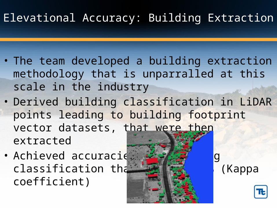
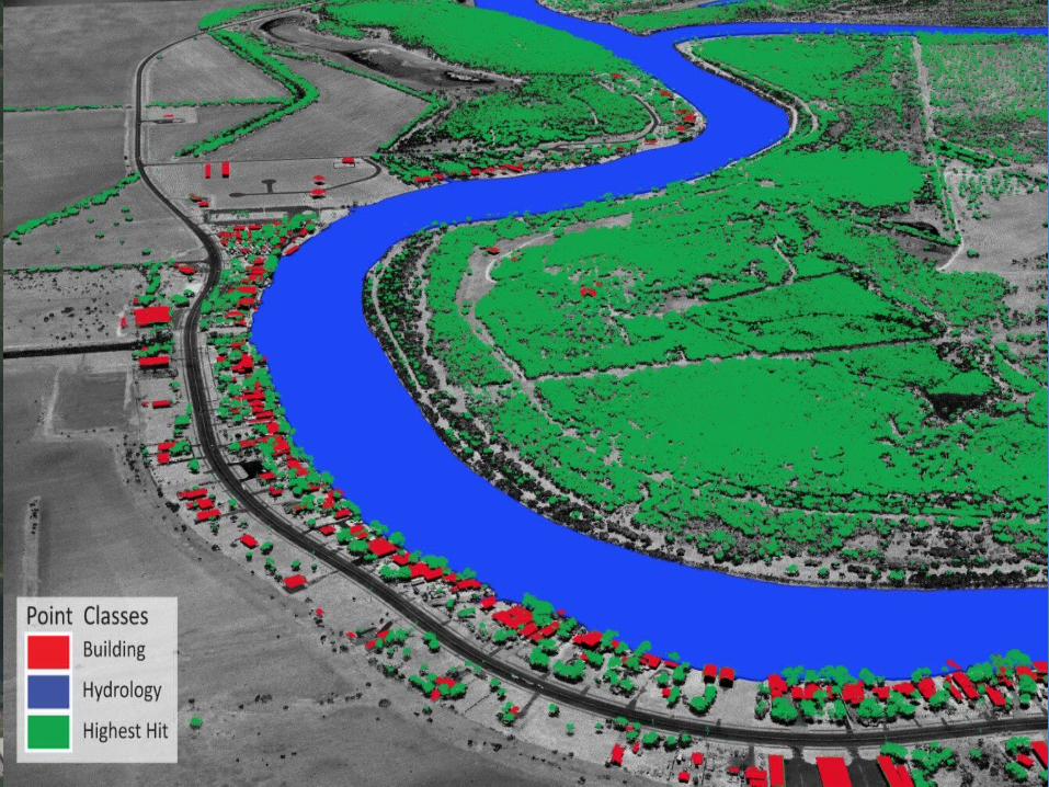
Elevational Accuracy: Building Extraction
• The team developed a building extraction methodology that is unparralled at this scale in the industry
• Derived building classification in LiDAR points leading to building footprint vector datasets, that were then extracted
• Achieved accuracies for building classification that exceeds 97% (Kappa coefficient)
LiDAR point classificationLiDAR point cloud with RGB extraction

Elevational Accuracy: Hydraulic surfaces
• The team developed custom software and techniques to produce digital elevation models (DEMs) that are both hydro-flattened and hydro-conditioned
• Provides highly accurate representation of channel morphology that is applied to the digital surfaces– hydraulically functioning surfaces – water ‘poured’ on the surface flows to an outfall point– assists in overall watershed modeling efforts
LiDAR point classificationLiDAR point cloud with RGB extraction

Team Security
• An extensive effort went into logistics coordination prior to starting to establish aerial and ground control
• Team safety was highly important in this area…some of the most dangerous and remote border regions – Security escorts were utilized during paneling and surveying
ground control targets
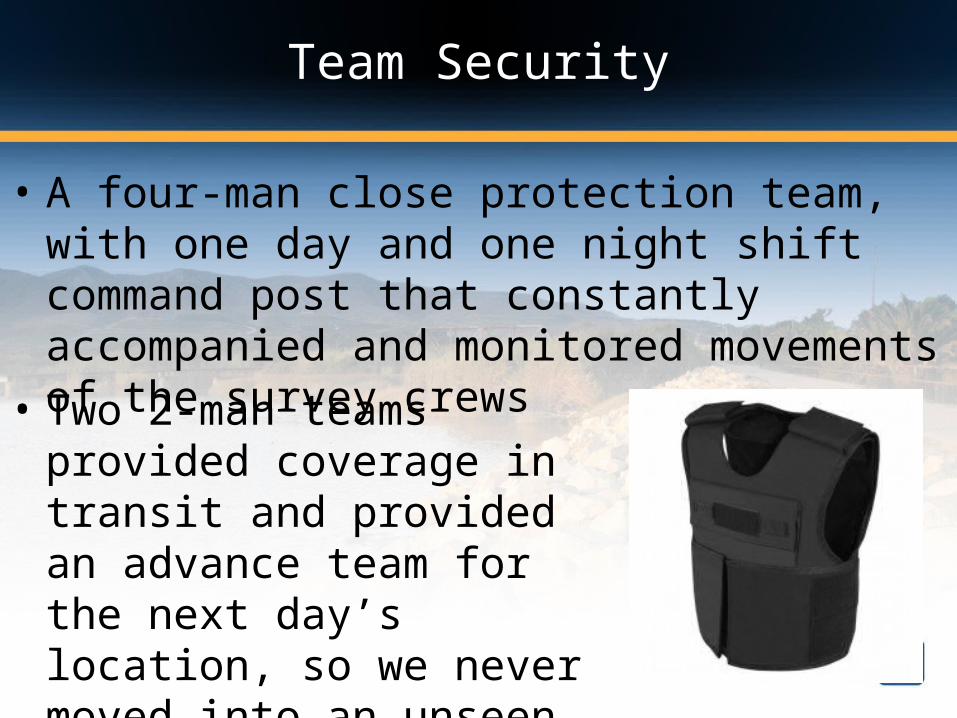
Team Security
• A four-man close protection team, with one day and one night shift command post that constantly accompanied and monitored movements of the survey crews
• Two 2-man teams provided coverage in transit and provided an advance team for the next day’s location, so we never moved into an unseen area

LiDAR point classificationLiDAR point cloud with RGB extraction

Thanks for your attendanceQuestions?


