25
1 Overview of Fulton County GIS Address Model Carl Anderson Fulton County GIS
| Date post: | 23-Dec-2015 |
| Category: |
Documents |
| Upload: | blanche-morrison |
| View: | 219 times |
| Download: | 0 times |

1
Overview of Fulton County GISAddress Model
Carl Anderson
Fulton County GIS

2
Street Address Definition(From the Draft Address Standard)
A street address specifies a location by reference to a thoroughfare, or a landmark; or it specifies a point of postal delivery
Four basic classes of street address: Thoroughfare addresses Landmark addresses Postal addressesGeneral addresses (can be any of these
three)
3
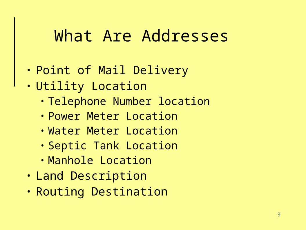
What Are Addresses
• Point of Mail Delivery• Utility Location
• Telephone Number location• Power Meter Location• Water Meter Location• Septic Tank Location• Manhole Location
• Land Description• Routing Destination
4
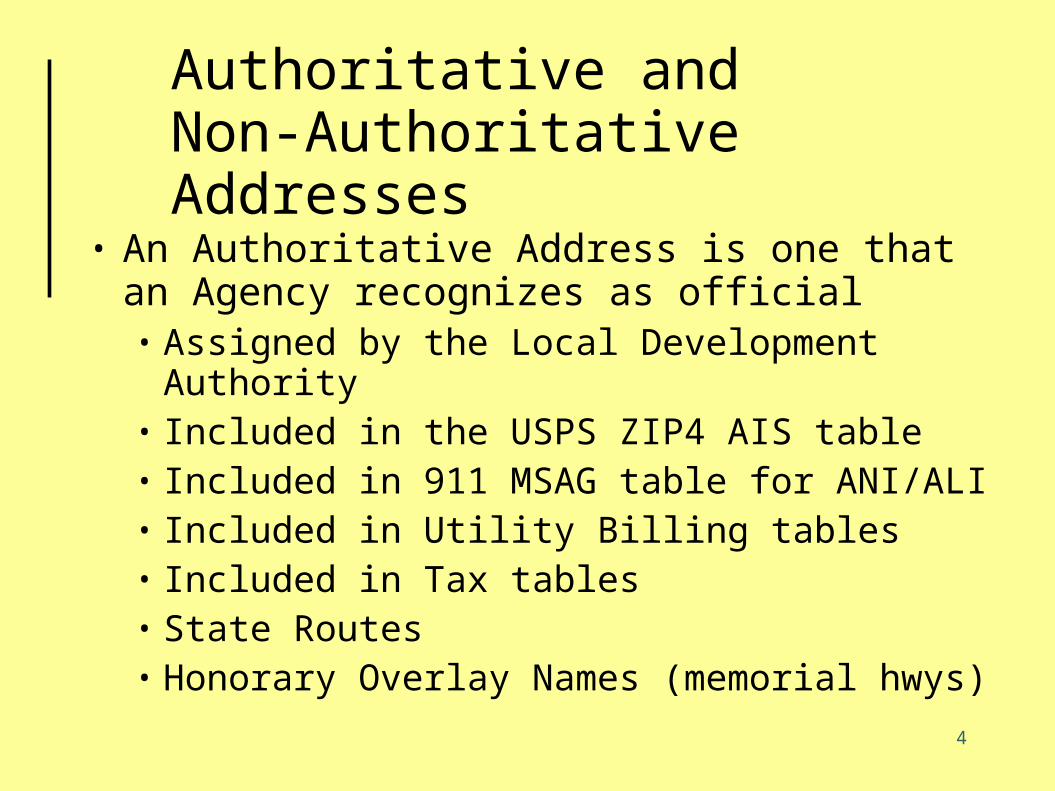
Authoritative and Non-Authoritative Addresses
• An Authoritative Address is one that an Agency recognizes as official• Assigned by the Local Development
Authority• Included in the USPS ZIP4 AIS table• Included in 911 MSAG table for ANI/ALI• Included in Utility Billing tables• Included in Tax tables• State Routes• Honorary Overlay Names (memorial hwys)
5
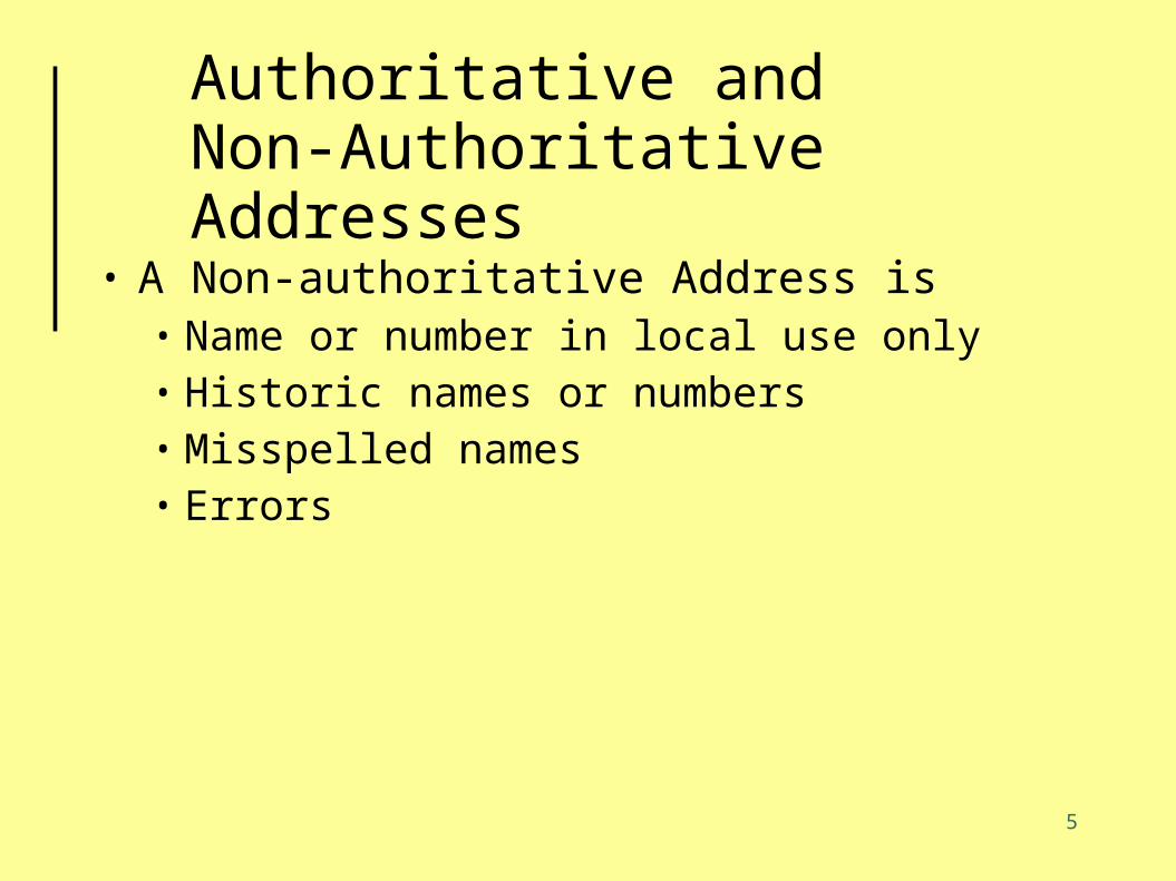
Authoritative and Non-Authoritative Addresses
• A Non-authoritative Address is• Name or number in local use only• Historic names or numbers• Misspelled names• Errors
6
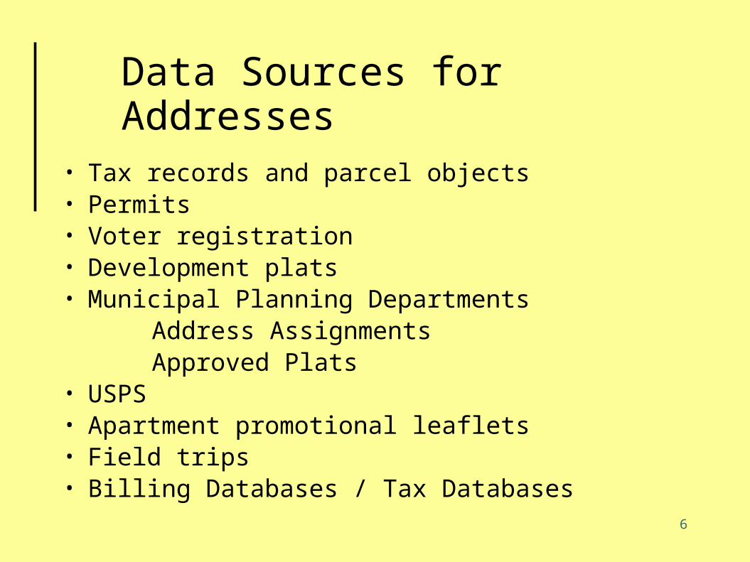
Data Sources for Addresses
• Tax records and parcel objects• Permits• Voter registration• Development plats• Municipal Planning Departments Address Assignments Approved Plats• USPS• Apartment promotional leaflets• Field trips• Billing Databases / Tax Databases
7
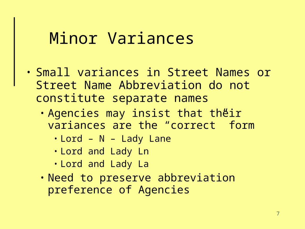
Minor Variances
• Small variances in Street Names or Street Name Abbreviation do not constitute separate names• Agencies may insist that their variances are
the “correct” form• Lord – N – Lady Lane• Lord and Lady Ln• Lord and Lady La
• Need to preserve abbreviation preference of Agencies
8
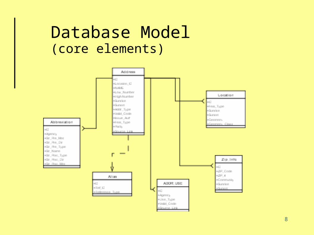
Database Model(core elements)

9
Interaction with Address Standard
10
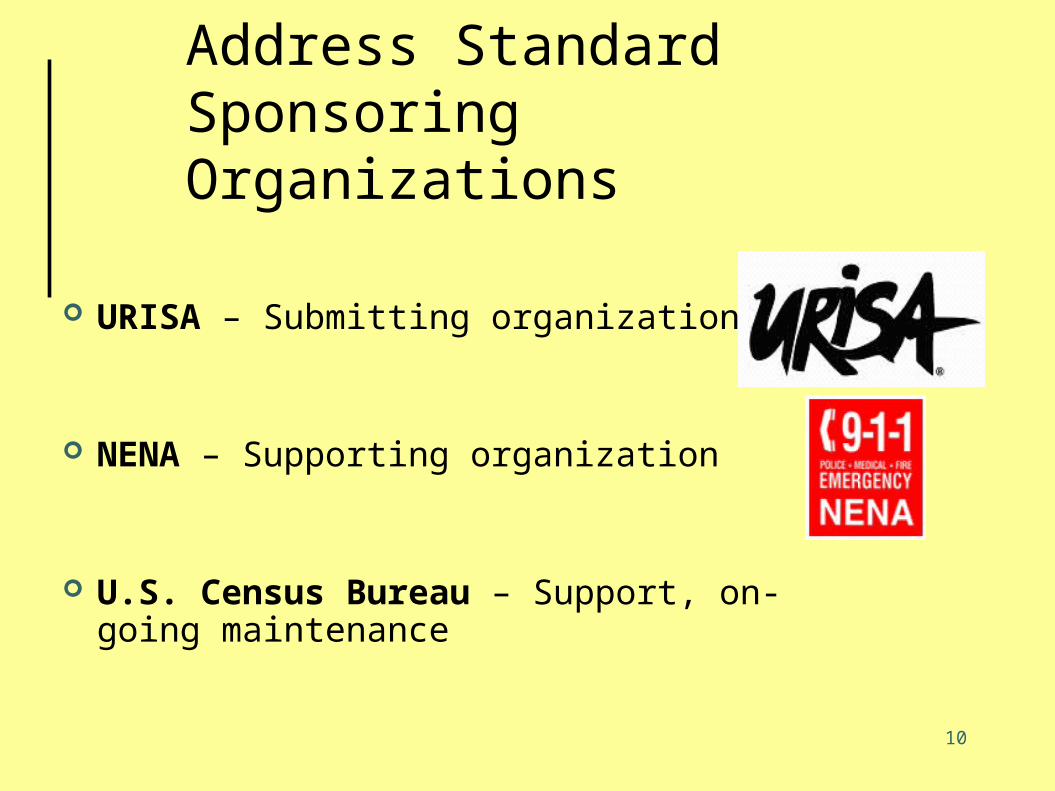
Address StandardSponsoring Organizations
URISA – Submitting organization
NENA – Supporting organization
U.S. Census Bureau – Support, on-going maintenance
11
Authority
In April 2005, the Federal Geographic Data Committee (FGDC) approved URISA’s proposal to create a street address data standard
The standard is being prepared under the auspices of the FGDC Subcommittee on Cultural and Demographic Data, chaired by the Census Bureau
If the standard is adopted, the Census Bureau will be the maintenance authority
12
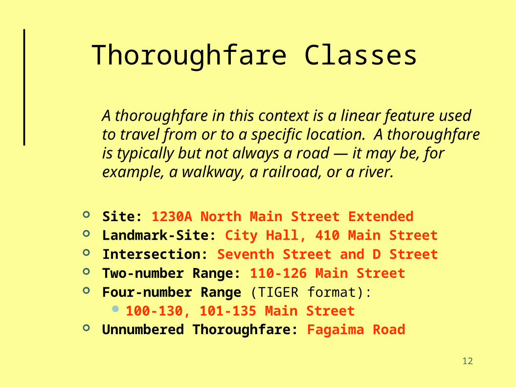
Thoroughfare Classes
A thoroughfare in this context is a linear feature used to travel from or to a specific location. A thoroughfare is typically but not always a road — it may be, for example, a walkway, a railroad, or a river.
Site: 1230A North Main Street Extended Landmark-Site: City Hall, 410 Main Street Intersection: Seventh Street and D Street Two-number Range: 110-126 Main Street Four-number Range (TIGER format):
100-130, 101-135 Main Street Unnumbered Thoroughfare: Fagaima Road

13
Landmark Classes
A landmark is a named point or area that is prominent enough in the local landscape as to be publicly known.
Single Site: Howard University Multi-site: Truth Hall, Howard
University Community: 123 Urbanization Los
Olmos
14
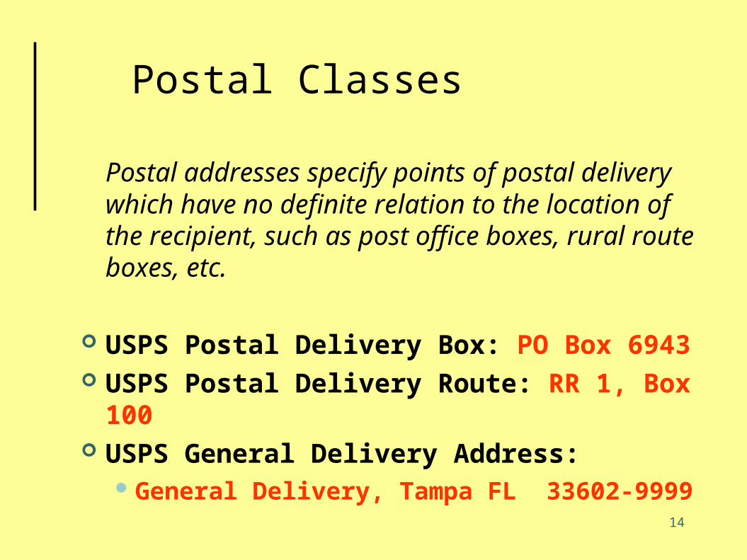
Postal Classes
Postal addresses specify points of postal delivery which have no definite relation to the location of the recipient, such as post office boxes, rural route boxes, etc.
USPS Postal Delivery Box: PO Box 6943 USPS Postal Delivery Route: RR 1, Box
100 USPS General Delivery Address:
General Delivery, Tampa FL 33602-9999

15
General Class
Holds addresses of any class: Complete Feature Address,
Place, State, ZIP, ZIP+4, Nation For general mailing and contact lists Supports specialized profiles such as
USPS Publication 28 standard A starting point for parsing and
classification

16
Exchange (continued)
Destination Dataset
Local Dataset
ImportEngine
ExportEngine
XMLExchange Data andMetadata
XMLExchange Data andMetadata
17
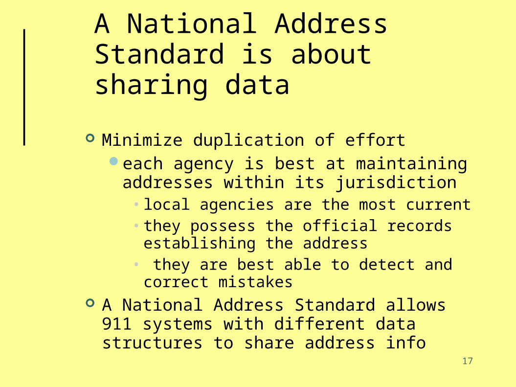
A National Address Standard is about sharing data
Minimize duplication of efforteach agency is best at maintaining
addresses within its jurisdiction• local agencies are the most current• they possess the official records
establishing the address• they are best able to detect and correct
mistakes A National Address Standard allows 911
systems with different data structures to share address info

18
Why data sharing is in your best interests
19
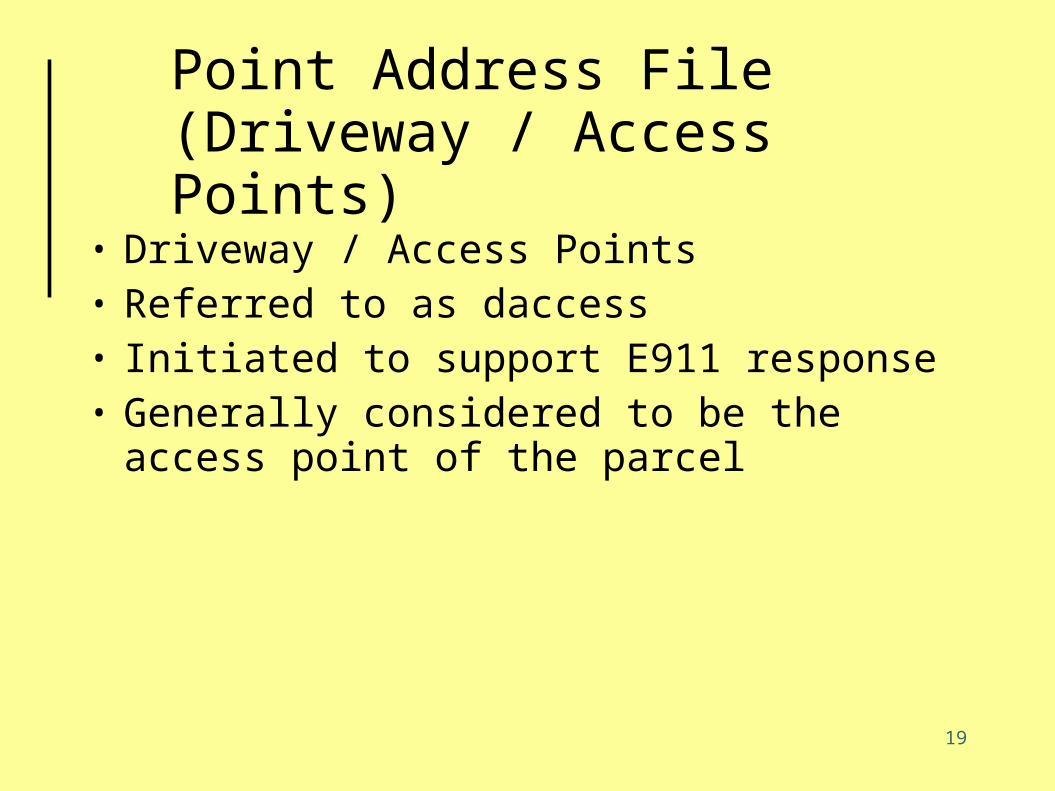
Point Address File(Driveway / Access Points)
• Driveway / Access Points• Referred to as daccess• Initiated to support E911 response• Generally considered to be the access
point of the parcel

20
Daccess Feature Types
• Primary• Secondary• Structure• Type is stored in a field in the table
21
Completeness Objectives
• Every numerical address has a primary point
• Every access to a numerical address has a point (primary or secondary).
• Every building has an address point uniquely identifying it
• Every internal address available at a numerical address has a point (address extensions)

22
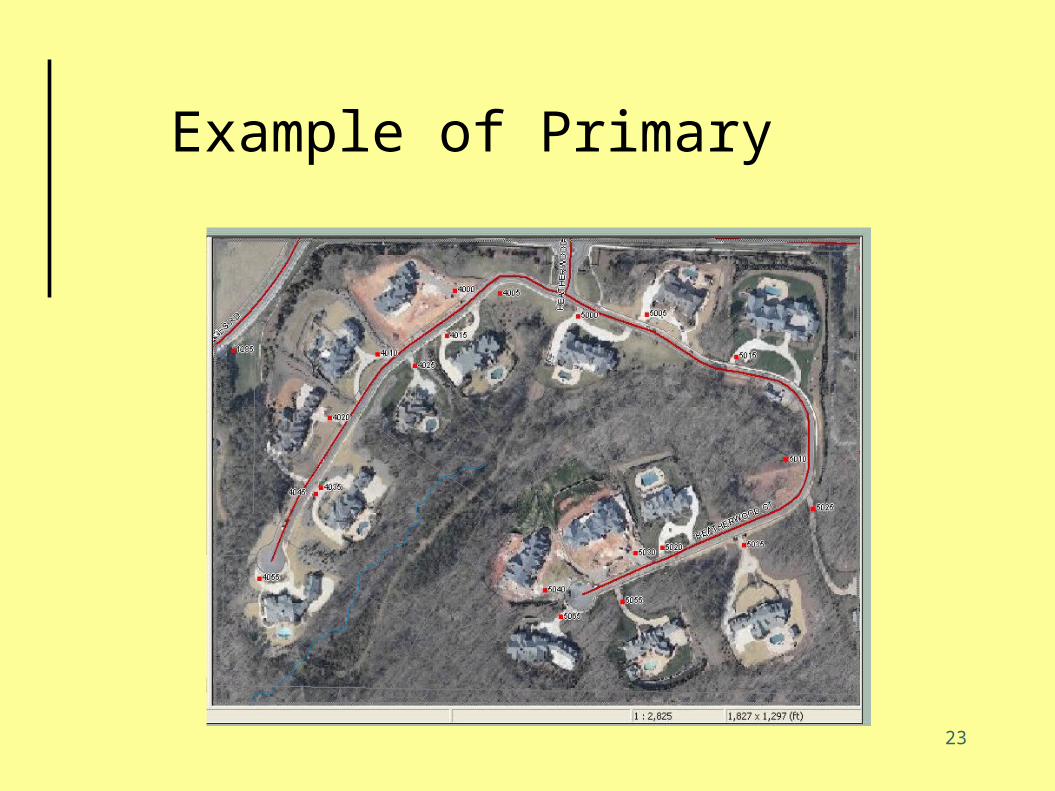
Definition of Primary
• A primary point is the entry point to that parcel off the addressed road
• Placement of point is at the driveway of a house or curb break for a shopping center or goat path to the barn
• Offset from centerline to distinguish right side from left side
• Only one primary point per address• Address ranges are allowed but not
preferred
23
Example of Primary

24
Example of Primary

25
Questions?


