27
WorldWind
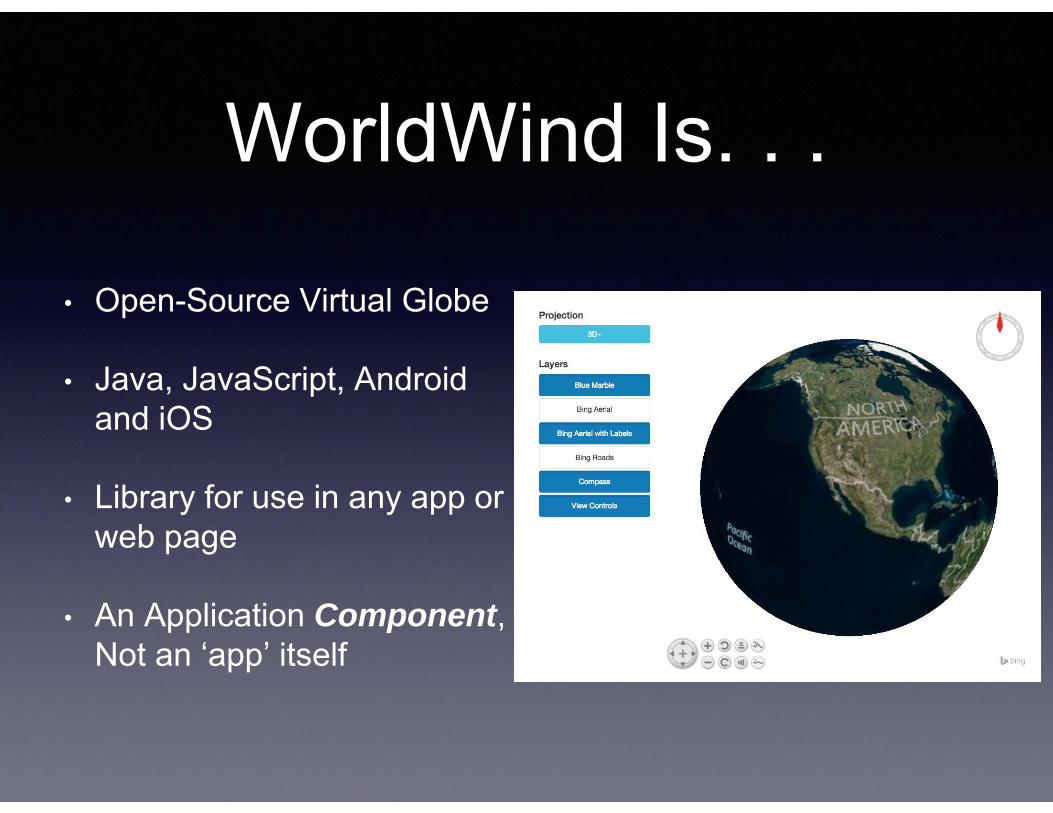
WorldWind Is. . .
• Open-Source Virtual Globe
• Java, JavaScript, Androidand iOS
• Library for use in any app or web page
• An Application Component, Not an ‘app’ itself
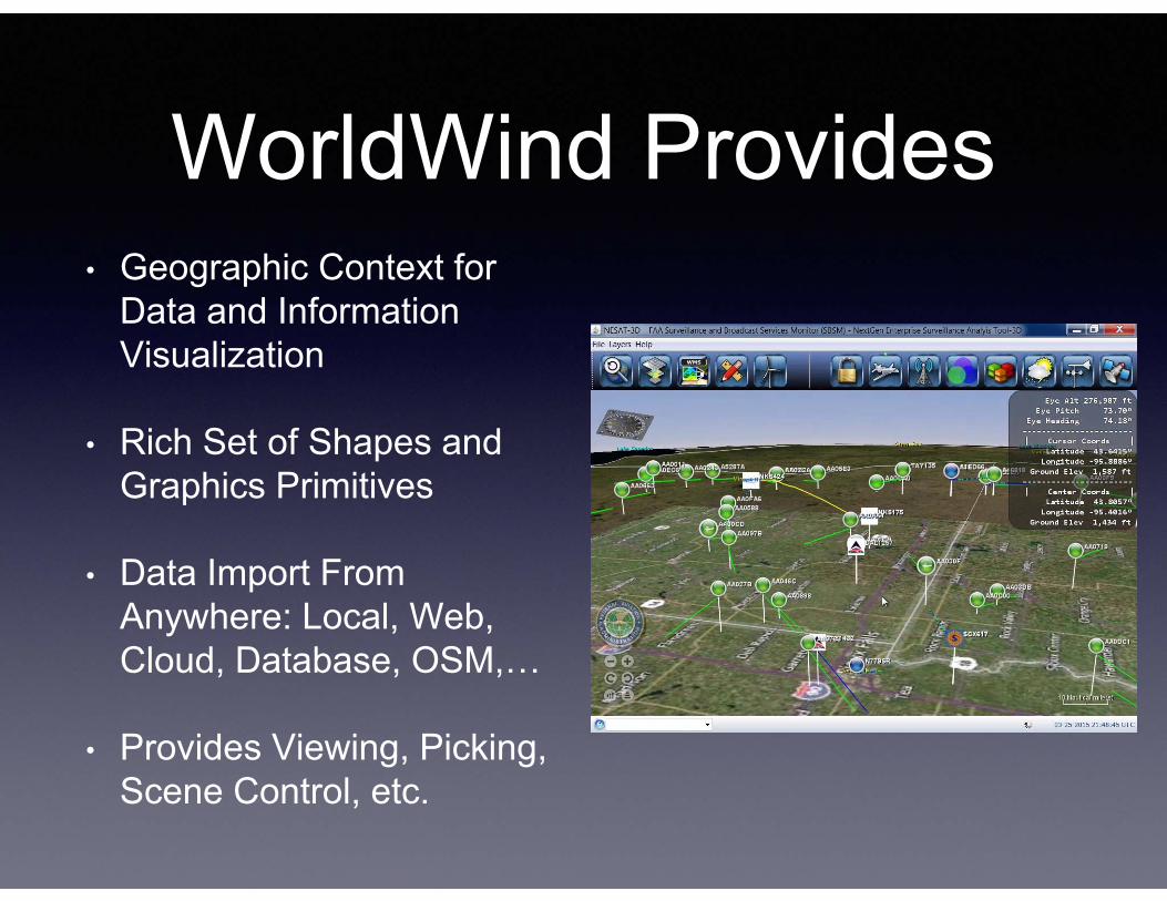
WorldWind Provides• Geographic Context for
Data and Information Visualization
• Rich Set of Shapes and Graphics Primitives
• Data Import From Anywhere: Local, Web, Cloud, Database, OSM,…
• Provides Viewing, Picking, Scene Control, etc.
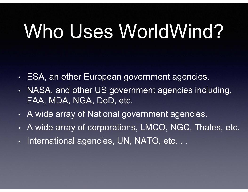
Who Uses WorldWind?
• ESA, an other European government agencies.• NASA, and other US government agencies including,
FAA, MDA, NGA, DoD, etc.• A wide array of National government agencies.• A wide array of corporations, LMCO, NGC, Thales, etc.• International agencies, UN, NATO, etc. . .
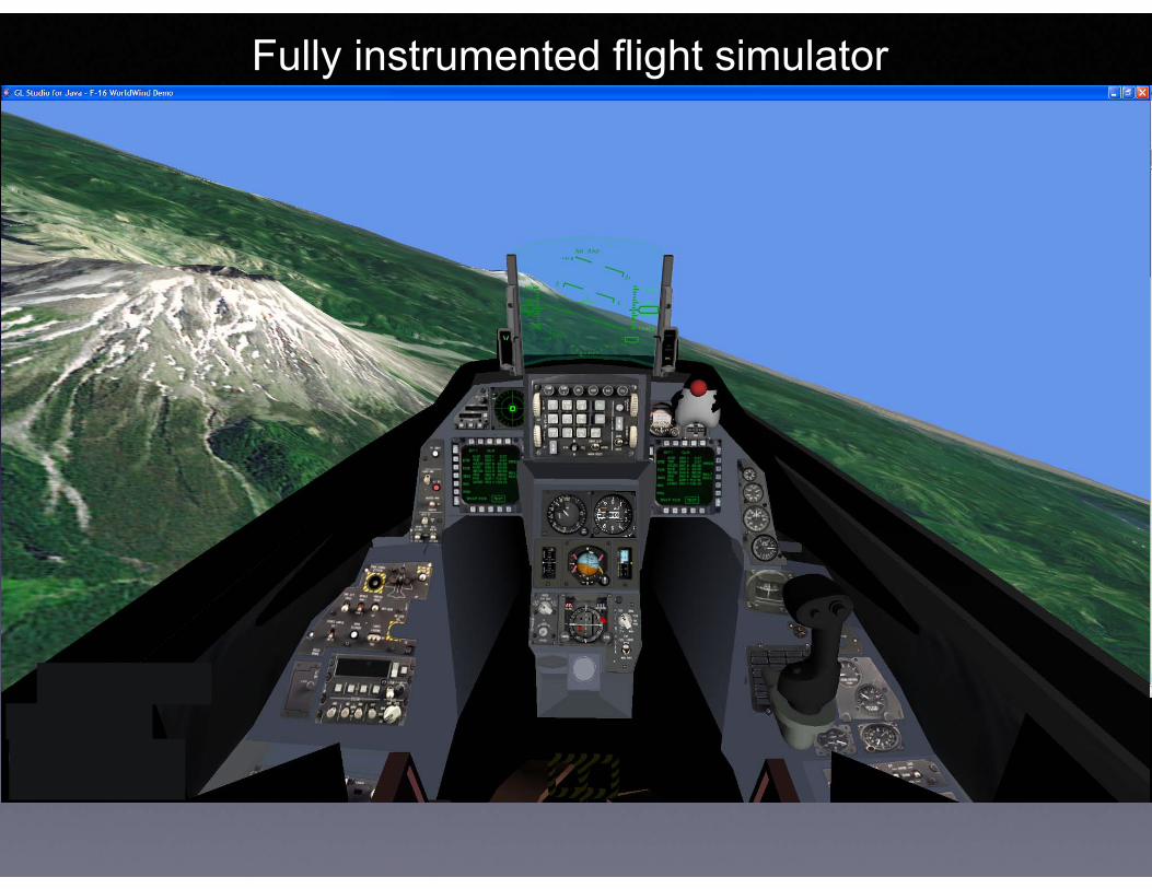
Fully instrumented flight simulator

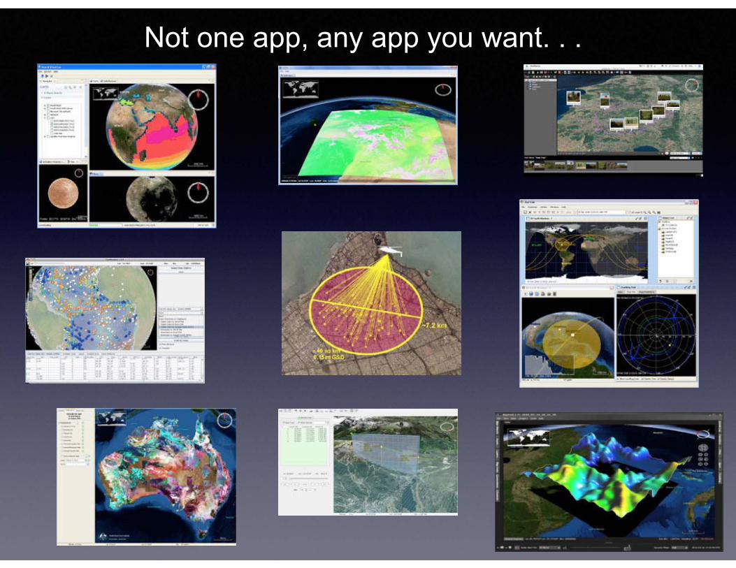
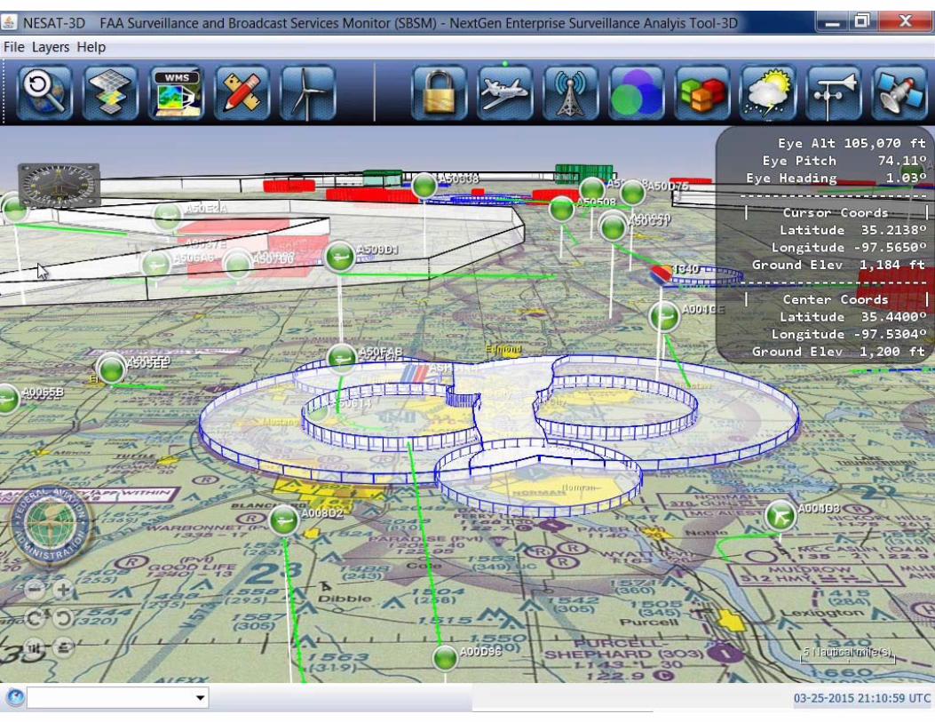
Not one app, any app you want. . .
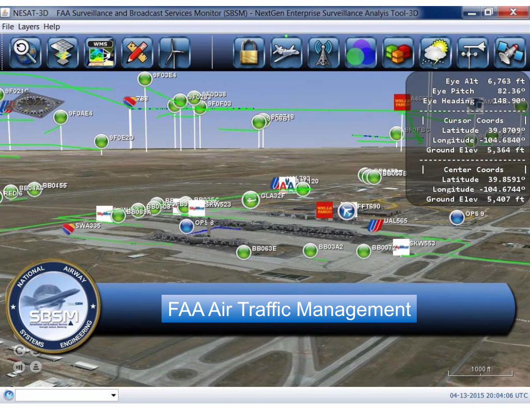
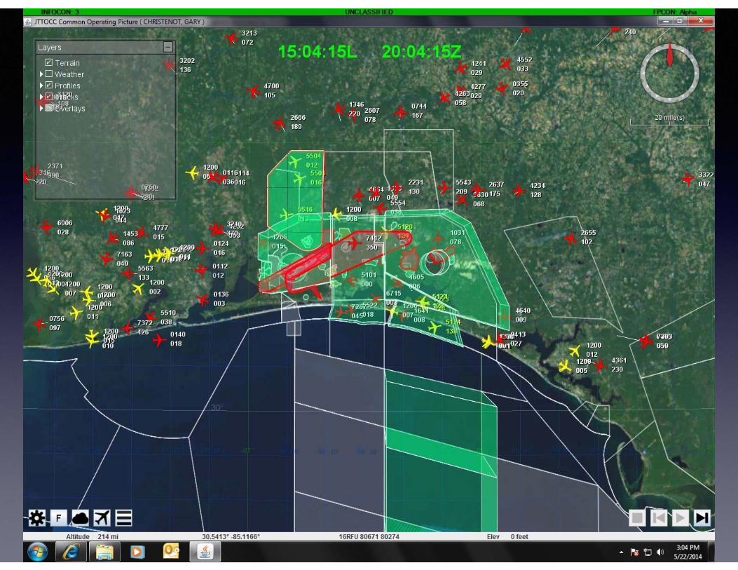
FAA Air Traffic Management
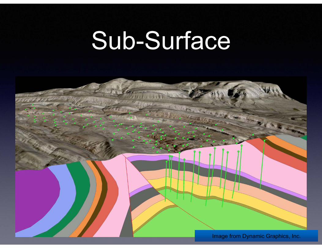
Sub-Surface
Image from Dynamic Graphics, Inc.Image from Dynamic Graphics, Inc.
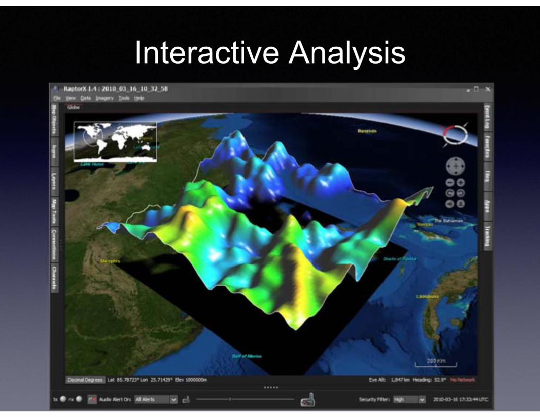
Interactive Analysis
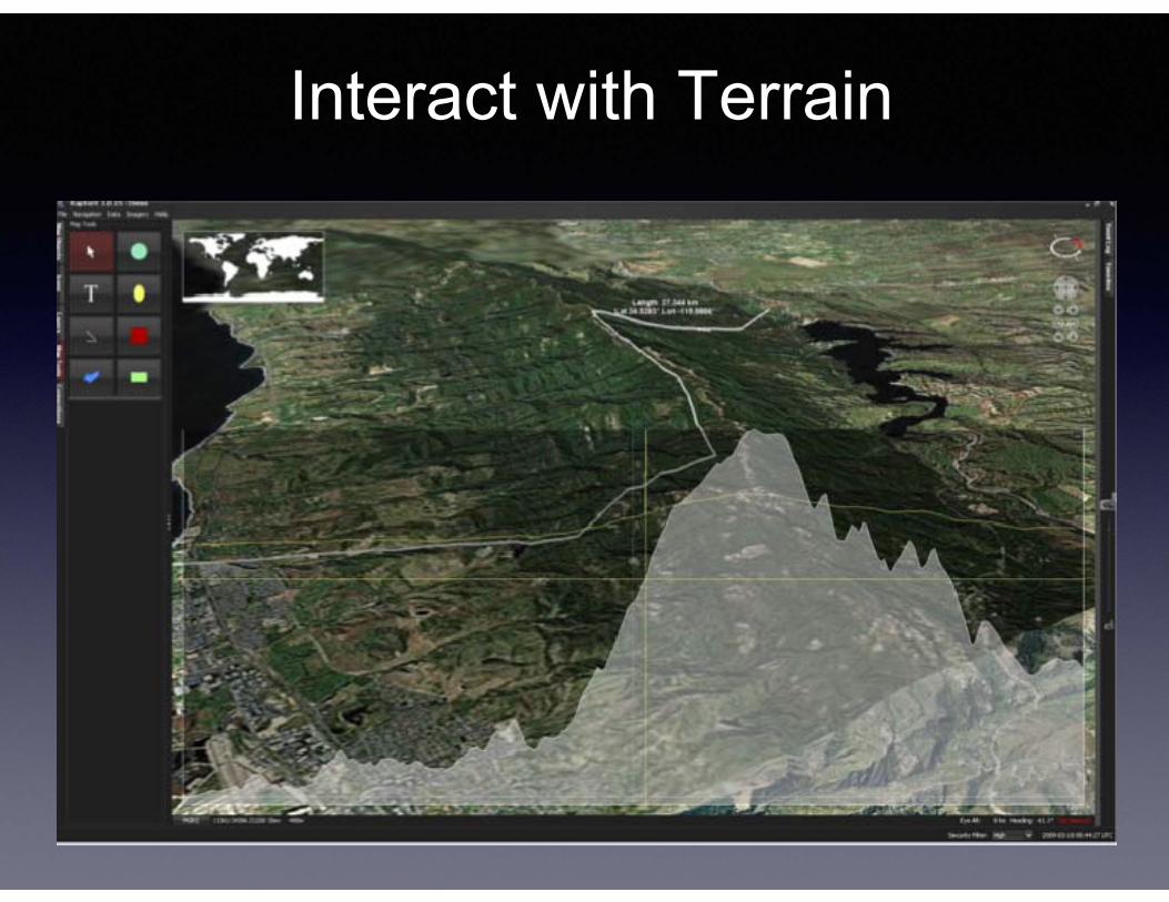
Interact with Terrain
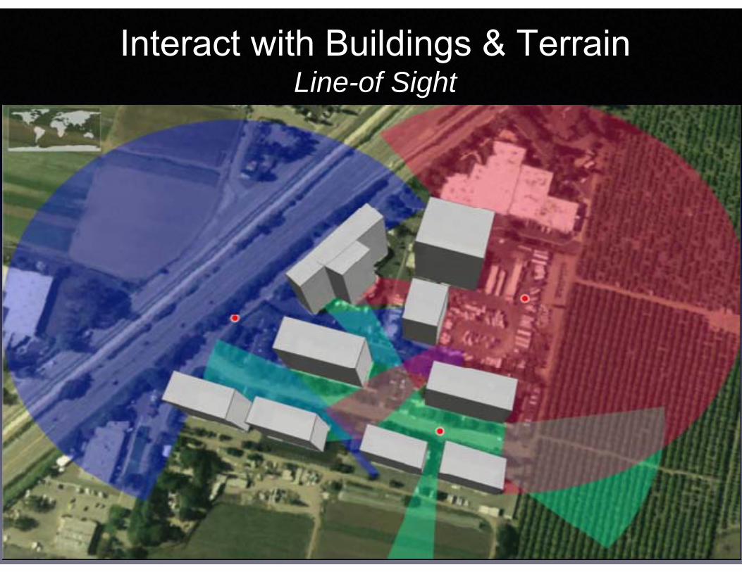
Interact with Buildings & TerrainLine-of Sight
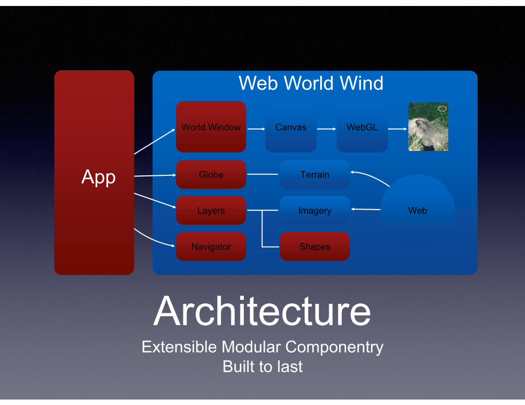
ArchitectureExtensible Modular Componentry
Built to last
Web World Wind
World WindowWorld Window
GlobeGlobe
LayersLayers
NavigatorNavigator
CanvasCanvas
TerrainTerrain
ShapesShapes
ImageryImagery
WebGLWebGL
WebWeb
App
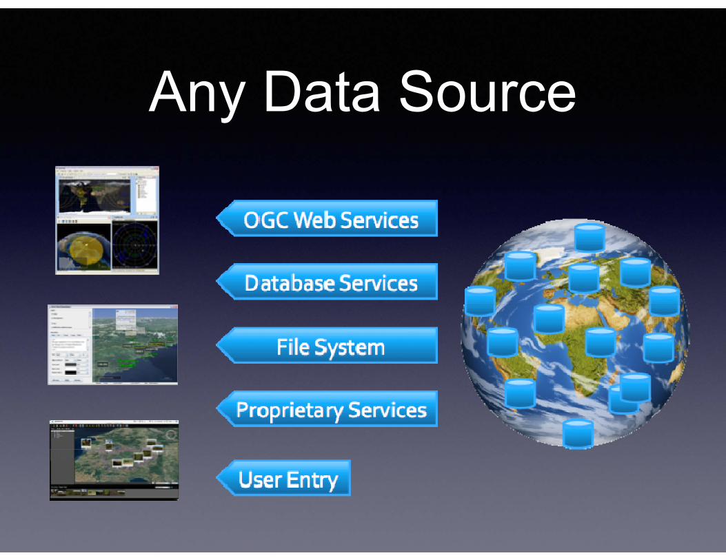
Any Data Source
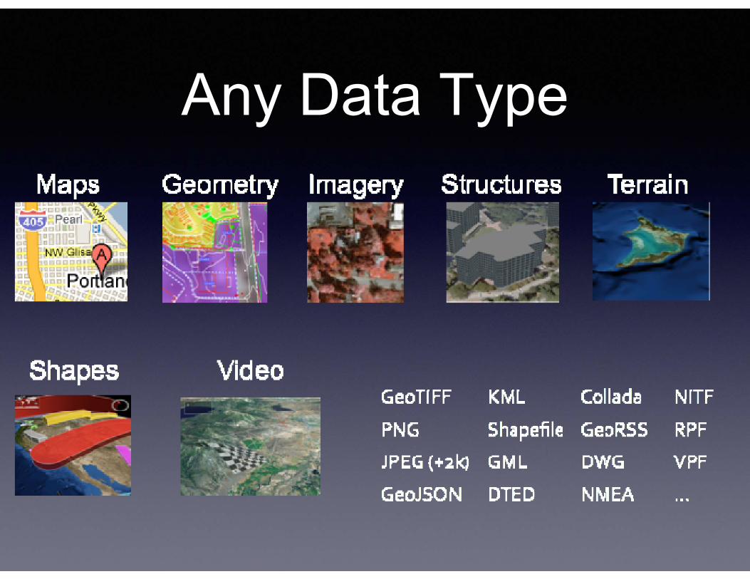
Any Data Type
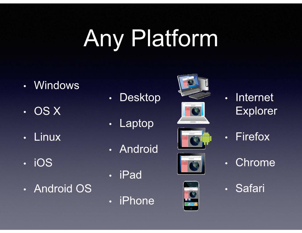
Any Platform
• Windows
• OS X
• Linux
• iOS
• Android OS
• Internet Explorer
• Firefox
• Chrome
• Safari
• Desktop
• Laptop
• Android
• iPad
• iPhone
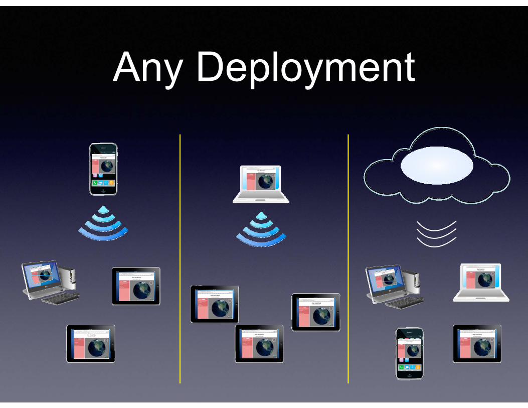
Any Deployment
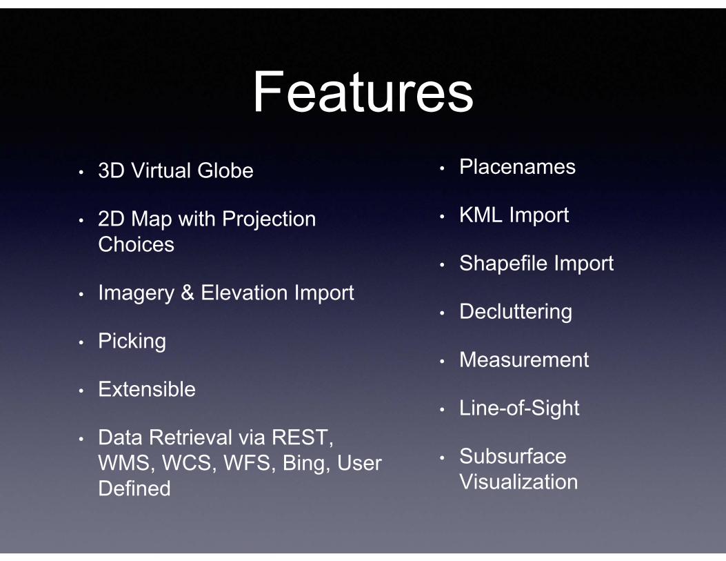
Features• 3D Virtual Globe
• 2D Map with Projection Choices
• Imagery & Elevation Import
• Picking
• Extensible
• Data Retrieval via REST, WMS, WCS, WFS, Bing, User Defined
• Placenames
• KML Import
• Shapefile Import
• Decluttering
• Measurement
• Line-of-Sight
• Subsurface Visualization
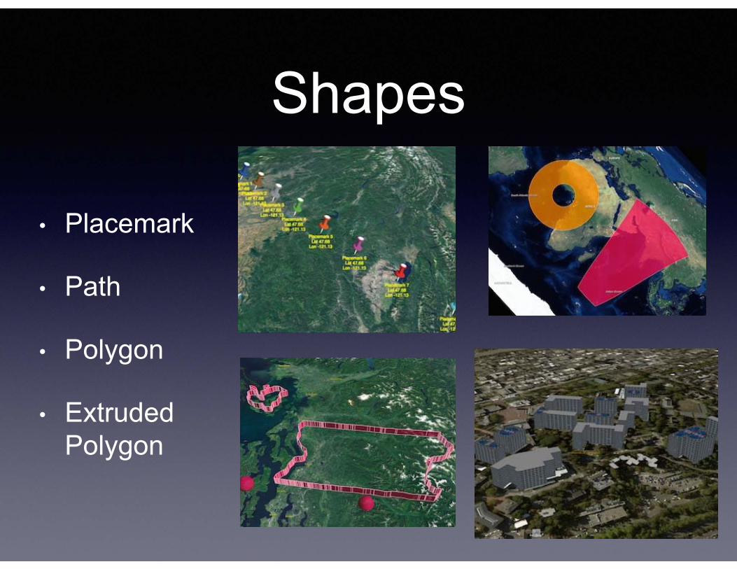
Shapes
• Placemark
• Path
• Polygon
• Extruded Polygon
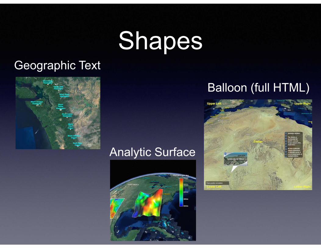
Shapes
Analytic Surface
Balloon (full HTML)
Geographic Text
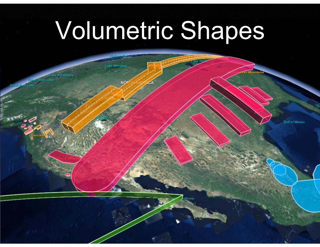
Volumetric Shapes
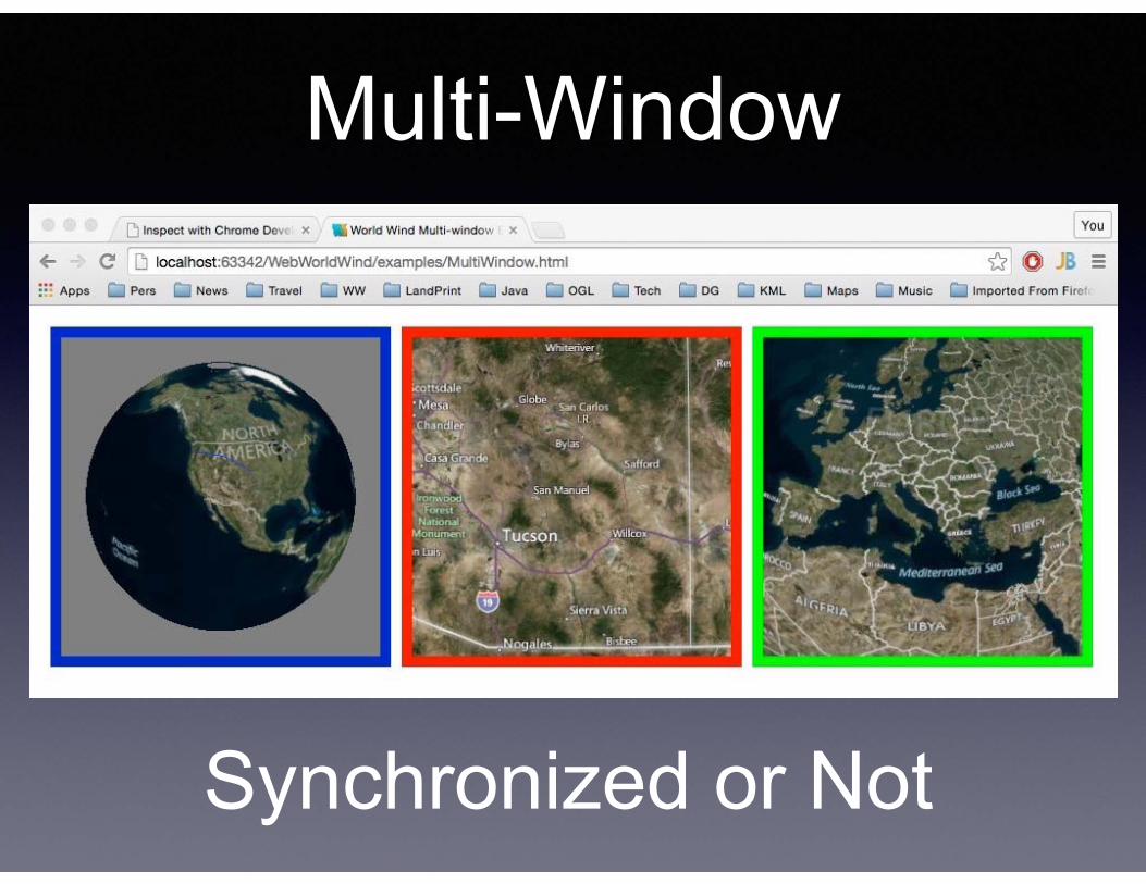
Multi-Window
Synchronized or Not
• Accurate Earth context for spatial data.
• API-centric modular componentry for any App.
• Easily learned and quickly incorporated.
• Fully extensible, add any functionality.
• World’s first and oldest Open Source virtual globe.
World Wind
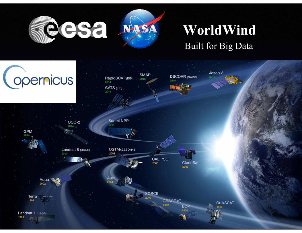
WorldWindBuilt for Big Data


