Watersheds Watersheds Watershed - An area of land that is drained by a river or other body of water. 6 states make up the Chesapeake Bay watershed: Virginia, West Virginia, Maryland, Delaware, New York, & Pennsylvania.
Transcript
WatershedsWatersheds
Watershed - An area of land that is drained by a river or other body of water.
6 states make up the Chesapeake Bay watershed: Virginia, West Virginia, Maryland, Delaware, New York, & Pennsylvania.
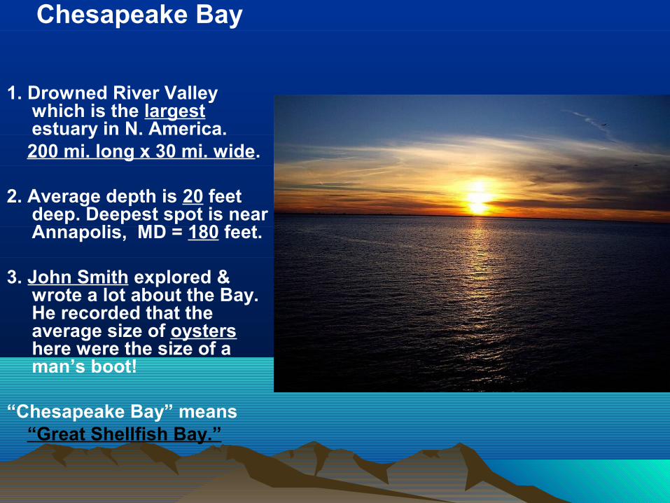
Chesapeake Bay
1. Drowned River Valley which is the largest estuary in N. America.
200 mi. long x 30 mi. wide.
2. Average depth is 20 feet deep. Deepest spot is near Annapolis, MD = 180 feet.
3. John Smith explored & wrote a lot about the Bay. He recorded that the average size of oysters here were the size of a man’s boot!
“Chesapeake Bay” means “Great Shellfish Bay.”
(Drainage Basin at a Local Level)
Chesapeake Chesapeake WatershedWatershed
• A divide is a high land area that separates one watershed from another.
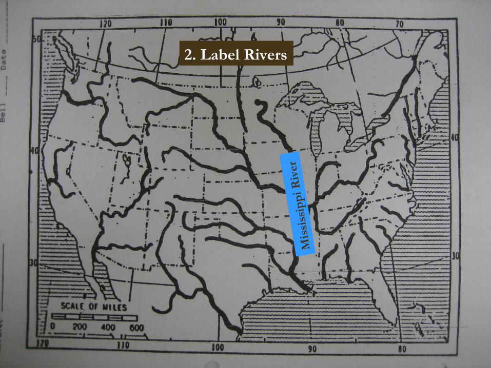
1. Label States
VA
TX
FL
2. Label Rivers
Mis
siss
ippi
Riv
er
3. Draw Drainage Basins
* There will be 5. Use a different color for each basin!