+ All Categories
Home > Documents > 636 - Washington Department of Fish and Wildlife

636 - Washington Department of Fish and Wildlife

Date post: 08-Jan-2022
Category:
Upload: others
View: 2 times
Download: 0 times
Share this document with a friend
1
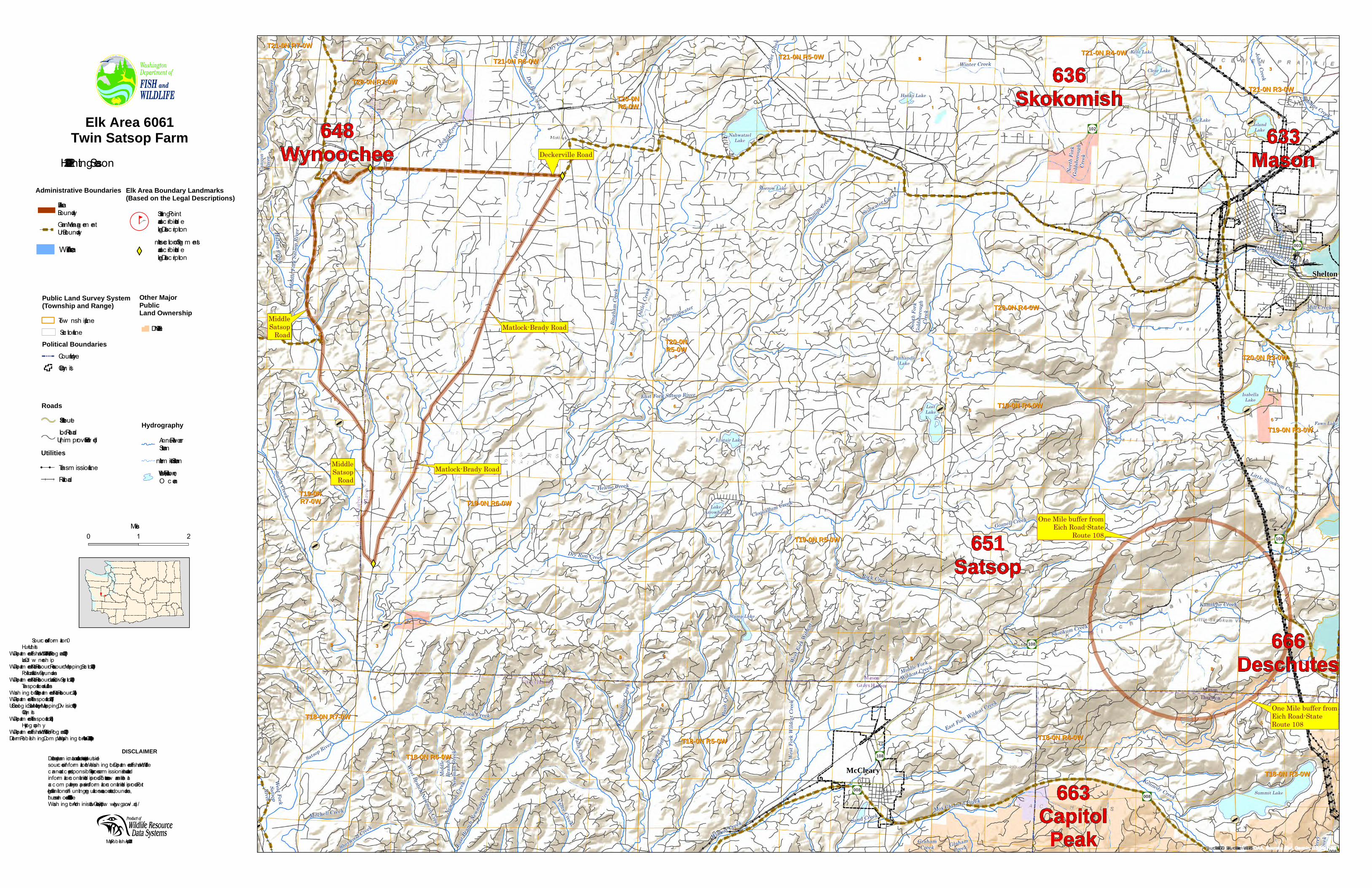
T20-0N R3-0W T20-0N R3-0W T18-0N R4-0W T18-0N R4-0W T21-0N R3-0W T21-0N R3-0W T18-0N R6-0W T18-0N R6-0W T21-0N R5-0W T21-0N R5-0W T18-0N R5-0W T18-0N R5-0W T20-0N T20-0N R6-0W R6-0W T19-0N R4-0W T19-0N R4-0W T20-0N T20-0N R5-0W R5-0W T21-0N R7-0W T21-0N R7-0W T21-0N R4-0W T21-0N R4-0W T20-0N R4-0W T20-0N R4-0W T18-0N R3-0W T18-0N R3-0W T19-0N R5-0W T19-0N R5-0W T19-0N R6-0W T19-0N R6-0W T21-0N R6-0W T21-0N R6-0W T19-0N R3-0W T19-0N R3-0W T19-0N T19-0N R7-0W R7-0W T18-0N R7-0W T18-0N R7-0W T20-0N R7-0W T20-0N R7-0W 1 1 6 36 36 36 36 31 31 31 31 36 36 36 36 1 1 1 36 36 31 31 6 36 36 6 31 31 31 31 36 36 36 36 6 1 31 31 6 6 31 31 1 6 1 1 6 1 31 31 6 6 31 31 1 36 36 31 31 6 36 36 31 31 31 31 36 36 36 36 1 6 Æ · 108 Æ · 108 Æ · 108 Æ · 003 Æ · 008 Æ · 008 Æ · 008 Æ · 102 Shelton McCleary 666 Deschutes 648 Wynoochee Kent Lake Clear Lake Hanks Lake Nahwatzel Lake Island Lake Turtle Lake Morrow Lake Panhandle Lake Isabella Lake Lost Lake Fawn Lake Lystair Lake Lake Arrowhead Stump Lake Summit Lake Satsop River Dry Creek Graham Creek Canyon River Cook Creek Cloquallum Creek Bush Creek Middle Fork Satsop River Smith Creek Mox Chehalis Creek West Fork Wildcat Creek Graham Creek West Fork Wildcat East Fork Wildcat Creek Dry Run Creek Newman Creek Rock Creek Skookum Creek Perry Creek East Branch Newman Creek Mitchell Creek Decker Creek Little Skookum Creek Gosnell Creek Kamilche Creek Helene Creek The Stillwater Wildcat Creek West Fork Satsop River Rock Creek Vance Creek Petersen Creek Dry Bed Creek Rabbit Creek Sherwood Creek Middle Fork Wildcat Creek Kennedy Creek Power Creek Middle Branch Newman Creek North Fork Goldsborough Creek Sand Creek Outlet Creek Falls Creek Halsea Creek Outlet Creek Cloquallum Creek West Branch Newman Creek Stillwater Creek Shelton Creek South Fork Goldsborough Creek Johns Creek Phillips Creek Johns Creek Canyon River East Fork Satsop River Mill Creek Winter Creek Bingham Creek Goldborough Creek Deckerville Road Matlock-Brady Road Matlock-Brady Road Middle Satsop Road Middle Satsop Road One Mile buffer from Eich Road-State Route 108 One Mile buffer from Eich Road-State Route 108 663 Capitol Peak 651 Satsop 636 Skokomish 633 Mason Sourc es: Esr i, USGS , NO AA , Sourc es: Esr i, Ga rm in, USGS , NPS Elk Area 6061 Twin Satsop Farm 2021 - 2022 Hunt ing Season Administrative Boundaries E l k Area Bounda ry Game Management Unit Bounda ry Sources of I nform a t ion Hunt Units WA Depa rt ment of F ish and Wil d l ife ; Wil d l ife P rog ram ( 2020 ) Land O w ne rsh ip WA Depa rt ment of Na tura l Resourc es; Resourc e Mapping Sect ion ( 2020 ) Pol it ic a l and Surv ey Bounda r ies WA Depa rt ment of Na tura l Resourc es; Land Survey Sect ion ( 2020 ) T ransporta t ion and Ut il it ies Wash ingt on S ta te Depa rtm ent of Na t ura l Resourc es ( 201 ) WA Depa rt ment of T ransport a t ion ( 2017 ) US Geol og ic a l Surv ey ; Na t iona l Mapping D iv ision ( 1989 ) C ity L im its WA Depa rt ment of T ransport a t ion ( 201 ) Hy d rograph y WA Depa rt ment of F ish and Wil d l ife , F ish P rog ram ( 2020 ) De l orm e Publ ish ing Company ; Wash ingt on A t l as and Gaze tee r ( 2006 ) Public Land Survey System (Township and Range) Tow nship L ine Sect ion L ine Political Boundaries County L ine C ity L im it s Other Major Public Land Ownership S ta te - DNR Map Publ ished April 2021 Roads S ta te Route Loca l Road ( Unim proved to Pav ed ) Hydrography Annua l R iv e r or S tream I nte rm it ent S tream Lake , Wide R iv e r, or O cean Elk Area Boundary Landmarks (Based on the Legal Descriptions) j g ( S ta rt ing Point as describ ed in the Leg a l Desc ript ion X Y I nte rsect ion of Segm ents as describ ed in the Leg a l Desc ript ion 0 1 2 Mil es Due t o t he dy namic na ture of da ta and t he need t o re l y on outside sources of inform a t ion t he Wash ington Depa rtm ent of F ish and Wil d l ife cannot accept responsibil ity for e rrors or om issions in the da t a and inform a t ion c onta ined in t h is produc t. The re a re no wa rrant ies t ha t accompany the maps and inform a t ion c ont a ined in this produc t. For l ega l de finit ions of h unt ing reg ul a t ions, seasons, and bounda r ies, t he use r sh oul d re fe r t o T it l e 220 - 415 - 040 of t he Wash ington Administ ra t iv e Code ( htp: / / www. l eg. wa . g ov . / wac/ ) DISCLAIMER Utilities ! ! T ransmission L ine Ra il road Wil d l ife Area
Transcript

T20-0N R3-0WT20-0N R3-0W

T18-0N R4-0WT18-0N R4-0W

T21-0N R3-0WT21-0N R3-0W

T18-0N R6-0WT18-0N R6-0W

T21-0N R5-0WT21-0N R5-0W

T18-0N R5-0WT18-0N R5-0W

T20-0NT20-0NR6-0WR6-0W

T19-0N R4-0WT19-0N R4-0W

T20-0NT20-0NR5-0WR5-0W

T21-0N R7-0WT21-0N R7-0WT21-0N R4-0WT21-0N R4-0W

T20-0N R4-0WT20-0N R4-0W

T18-0N R3-0WT18-0N R3-0W

T19-0N R5-0WT19-0N R5-0W

T19-0N R6-0WT19-0N R6-0W

T21-0N R6-0WT21-0N R6-0W

T19-0N R3-0WT19-0N R3-0W

T19-0NT19-0NR7-0WR7-0W

T18-0N R7-0WT18-0N R7-0W

T20-0N R7-0WT20-0N R7-0W

11

1166

3636

3636

3131

3131

3636

3636

11

11

11

3636

3131

66

3636

66

3131

3131

3636

3636

66

11

3131

66

66

3131

11 66

11

11

66

11

3131

6666

3131

11

3636

3131

66

3636

3131

3131

3636

3636

1166

Æ·108

Æ·108

Æ·108

Æ·003

Æ·008

Æ·008Æ·008

Æ·102

Shelton

McCleary

666Deschutes

648Wynoochee

Kent Lake

Clear Lake

Hanks Lake

NahwatzelLake

IslandLake

Turtle Lake

Morrow Lake

PanhandleLake

IsabellaLake

LostLake

Fawn Lake

Lystair Lake

LakeArrowhead

Stump Lake

Summit Lake

Satsop River

Dry Creek

GrahamCreek

Cany

onRi

ver

Cook Creek

Cloquallum Creek

Bush

Cree

k

Midd

le Fo

rk Sa

tsop R

iver

Smith Creek

Mox Chehalis CreekWe

st Fo

rk W

ildca

t Cree

k

GrahamCreek

West Fo

rk Wild

cat

East Fork Wildcat Creek

Dry Run Creek

Newm

an Cr

eek

Rock Creek

Skookum Creek

Perry

Cree

k

East

Bran

ch Ne

wman

Creek

Mitchell Creek

Decker

Creek

Little Skookum Creek

Gosnell Creek

Kamilche Creek

Helene Creek

The Stillwater

Wildcat Creek

West ForkSatsopRiver

Rock Creek

Vance Creek

Peter

senCr

eek

Dry Bed Creek

Rabbit Creek

Sherwood Creek

Middle Fork

Wildcat Creek

Kennedy Creek

Powe

r Cree

k

Midd

leBr

anch

Newm

an C

reek

North

Fork

Golds

borou

ghCr

eek

Sand Creek

Outle

t Cree

k

Falls Creek

Halsea Creek

Outle

t Cree

k

Cloq

uallu

m Cr

eek

West Branch Newman Creek

Stillwater Creek

Shelton Creek

Sout

h Fork

Golds

borou

ghCr

eek

Johns Creek

Phillips C

reek

Johns Creek

Cany

on R

iver

East Fork Satsop River

Mill Creek

Winter Creek

Bing

ham

Cree

k

Goldborough Creek

Deckerville Road

Matlock-Brady Road

Matlock-Brady Road

MiddleSatsop

Road

MiddleSatsop

Road

One Mile buffer fromEich Road-StateRoute 108

One Mile buffer fromEich Road-State

Route 108

663CapitolPeak

651Satsop

636Skokomish

633Mason

Sources: Esri, USGS, NO AA, Sources: Esri, Garm in, USGS, NPS

Elk Area 6061Twin Satsop Farm2021-2022 Hunting Season

Administrative BoundariesElk AreaBoundaryGam e Managem entUnit Boundary

Sources of Inform ation – Huntt Units WA Departm ent of Fish and Wildlife; Wildlife Prog ram (2020) Land O w nersh ip WA Departm ent of Natural Resources; Resource Mapping Section (2020) Political and Surv ey Boundaries WA Departm ent of Natural Resources; Land Surv ey Section (2020) Transportation and Utilities Wash ing ton State Departm ent of Natural Resources (2011) WA Departm ent of Transportation (2017) US Geolog ical Surv ey; National Mapping Div ision (1989) City Lim its WA Departm ent of Transportation (2011) Hydrog raph y WA Departm ent of Fish and Wildlife, Fish Prog ram (2020) Delorm e Pub lish ing Com pany; Wash ing ton Atlas and Gazetteer (2006)

Public Land Survey System(Township and Range)

Tow nsh ip LineSection Line

Political BoundariesCounty LineCity Lim its

Other MajorPublicLand Ownership

State - DNR

Map Pub lish ed April 2021

RoadsState RouteLocal Road(Unim prov ed to Paved)

HydrographyAnnual Riv er orStreamInterm ittent StreamLake, Wide Riv er, orO cean

Elk Area Boundary Landmarks(Based on the Legal Descriptions)

jg(Starting Pointas desc rib ed in th eLegal Desc ription

XYIntersection of Seg m entsas desc rib ed in th eLegal Desc ription

0 1 2Miles

Due to th e dynam ic nature of data and th e need to rely on outsidesources of inform ation th e Wash ing ton Departm ent of Fish and Wildlifecannot ac cept responsib ility for errors or om issions in th e data andinform ation c ontained in th is produc t. Th ere are no w arranties th atac c om pany th e m aps and inform ation c ontained in th is produc t. Forleg al definitions of h unting reg ulations, seasons, and b oundaries,th e user sh ould refer to Title 220-415-040 of th eWash ing ton Adm inistrativ e Code (h ttp://w w w .leg .w a.g ov./w ac/)

DISCLAIMER

Utilities! ! Transm ission Line

Railroad

Wildlife Area

Recommended