Mapping Tools for Coastal Management in Virginia Marcia Berman Director, Comprehensive Coastal Inventory Program Center for Coastal Resources Management Virginia Institute of Marine Science College of William and Mary
Transcript
Mapping Tools for Coastal Management in Virginia
Marcia Berman
Director, Comprehensive Coastal Inventory Program
Center for Coastal Resources Management
Virginia Institute of Marine Science
College of William and Mary
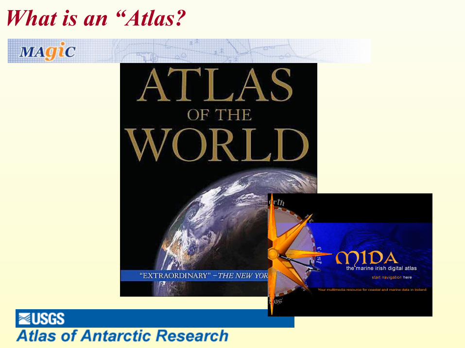
What is an “Atlas?
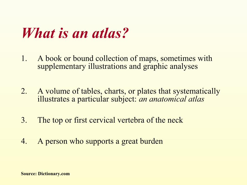
What is an atlas?
1. A book or bound collection of maps, sometimes with supplementary illustrations and graphic analyses
2. A volume of tables, charts, or plates that systematically illustrates a particular subject: an anatomical atlas
3. The top or first cervical vertebra of the neck
4. A person who supports a great burden
Source: Dictionary.com
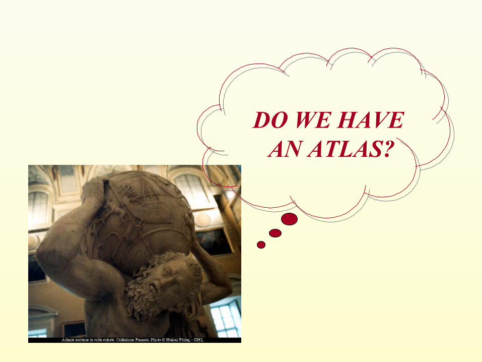
DO WE HAVE AN ATLAS?
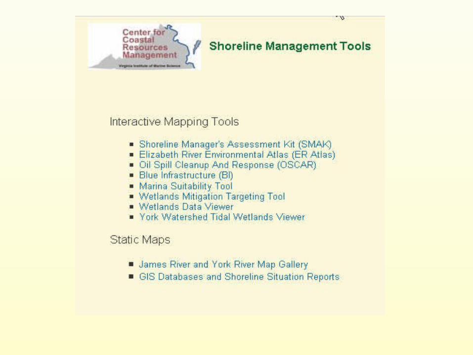
Coastal Management Tools
• Chesapeake Bay Shoreline Inventory
• VA Shoreline Manager’s Assessment Kit
• Wetlands Data Viewer
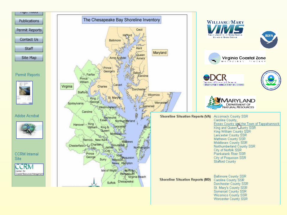
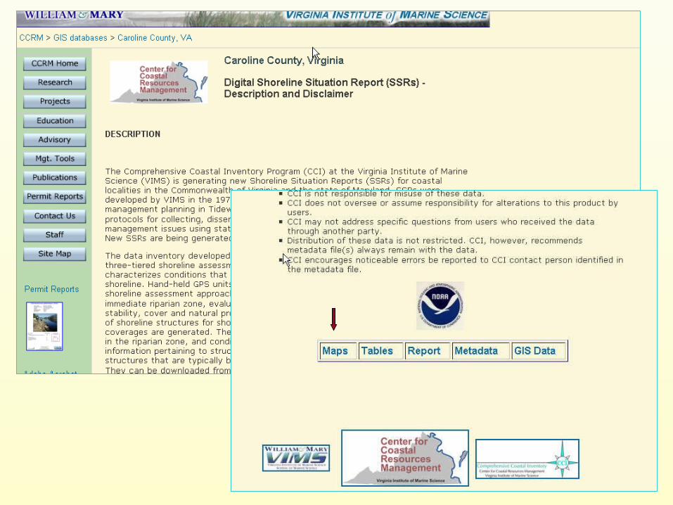
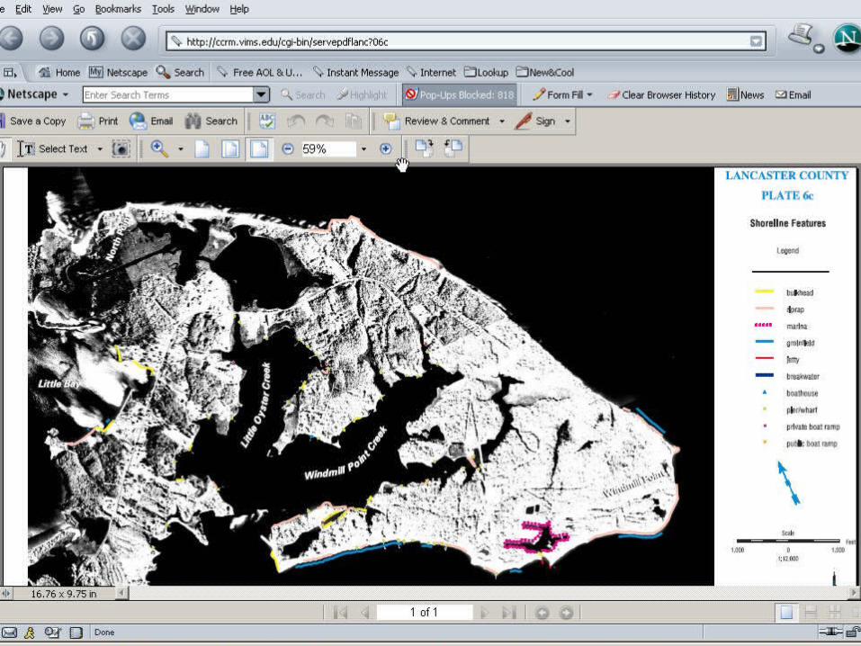
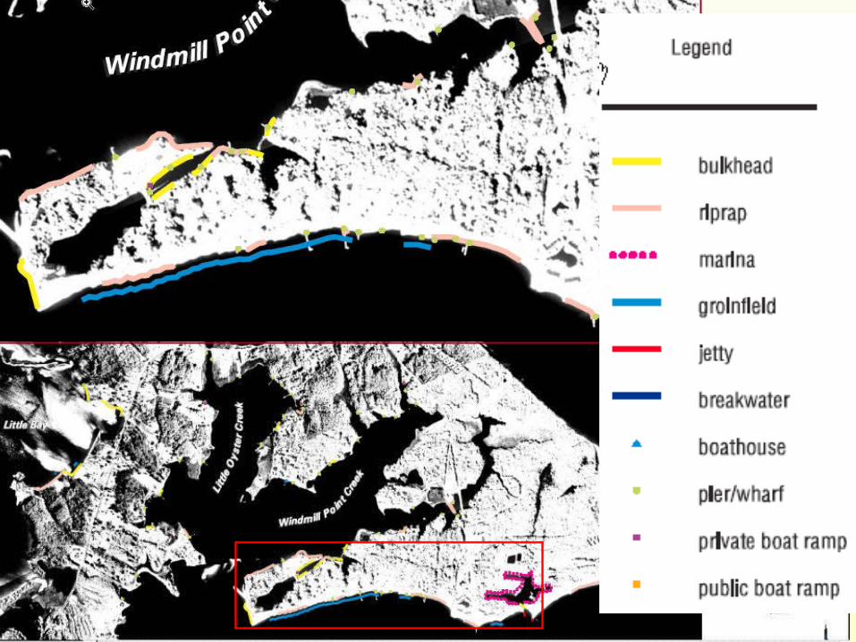
Chesapeake Bay Shoreline Inventory
• Inventory of shoreline condition inclusive of: land use, bank stability, natural buffers, anthropogenic modifications
• Purpose:promote informed shoreline management decision making at state and local levels
• Audience:– Federal, state and local regulatory and planning programs;
– Private citizens and consultants
– Regional environmental planners and managers
• Geographic Coverage– Tidal shoreline in Virginia (16,000 km)
– Tidal shoreline in Maryland (6,440 km)
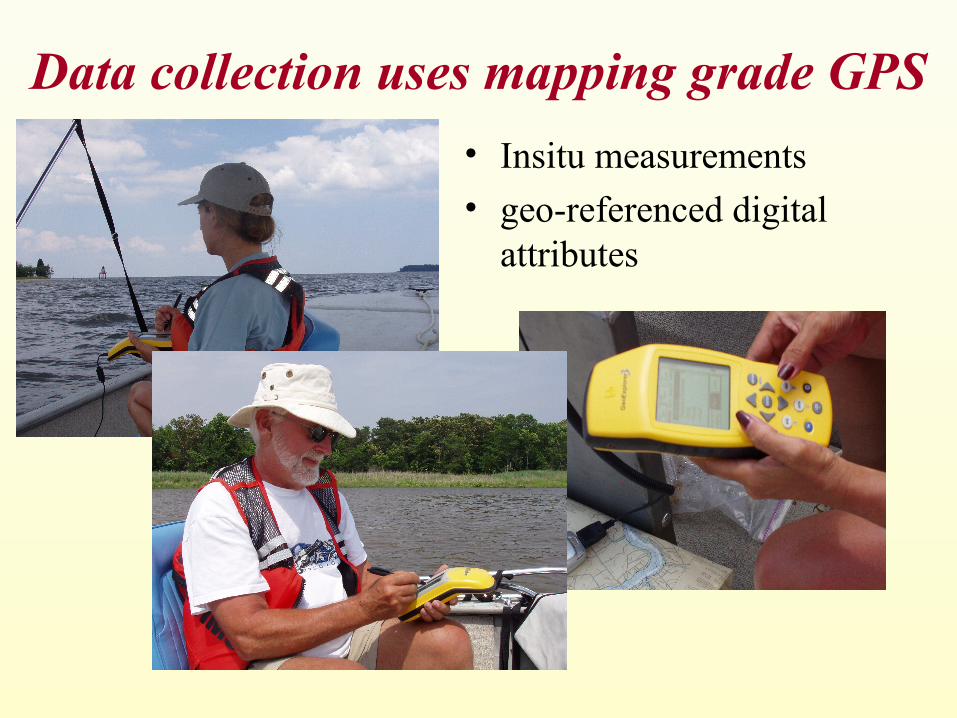
Data collection uses mapping grade GPS
• Insitu measurements• geo-referenced digital
attributes
Data Processing Combines GPS and GIS Technology
Chesapeake Bay Shoreline Inventory“….. is it an atlas?”
• Maps
• Tables
• GIS Data
• Reports
• Imagery… I think so
Coastal Management Tools
• Chesapeake Bay Shoreline Inventory
• VA Shoreline Manager’s Assessment Kit
• Wetlands Data Viewer
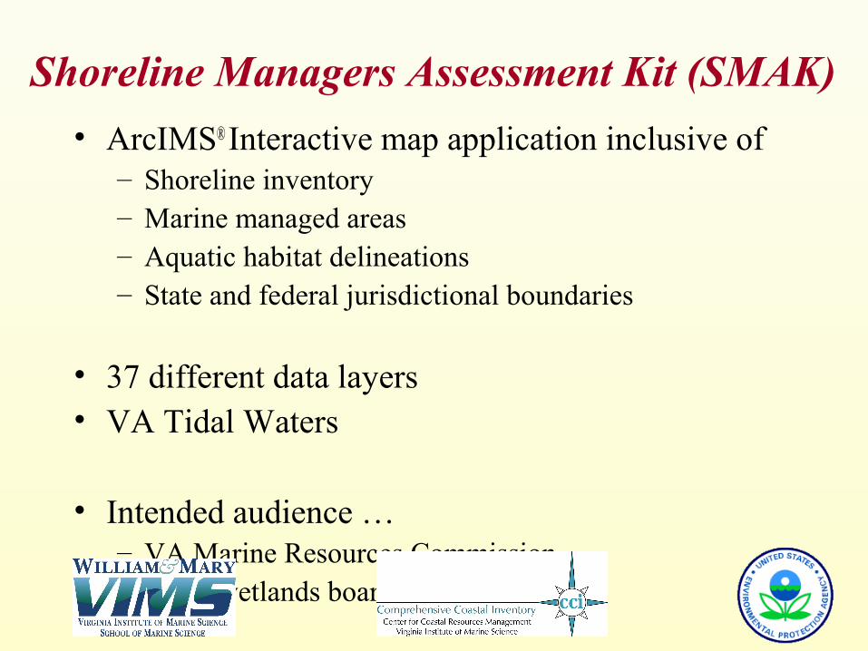
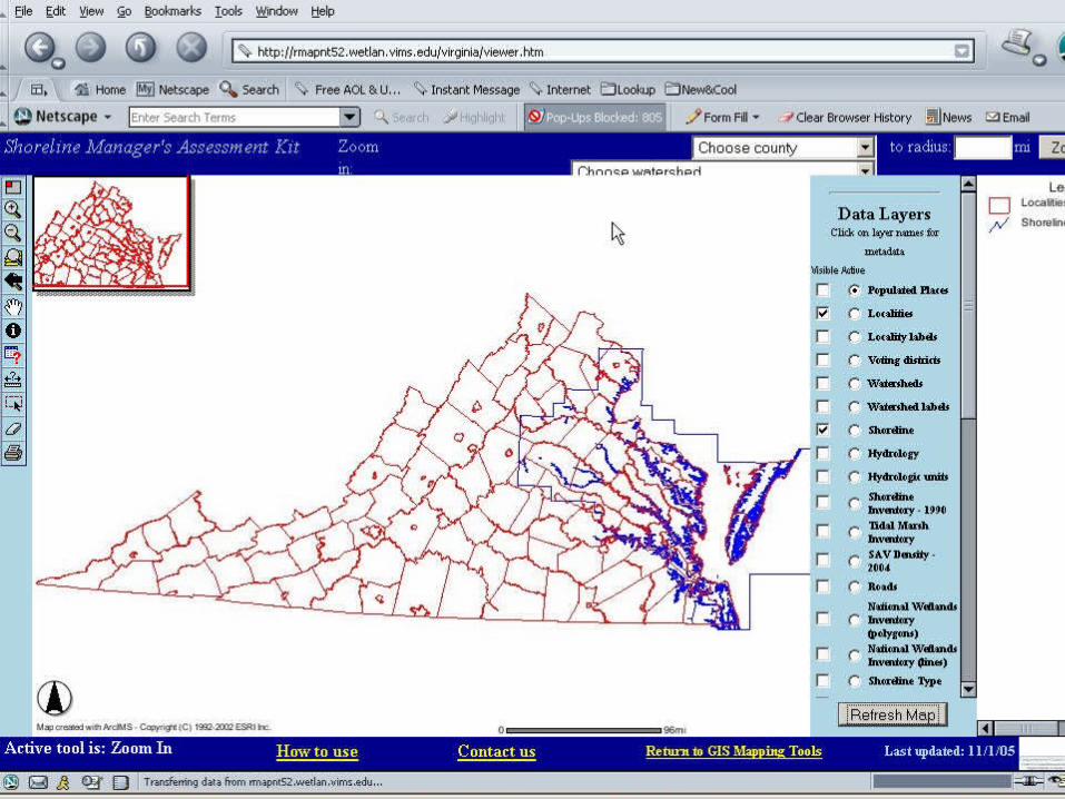
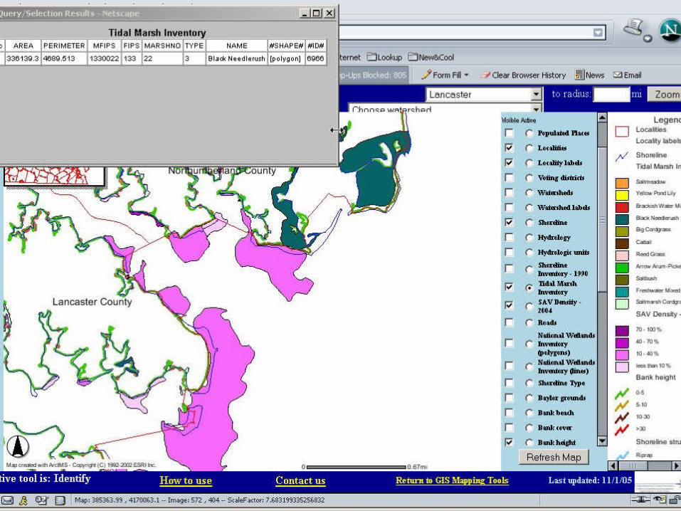
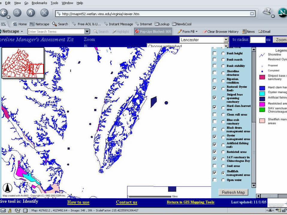
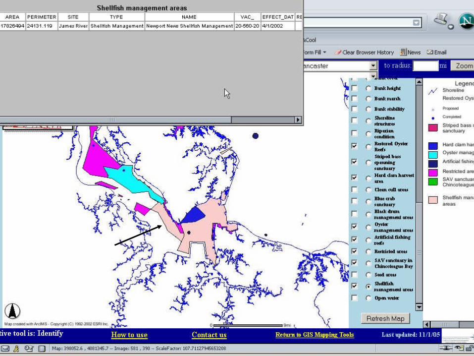
Shoreline Managers Assessment Kit (SMAK)
• ArcIMS® Interactive map application inclusive of – Shoreline inventory– Marine managed areas– Aquatic habitat delineations– State and federal jurisdictional boundaries
• 37 different data layers• VA Tidal Waters
• Intended audience …– VA Marine Resources Commission – Local wetlands boards
Similar Applications
• Blue Infrastructure (29 layers)• OSCAR (Oil Spill Clean-up and Response Tool (28 layers)
• Elizabeth River Atlas (28 layers)
Shoreline Managers Assessment Kit“….. is it an atlas?”
• map information
• attribute information
• reference material
• no summary statistics
….. I think so
Coastal Management Tools
• Chesapeake Bay Shoreline Inventory
• VA Shoreline Manager’s Assessment Kit
• Wetlands Data Viewer
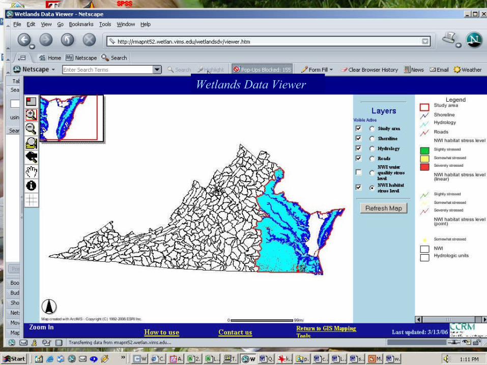
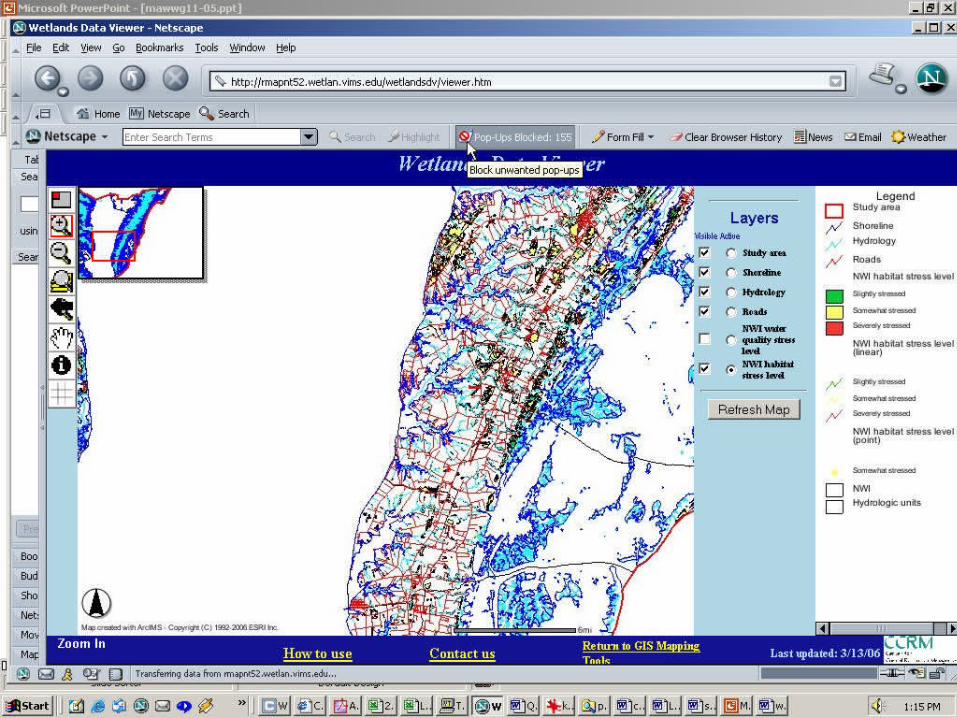
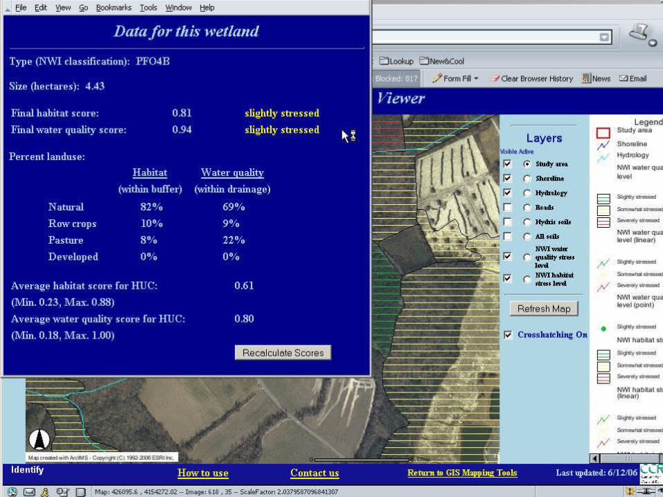
Wetlands Data Viewer
• An ArcIMS interface developed to illustrate “model output” from a nontidal wetlands assessment technique developed by Havens et al. 2005;
• Assessment methodology evaluates stressors as indicators of water quality services or habitat function for every non-tidal emergent wetland in Virginia (n=205,915)
• Intended Audience: – Va DEQ, Non-tidal Wetlands Regulatory Program– State agency review panel
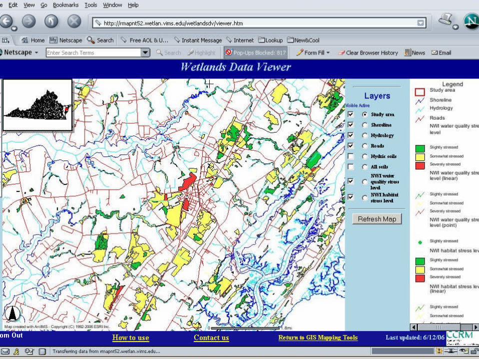
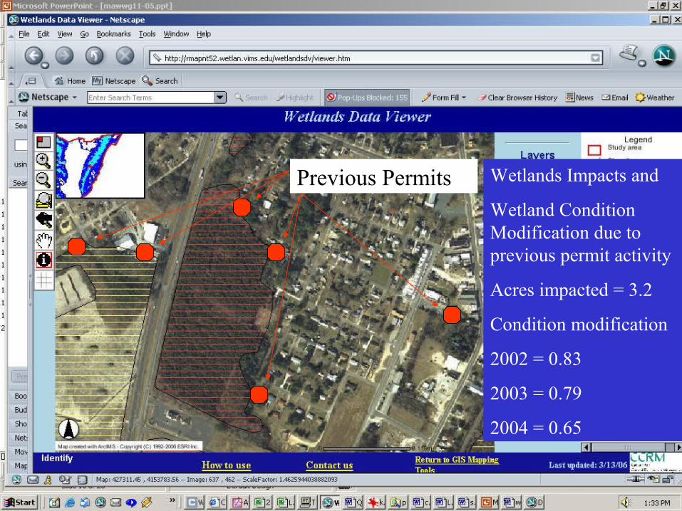
Wetlands Data Viewer
Previous Permits Wetlands Impacts and
Wetland Condition Modification due to previous permit activity
Acres impacted = 3.2
Condition modification
2002 = 0.83
2003 = 0.79
2004 = 0.65
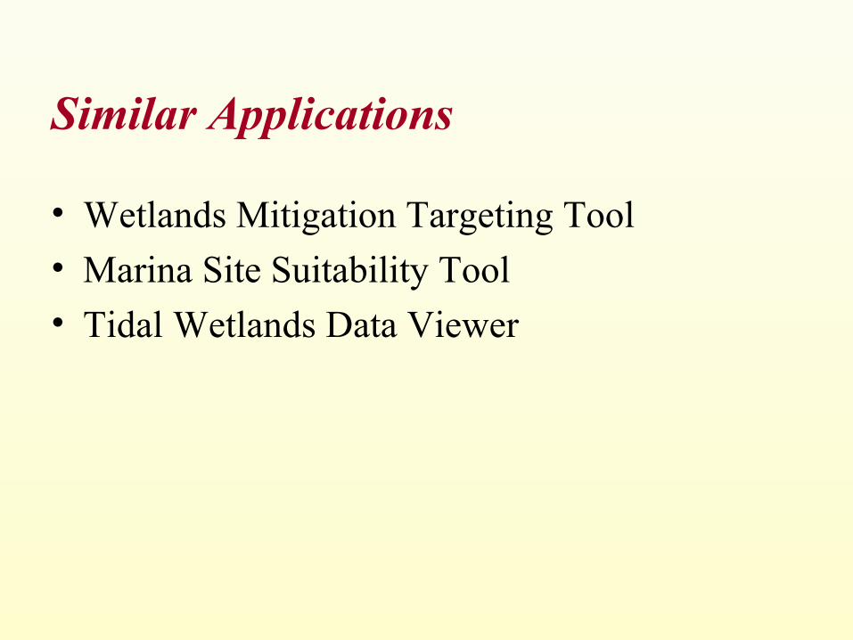
Similar Applications
• Wetlands Mitigation Targeting Tool
• Marina Site Suitability Tool
• Tidal Wetlands Data Viewer
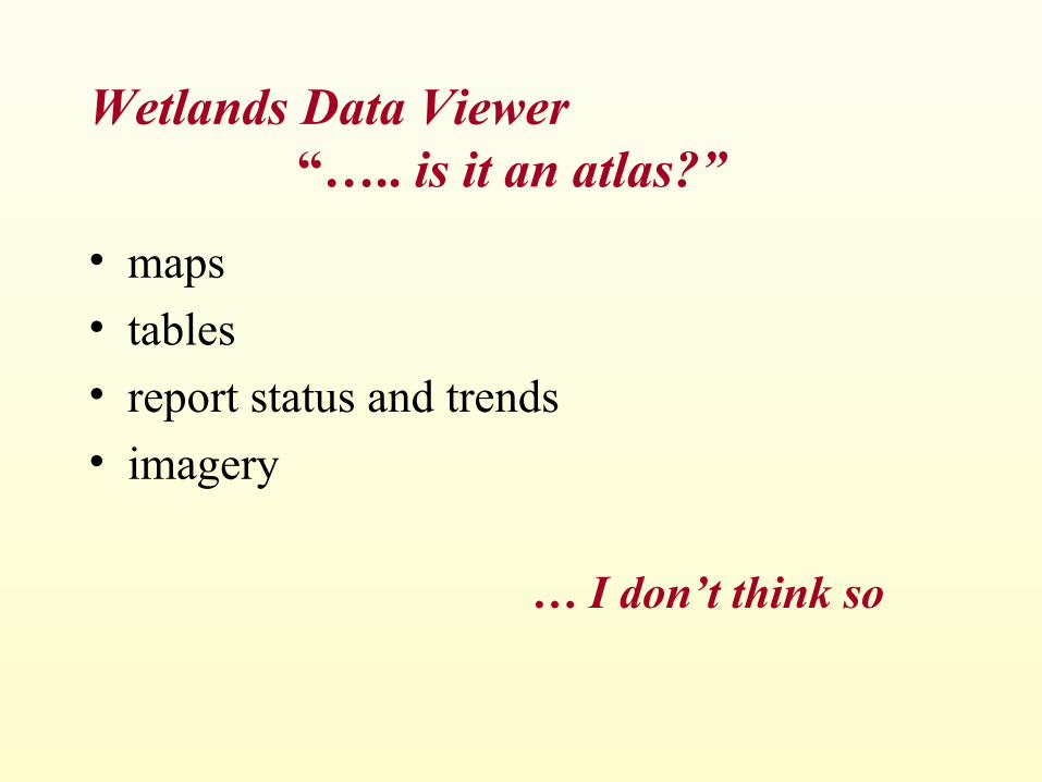
Wetlands Data Viewer “….. is it an atlas?”
• maps
• tables
• report status and trends
• imagery
… I don’t think so
What is an atlas?
1. A book or bound collection of maps, sometimes with supplementary illustrations and graphic analyses
2. A volume of tables, charts, or plates that systematically illustrates a particular subject: an anatomical atlas
3. The top or first cervical vertebra of the neck
4. A person who supports a great burden
Source: Dictionary.com
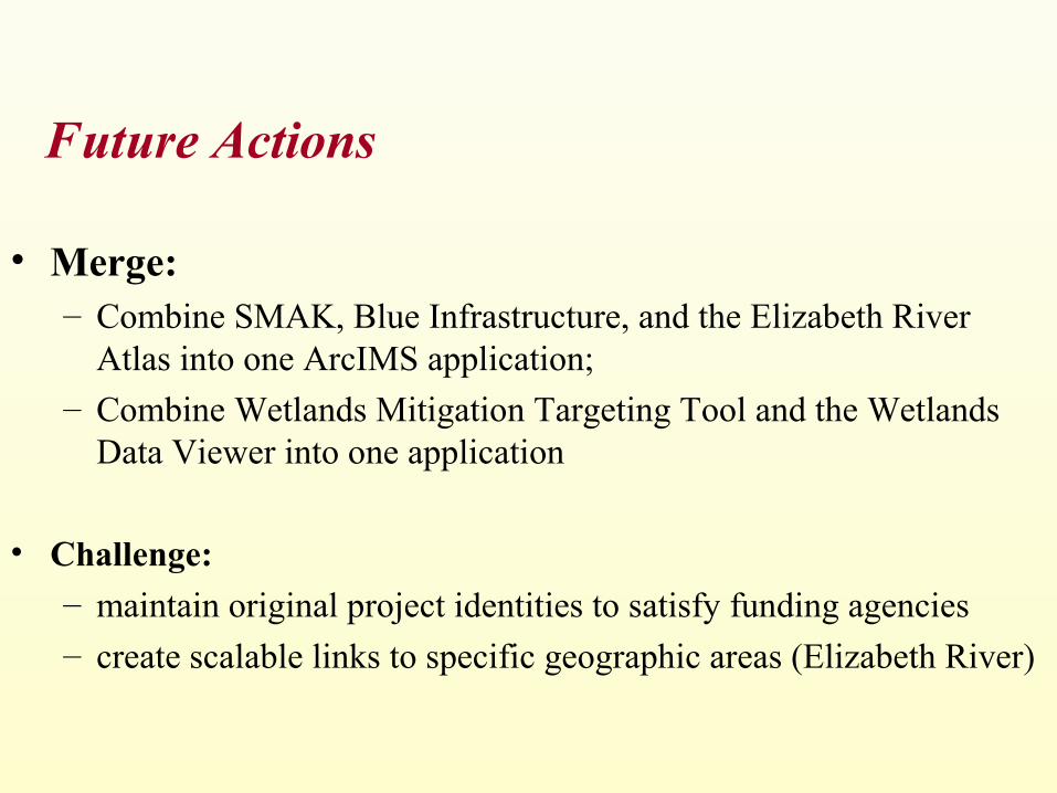
Future Actions
• Merge: – Combine SMAK, Blue Infrastructure, and the Elizabeth River
Atlas into one ArcIMS application;– Combine Wetlands Mitigation Targeting Tool and the Wetlands
Data Viewer into one application
• Challenge: – maintain original project identities to satisfy funding agencies – create scalable links to specific geographic areas (Elizabeth River)
Future Actions• Drill down reports into short messages
accessed through hot links
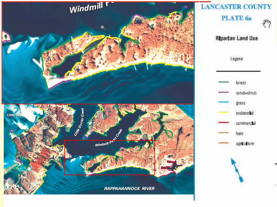
Riparian Land use Forest
Industrial
Residential
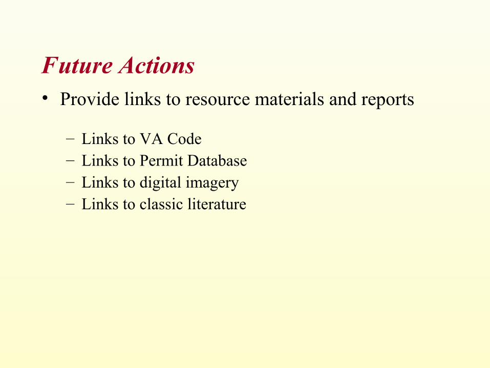
Future Actions• Provide links to resource materials and reports
– Links to VA Code– Links to Permit Database– Links to digital imagery – Links to classic literature