Page 1 | 13 9 September 2020 ASX: GAL Corporate Directory Directors Chairman & MD Brad Underwood Technical Director Noel O’Brien Non-Executive Director Mathew Whyte Projects Fraser Range Project Nickel-Copper Norseman Project Cobalt-Nickel-Copper Contact Details T: +61 8 9463 0063 E: [email protected]W: www.galileomining.com.au 13 Colin St, West Perth, WA DIAMOND DRILLING INTERSECTS NICKEL COPPER SULPHIDE Highlights • Diamond drilling of priority targets at Galileo’s Lantern nickel prospect has intersected significant sulphide mineralisation • 23m of heavily disseminated, blebby and banded nickel-copper sulphides in ultramafic host rock from Lantern South (LARC013D) • 16m of disseminated and blebby sulphide within an overall 108m zone of disseminated sulphide in gabbronorite host rock from Lantern East (LARC008D) • Source of conductive anomaly adjacent to sulphide in LARC008D yet to be identified suggesting potential for additional sulphide mineralisation Galileo Mining Ltd (ASX: GAL, “Galileo” or the “Company”) is pleased to announce that diamond drill holes LARC008D and LARC013D have both intersected significant sulphide mineralisation at the Company’s Lantern Prospect in the Fraser Range Nickel Belt of Western Australia. The occurrence of pyrrhotite-chalcopyrite-pentlandite sulphides within prospective ultramafic and gabbronorite host rocks demonstrates the presence of the mineralising processes required to form magmatic nickel-copper deposits. Figure 1 – Disseminated, blebby and banded sulphide mineralisation in drill hole LARC013D (downhole depth 135 to 138m, HQ core diameter 6.35cm) Banded sulphide Heavily disseminated sulphide For personal use only
Transcript
Page 1 | 13
9 September 2020 ASX: GAL
Corporate Directory Directors Chairman & MD Brad Underwood Technical Director Noel O’Brien Non-Executive Director Mathew Whyte Projects Fraser Range Project Nickel-Copper Norseman Project Cobalt-Nickel-Copper Contact Details
T: +61 8 9463 0063 E: [email protected] W: www.galileomining.com.au 13 Colin St, West Perth, WA
132 155.5 Pyroxenite/gabbronorite with disseminated & blebby, and heavily disseminated sulphides, minor sulphide band
155.5 168.4 Medium to coarse grained leuco-gabbronorite with mafic xenoliths
164.8 210 Medium grained leuco-gabbronorite
For
per
sona
l use
onl
y
Page 5 | 13
Figure 4 – Galileo Prospect Locations in the Fraser Range Nickel Belt
For
per
sona
l use
onl
y
Page 6 | 13
Competent Person Statement
The information in this report that relates to Exploration Results is based on, and fairly represents, information and supporting documentation prepared by Mr Brad Underwood, a Member of the Australasian Institute of Mining and Metallurgy, and a full time employee of Galileo Mining Ltd. Mr Underwood has sufficient experience that is relevant to the styles of mineralisation and types of deposit under consideration, and to the activity being undertaken, to qualify as a Competent Person as defined in the 2012 Edition of the “Australasian Code for Reporting of Exploration Results, Mineral Resources and Ore Reserves” (JORC Code). Mr Underwood consents to the inclusion in the report of the matters based on his information in the form and context in which it appears.
With regard to the Company’s ASX Announcements referenced in the above Announcement, the Company is not aware of any new information or data that materially affects the information included in the Announcements.
Authorised for release by the Galileo Board of Directors. Investor information: phone Galileo Mining on + 61 8 9463 0063 or email [email protected] Media: David Tasker Managing Director Chapter One Advisors E: [email protected] T: +61 433 112 936
About Galileo Mining: Galileo Mining Ltd (ASX: GAL) is focussed on the exploration and development of nickel, copper and cobalt resources in Western Australia. GAL has Joint Ventures with the Creasy Group over tenements in the Fraser Range which are highly prospective for nickel-copper sulphide deposits similar to the operating Nova mine. GAL also holds tenements near Norseman with over 26,000 tonnes of contained cobalt, and 122,000 tonnes of contained nickel, in JORC compliant resources (see Figure 4 below).
Figure 4: JORC Mineral Resource Estimates for the Norseman Cobalt Project (“Estimates”) (refer to ASX “Prospectus” announcement dated May 25th 2018 and ASX announcement dated 11th December 2018, accessible at http://www.galileomining.com.au/investors/asx-announcements/). Galileo confirms that all material assumptions and technical parameters underpinning the Estimates continue to apply and have not materially changed).
LARC013D 132-155.5 Weakly to heavily disseminated and blebby. Minor banded sulphide (subunits below)
Pyrrhotite-chalcopyrite-pentlandite
1-5%
LARC013D 135-141.2 Heavily disseminated
Pyrrhotite-chalcopyrite-pentlandite
5-10%
LARC013D 136.2-136.25 Massive sulphide
Pyrrhotite-chalcopyrite-pentlandite
100%
Sulphide Mode Percent Range (visually estimated)
Weakly disseminated < 1 %
Disseminated & blebby 1 – 5 %
Heavily disseminated 5 – 20 %
Matrix 20 – 40 %
Net textured 20 – 40 %
Semi-massive >40 to < 80 %
Massive >80 %
For
per
sona
l use
onl
y
Page 8 | 13
Appendix 2: Galileo Mining Ltd – Fraser Range Project
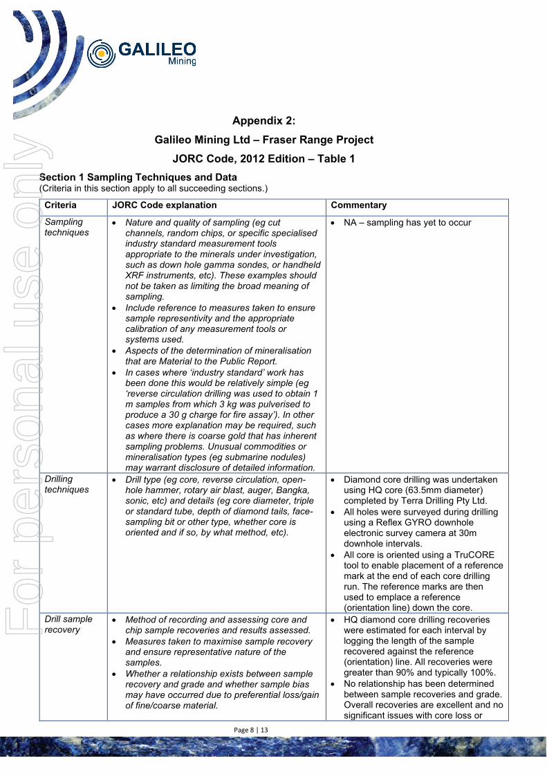
JORC Code, 2012 Edition – Table 1 Section 1 Sampling Techniques and Data (Criteria in this section apply to all succeeding sections.)
Criteria JORC Code explanation Commentary
Sampling techniques
• Nature and quality of sampling (eg cut channels, random chips, or specific specialised industry standard measurement tools appropriate to the minerals under investigation, such as down hole gamma sondes, or handheld XRF instruments, etc). These examples should not be taken as limiting the broad meaning of sampling.
• Include reference to measures taken to ensure sample representivity and the appropriate calibration of any measurement tools or systems used.
• Aspects of the determination of mineralisation that are Material to the Public Report.
• In cases where ‘industry standard’ work has been done this would be relatively simple (eg ‘reverse circulation drilling was used to obtain 1 m samples from which 3 kg was pulverised to produce a 30 g charge for fire assay’). In other cases more explanation may be required, such as where there is coarse gold that has inherent sampling problems. Unusual commodities or mineralisation types (eg submarine nodules) may warrant disclosure of detailed information.
• NA – sampling has yet to occur
Drilling techniques
• Drill type (eg core, reverse circulation, open-hole hammer, rotary air blast, auger, Bangka, sonic, etc) and details (eg core diameter, triple or standard tube, depth of diamond tails, face-sampling bit or other type, whether core is oriented and if so, by what method, etc).
• Diamond core drilling was undertaken using HQ core (63.5mm diameter) completed by Terra Drilling Pty Ltd.
• All holes were surveyed during drilling using a Reflex GYRO downhole electronic survey camera at 30m downhole intervals.
• All core is oriented using a TruCORE tool to enable placement of a reference mark at the end of each core drilling run. The reference marks are then used to emplace a reference (orientation line) down the core.
Drill sample recovery
• Method of recording and assessing core and chip sample recoveries and results assessed.
• Measures taken to maximise sample recovery and ensure representative nature of the samples.
• Whether a relationship exists between sample recovery and grade and whether sample bias may have occurred due to preferential loss/gain of fine/coarse material.
• HQ diamond core drilling recoveries were estimated for each interval by logging the length of the sample recovered against the reference (orientation) line. All recoveries were greater than 90% and typically 100%.
• No relationship has been determined between sample recoveries and grade. Overall recoveries are excellent and no significant issues with core loss or
For
per
sona
l use
onl
y
Page 9 | 13
Criteria JORC Code explanation Commentary
sample bias are recognised. Logging • Whether core and chip samples have been
geologically and geotechnically logged to a level of detail to support appropriate Mineral Resource estimation, mining studies and metallurgical studies.
• Whether logging is qualitative or quantitative in nature. Core (or costean, channel, etc) photography.
• The total length and percentage of the relevant intersections logged.
• Geological logging of drill holes included lithology, grainsize, mineralogy, colour and weathering
• Logging of the drill core is qualitative and based on the in-situ presentation of the core sample with down-hole depths measured against the reference (orientation) line.
• All drill holes were logged in their entirety
Sub-sampling techniques and sample preparation
• If core, whether cut or sawn and whether quarter, half or all core taken.
• If non-core, whether riffled, tube sampled, rotary split, etc and whether sampled wet or dry.
• For all sample types, the nature, quality and appropriateness of the sample preparation technique.
• Quality control procedures adopted for all sub-sampling stages to maximise representivity of samples.
• Measures taken to ensure that the sampling is representative of the in situ material collected, including for instance results for field duplicate/second-half sampling.
• Whether sample sizes are appropriate to the grain size of the material being sampled.
• NA – sampling has yet to occur
Quality of assay data and laboratory tests
• The nature, quality and appropriateness of the assaying and laboratory procedures used and whether the technique is considered partial or total.
• For geophysical tools, spectrometers, handheld XRF instruments, etc, the parameters used in determining the analysis including instrument make and model, reading times, calibrations factors applied and their derivation, etc.
• Nature of quality control procedures adopted (eg standards, blanks, duplicates, external laboratory checks) and whether acceptable levels of accuracy (ie lack of bias) and precision have been established.
• NA – sampling has yet to occur
Verification of sampling and assaying
• The verification of significant intersections by either independent or alternative company personnel.
• The use of twinned holes. • Documentation of primary data, data entry
procedures, data verification, data storage (physical and electronic) protocols.
• Discuss any adjustment to assay data.
• Field data was collected on site using a standard set of logging templates entered directly into a laptop. Data was then sent to the Galileo database manager for validation and upload into the database.
Location of data points
• Accuracy and quality of surveys used to locate drill holes (collar and down-hole surveys), trenches, mine workings and other locations used in Mineral Resource estimation.
• Drill hole collars are surveyed with a handheld GPS with an accuracy of +/-5m which is considered sufficient for drill hole location accuracy.
For
per
sona
l use
onl
y
Page 10 | 13
Criteria JORC Code explanation Commentary
• Specification of the grid system used. • Quality and adequacy of topographic control.
• Co-ordinates are in GDA94 datum, Zone 51.
• Downhole depths are in metres from surface.
• Topographic control has an accuracy of 2m based on detailed satellite imagery derived DTM or on laser altimeter data collected from aeromagnetic surveys
Data spacing and distribution
• Data spacing for reporting of Exploration Results.
• Whether the data spacing and distribution is sufficient to establish the degree of geological and grade continuity appropriate for the Mineral Resource and Ore Reserve estimation procedure(s) and classifications applied.
• Whether sample compositing has been applied.
• Drill hole spacing for the individual drill holes was not grid based. The holes were placed to target potential mineralisation as indicated by geophysical methods (EM), previous RC drilling, and geological interpretation.
• Drill spacing is insufficient for the purposes of Mineral Resource estimation.
Orientation of data in relation to geological structure
• Whether the orientation of sampling achieves unbiased sampling of possible structures and the extent to which this is known, considering the deposit type.
• If the relationship between the drilling orientation and the orientation of key mineralised structures is considered to have introduced a sampling bias, this should be assessed and reported if material.
• It is unknown whether the orientation of sampling achieves unbiased sampling as interpretation of quantitative measurements of mineralised zones/structures has not yet been completed.
• The drilling is oriented either perpendicular to the regional lithological strike and dip or perpendicular to the modelled EM conductor.
• Geological logging intercepts are reported as down hole length, true width unknown.
Sample security
• The measures taken to ensure sample security. • NA – sampling has yet to occur.
Audits or reviews
• The results of any audits or reviews of sampling techniques and data.
• Continuous improvement internal reviews of sampling techniques and procedures are ongoing. No external audits have been performed.
Section 2 Reporting of Exploration Results (Criteria listed in the preceding section also apply to this section.)
Criteria JORC Code explanation Commentary
Mineral tenement and land tenure status
• Type, reference name/number, location and ownership including agreements or material issues with third parties such as joint ventures, partnerships, overriding royalties, native title interests, historical sites, wilderness or national park and environmental settings.
• The security of the tenure held at
• The Fraser Range Project comprises six granted exploration licenses, covering 602km2
the time of reporting along with any known impediments to obtaining a licence to operate in the area.
are wholly owned subsidiaries of Galileo Mining Ltd. • Great Southern Nickel Pty Ltd and Dunstan
Holdings Pty Ltd are entities of Mark Creasy • The Kitchener Area is approximately 250km east of
Kalgoorlie on vacant crown land and on the Boonderoo Pastoral Station.
• The Yardilla Area is approximately 90km east of Norseman on vacant crown land and on the Fraser Range Pastoral Station.
• Both the Kitchener Area and the Yardilla Area are 100% covered by the Ngadju Native Title Determined Claim.
• The tenements are in good standing and there are no known impediments.
Exploration done by other parties
• Acknowledgment and appraisal of exploration by other parties.
• NA
Geology • Deposit type, geological setting and style of mineralisation.
• The target geology is indicative of magmatic nickel-copper sulphide mineralisation hosted in or associated with mafic-ultramafic intrusions within the Fraser Complex of the Albany-Fraser Orogeny.
• The underlying unweathered lithology is granulite facies metamorphosed and partially retrogressed sedimentary, mafic and ultramafic igneous rocks as determined by petrographic work.
Drill hole Information
• A summary of all information material to the understanding of the exploration results including a tabulation of the following information for all Material drill holes: o easting and northing of the drill
hole collar o elevation or RL (Reduced Level
– elevation above sea level in metres) of the drill hole collar
o dip and azimuth of the hole o down hole length and
interception depth o hole length.
• If the exclusion of this information is justified on the basis that the information is not Material and this exclusion does not detract from the understanding of the report, the Competent Person should clearly explain why this is the case.
• Refer to drill hole collar reporting table in the body of this report
Data aggregation methods
• In reporting Exploration Results, weighting averaging techniques, maximum and/or minimum grade truncations (eg cutting of high grades) and cut-off grades are usually Material and should be
• NA – sampling has yet to occur
For
per
sona
l use
onl
y
Page 12 | 13
Criteria JORC Code explanation Commentary
stated. • Where aggregate intercepts
incorporate short lengths of high grade results and longer lengths of low grade results, the procedure used for such aggregation should be stated and some typical examples of such aggregations should be shown in detail.
• The assumptions used for any reporting of metal equivalent values should be clearly stated.
Relationship between mineralisation widths and intercept lengths
• These relationships are particularly important in the reporting of Exploration Results.
• If the geometry of the mineralisation with respect to the drill hole angle is known, its nature should be reported.
• If it is not known and only the down hole lengths are reported, there should be a clear statement to this effect (eg ‘down hole length, true width not known’).
• NA – assays not reported • The drilling is oriented perpendicular to the regional
lithological strike and dip or perpendicular to the modelled EM conductor
• Geological logging is reported as down hole length, true width unknown.
Diagrams • Appropriate maps and sections (with scales) and tabulations of intercepts should be included for any discovery being reported These should include, but not be limited to a plan view of drill hole collar locations and appropriate sectional views.
• Project location map and plan map of the drill hole locations with respect to each other and with respect to other available data.
• Drill hole locations have been determined with hand-held GPS drill hole collar location (Garmin GPS 78s) +/- 5m in X/Y/Z dimensions
Balanced reporting
• Where comprehensive reporting of all Exploration Results is not practicable, representative reporting of both low and high grades and/or widths should be practiced to avoid misleading reporting of Exploration Results.
• All available relevant information is presented.
Other substantive exploration data
• Other exploration data, if meaningful and material, should be reported including (but not limited to): geological observations; geophysical survey results; geochemical survey results; bulk samples – size and method of treatment; metallurgical test results; bulk density, groundwater, geotechnical and rock characteristics; potential deleterious or contaminating substances.
• Detailed 50m line spaced aeromagnetic data has been used for interpretation of underlying geology. Data was collected using a Geometrics G-823 Caesium vapor magnetometer at an average flying height of 30m.
• Modelling and interpretation of MLEM and FLEM geophysical data was undertaken by Spinifex Gpx Pty Ltd and Geopotential Pty Ltd.
• Modelling and interpretation of ground based MLEM geophysical data was undertaken by Spinifex Gpx Pty Ltd, Geopotential Pty Ltd and Terra Resources Pty Ltd.
• All MLEM and FLEM geophysical interpretations were completed independently to provide models to assist drill targeting.
For
per
sona
l use
onl
y
Page 13 | 13
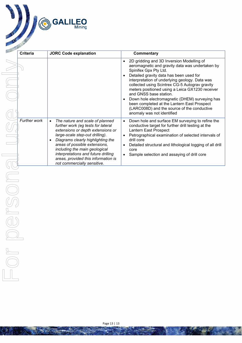
Criteria JORC Code explanation Commentary
• 2D gridding and 3D Inversion Modelling of aeromagnetic and gravity data was undertaken by Spinifex Gpx Pty Ltd.
• Detailed gravity data has been used for interpretation of underlying geology. Data was collected using Scintrex CG-5 Autograv gravity meters positioned using a Leica GX1230 receiver and GNSS base station.
• Down hole electromagnetic (DHEM) surveying has been completed at the Lantern East Prospect (LARC008D) and the source of the conductive anomaly was not identified
Further work • The nature and scale of planned further work (eg tests for lateral extensions or depth extensions or large-scale step-out drilling).
• Diagrams clearly highlighting the areas of possible extensions, including the main geological interpretations and future drilling areas, provided this information is not commercially sensitive.
• Down hole and surface EM surveying to refine the conductive target for further drill testing at the Lantern East Prospect
• Petrographical examination of selected intervals of drill core
• Detailed structural and lithological logging of all drill core