A Sense of Where We Are: Geographic Information Science and Systems Geographic Information Science and Systems IDT Roundtable K‐State Union 212 Mar 25, 2010 11:00 a.m. to 12:30 p.m. Presented by: Eric Bernard, LARCP, Chair GIScience Commons Rick Chubb, GIScience Commons Shiva Mohandass, GIScience Commons
Transcript
A Sense of Where We Are: Geographic Information Science and SystemsGeographic Information Science and Systems
Thanks to Waldseemüller, Columbus, Vespucci, Ptolemy and many others… Note: Martin Waldseemüller generated this map "A drawing of the whole earth following the tradition of Ptolemy and
…since 1507 we are in America
Note: Martin Waldseemüller generated this map A drawing of the whole earth following the tradition of Ptolemy and the travels of Amerigo Vespucci and others” and is the first map to call our continent the Americas. See it at the Library of Congress.
How did Powell, Lewis and Clark know where they were or h th i ?where they were going?
John Wesley Powell Source: http://lcweb2.loc.gov/service/pnp/cph/3a00000/3a07000/3a07300/3a07308r.jpg
Lewis and Clark Source: http://www.loc.gov/pictures/item/2001699652/resource/cph.3a19565/?sid=8824213d30cf00d7384267b37626d723
How did those who first came to this landscape of the Flint Hills know where they were going?
Demo of Google Earth: HaitiDemo of Google Earth: Haiti
Demo of ESRI GeoViewer Population Estimation
Weather, Rivers and Streams,http://www.crh.noaa.gov/top/
what is required to get the q gwhere, when, and potential
damage of a flood?damage of a flood?
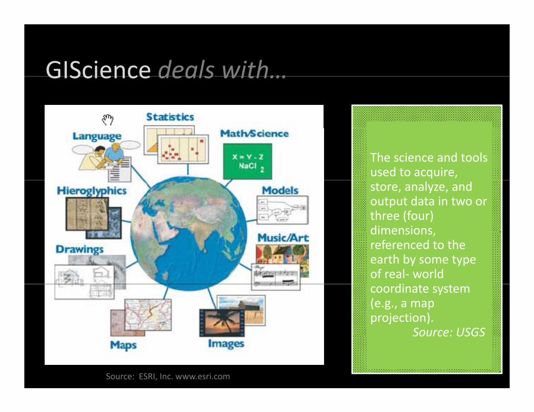
GIScience deals with…GIScience deals with…
The science and tools used to acquire, store, analyze, and output data in two or three (four) dimensionsdimensions, referenced to the earth by some type of real‐ world
dicoordinate system (e.g., a map projection).
Source: USGS
Source: ESRI, Inc. www.esri.com
Source: USGS
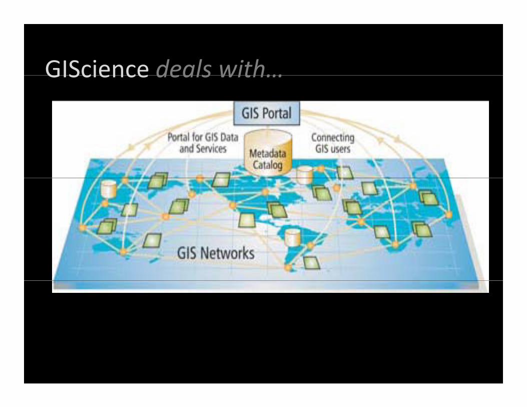
GIScience deals with…GIScience deals with…
Source: ESRI, Inc. www.esri.com
GIScience deals with…GIScience deals with…
GeoVisualization=Metaphors of RealityMetaphors of Reality
GIScience Commons Assistancei k t t d i i@k dwww.gis.k‐state.edu or [email protected]
Research Assistance GIS and Spatial Analysis Lab ‐ GISSAL Lab in GeographyGIS and Spatial Analysis Lab GISSAL Lab in Geographyhttp://www.k‐state.edu/geography/research/gissal.html
Internet Mapping Assistance www.gis.k‐state.edu
See K‐State GIScience Commons Web Mapping Examples at: http://www.gis.ksu.edu/index.php?page=Resources/Online%20Mapping


![Processing Data Where It Makes Sense: Enabling In-Memory ... · arXiv:1903.03988v1 [cs.AR] 10 Mar 2019 Processing Data Where It Makes Sense: Enabling In-Memory Computation Onur Mutlua,b,](https://static.documents.pub/doc/80x56/5f0e04cf7e708231d43d3761/processing-data-where-it-makes-sense-enabling-in-memory-arxiv190303988v1.jpg)


