Access to Cloud Raster Data Using GDAL, MRF and LERC Peng Gao, Peter Becker, Thomas Maurer, Abhijit Doshi, Lucian Plesea Esri, 380 New York Street, Redlands, CA 92373 [email protected]IN52A-04, 2015 AGU Fall Meeting
Transcript
Access to Cloud Raster Data Using GDAL, MRF and LERC
Peng Gao, Peter Becker, Thomas Maurer, Abhijit Doshi, Lucian Plesea Esri, 380 New York Street, Redlands, CA 92373
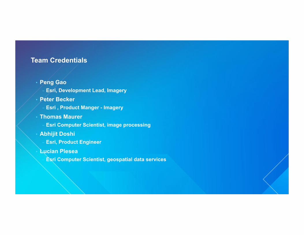
• Thomas Maurer - Esri Computer Scientist, image processing
• Abhijit Doshi - Esri, Product Engineer
• Lucian Plesea - Esri Computer Scientist, geospatial data services
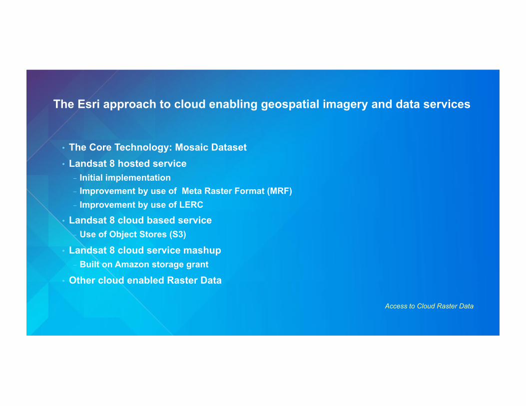
The Esri approach to cloud enabling geospatial imagery and data services
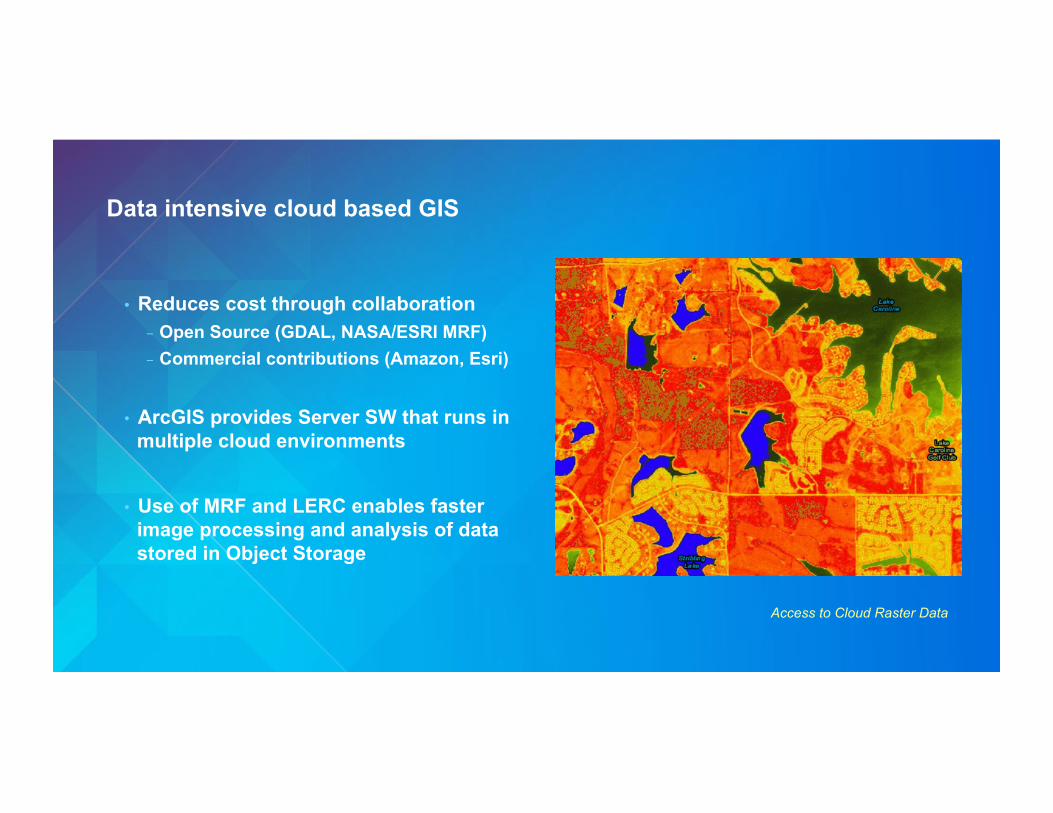
Access to Cloud Raster Data
• The Core Technology: Mosaic Dataset • Landsat 8 hosted service
- Initial implementation - Improvement by use of Meta Raster Format (MRF) - Improvement by use of LERC
• Landsat 8 cloud based service - Use of Object Stores (S3)
• Landsat 8 cloud service mashup - Built on Amazon storage grant
• Other cloud enabled Raster Data
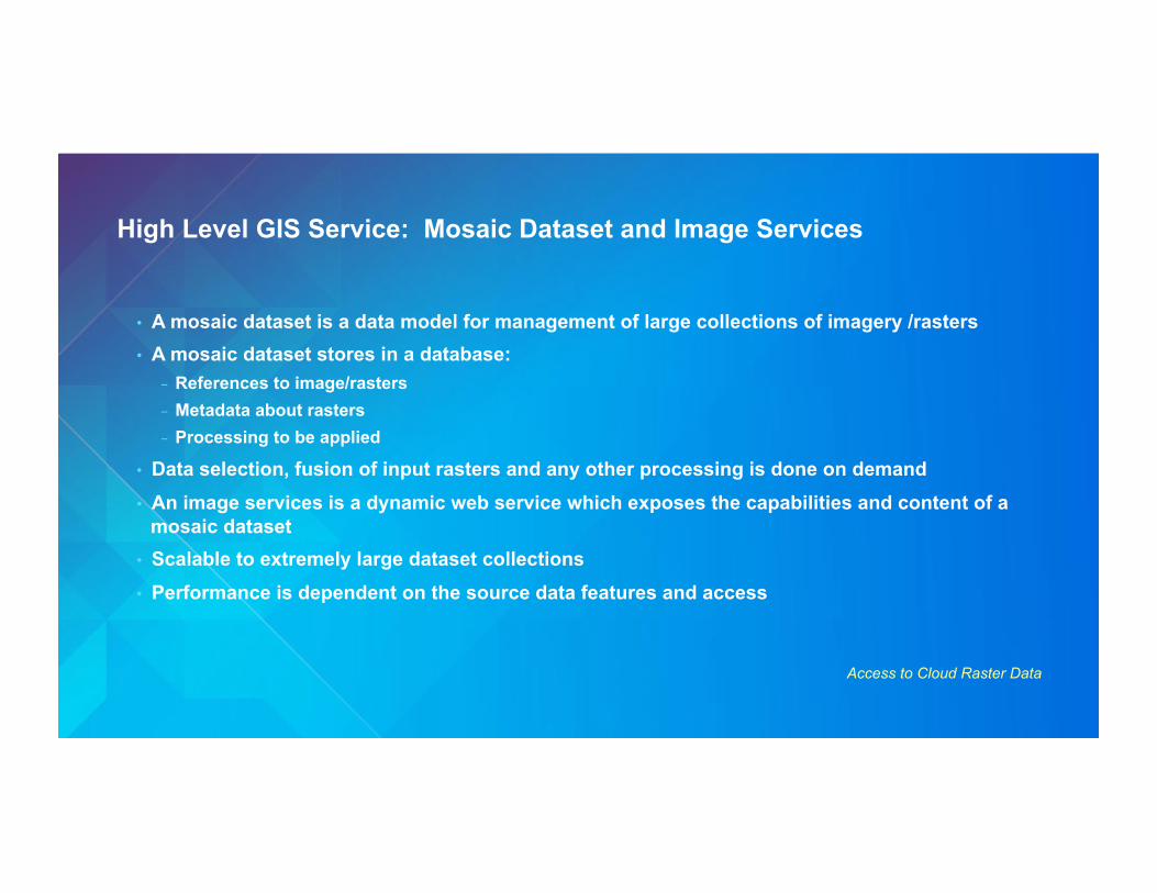
High Level GIS Service: Mosaic Dataset and Image Services
Access to Cloud Raster Data
• A mosaic dataset is a data model for management of large collections of imagery /rasters • A mosaic dataset stores in a database:
- References to image/rasters - Metadata about rasters - Processing to be applied
• Data selection, fusion of input rasters and any other processing is done on demand • An image services is a dynamic web service which exposes the capabilities and content of a
mosaic dataset • Scalable to extremely large dataset collections • Performance is dependent on the source data features and access
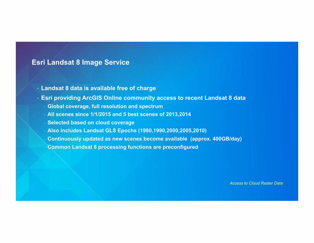
Esri Landsat 8 Image Service
Access to Cloud Raster Data
• Landsat 8 data is available free of charge • Esri providing ArcGIS Online community access to recent Landsat 8 data
- Global coverage, full resolution and spectrum - All scenes since 1/1/2015 and 5 best scenes of 2013,2014 - Selected based on cloud coverage - Also includes Landsat GLS Epochs (1980,1990,2000,2005,2010) - Continuously updated as new scenes become available (approx. 400GB/day) - Common Landsat 8 processing functions are preconfigured
Optimizing the Response Time
Access to Cloud Raster Data
• The initial implementation performance was lacking - About eight second average response time - Input format had significant latencies and read inefficiencies - Access to data on shared storage contributes to the delay - Web hosting with significant storage is not common and pricy
• Possible areas of improvement - Transcode the data into a format with faster access - Reduce the number of IO operations to slow storage
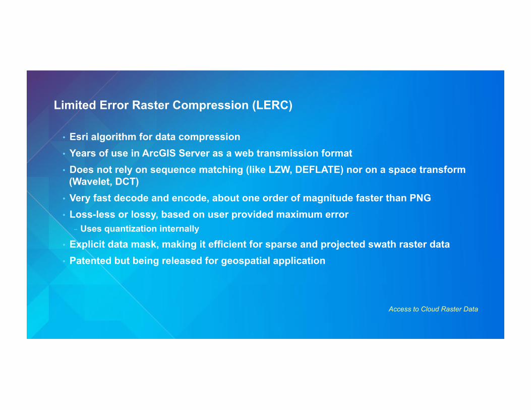
Limited Error Raster Compression (LERC)
Access to Cloud Raster Data
• Esri algorithm for data compression • Years of use in ArcGIS Server as a web transmission format • Does not rely on sequence matching (like LZW, DEFLATE) nor on a space transform
(Wavelet, DCT) • Very fast decode and encode, about one order of magnitude faster than PNG • Loss-less or lossy, based on user provided maximum error
- Uses quantization internally
• Explicit data mask, making it efficient for sparse and projected swath raster data • Patented but being released for geospatial application
Meta Raster Format (MRF)
Access to Cloud Raster Data
•! Raster format originated at JPL, for large raster datasets and web server tile -!Open source GDAL driver -!Abstracts tiling and pyramid organization -!Various tile (subraster) compression formats -!Separate and simple metadata, index and raster data
components (files)
•! The ability to located the different components on different classes of storage makes it a valuable technology for cloud GIS
• Customized ArcGIS Server that includes MRF+LERC • Splitting MRF between ephemeral and EBS doubles the access speed vs. TIFF • Using LERC compression doubles the access speed again vs. DEFLATE • Average request latency reduced from eight to two seconds
- Performance is very close to directly connected storage - Acceptable for interactive applications
• Added pre-processing - Trans-coding of data from downloaded TIF to MRF - Had to be implemented on SSD to achieve reasonable performance
• This implementation became public
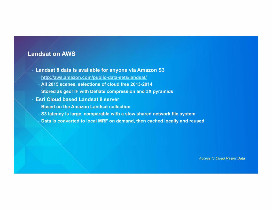
Landsat on AWS
Access to Cloud Raster Data
• Landsat 8 data is available for anyone via Amazon S3 - http://aws.amazon.com/public-data-sets/landsat/ - All 2015 scenes, selections of cloud free 2013-2014 - Stored as geoTIF with Deflate compression and 3X pyramids
• Esri Cloud based Landsat 8 server - Based on the Amazon Landsat collection - S3 latency is large, comparable with a slow shared network file system - Data is converted to local MRF on demand, then cached locally and reused
Esri Landsat 8 Service: Mash-up
Access to Cloud Raster Data
• http://www.esri.com/landsatonaws • Fully cloud based, on AWS and S3 • Enabling technology is MRF with LERC
compression, from S3 object store • Response times are in the 3-4 seconds
initially, dropping to 1-2 seconds for repeated access
• Easy to scale out since no local data is required initially
Other Esri cloud raster services: NAIP
Access to Cloud Raster Data
• USDA National Agriculture Imagery Program - A primary goal of the NAIP program is to make digital ortho-photography available to
governmental agencies and the public within a year of acquisition - Each state mosaic is redone every three years
• Esri is collaborating with USDA to help achieve the timely release goal - Service available on ArcGIS OnLine - Updated at the same time as new NAIP data is released - DOQs are converted to MRF and LERC - A Mosaic Dataset allows access to the whole NAIP collection