21
Anguilla’s Road to TsunamiReady Department of Disaster Management, Anguilla 14 April 2016 Susan Hodge, Programme Officer
Anguilla’s Road to TsunamiReady
Department of Disaster Management, Anguilla
14 April 2016
Susan Hodge, Programme Officer

What is TsunamiReady?
Since June 20, 2001, the National Weather Service (NWS) of the National
Ocean and Atmospheric Administration (NOAA) has been implementing
the recognition program, TsunamiReadyTM . This program has helped
community leaders and emergency managers strengthen their local
operations. As of August, 2011 almost 100 coastal communities have been
recognized by the National Weather Service as TsunamiReady . These
communities are recognized as being better prepared to save lives through
better planning, education and awareness. Communities have fewer
fatalities and property damage if they plan before a tsunami arrives. No
community is tsunami proof, but TsunamiReady can help minimize loss to
your community.
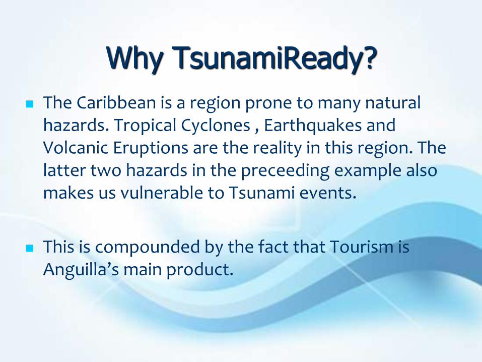
Why TsunamiReady?
The Caribbean is a region prone to many natural hazards. Tropical Cyclones , Earthquakes and Volcanic Eruptions are the reality in this region. The latter two hazards in the preceeding example also makes us vulnerable to Tsunami events.
This is compounded by the fact that Tourism is Anguilla’s main product.
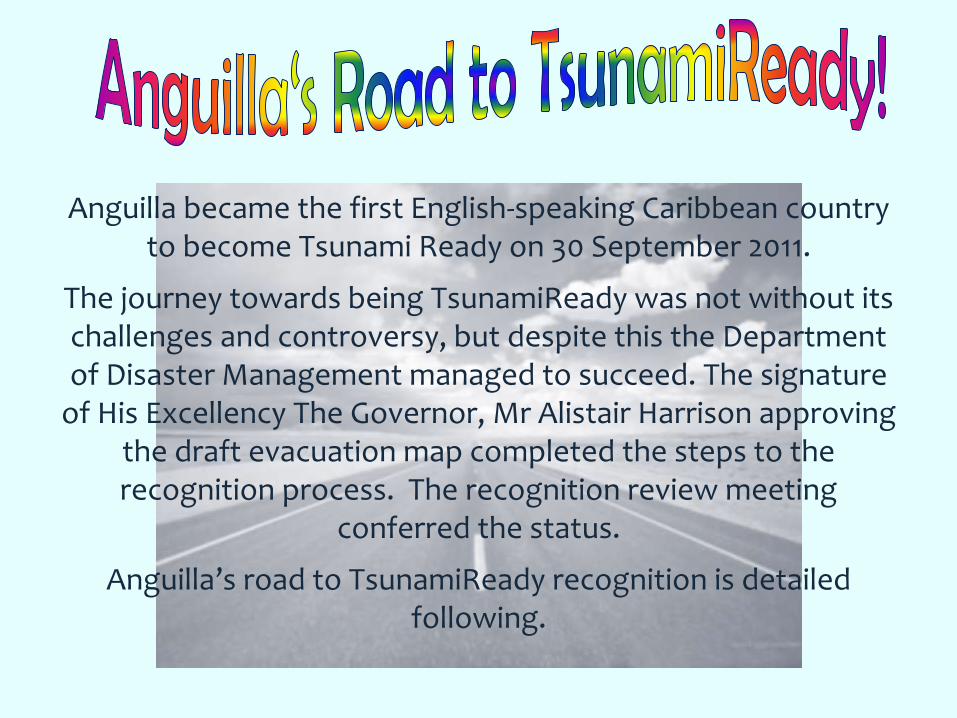
Anguilla became the first English-speaking Caribbean country to become Tsunami Ready on 30 September 2011.
The journey towards being TsunamiReady was not without its challenges and controversy, but despite this the Department of Disaster Management managed to succeed. The signature
of His Excellency The Governor, Mr Alistair Harrison approving the draft evacuation map completed the steps to the recognition process. The recognition review meeting
conferred the status.
Anguilla’s road to TsunamiReady recognition is detailed following.
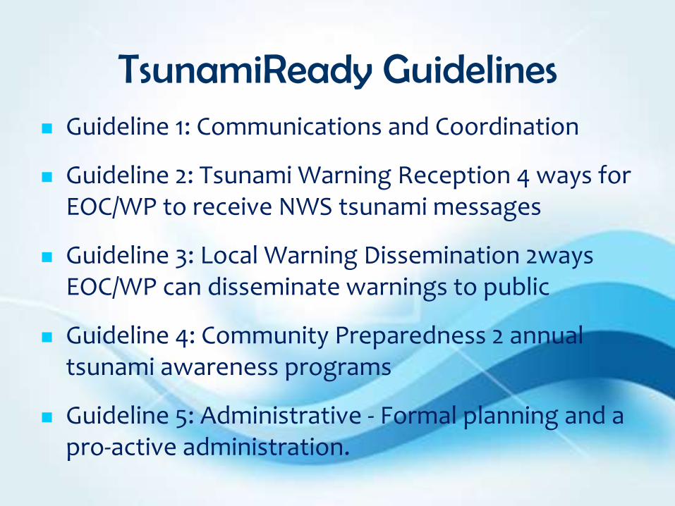
TsunamiReady Guidelines Guideline 1: Communications and Coordination
Guideline 2: Tsunami Warning Reception 4 ways for EOC/WP to receive NWS tsunami messages
Guideline 3: Local Warning Dissemination 2ways EOC/WP can disseminate warnings to public
Guideline 4: Community Preparedness 2 annual tsunami awareness programs
Guideline 5: Administrative - Formal planning and a pro-active administration.

The First Wave The Anguilla Warning System with various ways of alerting and informing
the public employs a multitude of technological means including but not limited to:
BAMBox – Internet based pop up
RDS Warning Receiver – Similar to a clock radio
FM Radio Interruption – interrupts the radio broadcast to provide emergency information.
The Anguilla warning system is based on an all hazard warning system with a Common Alerting Protocol or (CAP), as it is commonly called, backbone. The CAP protocol allows all the pieces of the Anguilla Warning System to communicate and work together. So that one warning can activate many different alerting systems, quickly and simultaneously. It is the backbone of the technologies that make up the Anguilla Warning System.
Steps 1 and 2 were fulfilled in this wave.

The Anguilla Warning System
The Anguilla Warning System is a Common Alert Protocol (CAP) based public alert system.

Tsunamis and the AWS
A Tsunami threat elicits a Level III response of the AWS.
In a Level III event all notification methods are activated at their highest priorities.
Depending on the estimated time to impact the Tsunami Warning Focal Point can activate this Level III alert according to Anguilla’s Draft Tsunami Protocol with a simple push of a switch
The Second Wave
Centralised Warning Point
The Royal Anguilla Police Force Headquarters is manned 24 hours a day 7 days a week, it was therefore a natural fit to establish as Anguilla’s tsunami warning Focal point.
The relevant equipment (Fax, Emwin, Telephone, e-mail) is installed and all police officers likely or unlikely to be in the area when a warning is received have been trained as to what to do.
The building also hosts the National Emergency Operations Centre when activated.
All located within the safe area of the evacuation map.
Step 3 was completed in this wave.

The Tsunami Warning Focal Point
Anguilla’s TWFP is Police Dispatch as it is one of the few 24hr Government agencies.
One requirement of the TsunamiReady programme was that the country have multiple means of receiving tsunami alert information which can be disseminated to the public.
EMWIN
- Fax
- Telephone
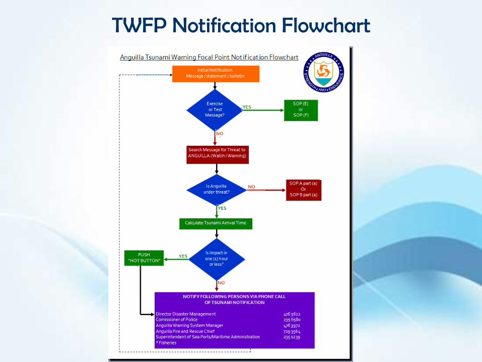
TWFP Notification Flowchart
Anguilla Tsunami Warning Focal Point Notification Flowchart
Initial Notification. Message / statement / bulletin
Exercise or Test
Message?
Search Message for Threat to ANGUILLA (Watch / Warning)
Is Anguilla under threat?
Calculate Tsunami Arrival Time
PUSH “HOT BUTTON”
NOTIFY FOLLOWING PERSONS VIA PHONE CALL OF TSUNAMI NOTIFICATION
Director Disaster Management 476 3622 Comissioner of Police 235 6580 Anguilla Warning System Manager 476 3972 Anguilla Fire and Rescue Chief 729 3564 Superintendent of Sea Ports/Maritime Administration 235 1239 * Fisheries
YES
YES
YES
NO
NO
NO
SOP (E) or
SOP (F)
SOP A part (a) Or
SOP B part (a)
Is impact in one (1) hour
or less?
The Third Wave
Tsunami Protocol
Tsunami plan in the event of a tsunamis was developed using the protocol outline provided by CDEMA.
The building also hosts the National Emergency Operations Centre when activated.
Staff of the DDM, RAPF, Fire Service, Ports were all asked to take and pass an online tsunami community warning and public awareness course.
Step 4 was completed in this wave

The Fourth Wave Tsunami Hazard Zones
The process of developing an evacuation map that would show where persons had the highest likelihood of surviving a tsunami using the international rule of thumb of a 100ft or 30m wave impacting Anguilla and coming in approximately 1 mile inland in the absence of bathymetry data to do tsunamis modelling. This was a challenge for an island whose widest point is 3 miles wide.
Painstaking research was done by the DDM staff to maximize the number of signs able to be erected at that time. 4 Assembly Point signs; 4 evacuation route signs; and 6 tsunami hazard zone signs were finally arrived at.
Key stakeholder meetings with agencies such as Tourism and MICUH. Landowners were contacted for permission to mount the signs and they were placed.
Step 5 was completed in this wave.

Tsunami Signs
Another requirement was for the provision of signs across the island clearly identifying Tsunami Hazard Zones, Evacuation Routes and Tsunami Evacuation Sites.

Tsunami Inundation Map
One of the primary requirements of being TsunamiReady was the provision of a Tsunami Inundation map.
Anguilla’s Draft map was prepared with the help of NOAA and in the absence of bathymetry data it was prepared with the rule of thumb of a 100ft wave height and one mile inland inundation.

Resulting Inundation Map
The Final Wave Community Tsunami Awareness
A plan or protocol is only as good as the person(s) who know what’s in it. The
DDM started a rigorous community awareness campaign focused on tsunami.
A presentation to Executive Council and the local media was made.
A Hazard and Tsunami Awareness presentation was developed and a series of 12 community meetings were organized. This is on-going.
The CaribeWave exercise took place in March 2011 in the Island Harbour community of Anguilla and now continues islandwide annually.
All tsunami awareness done in 2011 was part of the recognition process
The TsunamiReady recognition process was completed in this wave.

TsunamiReady Public Education
DDM, RAPF and DITES officers Comet Tsunami Community Preparedness Course
Town Hall Meetings
Community Meetings
Daily Tsunami Tips on Radio (31)
Televised community tsunami presentation
Educational sensitisation sessions for teachers
Individual sessions with schools in TEZ
Tsunami Leaflet with map

TsunamiReady Public Education

Recognition
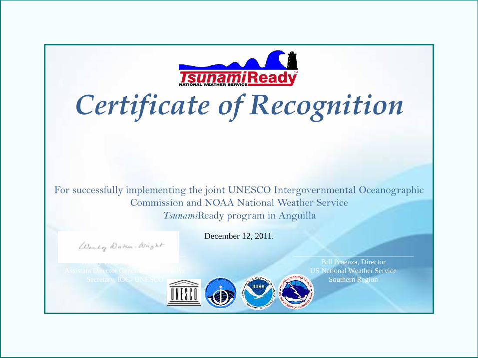
Certificate of Recognition
HE Alistair Harrison Governor of Anguilla
For successfully implementing the joint UNESCO Intergovernmental Oceanographic
Commission and NOAA National Weather Service
TsunamiReady program in Anguilla
December 12, 2011.
_________________________________
Wendy Watson-Wright, Ph.D.
Assistant Director General and Executive
Secretary, IOC- UNESCO
_________________________________
Bill Proenza, Director
US National Weather Service
Southern Region


