24
APES Test Review The Earth Chapter 1
| Date post: | 27-Dec-2015 |
| Category: |
Documents |
| Upload: | samantha-james |
| View: | 217 times |
| Download: | 1 times |

APES Test Review
The Earth Chapter 1
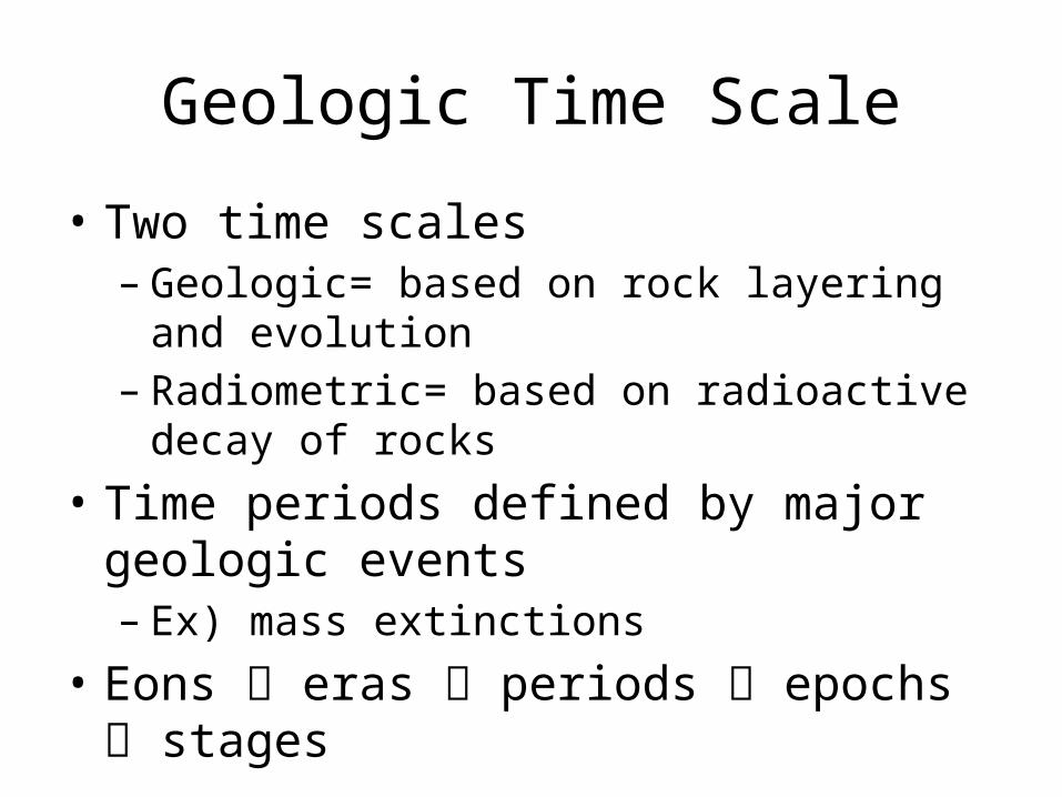
Geologic Time Scale
• Two time scales– Geologic= based on rock layering and evolution– Radiometric= based on radioactive decay of rocks
• Time periods defined by major geologic events– Ex) mass extinctions
• Eons eras periods epochs stages
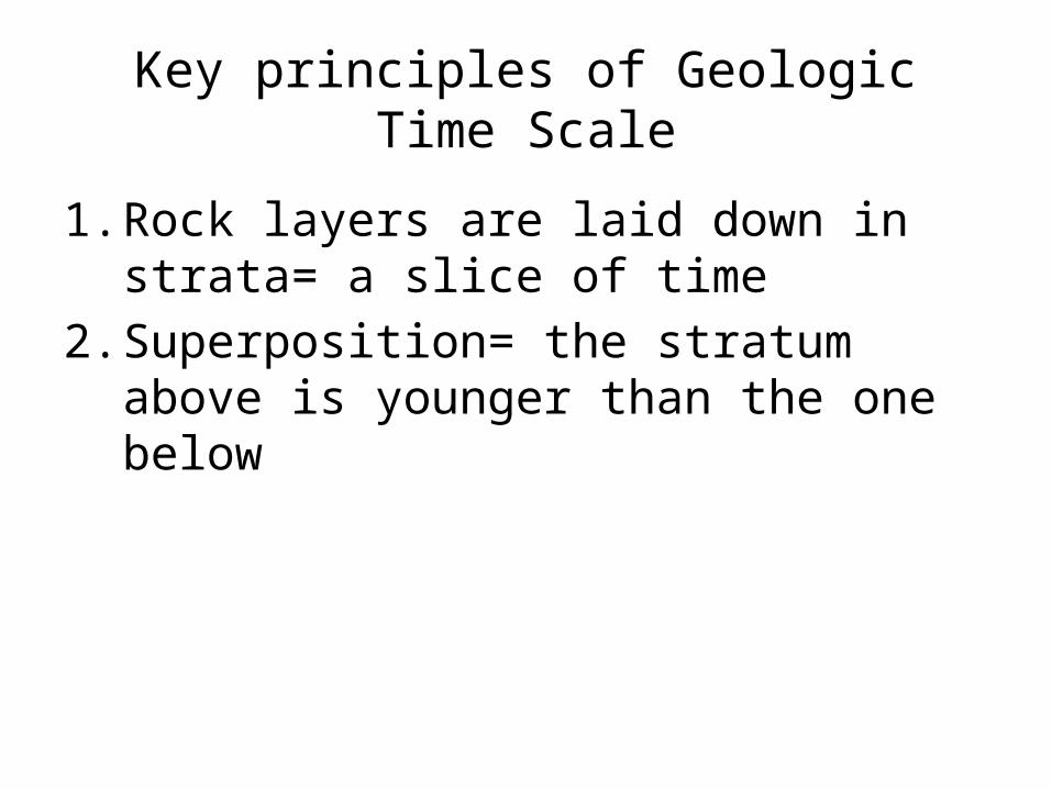
Key principles of Geologic Time Scale
1. Rock layers are laid down in strata= a slice of time
2. Superposition= the stratum above is younger than the one below

Complications of the Geo Time Scale
1. Strata is often eroded, distorted, tilted, or inverted
2. Strata from same time has different appearance
3. Only part of earth’s history from that time
Earth’s Structure
• Earth formed 4.6 bil years ago• 3rd planet from the sun• Earth– Biosphere– Hydrosphere– Internal structure
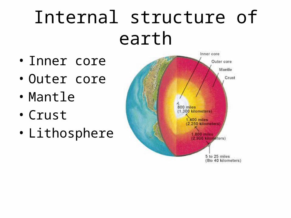
Internal structure of earth
• Inner core• Outer core• Mantle • Crust• Lithosphere
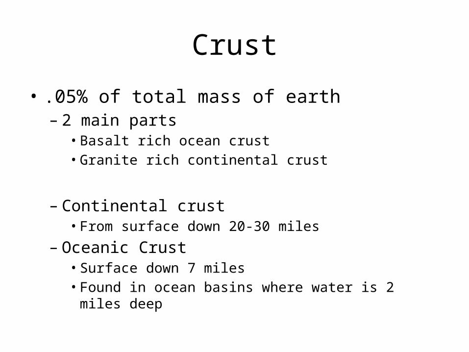
Crust
• .05% of total mass of earth– 2 main parts• Basalt rich ocean crust• Granite rich continental crust
– Continental crust• From surface down 20-30 miles
– Oceanic Crust• Surface down 7 miles• Found in ocean basins where water is 2 miles deep
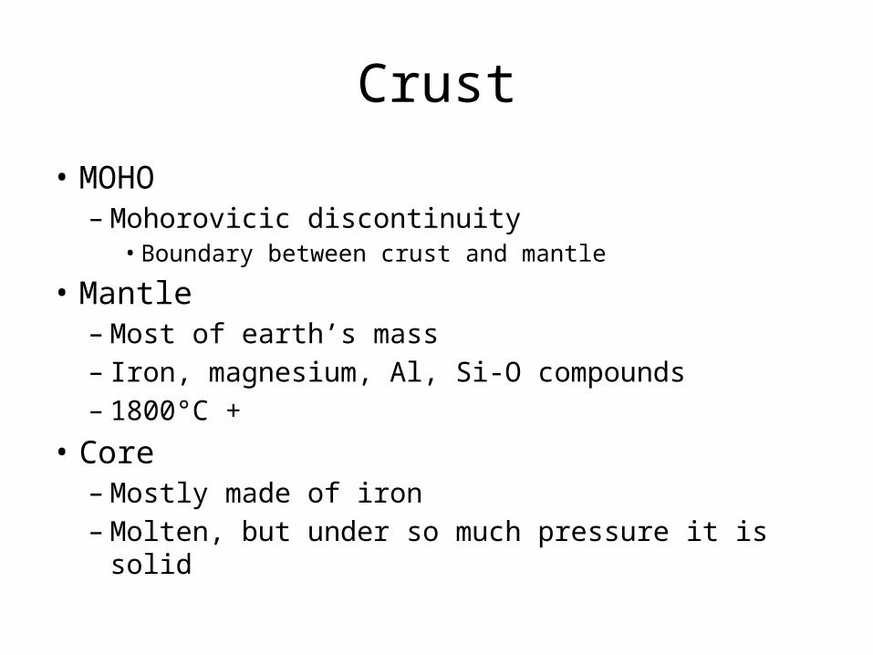
Crust
• MOHO– Mohorovicic discontinuity
• Boundary between crust and mantle
• Mantle– Most of earth’s mass– Iron, magnesium, Al, Si-O compounds– 1800°C +
• Core– Mostly made of iron– Molten, but under so much pressure it is solid
Plate Tectonics
• Rose from two observations– Continental drift• 1915 Alfred Wegner • Pangaea started to break 200 mya• Factors: biogeography, glacial landscapes in non-tundra,
puzzle piece continents, similar rocks
– Seafloor spreading• 1960’s magnetic properties of seafloor rock noticed• Moving away from ridge on floor rocks got older
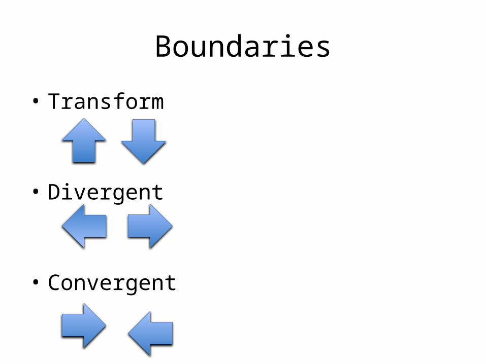
Boundaries
• Transform
• Divergent
• Convergent
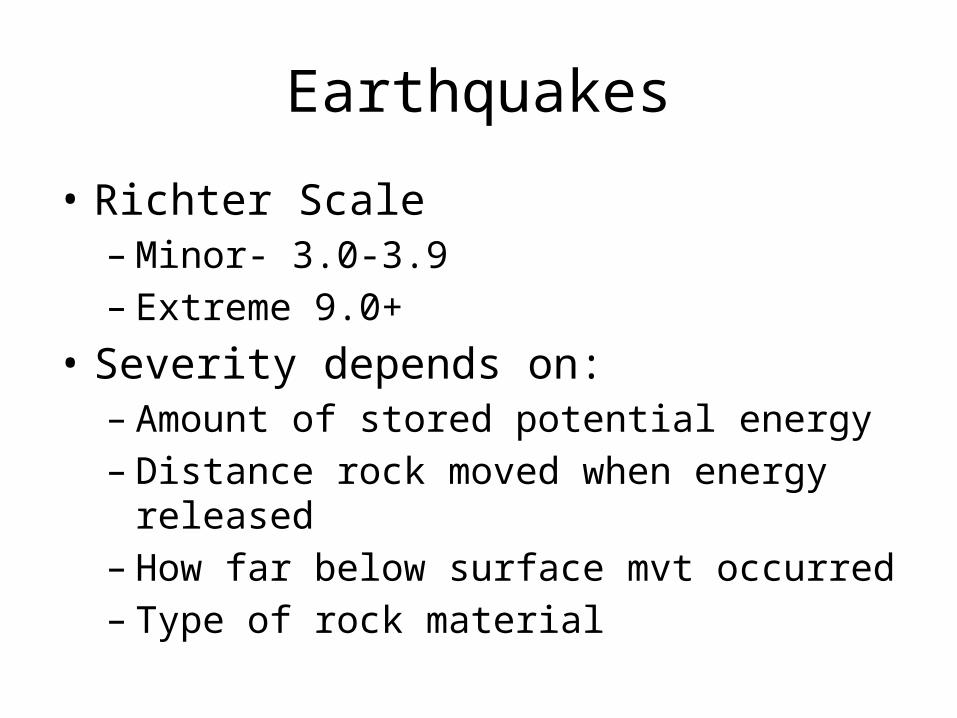
Earthquakes
• Richter Scale– Minor- 3.0-3.9– Extreme 9.0+
• Severity depends on:– Amount of stored potential energy– Distance rock moved when energy released– How far below surface mvt occurred– Type of rock material
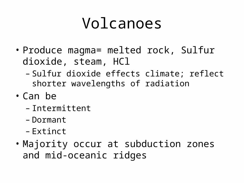
Volcanoes
• Produce magma= melted rock, Sulfur dioxide, steam, HCl– Sulfur dioxide effects climate; reflect shorter
wavelengths of radiation • Can be – Intermittent– Dormant– Extinct
• Majority occur at subduction zones and mid-oceanic ridges
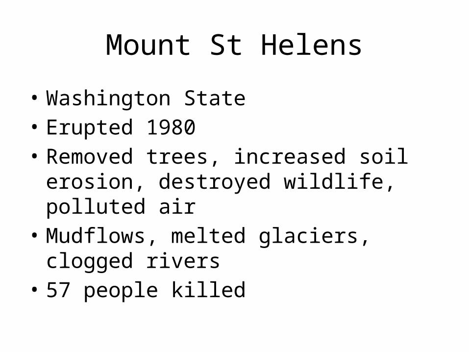
Mount St Helens
• Washington State• Erupted 1980• Removed trees, increased soil erosion,
destroyed wildlife, polluted air• Mudflows, melted glaciers, clogged rivers• 57 people killed
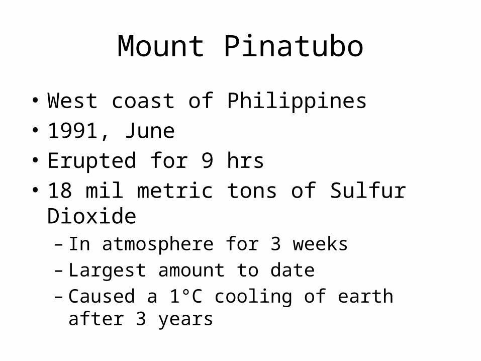
Mount Pinatubo
• West coast of Philippines• 1991, June• Erupted for 9 hrs• 18 mil metric tons of Sulfur Dioxide– In atmosphere for 3 weeks– Largest amount to date– Caused a 1°C cooling of earth after 3 years
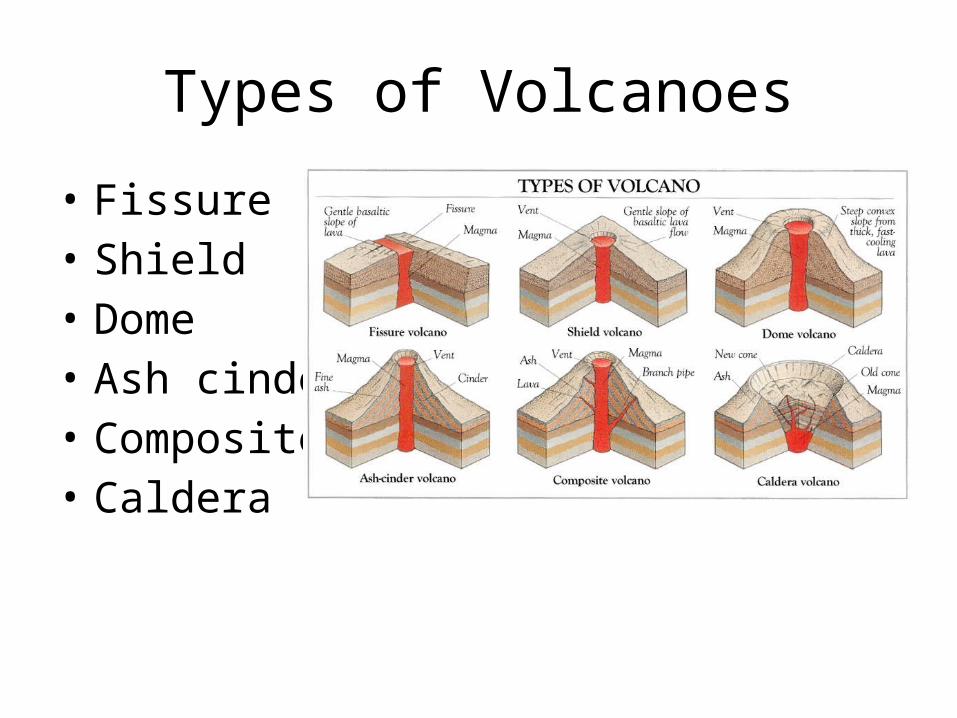
Types of Volcanoes
• Fissure• Shield• Dome• Ash cinder• Composite• Caldera

Seasons, solar intensity, latitude
• Factors that effect amount of solar energy– Earth’s rotation (24 hrs)– Revolution (365 days)– Tilt of axis 23.5°– Atmospheric conditions
• Earth is closest in Jan each yr• Farthest away in july– Seasons are not caused by distance from the sun
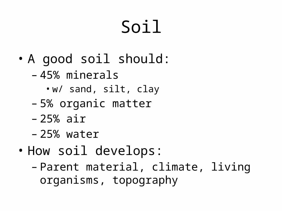
Soil
• A good soil should:– 45% minerals • w/ sand, silt, clay
– 5% organic matter– 25% air– 25% water
• How soil develops:– Parent material, climate, living organisms,
topography
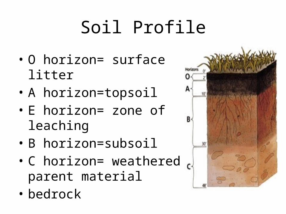
Soil Profile
• O horizon= surface litter• A horizon=topsoil• E horizon= zone of leaching• B horizon=subsoil• C horizon= weathered parent
material• bedrock
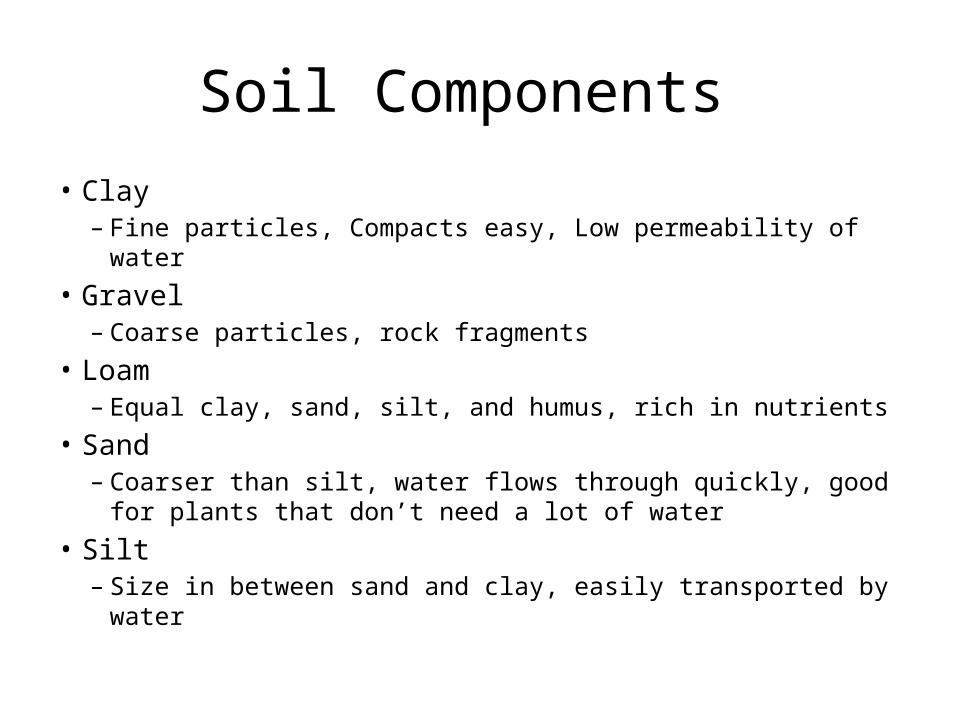
Soil Components
• Clay– Fine particles, Compacts easy, Low permeability of water
• Gravel– Coarse particles, rock fragments
• Loam– Equal clay, sand, silt, and humus, rich in nutrients
• Sand– Coarser than silt, water flows through quickly, good for plants
that don’t need a lot of water• Silt
– Size in between sand and clay, easily transported by water
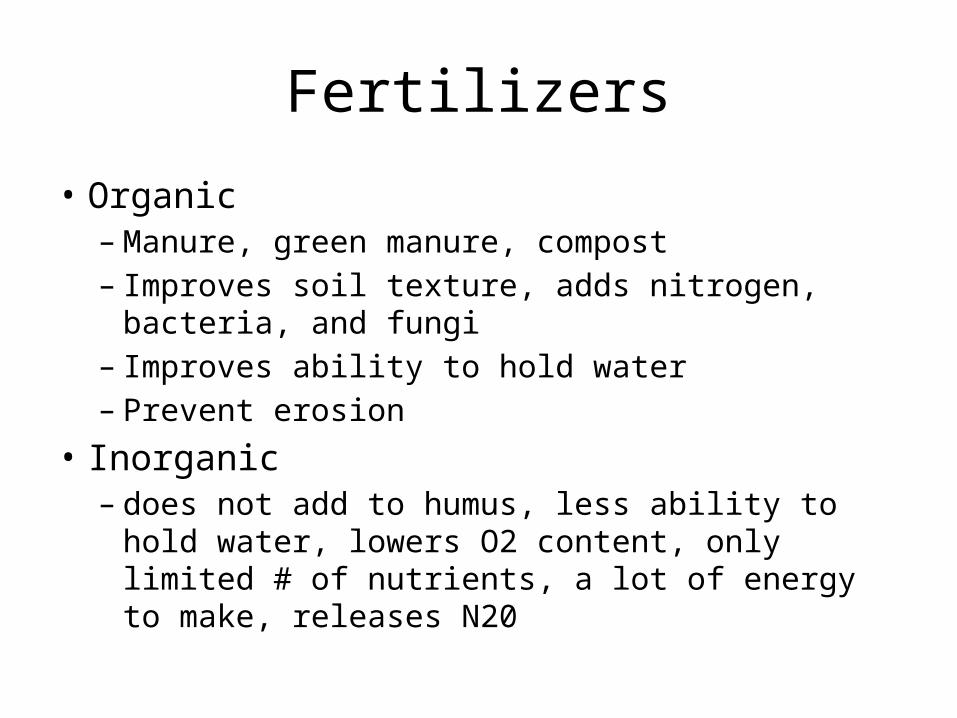
Fertilizers
• Organic– Manure, green manure, compost– Improves soil texture, adds nitrogen, bacteria, and
fungi– Improves ability to hold water– Prevent erosion
• Inorganic – does not add to humus, less ability to hold water,
lowers O2 content, only limited # of nutrients, a lot of energy to make, releases N20
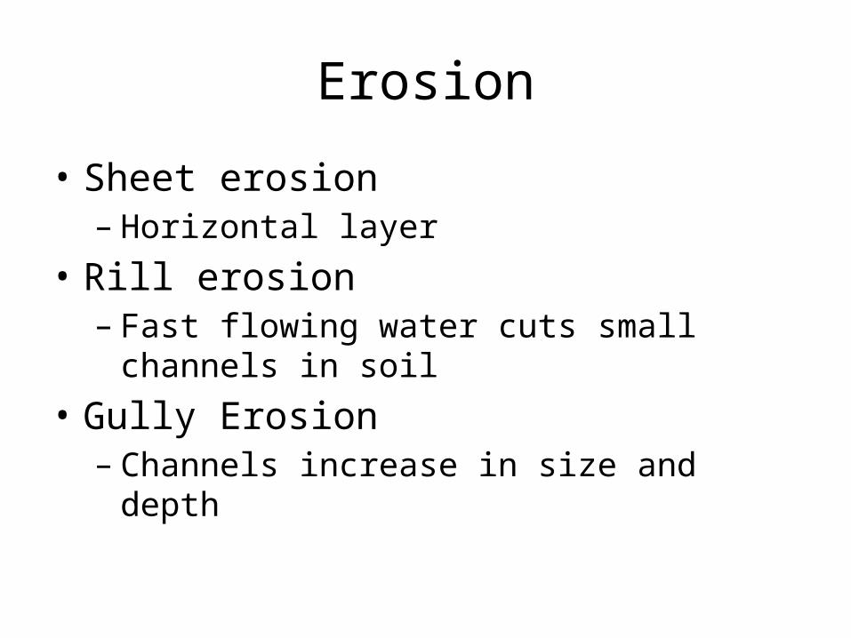
Erosion
• Sheet erosion– Horizontal layer
• Rill erosion– Fast flowing water cuts small channels in soil
• Gully Erosion– Channels increase in size and depth
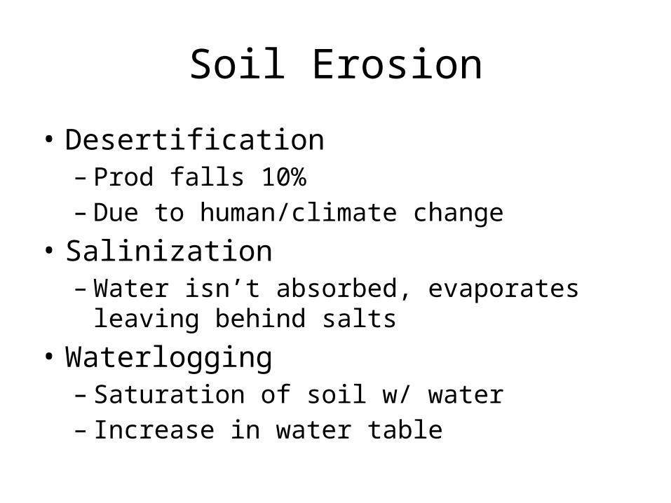
Soil Erosion
• Desertification– Prod falls 10%– Due to human/climate change
• Salinization– Water isn’t absorbed, evaporates leaving behind
salts• Waterlogging– Saturation of soil w/ water – Increase in water table
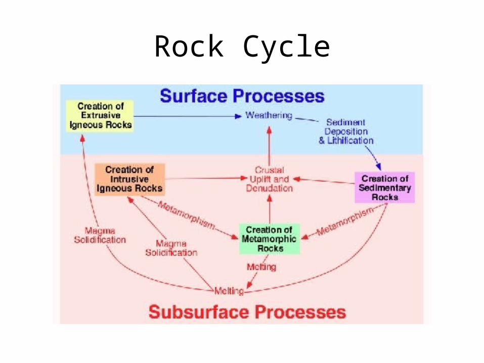
Rock Cycle


