48
ArcGIS Online New Jersey State Agency GIS Users Meeting October 3, 2012

ArcGIS Online
New Jersey State AgencyGIS Users Meeting
October 3, 2012

Introductions
• Andy Rowan• Sean McGinnis

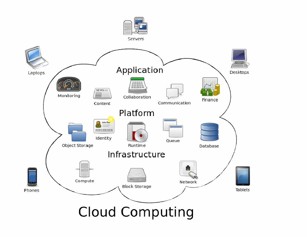
What is the Cloud?
Cloud computing is the use of computing resources (hardware and software) that are delivered as a service over a network, typically the internet

What isn’t the Cloud?
A Silver Bullet• Data Management• User Management• Data Display

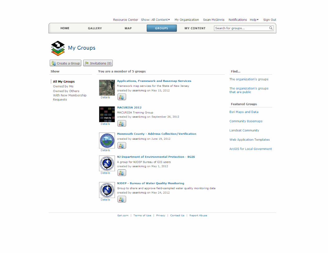
ArcGIS Online - GIS as a Service
Web Map
Groups
Users
Catalogue


User Roles
1. User2. Publisher3. Administrator
• Create web maps• Share web maps• Participate in groups
1. User2. Publisher3. Administrator
A

User Roles
1. User2. Publisher3. Administrator
• User’s privileges• Publish hosted feature services• Create cached map services
A
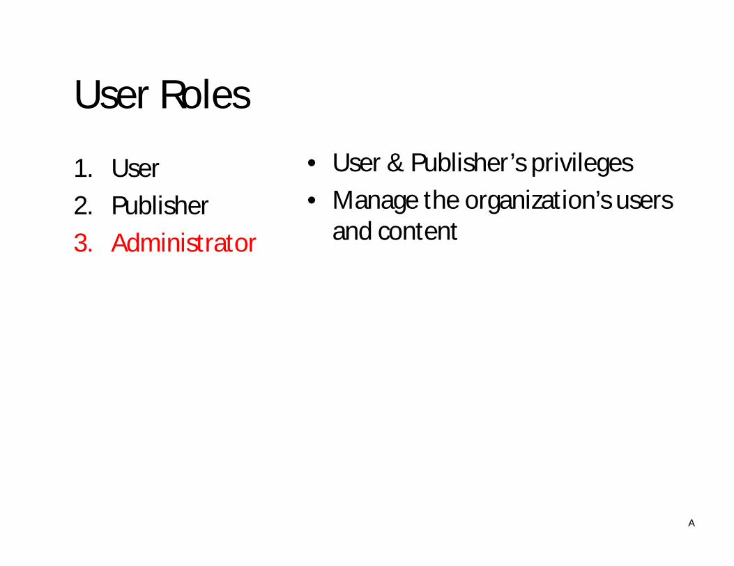
User Roles
1. User2. Publisher3. Administrator
• User & Publisher’s privileges• Manage the organization’s users
and content
A
Groups
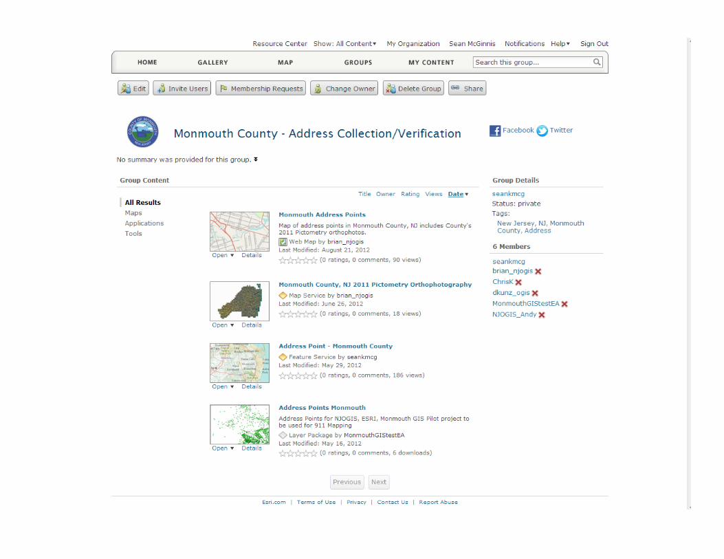

1. Private2. Organization3. Public
Group Security
1. Private2. Organization3. Public
ArcGIS Online users cannot find the group, they can only join if they are invited
A
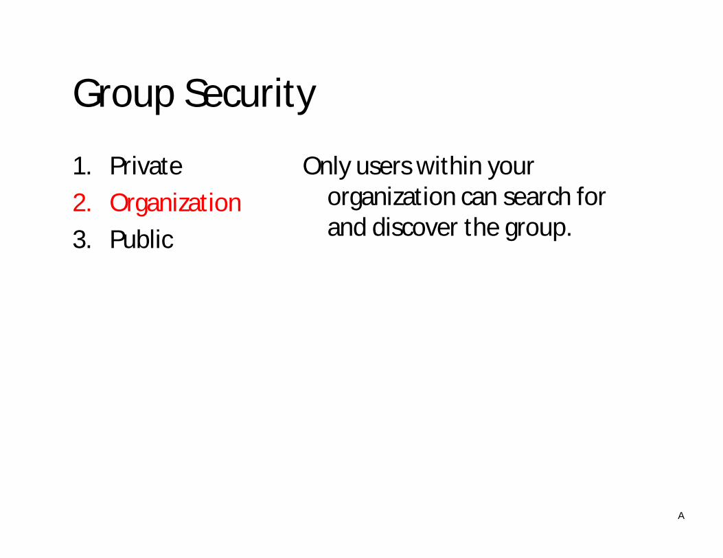
Group Security
1. Private2. Organization3. Public
Only users within your organization can search for and discover the group.
A

Group Security
1. Private2. Organization3. Public
Any ArcGIS Online user can search for and discover the group
A

Group Security
1. Private2. Organization3. Public
Any ArcGIS Online user can search for and discover the group
A

Publishing Information
Datasets • Shapefiles (.zip)• CSV & TXT (upload & by reference)• Layer Packages• KML• AGS Map Services• OGC Map Services

Publishing Information
Applications • Application URL’s• Web Maps• AGO Published Mapping Applications

Publishing Information
Tools • Geocoding Services• Network Analysis Services• Geoprocessing Services• Geodata Services• Geoprocessing Locators• Toolboxes &

How do I publish my data?
Web Interface ArcGIS for Desktop
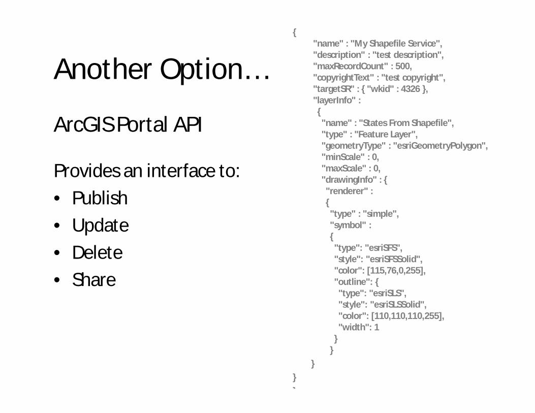
Another Option…
ArcGIS Portal API
Provides an interface to:• Publish• Update• Delete• Share
{"name" : "My Shapefile Service","description" : "test description","maxRecordCount" : 500,"copyrightText" : "test copyright","targetSR" : { "wkid" : 4326 },"layerInfo" :{"name" : "States From Shapefile","type" : "Feature Layer","geometryType" : "esriGeometryPolygon","minScale" : 0,"maxScale" : 0,"drawingInfo" : {"renderer" :{"type" : "simple","symbol" :{"type": "esriSFS","style": "esriSFSSolid","color": [115,76,0,255],"outline": {"type": "esriSLS","style": "esriSLSSolid","color": [110,110,110,255],"width": 1
}}
}}}
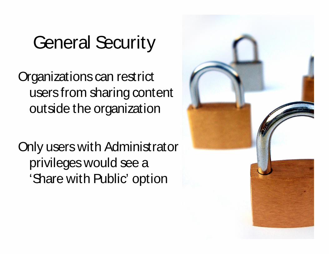
General Security
Organizations can restrict users from sharing content outside the organization
Only users with Administrator privileges would see a ‘Share with Public’ option
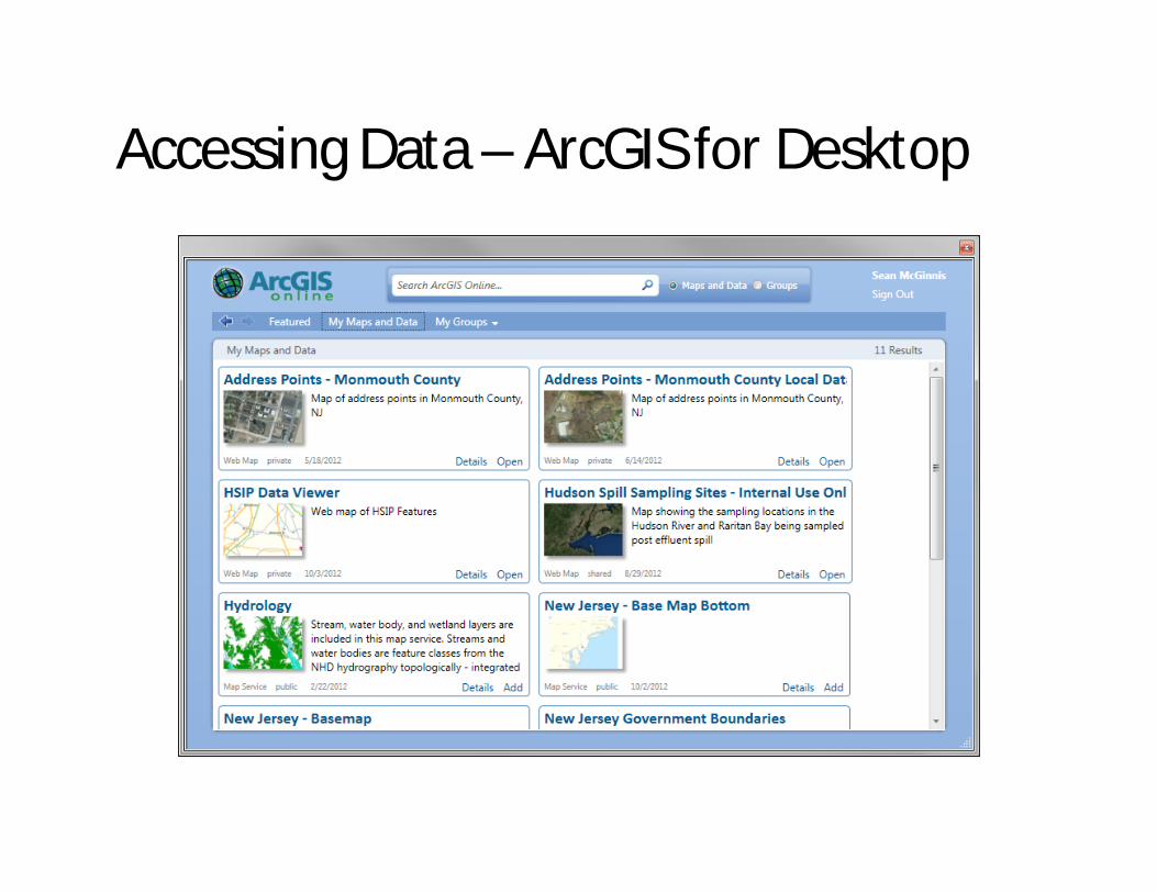
Accessing Data – ArcGIS for Desktop

Accessing Data – Maps for Office

Accessing Data – REST API

Accessing Data – ArcGIS Explorer Online

Accessing Data – ArcGIS.com Map Viewer

What are Web Maps?

Cause its all about sharing
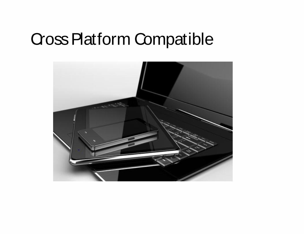
Cross Platform Compatible


Cost Model
# UsersTotal Cost Per Year
Add’l User Cost (5 Users) Cost/User # of Credits
Add’l Credits Cost(1000 )
5 $2,500 $2,500 $500 2,500 $100
50 $10,000 $1,000 $200 10,000 $100
100 $17,500 $875 $175 17,500 $100

What is a credit?Currently Esri does not provide estimates on credit
utilization.
Volume Credits
Data Transfer (I/O) 1 GB 6
Tile & Data Storage 1 GB 1.2/month
Geocoding 12.5 Records 1
Map Cache Generation 1000 tiles 1
Hosted Feature Service 10 mb 2.4/month
Estimate Source: Esri Conservation Program

Issues to Watch - Users
• Many beta testers have asked Esri to add more fine-grained control over user permissions –outcome unclear
• Another common request: integration with in-house LDAP directories – in progress
• User provisioning and removal is admin overhead for those controlling the org

Issues to Watch – Vetting Process
• AGO does not really have a process built in that supports review and approval of a map
• Only built-in control is to disable public sharing and have administrator-level users carry out all the final approvals
• Otherwise need an internal policy that enforces what approvals are needed before a map is shared publicly. Hope nobody goofs.

Issues to Watch – Data Management
• Data uploaded directly into a web map is available only through that web map
• Data uploaded and shared as an AGO feature service can be made available for use in multiple web maps (this uses credits)
• Uploaded data is disconnected from the original source, manual process for keeping it up to date is required
• Version control and documentation becomes VERY important
• AGO lacks support for this

Issues to Watch – Metadata
• AGO “Item description” is not structured as FGDC metadata, but you can past metadata in
• This creates a similar (but smaller) problem where you have now created a copy of something that must be kept up to date
• Alternative is to put a URL into the item description that links back to NJGIN metadata

OGIS Data hosting• Feature services driven directly off of OGIS enterprise
data store can be registered in AGO• Combine with base maps also from NJGIN• Eliminates update issues• Data hosting consumes no AGO credits• Users know they are getting data from authoritative
source• OGIS preparing to test performance• Plan is to register dozens/hundreds of layers• New data naming scheme and automated replication in
the works

Web MapGroups
Users
ArcGIS Online Services
Enterprise
Catalogue
Cached maps Cached maps
How Will It Work?
(most) graphics courtesy Esri


