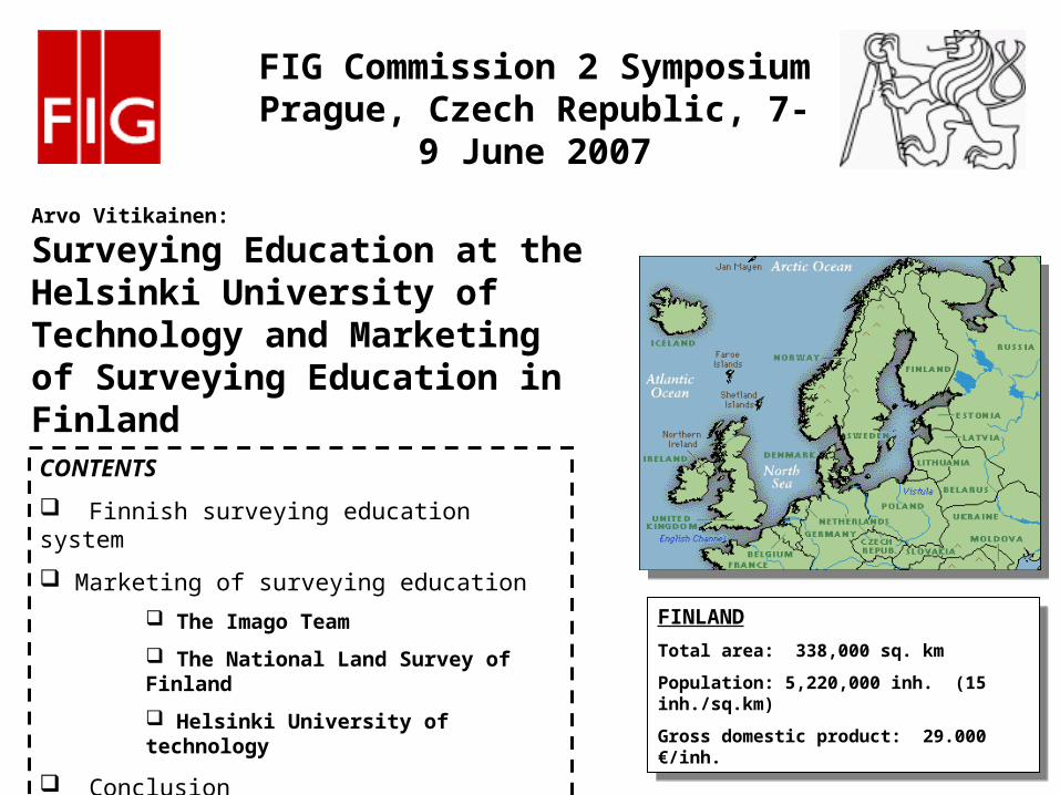
Arvo Vitikainen: Surveying Education at the Helsinki University of Technology and Marketing of Surveying Education in Finland FINLAND Total area: 338,000 sq. km Population: 5,220,000 inh. (15 inh./sq.km) Gross domestic product: 29.000 €/inh. CONTENTS Finnish surveying education system Marketing of surveying education The Imago Team The National Land Survey of Finland Helsinki University of technology Conclusion FIG Commission 2 Symposium Prague, Czech Republic, 7- 9 June 2007
Transcript
Arvo Vitikainen:
Surveying Education at the Helsinki University of Technology and Marketing of Surveying Education in Finland
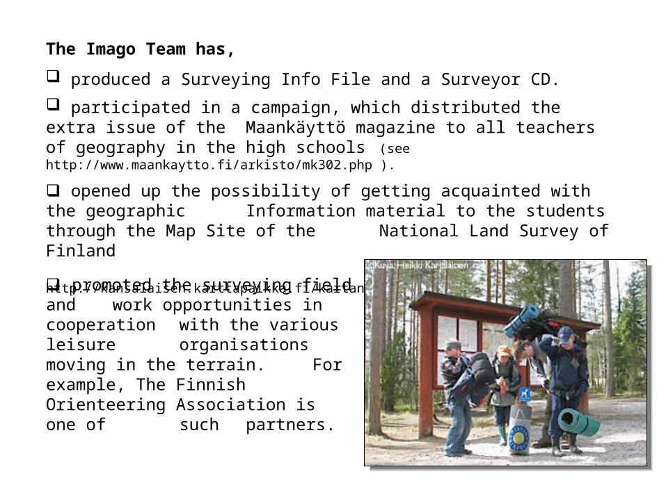
participated in a campaign, which distributed the extra issue of the Maankäyttö magazine to all teachers of geography in the high schools (see http://www.maankaytto.fi/arkisto/mk302.php ).
opened up the possibility of getting acquainted with the geographic Information material to the students through the Map Site of the National Land Survey of Finland (see http://kansalaisen.karttapaikka.fi/kartanhaku/osoitehaku.html?lang=FI )
promoted the surveying field and work opportunities in
cooperation with the various leisure organisations moving in the terrain. For example, The Finnish Orienteering Association is one of such partners.
The National Land Survey of Finland (NLS) is the biggest employer in the surveying field in Finland
the demand for new labour force is great in the future to replace the ones retiring.
NLS is devoting to developing the image of their own and the surveying field by working actively in the Imago Team.
at the result agreements between the land survey offices and the central administration has agreed that the local surveying offices sponsor and participate in the briefings organised by the students of surveying in the local educational institutions.
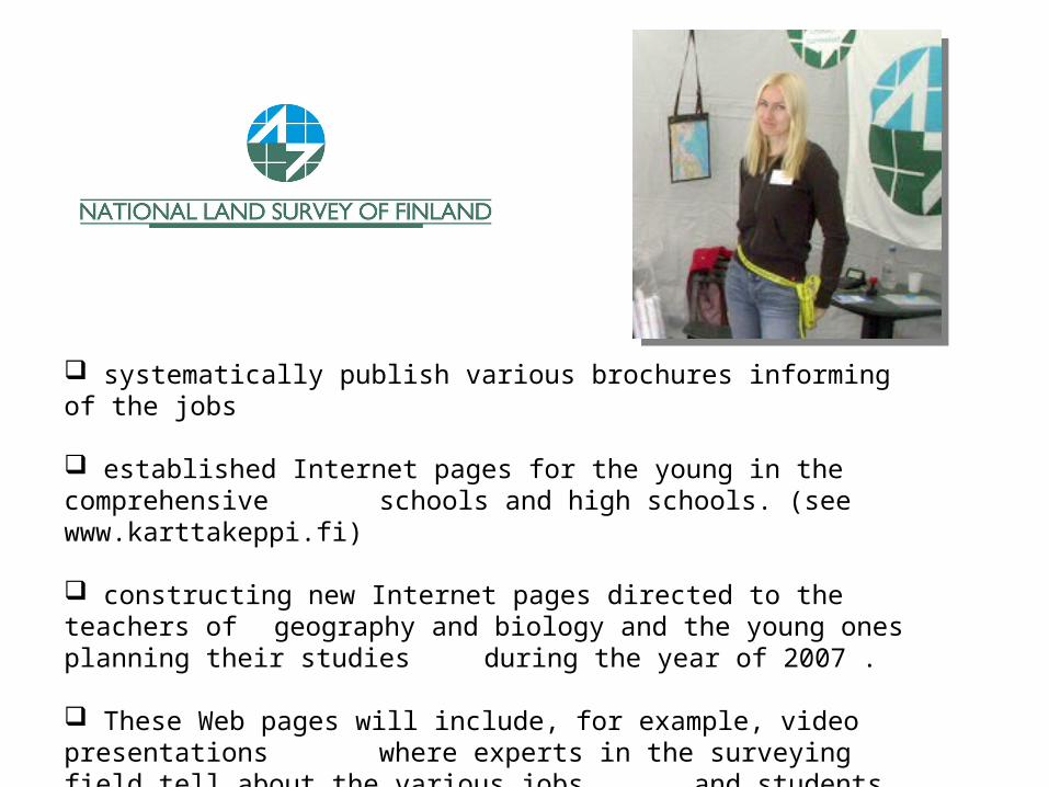
systematically publish various brochures informing of the jobs
established Internet pages for the young in the comprehensive schools and high schools. (see www.karttakeppi.fi)
constructing new Internet pages directed to the teachers of geography and biology and the young ones planning their studies during the year of 2007 .
These Web pages will include, for example, video presentations where experts in the surveying field tell about the various jobs and students of surveying tell about the contents of their studies.
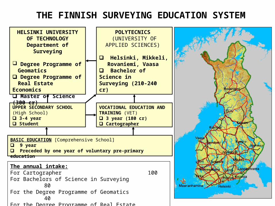
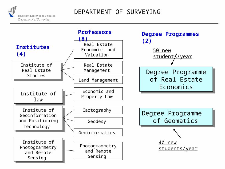
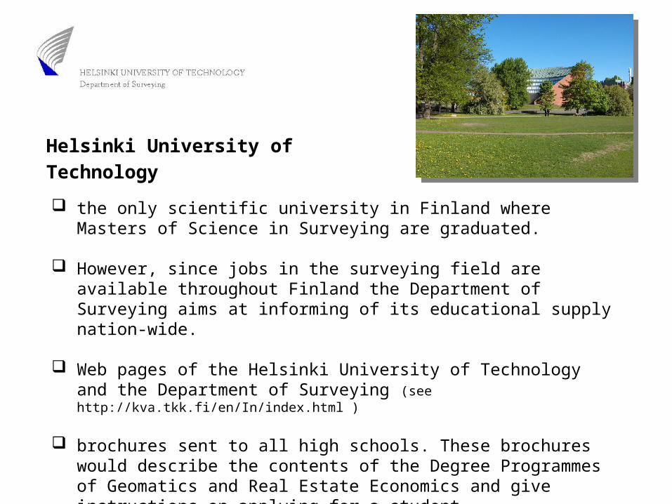
the only scientific university in Finland where Masters of Science in Surveying are graduated.
However, since jobs in the surveying field are available throughout Finland the Department of Surveying aims at informing of its educational supply nation-wide.
Web pages of the Helsinki University of Technology and the Department of Surveying (see http://kva.tkk.fi/en/In/index.html )
brochures sent to all high schools. These brochures would describe the contents of the Degree Programmes of Geomatics and Real Estate Economics and give instructions on applying for a student.
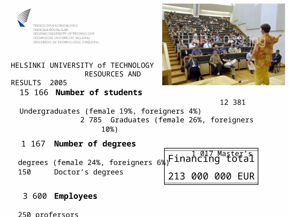
Helsinki University of Technology
Annually in the autumn and spring the Department of Surveying and the students arrange an ”open day” to high school students.
Annually the students from the Department of Surveying go to high schools around Finland and tell about the studies at the Department of Surveying - direct marketing events.
Since 2005 students from the Helsinki University of Technology and the Polytechnics have been working in co-operation and arranged joint events at high schools.
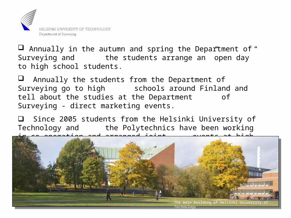
The main building of Helsinki University of Technology
Conclusion
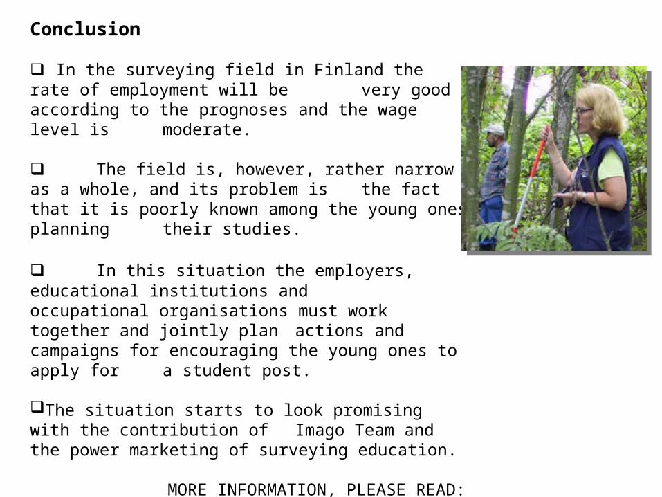
In the surveying field in Finland the rate of employment will be very good according to the prognoses and the wage level is moderate.
The field is, however, rather narrow as a whole, and its problem is the fact that it is poorly known among the young ones planning their studies.
In this situation the employers, educational institutions and occupational organisations must work together and jointly plan actions and campaigns for encouraging the young ones to apply for a student post.
The situation starts to look promising with the contribution of Imago Team and the power marketing of surveying education.