Bellringer Get out one sheet of paper & answer these q’s 1. Where is most of Canada’s population concentrated? 2. What are the advantages to living in a megalopolis? Disadvantage? 3. What is significant about the sunbelt?
Transcript
Bellringer Get out one sheet of paper & answer
these q’s1. Where is most of Canada’s population
concentrated?
2. What are the advantages to living in a megalopolis? Disadvantage?
3. What is significant about the sunbelt?
POPULATION PATTERNS
Chapter 6 Section 1
The People5% of world’s pop.
Canada (2012): 34.9 millionUS (2012): 314 million 3rd largest
What is the common tie b/w everyone in these countries?All are immigrants or descendants
IMMIGRATIONThe movement of people into
one country from another.Both Canada and the United
States were shaped by immigration.
Immigration1st wave- across land bridge from Asia
(Native Americans)Several waves to follow- all groups
affected by push-pull factors of that time Timeline site Were they always
accepted/appreciated?
REASONS FOR IMMIGRATION
Seeking religious or political freedom.
Wanted greater economic opportunities.
Rich natural resources and rapid industrial and economic development made region an attractive destination.
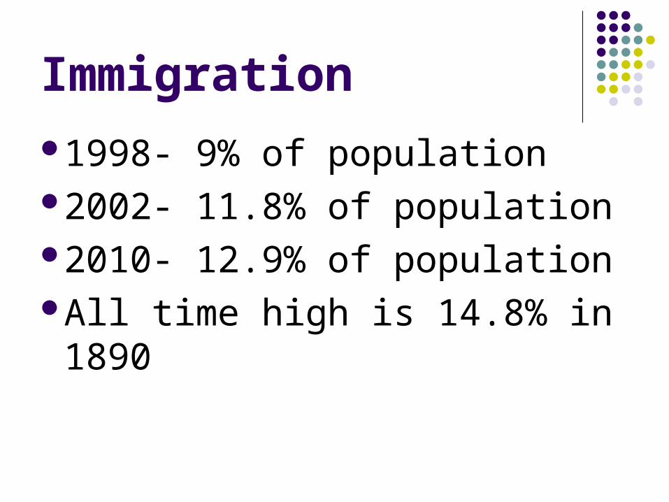
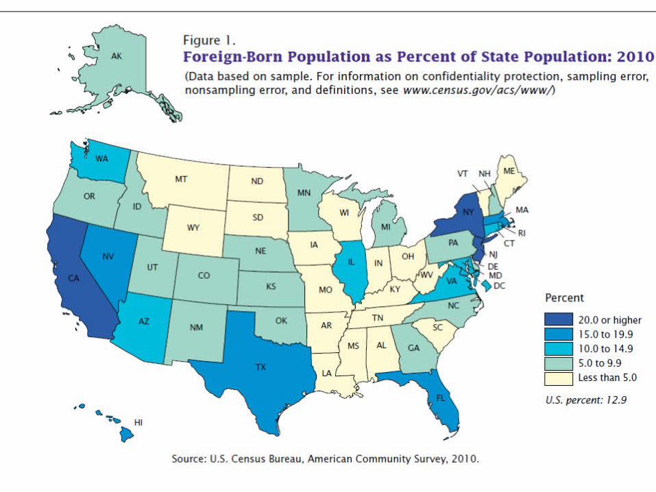
Immigration1998- 9% of population2002- 11.8% of population2010- 12.9% of populationAll time high is 14.8% in 1890
Population density & distribution
Canada is larger country…but 8 ppl/sq. mileMost is inhospitable 90% live
on border with US/ middle prairies/ W. Coast
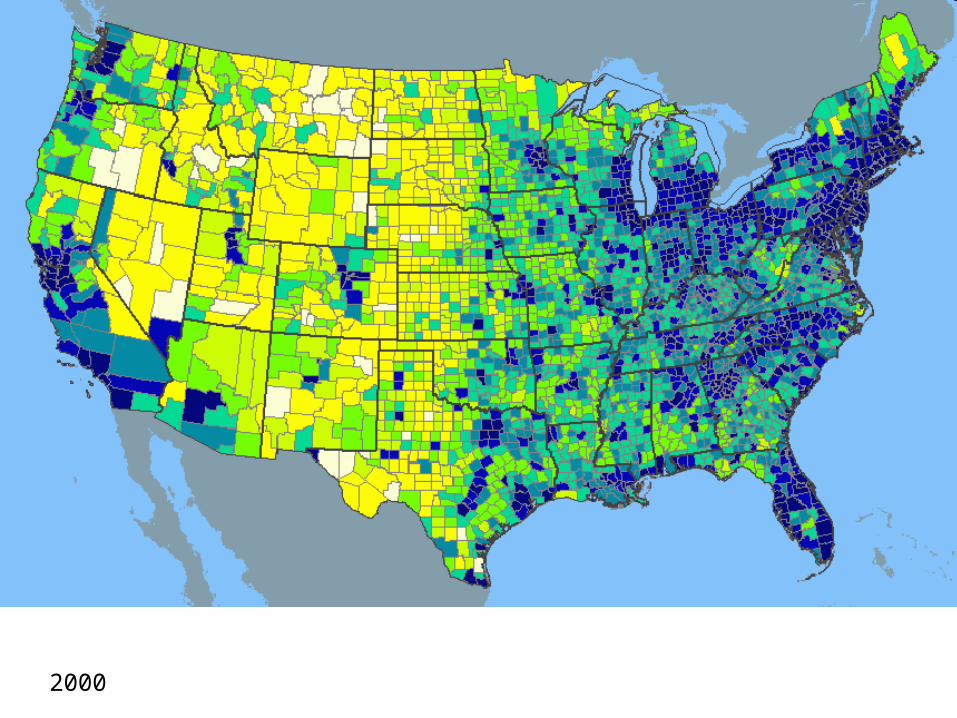
2002
Population density & distribution
US has 77 ppl/sq. mile (NJ is highest)Widely distributedNE/ Great Lakes = most dense (history &
industry)Pacific coast climate, resources, $
California #1 state in # (but also bigger)S and SW = fastest growing (climate, jobs,
land space)Retirees, immigrants from LA
2000
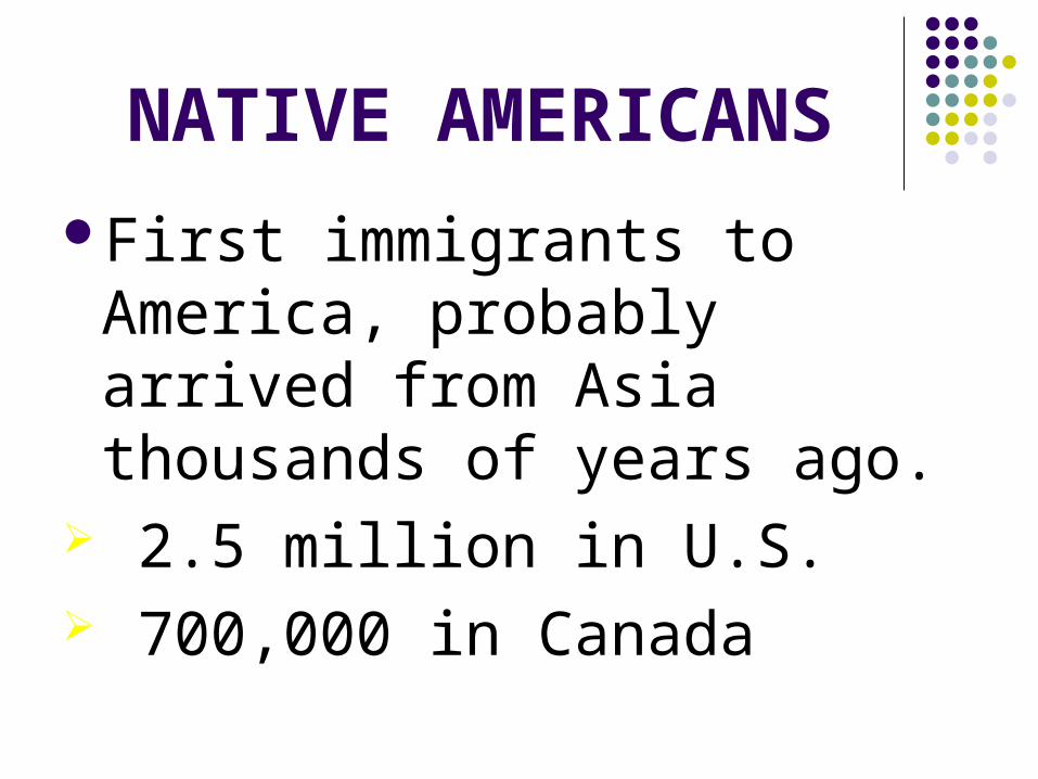
NATIVE AMERICANSFirst immigrants to America,
probably arrived from Asia thousands of years ago.
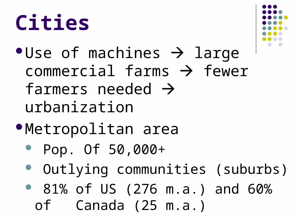
Metropolitan area Pop. Of 50,000+ Outlying communities (suburbs) 81% of US (276 m.a.) and 60% of
Canada (25 m.a.)
METROPOLITAN AREA
A region that includes a central city and its surrounding suburbs.
Houston, Sugar Land, Missouri City, Katy, Tomball, Pasadena, Pearland, etc.
SUBURBSOutlying communities around a
city.Such as Missouri City, Sugar
Land, and Stafford.
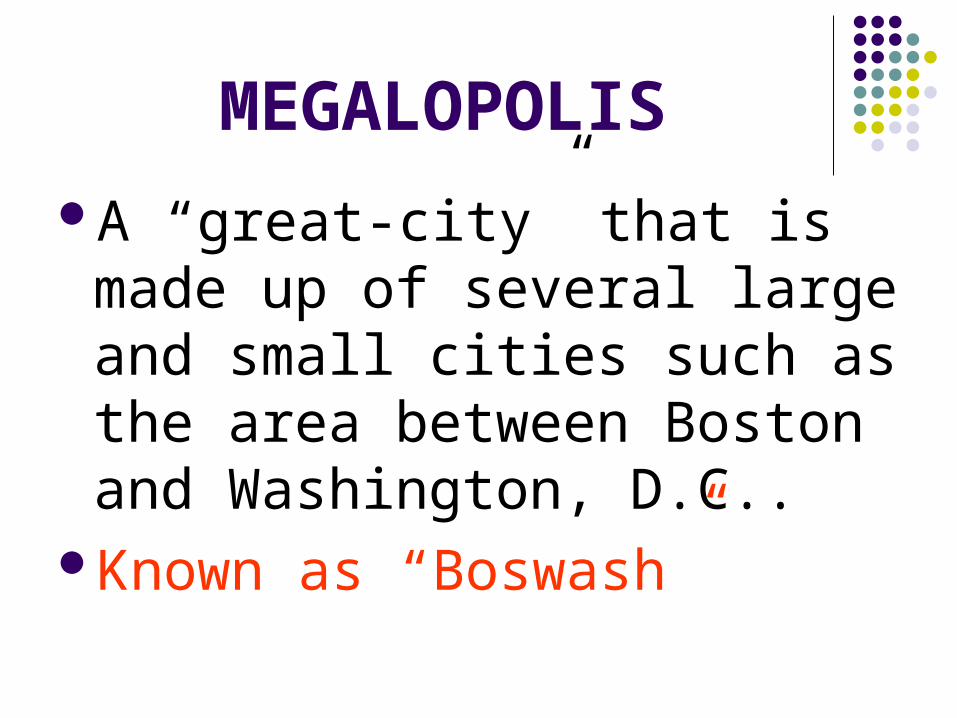
MEGALOPOLISA “great-city” that is made up of
several large and small cities such as the area between Boston and Washington, D.C..
Known as “Boswash”
Boston, New York, Philadelphia, and Baltimore are part “Boswash.”
All four became important world trade centers because of their coastal or near coastal locations.
Rivers, lakes, and inland waterways offered natural resources and transportation routes that contributed to the growth of North America’s inland cities and rapid industrialization
Detroit Chicago Cincinnati Pittsburgh Edmonton St. Louis
CitiesMetropolis
DALLAS/FORT WORTH
HOUSTON
SAN ANTONIO
AUSTIN
Major city
Suburbs
Megalopolis
CitiesWhy do ppl settle on the coast/
rivers?PORTS, trade, commercial links,
natural resourcesWhat are Seattle & San Francisco
known for?Silicon Valley- computer & aerospace
industries
Draw An…IMMIGRANT
Use one piece of paper Use 3 colors- must have meaningAt least 5 detailsWords are optionalBe ready to share