The 5 parts of a map The 5 parts of a map are:are:
A. scale A. scale
B. titleB. title
C. compassC. compass
D. gridD. grid
E. legend/keyE. legend/key
scalescale
Line divided into parts Line divided into parts showing miles or showing miles or kilometerskilometers
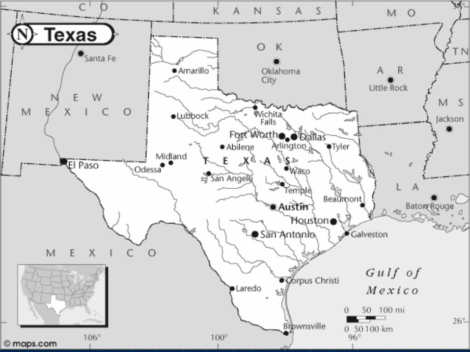
titletitle
Tells the reader what the Tells the reader what the map is aboutmap is about
compasscompass Direction arrowDirection arrow that points north that points north
on the map.on the map. Compass roseCompass rose points the four points the four
cardinal directions as well as the cardinal directions as well as the intermediate directionsintermediate directions..
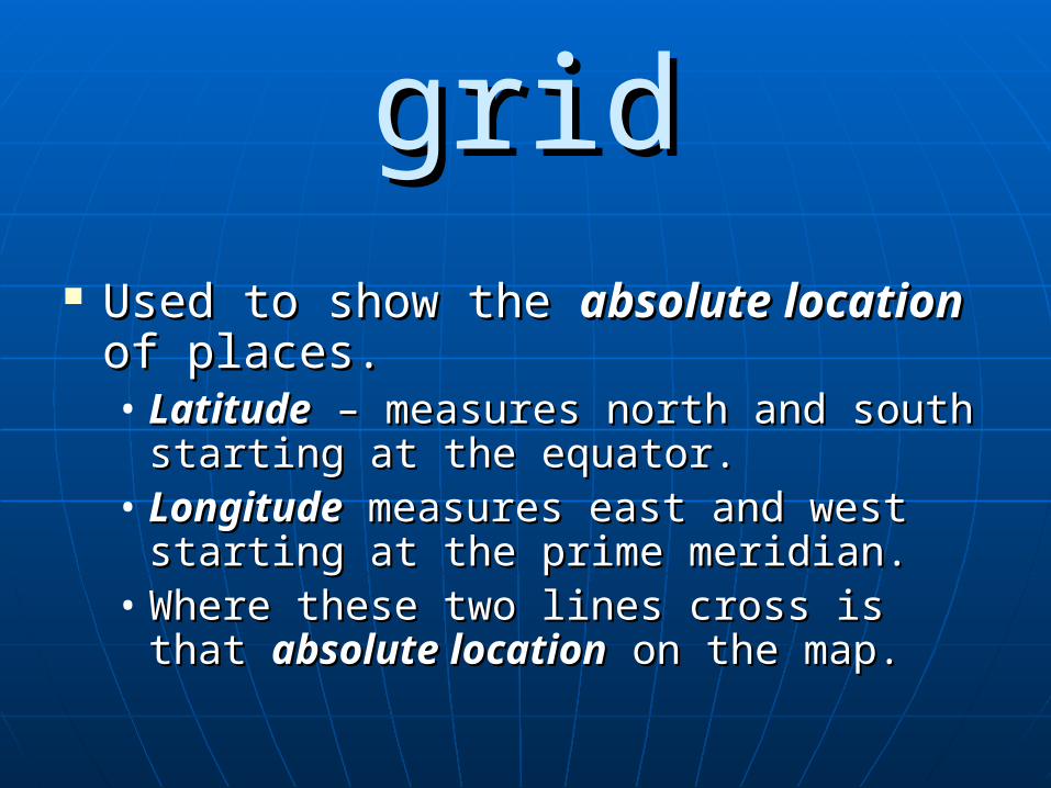
gridgrid Used to show the Used to show the absolute locationabsolute location
of places.of places.• LatitudeLatitude – measures north and south – measures north and south
starting at the equator.starting at the equator.• LongitudeLongitude measures east and west measures east and west
starting at the prime meridian.starting at the prime meridian.• Where these two lines cross is that Where these two lines cross is that
absolute locationabsolute location on the map. on the map.
legend/keylegend/key
To explain the various colors and To explain the various colors and symbols used on the map. symbols used on the map.
2. The 5 Themes of geography are: 2. The 5 Themes of geography are:
MMovementovement RRegionsegions HHuman uman EEnvironment Interactionnvironment Interaction LLocationocation PPlacelace **also known as **also known as Mr. Help**Mr. Help**
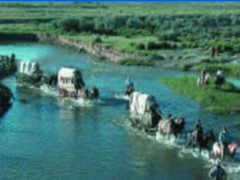
MovementMovement
The movement of ideas, The movement of ideas, people and things across people and things across the globe.the globe.
RegionsRegions
An area that has general An area that has general similarities in land forms, similarities in land forms, climate and vegetation.climate and vegetation.
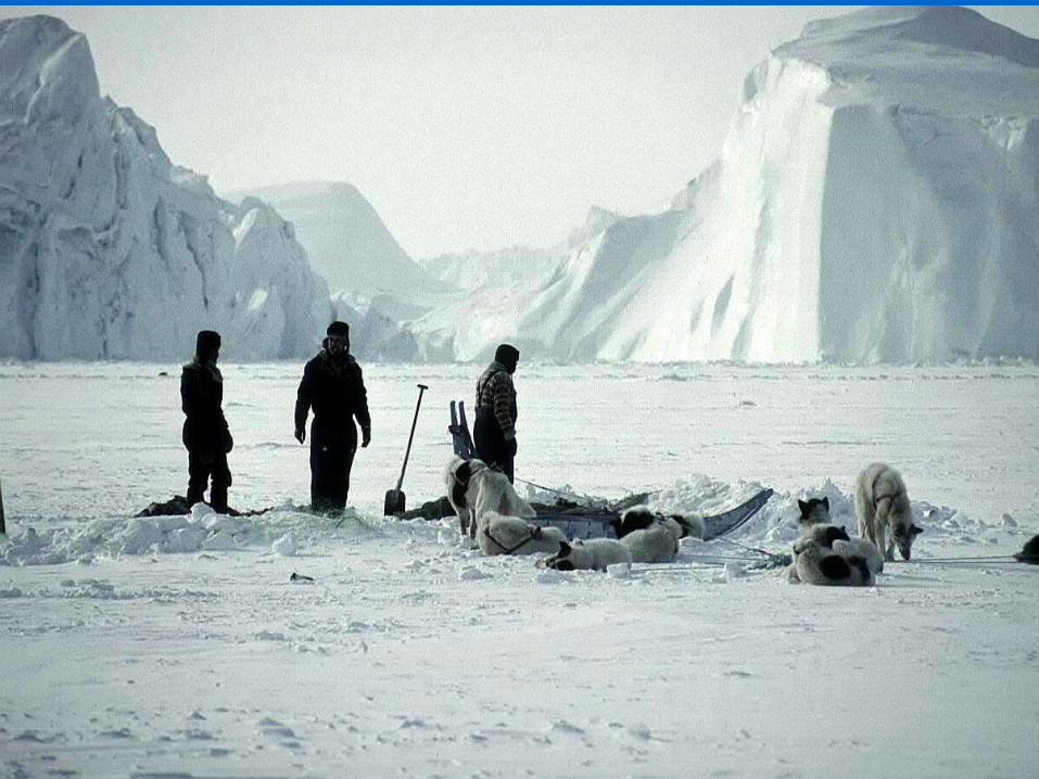
Human Environment Human Environment InteractionInteraction
How people use, adapt to, or How people use, adapt to, or change their surroundings.change their surroundings.
LocationLocation
The position of a place on The position of a place on the earth’s surface.the earth’s surface.
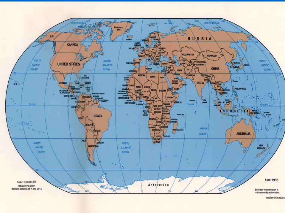
Relative locationRelative location
- is the position of a location - is the position of a location on the earth’s surface in on the earth’s surface in relation to other locations.relation to other locations.
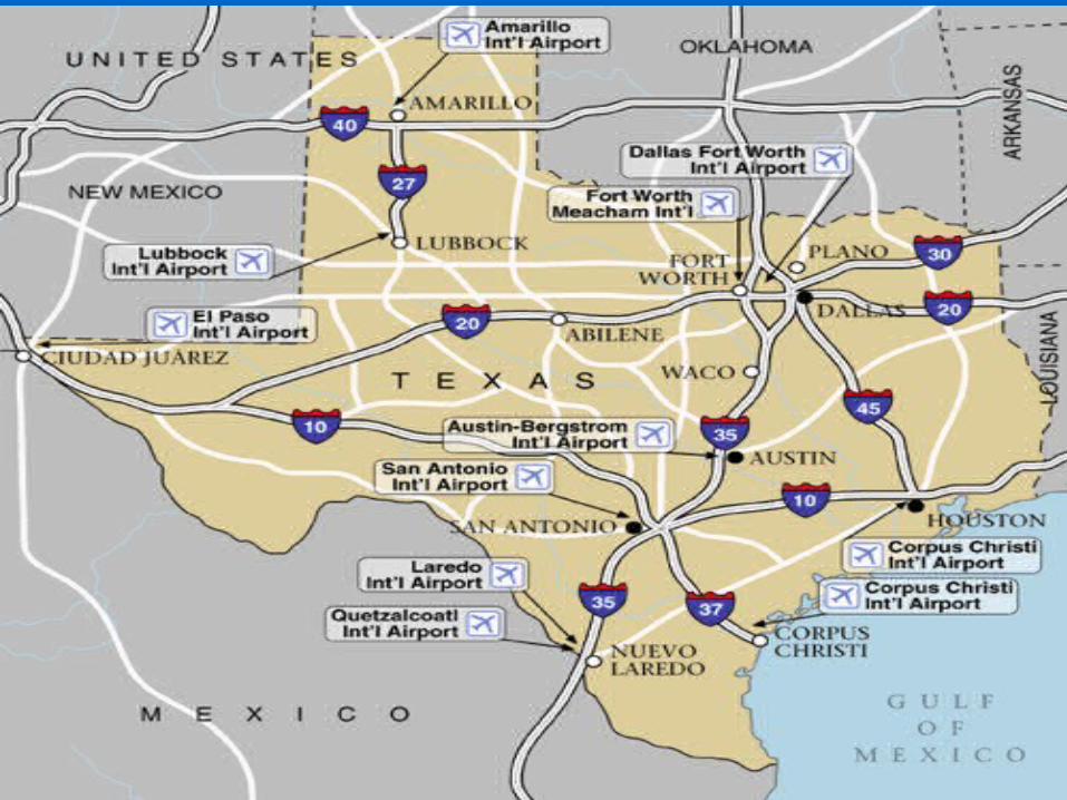
Absolute locationAbsolute location
– – is the exact position of a is the exact position of a mountain, river, lake, mountain, river, lake, city, or town on the city, or town on the earth’s surface.earth’s surface.
PlacePlace Description of an area.Description of an area.
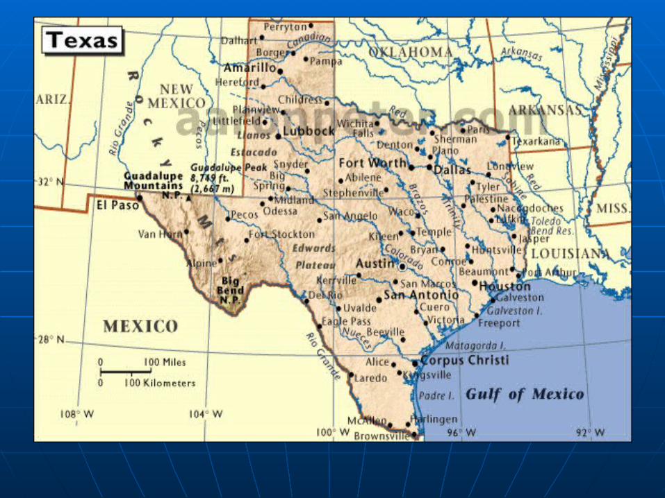
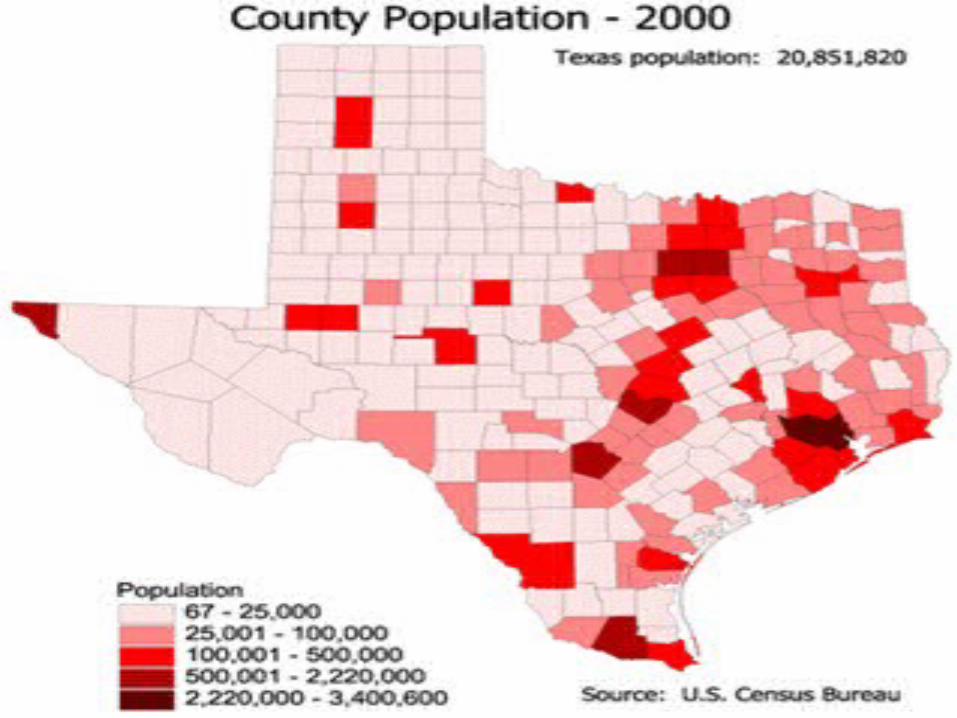
3. Types of maps3. Types of maps
PhysicalPhysical
PoliticalPolitical
Special purposeSpecial purpose
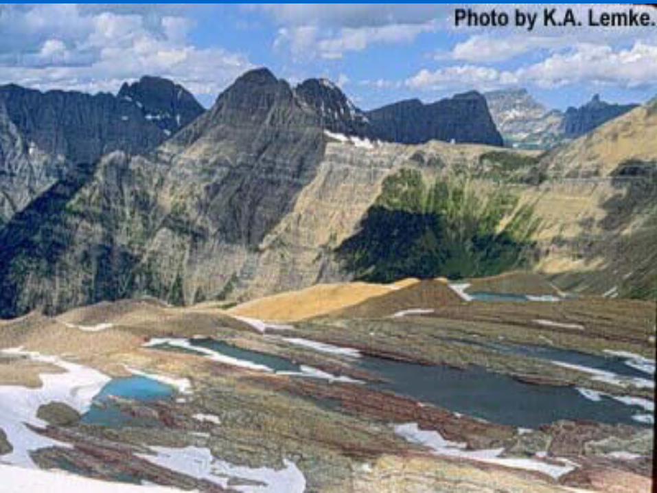
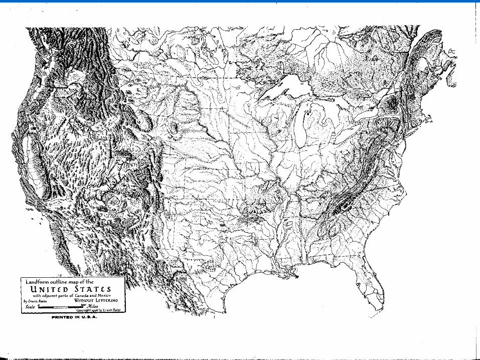
PhysicalPhysical Map that shows Map that shows
mountains, rivers, plains mountains, rivers, plains and other physical and other physical features.features.
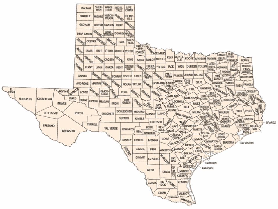
PoliticalPolitical
Map that shows cities, Map that shows cities, states, countries and other states, countries and other smaller political divisions.smaller political divisions.
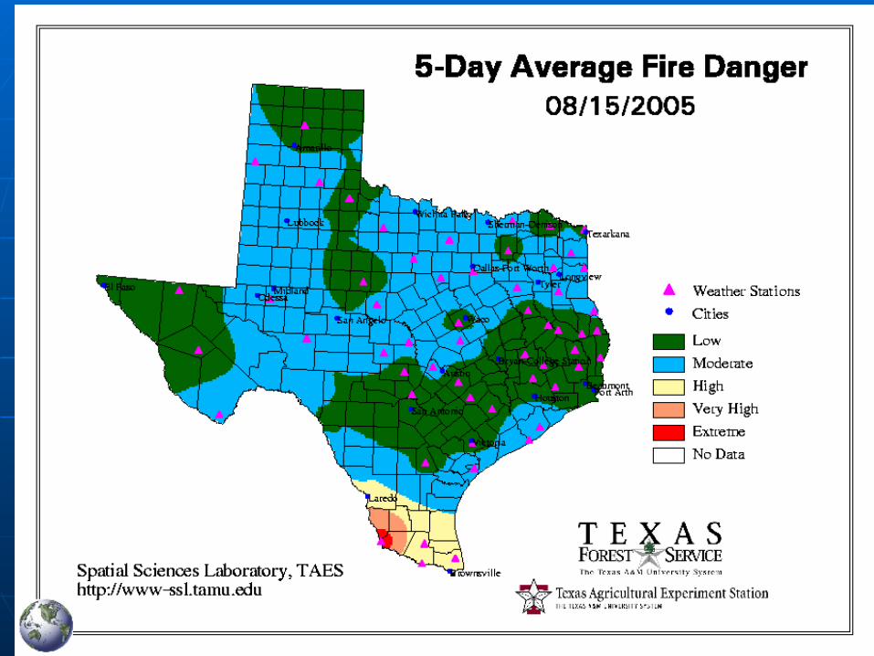
Special PurposeSpecial Purpose
Map that shows rainfall, Map that shows rainfall, agriculture, population agriculture, population density, and other special density, and other special purposes.purposes.
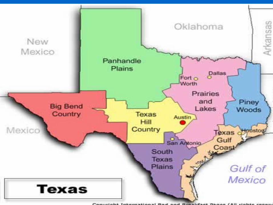
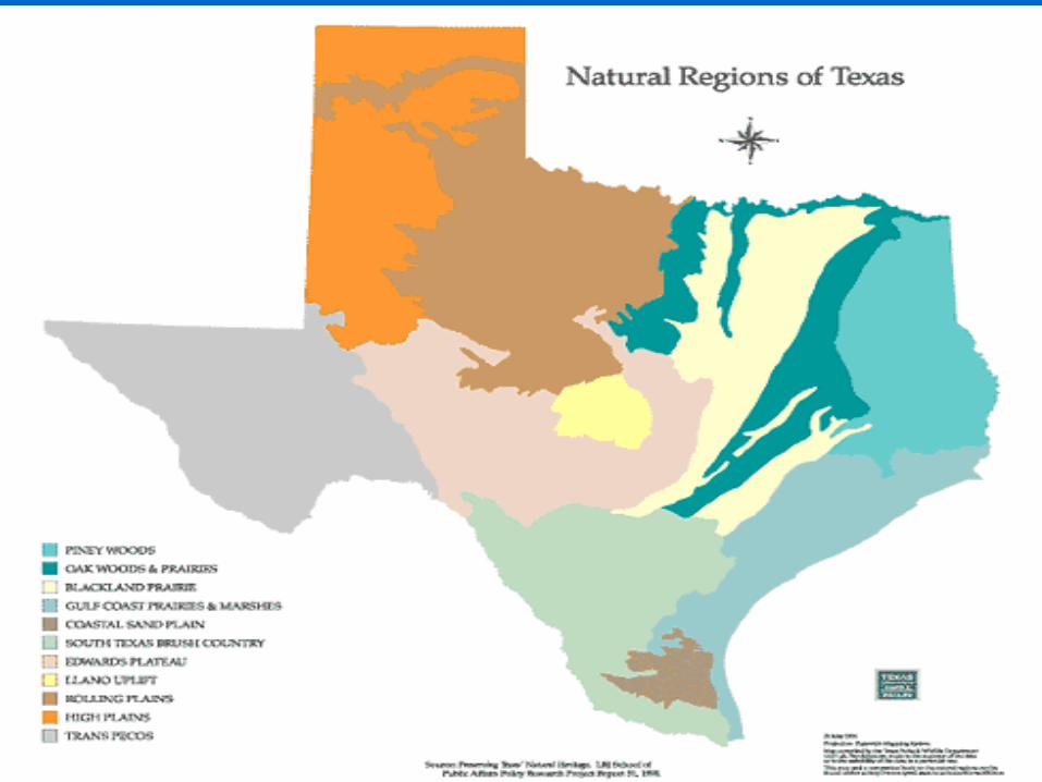
4. Four Regions of Texas4. Four Regions of Texas
Coastal PlainsCoastal Plains
North Central TexasNorth Central Texas
Great PlainsGreat Plains
Mountains and BasinsMountains and Basins
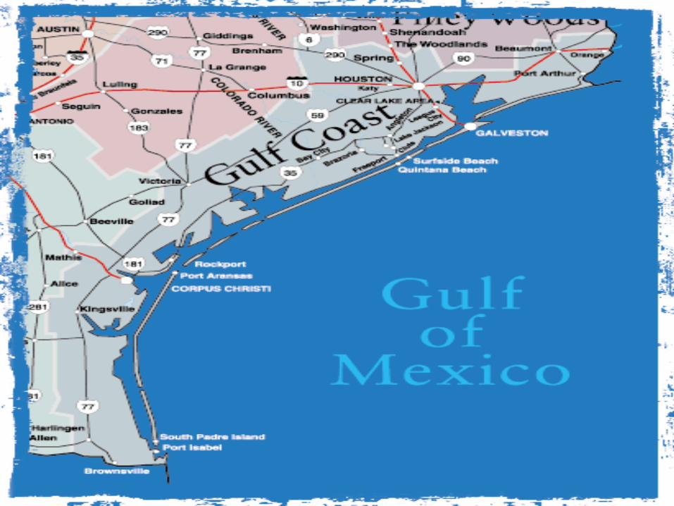
Coastal PlainsCoastal Plains
The largest natural region in Texas The largest natural region in Texas that lies along the coast with flat that lies along the coast with flat land and plenty of waterland and plenty of water
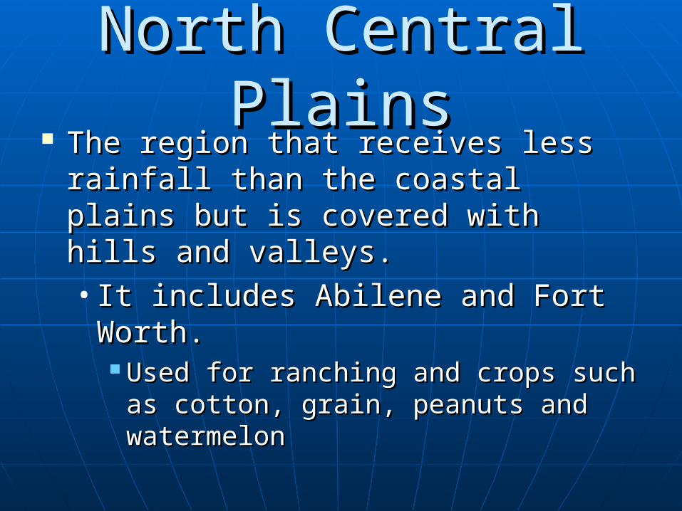
North Central PlainsNorth Central Plains The region that receives less rainfall The region that receives less rainfall
than the coastal plains but is covered than the coastal plains but is covered with hills and valleys.with hills and valleys.• It includes Abilene and Fort Worth.It includes Abilene and Fort Worth.
Used for ranching and crops such as Used for ranching and crops such as cotton, grain, peanuts and cotton, grain, peanuts and watermelonwatermelon
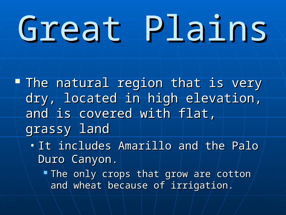
Great PlainsGreat Plains The natural region that is very dry, The natural region that is very dry,
located in high elevation, and is located in high elevation, and is covered with flat, grassy landcovered with flat, grassy land• It includes Amarillo and the Palo Duro It includes Amarillo and the Palo Duro
Canyon.Canyon. The only crops that grow are cotton and The only crops that grow are cotton and
wheat because of irrigation. wheat because of irrigation.
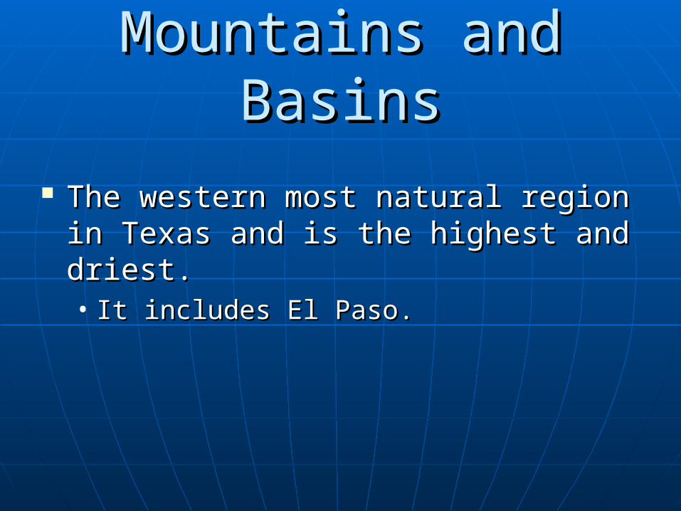
Mountains and BasinsMountains and Basins
The western most natural region in The western most natural region in Texas and is the highest and driest. Texas and is the highest and driest. • It includes El Paso.It includes El Paso.