Organizational and Institutional issues for Geospatial Implementation Brazilian Ministry of Planning, Budget and Management Luiz Paulo Souto Fortes, PhD Directorate of Geosciences Taller Regional Sobre Cartografía Censal con Miras a la Ronda de Censos 2010 en Latinoamérica Santiago, Chile, 24-27 de Noviembre, 2008
Transcript
Organizational and Institutional issues for Geospatial Implementation
Brazilian Ministry of Planning, Budget and Management
Luiz Paulo Souto Fortes, PhDDirectorate of Geosciences
Taller Regional Sobre Cartografía Censal con Miras a la Ronda de Censos 2010 en Latinoamérica
Santiago, Chile, 24-27 de Noviembre, 2008
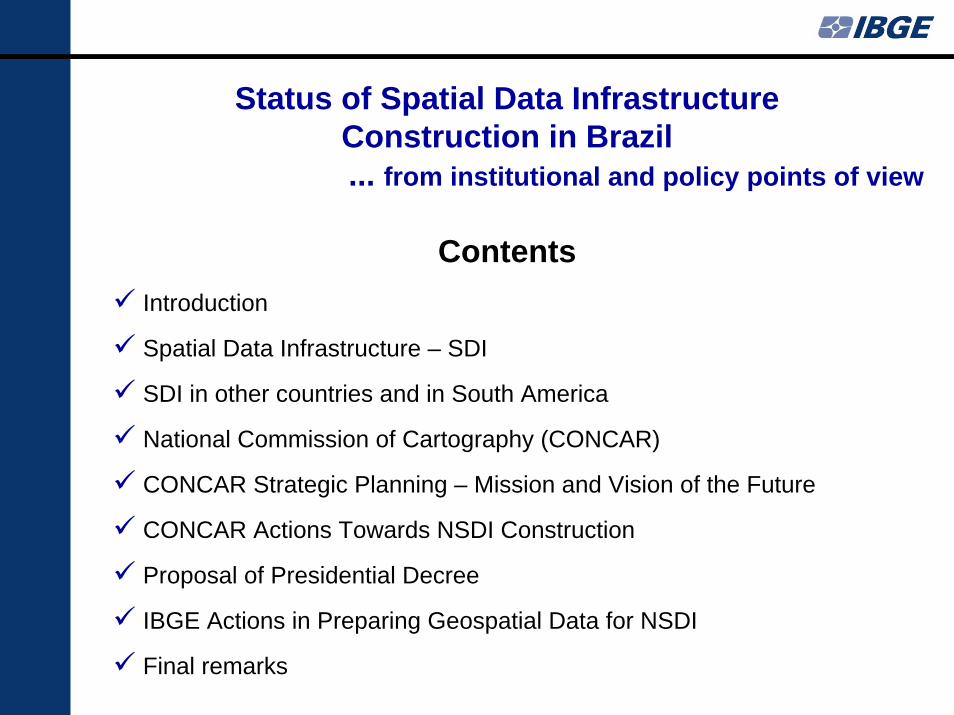
Introduction
Spatial Data Infrastructure – SDI
SDI in other countries and in South America
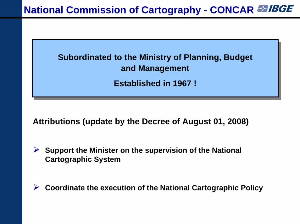
National Commission of Cartography (CONCAR)
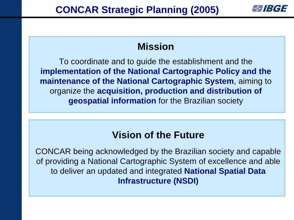
CONCAR Strategic Planning – Mission and Vision of the Future
CONCAR Actions Towards NSDI Construction
Proposal of Presidential Decree
IBGE Actions in Preparing Geospatial Data for NSDI
Final remarks
Status of Spatial Data Infrastructure Construction in Brazil ... from institutional and policy points of view
Contents
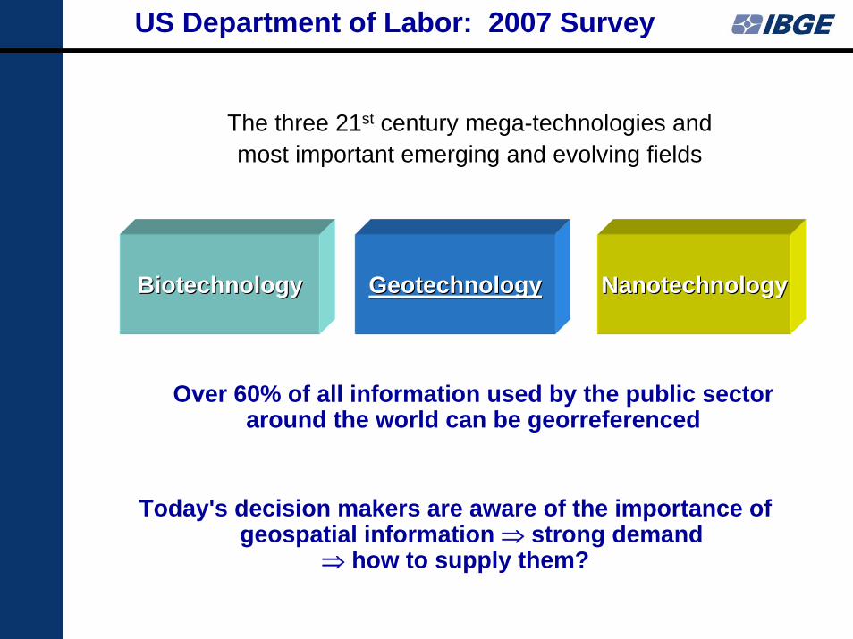
US Department of Labor: 2007 Survey
Over 60% of all information used by the public sector around the world can be georreferenced
Today's decision makers are aware of the importance of geospatial information ⇒ strong demand
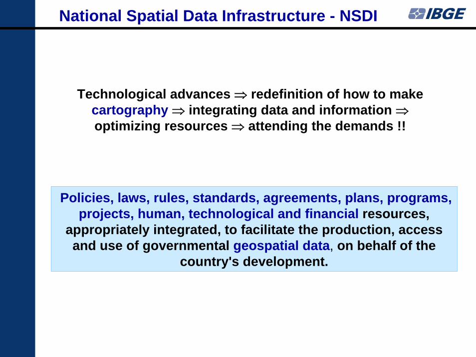
appropriately integrated, to facilitate the production, access and use of governmental geospatial data, on behalf of the
country's development.
Technological advances ⇒ redefinition of how to make cartography ⇒ integrating data and information ⇒optimizing resources ⇒ attending the demands !!
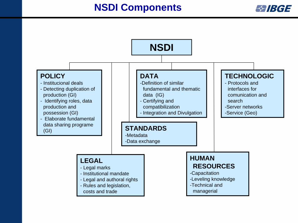
NSDI Components
NSDI
POLICY- Institucional deals- Detecting duplication of
production (GI) - Identifying roles, data
production and possession (GI)
- Elaborate fundamental data sharing programe (GI)
DATA-Definition of similar
fundamental and thematic data (IG)
- Certifying and compatibilization
- Integration and Divulgation
TECHNOLOGIC- Protocols and
interfaces for comunication and search
-Server networks-Service (Geo)
LEGAL- Legal marks- Institutional mandate- Legal and authoral rights- Rules and legislation,
costs and trade
STANDARDS-Metadata-Data exchange
HUMAN RESOURCES
-Capacitation-Leveling knowledge-Technical and
managerial
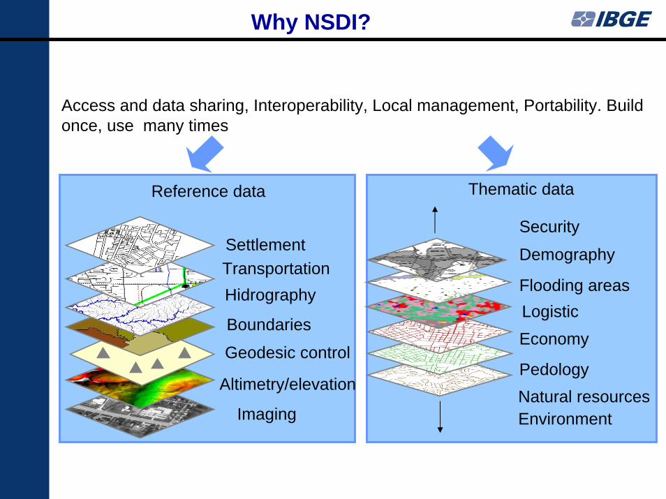
Why NSDI?
Imaging
Altimetry/elevation
Geodesic control
Boundaries
HidrographyTransportationSettlement
Pedology
Economy LogisticFlooding areas
Demography
Security
Access and data sharing, Interoperability, Local management, Portability. Build once, use many times
Reference data Thematic data
Natural resourcesEnvironment
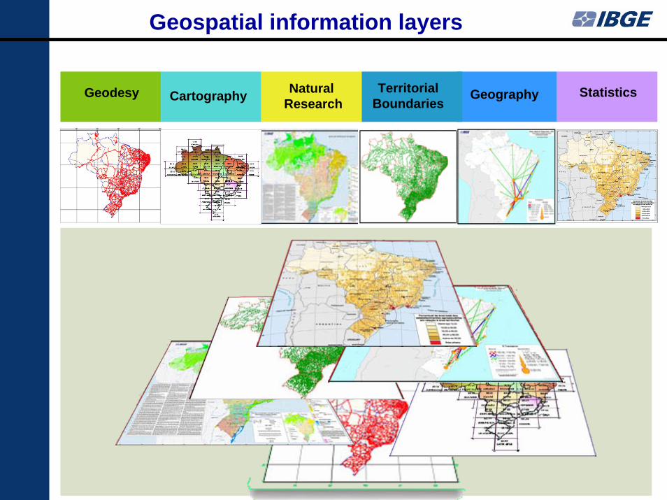
Geodesy NaturalResearchCartography Territorial
BoundariesGeography Statistics
Geospatial information layers
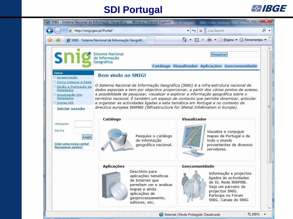
SDI Portugal
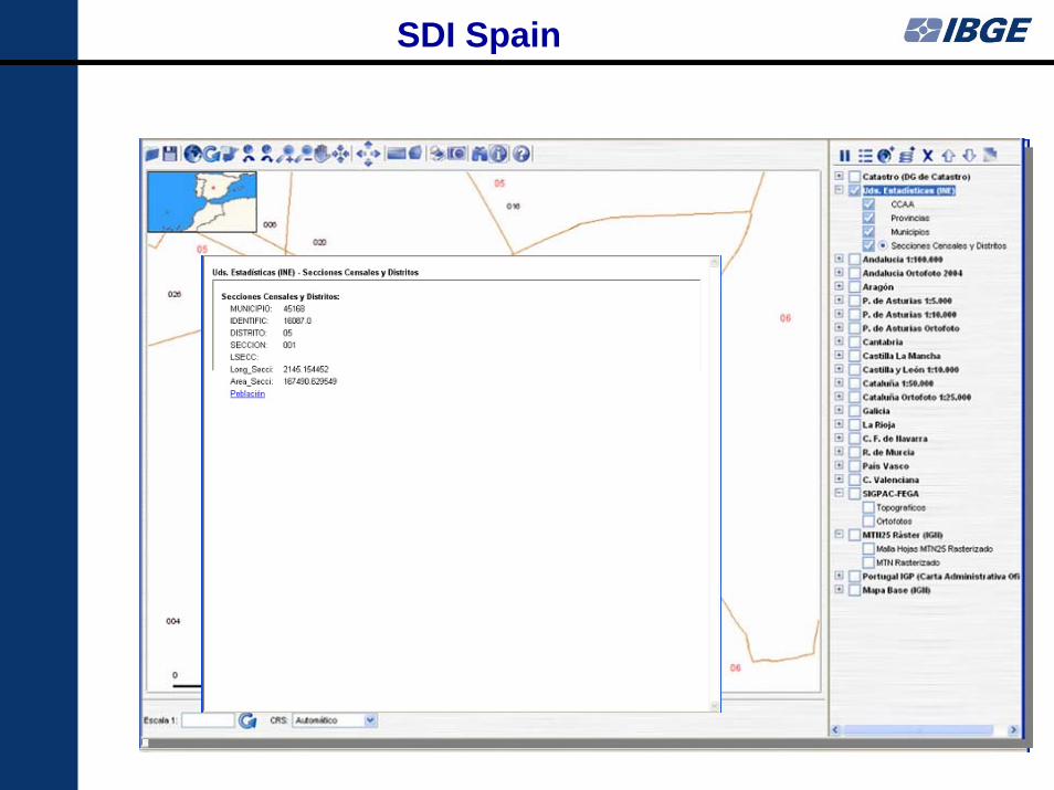
SDI Spain
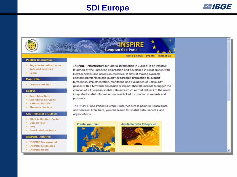
SDI Europe
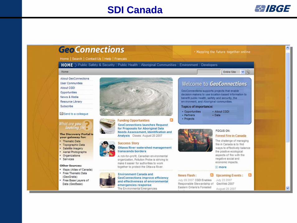
SDI Canada
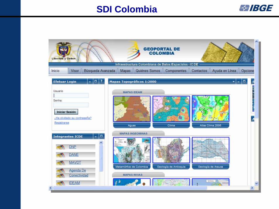
SDI Colombia
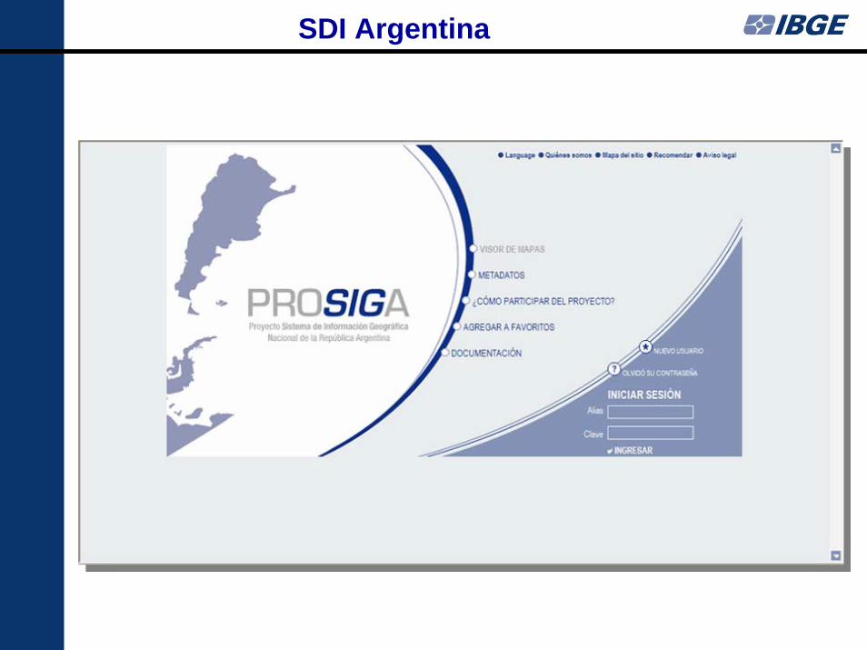
SDI Argentina
Subordinated to the Ministry of Planning, Budget and Management
Established in 1967 !
National Commission of Cartography - CONCAR
Attributions (update by the Decree of August 01, 2008)
Support the Minister on the supervision of the National Cartographic System
Coordinate the execution of the National Cartographic Policy
Vision of the FutureCONCAR being acknowledged by the Brazilian society and capable of providing a National Cartographic System of excellence and able
to deliver an updated and integrated National Spatial Data Infrastructure (NSDI)
MissionTo coordinate and to guide the establishment and the
implementation of the National Cartographic Policy and the maintenance of the National Cartographic System, aiming to
organize the acquisition, production and distribution ofgeospatial information for the Brazilian society
CONCAR Strategic Planning (2005)
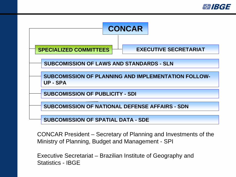
CONCAR
SUBCOMISSION OF LAWS AND STANDARDS - SLN
SUBCOMISSION OF PLANNING AND IMPLEMENTATION FOLLOW-UP - SPA
EXECUTIVE SECRETARIATSPECIALIZED COMMITTEES
SUBCOMISSION OF SPATIAL DATA - SDE
SUBCOMISSION OF PUBLICITY - SDI
SUBCOMISSION OF NATIONAL DEFENSE AFFAIRS - SDN
CONCAR President – Secretary of Planning and Investments of the Ministry of Planning, Budget and Management - SPI
Executive Secretariat – Brazilian Institute of Geography and Statistics - IBGE
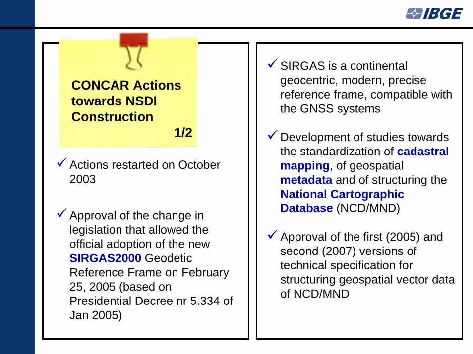
CONCAR Actions towards NSDI Construction
1/2
SIRGAS is a continental geocentric, modern, precise reference frame, compatible with the GNSS systems
Development of studies towards the standardization of cadastral mapping, of geospatial metadata and of structuring the National Cartographic Database (NCD/MND)
Approval of the first (2005) and second (2007) versions of technical specification for structuring geospatial vector data of NCD/MND
Actions restarted on October 2003
Approval of the change in legislation that allowed the official adoption of the new SIRGAS2000 Geodetic Reference Frame on February 25, 2005 (based on Presidential Decree nr 5.334 of Jan 2005)
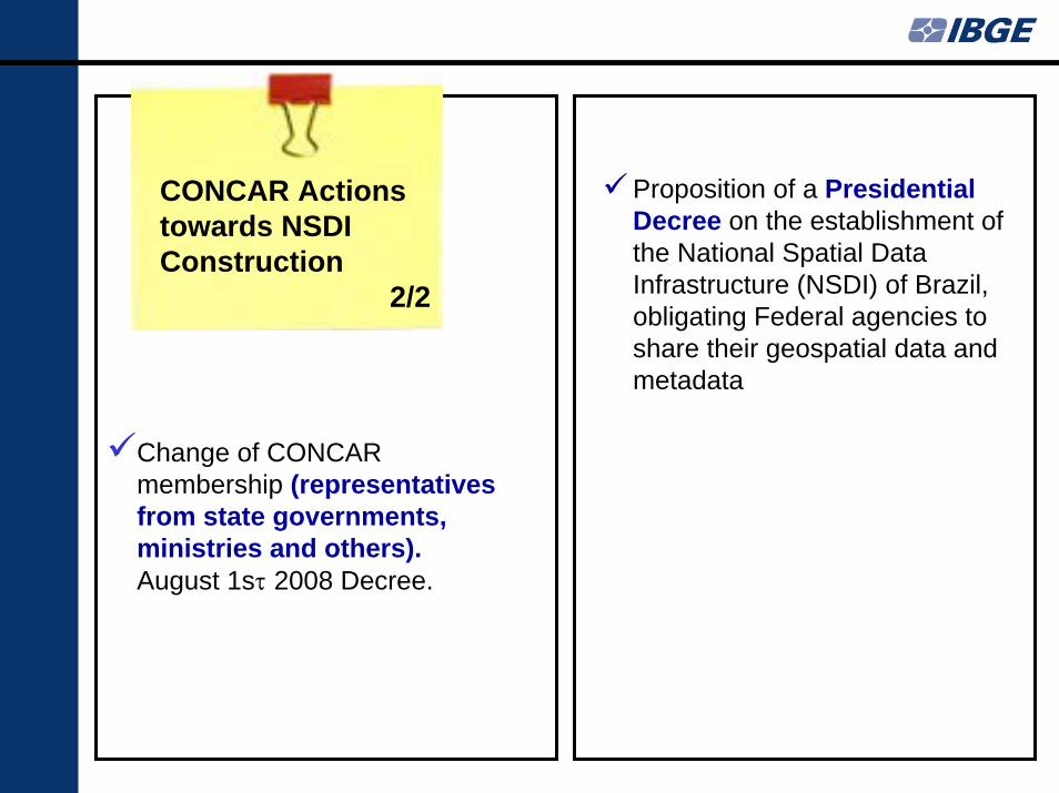
CONCAR Actions towards NSDI Construction
2/2
Change of CONCARmembership (representatives from state governments, ministries and others).August 1sτ 2008 Decree.
Proposition of a Presidential Decree on the establishment of the National Spatial Data Infrastructure (NSDI) of Brazil, obligating Federal agencies to share their geospatial data and metadata
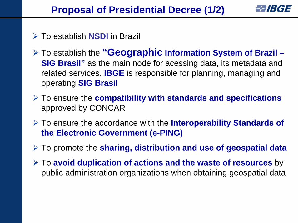
Proposal of Presidential Decree (1/2)
To establish NSDI in Brazil
To establish the “Geographic Information System of Brazil –SIG Brasil” as the main node for acessing data, its metadata and related services. IBGE is responsible for planning, managing and operating SIG Brasil
To ensure the compatibility with standards and specificationsapproved by CONCAR
To ensure the accordance with the Interoperability Standards of the Electronic Government (e-PING)
To promote the sharing, distribution and use of geospatial data
To avoid duplication of actions and the waste of resources by public administration organizations when obtaining geospatial data
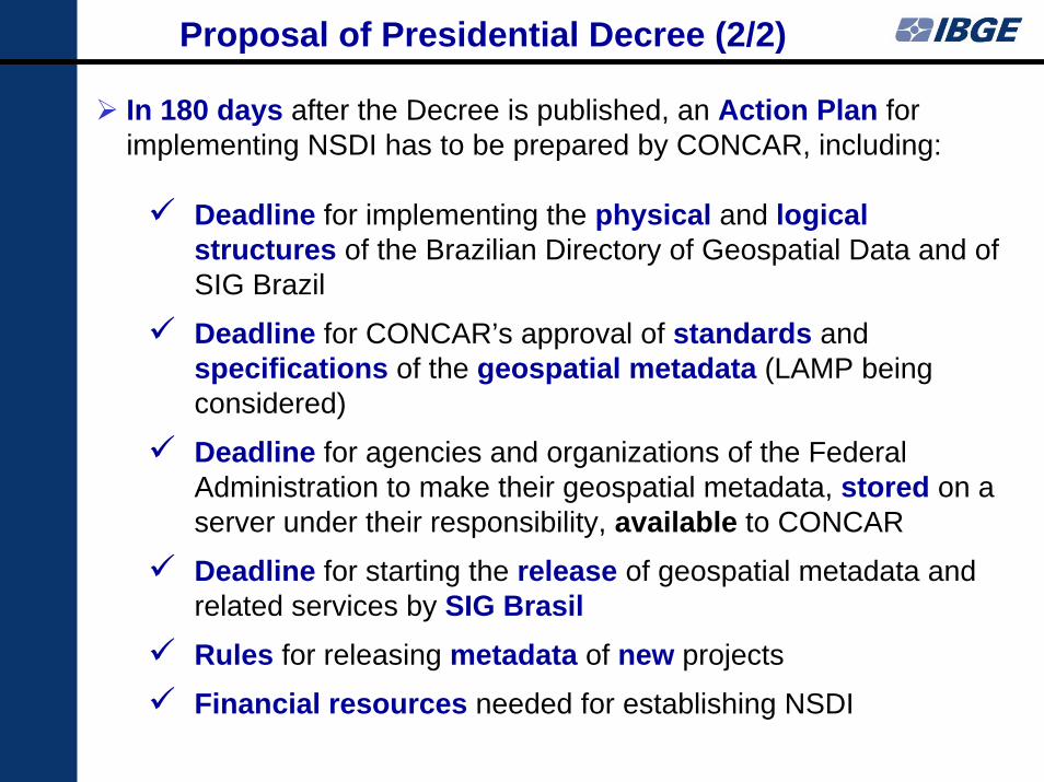
In 180 days after the Decree is published, an Action Plan for implementing NSDI has to be prepared by CONCAR, including:
Deadline for implementing the physical and logical structures of the Brazilian Directory of Geospatial Data and of SIG Brazil
Deadline for CONCAR’s approval of standards andspecifications of the geospatial metadata (LAMP being considered)
Deadline for agencies and organizations of the Federal Administration to make their geospatial metadata, stored on a server under their responsibility, available to CONCAR
Deadline for starting the release of geospatial metadata and related services by SIG BrasilRules for releasing metadata of new projects
Financial resources needed for establishing NSDI
Proposal of Presidential Decree (2/2)
IBGE actions for building NSDI
IBGE is preparing the geospatial data to contribute to NSDI
Update and converting to NCD of continuous digital 1:1,000,000 and 1:250,000 scales geospatial data being contracted for the entire country (up to 18 months work)
Update and conversion to NCD of larger scale maps (1:100,000, 1:50,000, 1:25,000), when appropriate
At the same time, compose a catalogue of satellite imagery with resolution between 2.5 and 100 m of the entire country
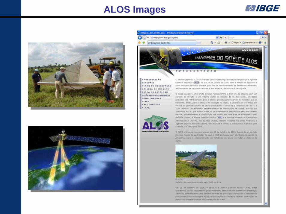
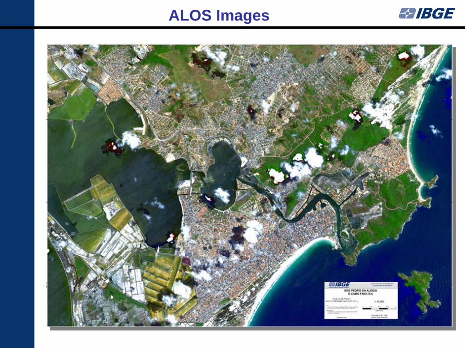
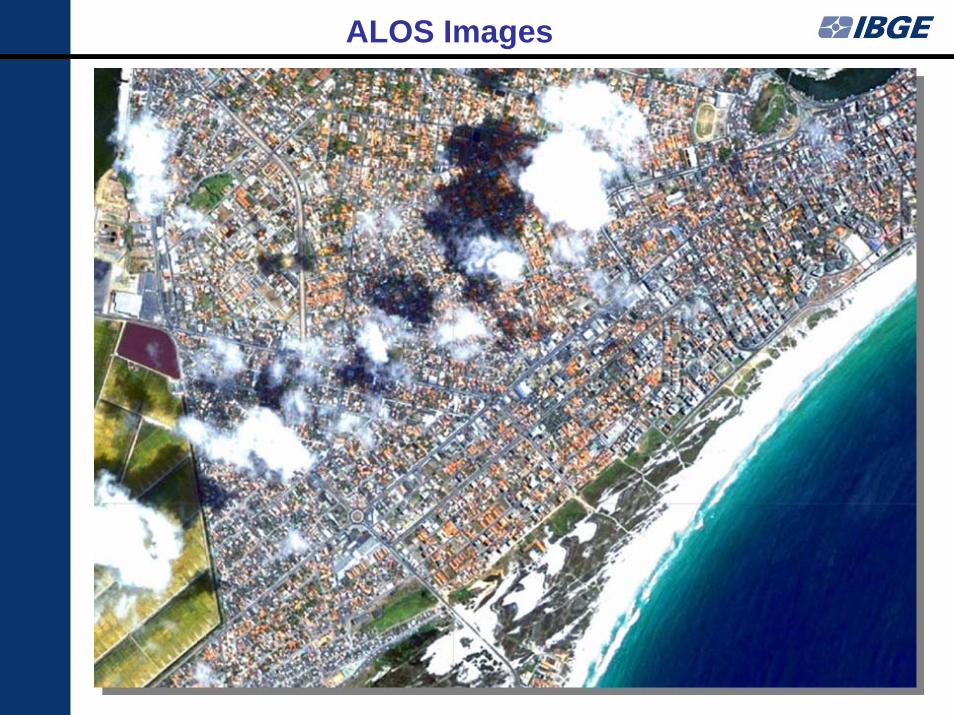
IBGE exclusively distributes ALOS satellite images for non-commercial users in Brazil
Note: The census maps that will be prepared to the Census 2010, with intensive use of satellite imagery,
will be a rich collection for the construction of SDI
Note: The census maps that will be prepared to the Census 2010, with intensive use of satellite imagery,
will be a rich collection for the construction of SDI
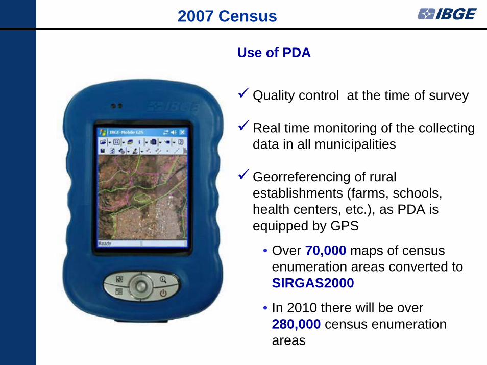
2007 Census
Use of PDA
Quality control at the time of survey
Real time monitoring of the collecting data in all municipalities
Georreferencing of rural establishments (farms, schools, health centers, etc.), as PDA is equipped by GPS
• Over 70,000 maps of census enumeration areas converted to SIRGAS2000
• In 2010 there will be over 280,000 census enumeration areas
ALOS Images
ALOS Images
ALOS Images
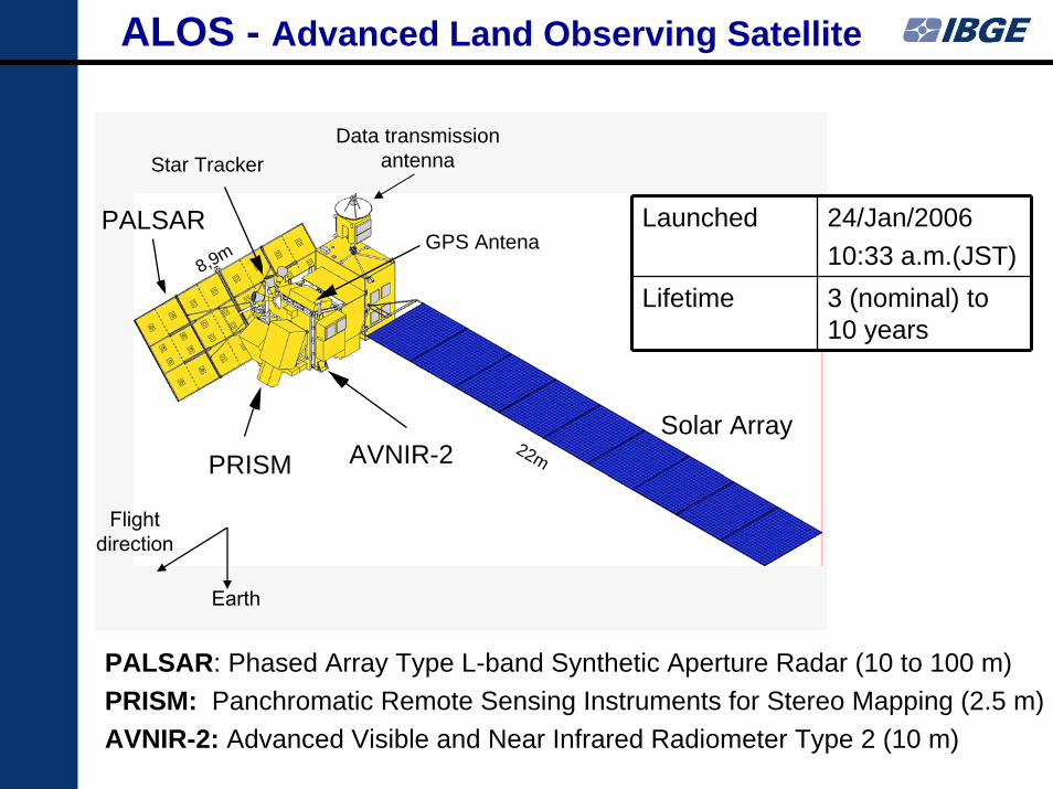
PRISM AVNIR-2
PALSAR
Data transmission antenna
Solar Array
Star Tracker
Flight direction
Earth
GPS Antena
22m
8,9m
ALOS - Advanced Land Observing Satellite
PALSAR: Phased Array Type L-band Synthetic Aperture Radar (10 to 100 m)PRISM: Panchromatic Remote Sensing Instruments for Stereo Mapping (2.5 m)AVNIR-2: Advanced Visible and Near Infrared Radiometer Type 2 (10 m)
Launched 24/Jan/2006 10:33 a.m.(JST)
Lifetime 3 (nominal) to 10 years
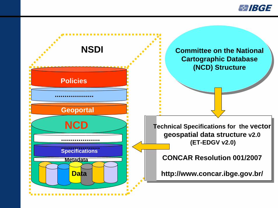
NSDI
NCD
Specifications
Policies
Geoportal
Metadata
....................
....................
....................
Data
Committee on the National Cartographic Database
(NCD) Structure
Technical Specifications for the vector geospatial data structure v2.0
(ET-EDGV v2.0)
CONCAR Resolution 001/2007
http://www.concar.ibge.gov.br/
• Integrating statistical data into NSDI opens new horizons, based on the possibility of correlating this data with all other data layers, like the ones related to natural resources and the environment
• The new web based technologies allow NSOs to produce Census Mapping in a full digital way, integrating maps, enumeration areas boundaries graphic and text files, and addresses file
• The current availability of low cost high resolution orbital and aerial imagery can help updating the Census Maps
• The NSOs efforts need to comply with NSDI, which is achievable by following the SDI National Authority Standards – many of which should adhere to the Open Geospatial Consortium standards; by doing this, all geospatial information generated in Census Mapping can be made available through the NSDI
Final Remarks
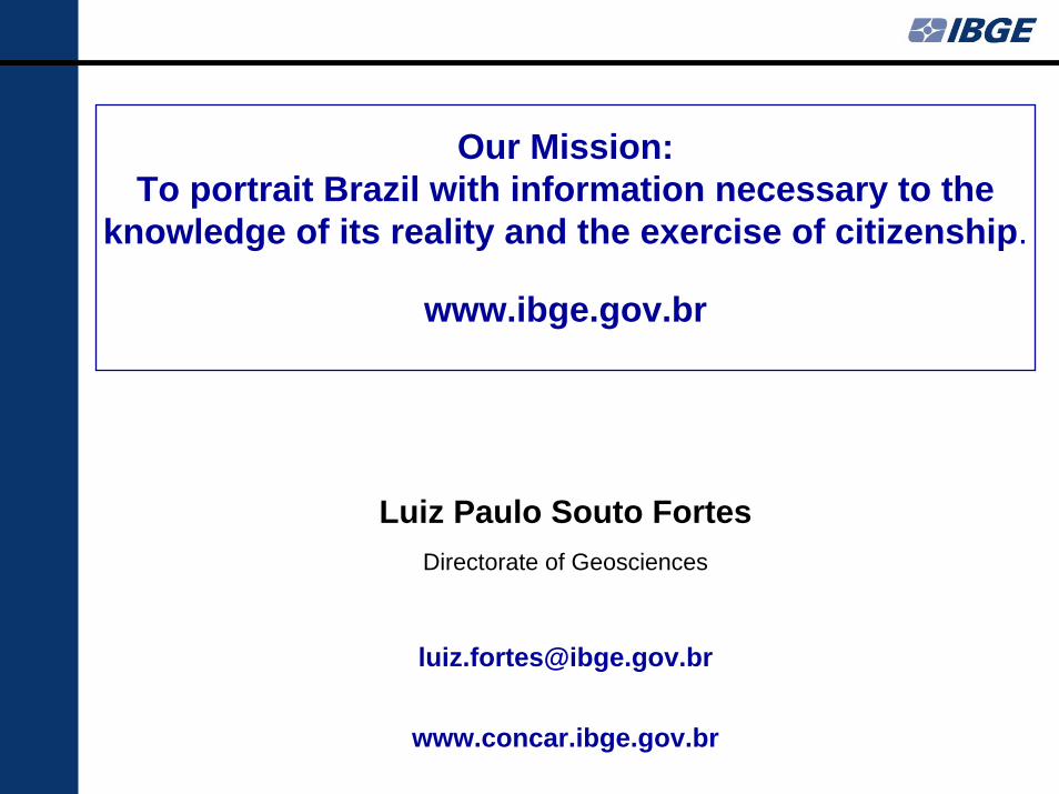
Our Mission:To portrait Brazil with information necessary to the
knowledge of its reality and the exercise of citizenship.