23
activities supporting national GHG inventory Mapping in six ESA countries by Phoebe Oduor
| Date post: | 28-Dec-2015 |
| Category: |
Documents |
| Upload: | darrell-pearson |
| View: | 217 times |
| Download: | 2 times |
U.S. EPA African activities supporting national GHG
inventory Mapping in six ESA countries
by
Phoebe Oduor
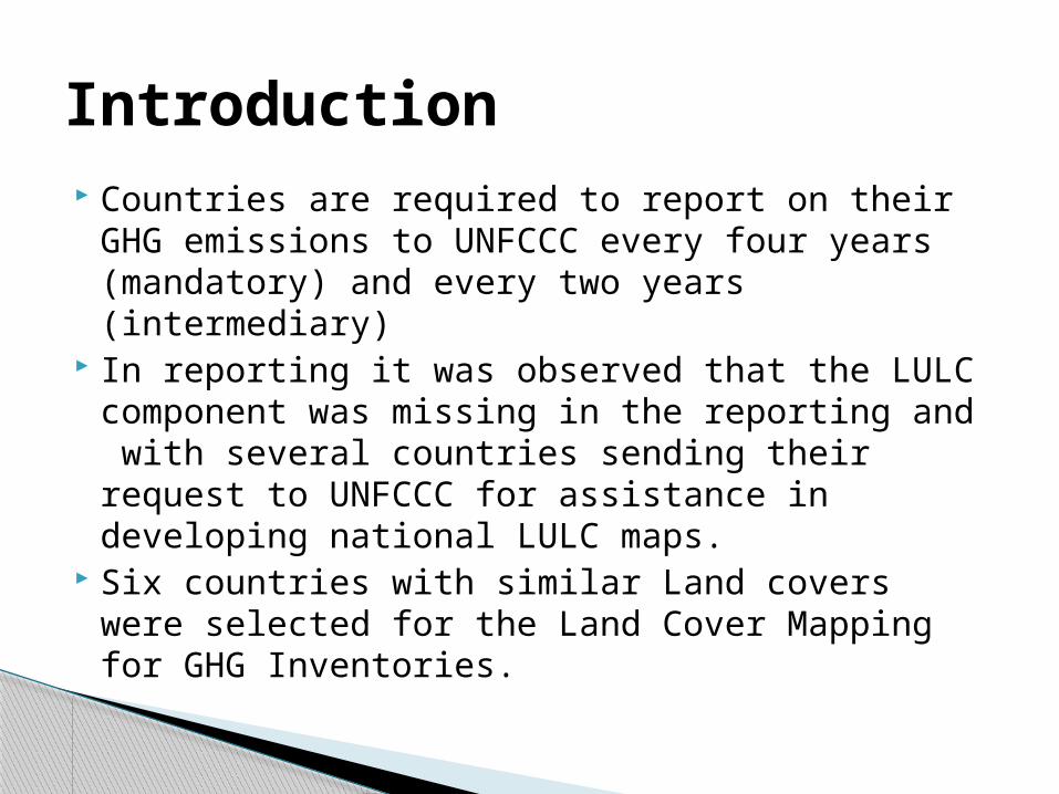
Countries are required to report on their GHG emissions to UNFCCC every four years (mandatory) and every two years (intermediary)
In reporting it was observed that the LULC component was missing in the reporting and with several countries sending their request to UNFCCC for assistance in developing national LULC maps.
Six countries with similar Land covers were selected for the Land Cover Mapping for GHG Inventories.
Introduction
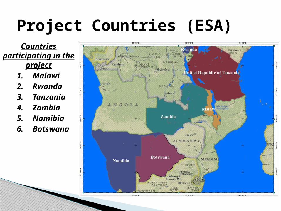
Project Countries (ESA)Countries
participating in the project
1. Malawi2. Rwanda3. Tanzania4. Zambia5. Namibia6. Botswana
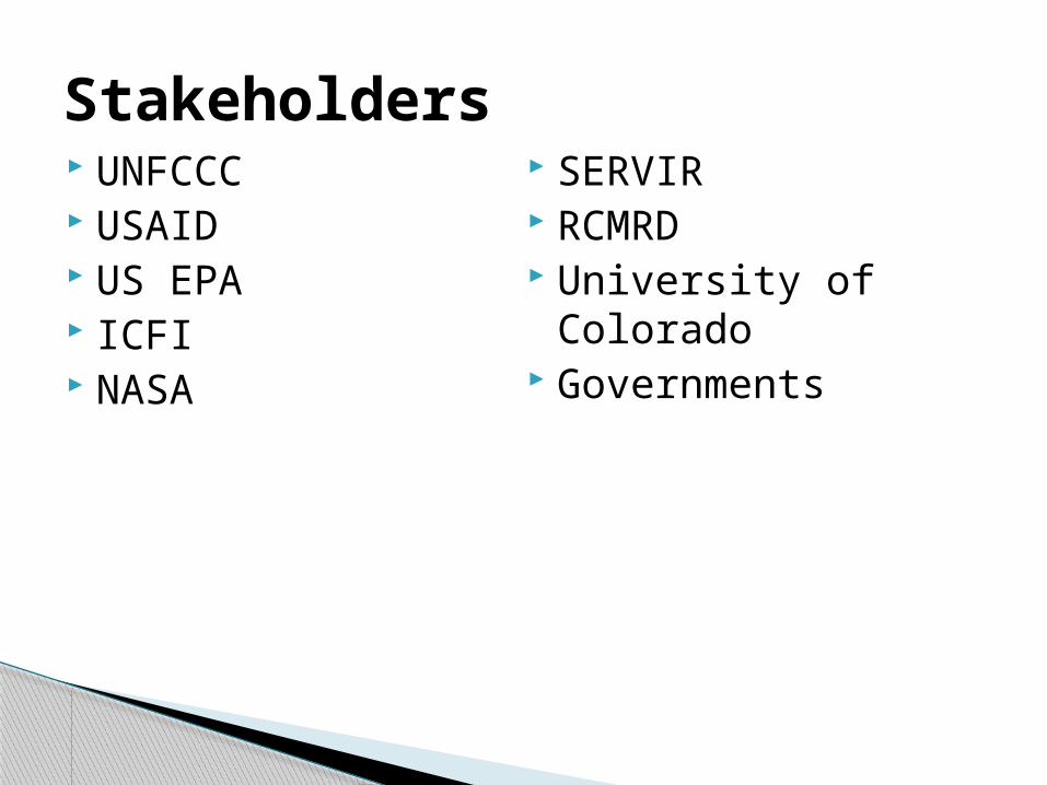
UNFCCC USAID US EPA ICFI NASA
SERVIR RCMRD University of Colorado Governments
Stakeholders
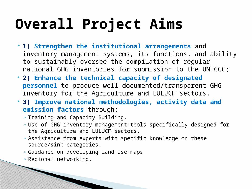
1) Strengthen the institutional arrangements and inventory management systems, its functions, and ability to sustainably oversee the compilation of regular national GHG inventories for submission to the UNFCCC;
2) Enhance the technical capacity of designated personnel to produce well documented/transparent GHG inventory for the Agriculture and LULUCF sectors.
3) Improve national methodologies, activity data and emission factors through:◦ Training and Capacity Building.◦ Use of GHG inventory management tools specifically designed for the Agriculture and
LULUCF sectors.◦ Assistance from experts with specific knowledge on these source/sink categories.◦ Guidance on developing land use maps ◦ Regional networking.
Overall Project Aims
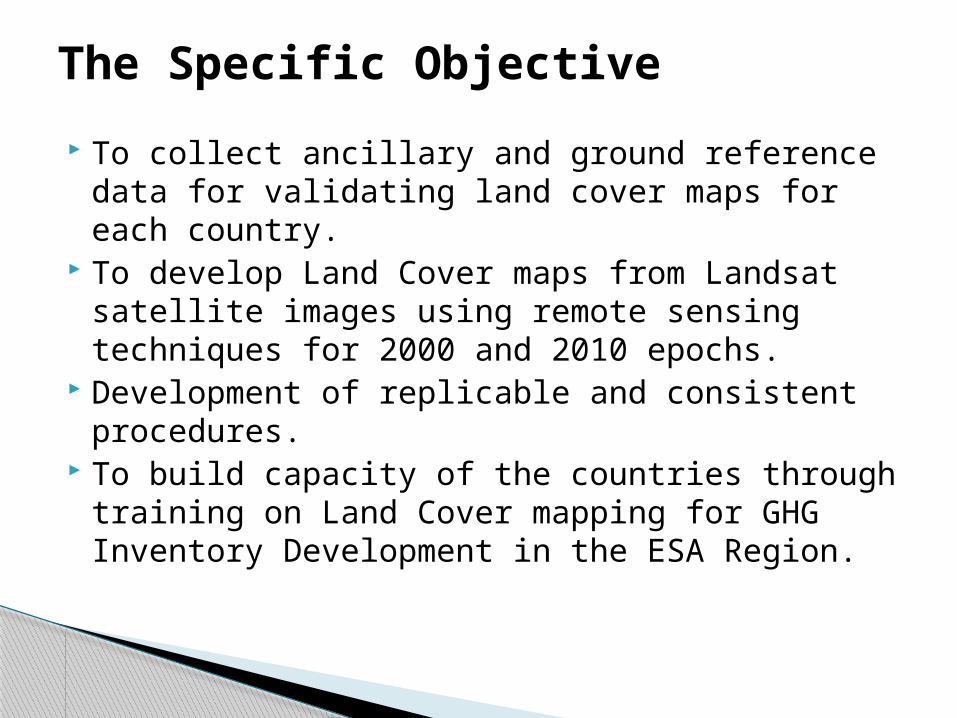
To collect ancillary and ground reference data for validating land cover maps for each country.
To develop Land Cover maps from Landsat satellite images using remote sensing techniques for 2000 and 2010 epochs.
Development of replicable and consistent procedures. To build capacity of the countries through training on
Land Cover mapping for GHG Inventory Development in the ESA Region.
The Specific Objective
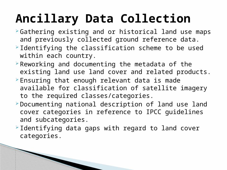
Gathering existing and or historical land use maps and previously collected ground reference data.
Identifying the classification scheme to be used within each country.
Reworking and documenting the metadata of the existing land use land cover and related products.
Ensuring that enough relevant data is made available for classification of satellite imagery to the required classes/categories.
Documenting national description of land use land cover categories in reference to IPCC guidelines and subcategories.
Identifying data gaps with regard to land cover categories.
Ancillary Data Collection
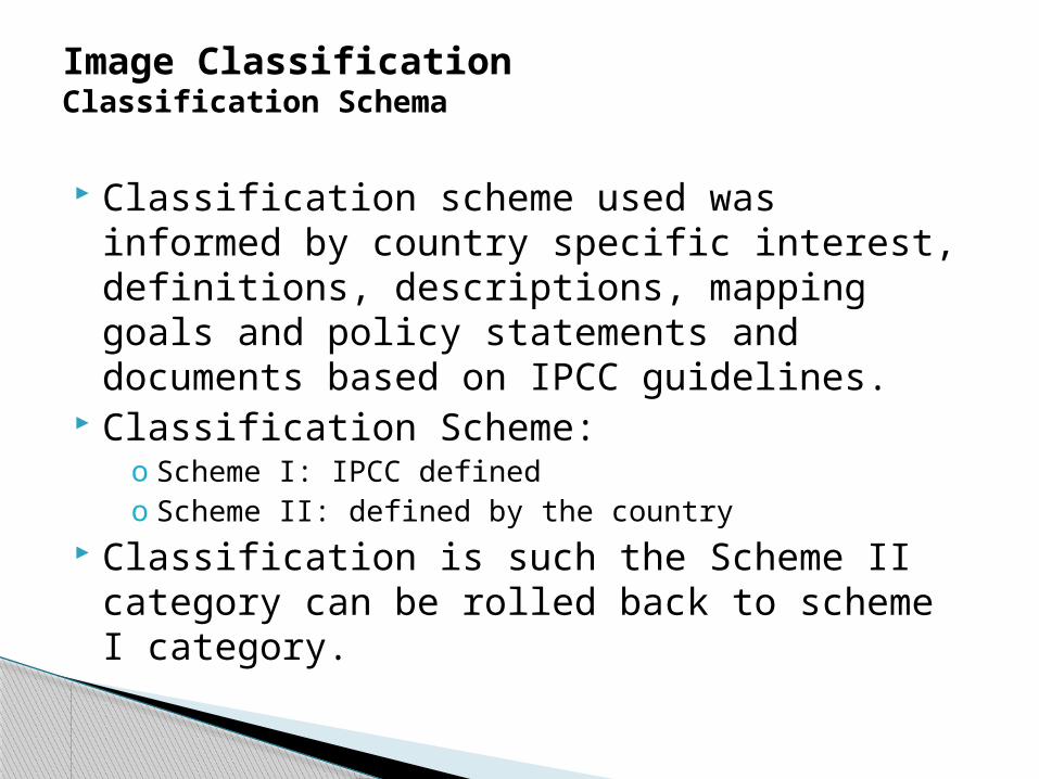
Classification scheme used was informed by country specific interest, definitions, descriptions, mapping goals and policy statements and documents based on IPCC guidelines.
Classification Scheme:o Scheme I: IPCC definedo Scheme II: defined by the country
Classification is such the Scheme II category can be rolled back to scheme I category.
Image ClassificationClassification Schema
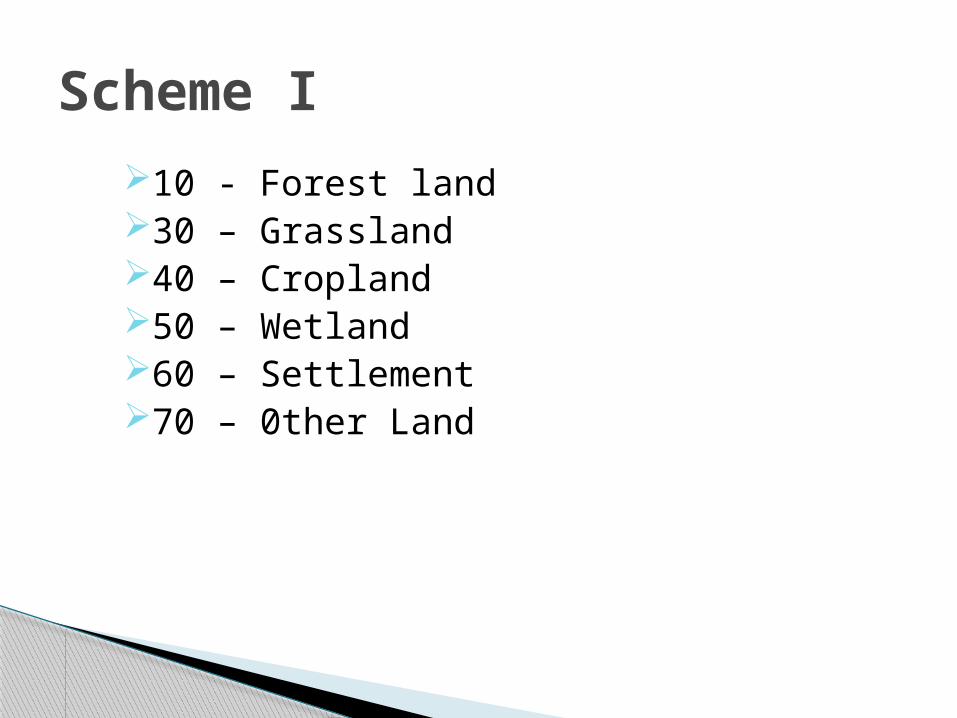
10 - Forest land30 – Grassland40 – Cropland50 – Wetland60 – Settlement70 – 0ther Land
Scheme I
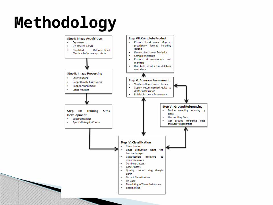
Methodology
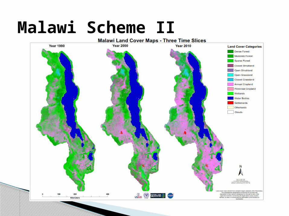
Malawi Scheme II
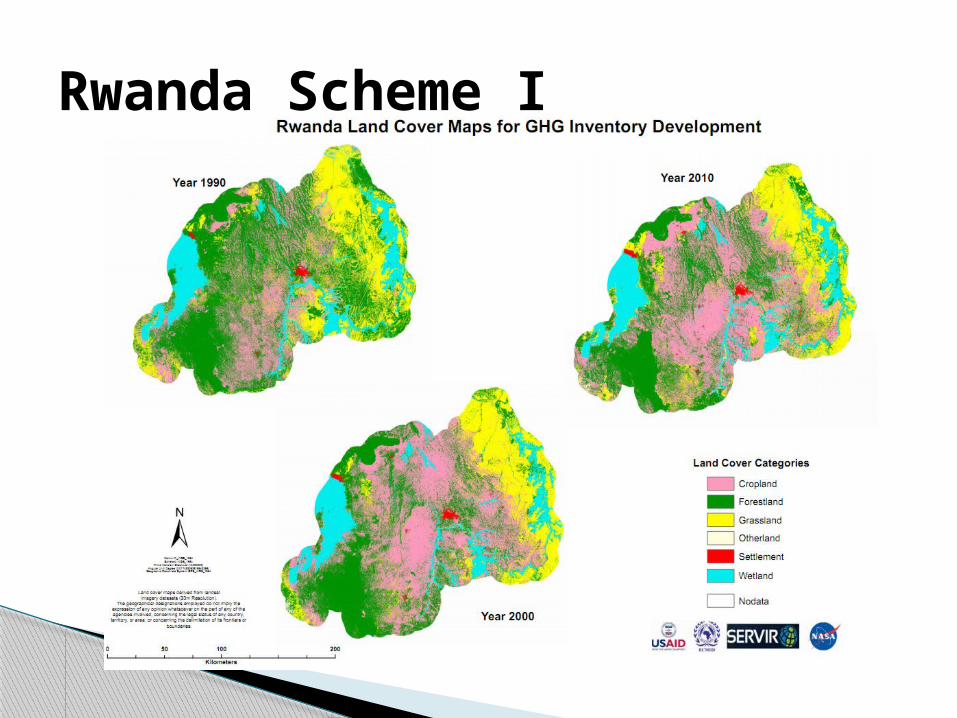
Rwanda Scheme I
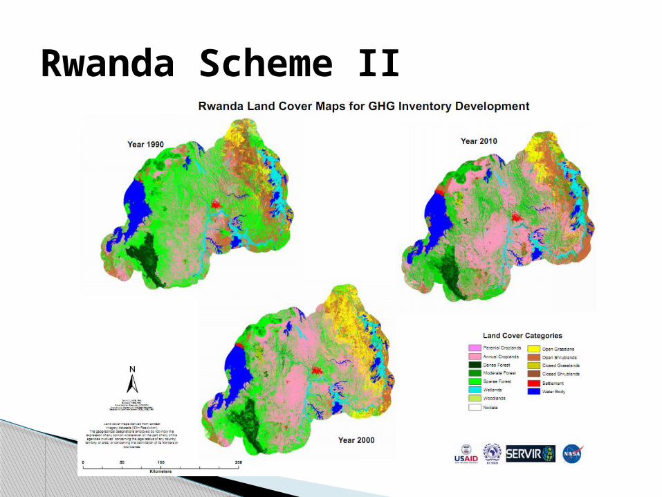
Rwanda Scheme II
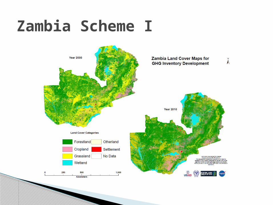
Zambia Scheme I
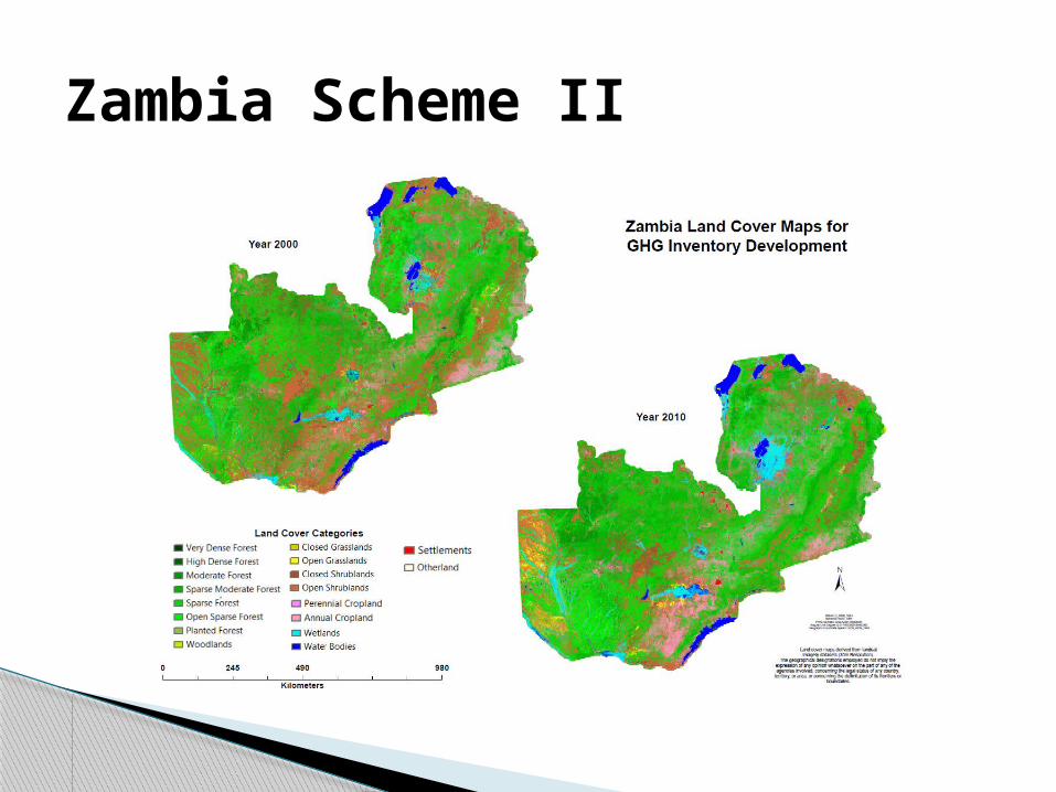
Zambia Scheme II
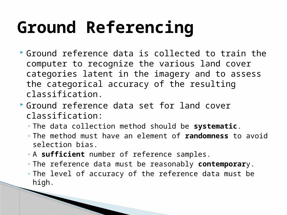
Ground reference data is collected to train the computer to recognize the various land cover categories latent in the imagery and to assess the categorical accuracy of the resulting classification.
Ground reference data set for land cover classification:◦ The data collection method should be systematic.◦ The method must have an element of randomness to avoid
selection bias. ◦ A sufficient number of reference samples. ◦ The reference data must be reasonably contemporary.◦ The level of accuracy of the reference data must be high.
Ground Referencing
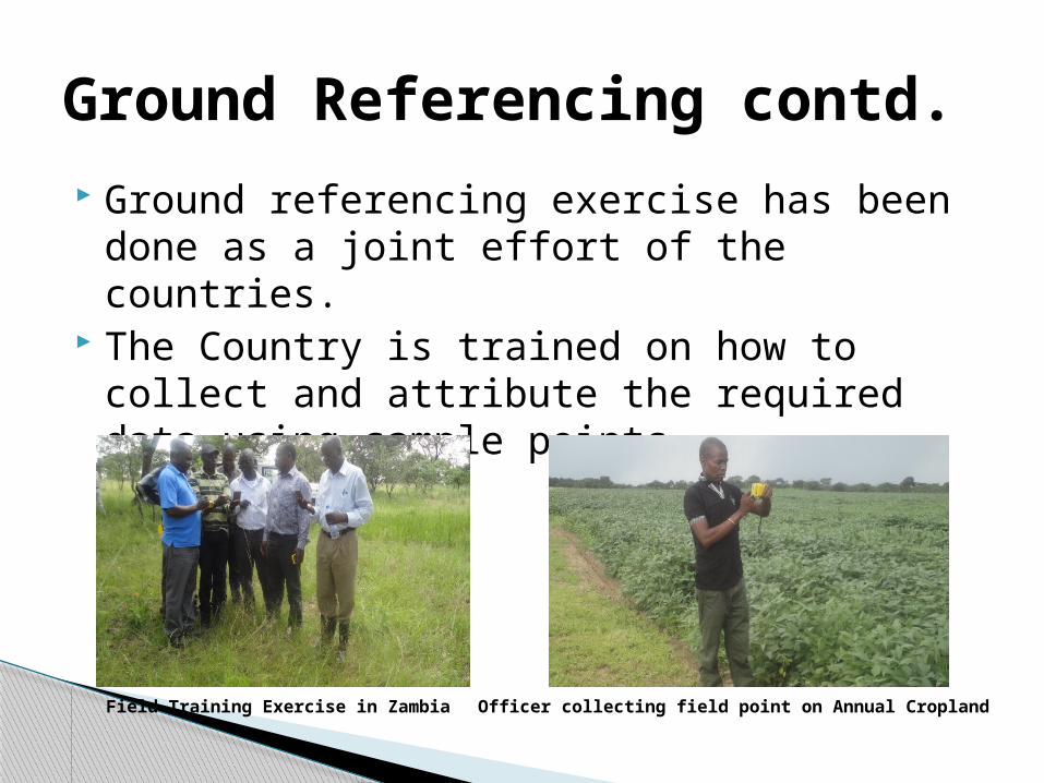
Ground referencing exercise has been done as a joint effort of the countries.
The Country is trained on how to collect and attribute the required data using sample points.
Ground Referencing contd.
Field Training Exercise in Zambia Officer collecting field point on Annual Cropland
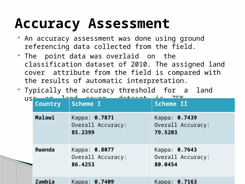
An accuracy assessment was done using ground referencing data collected from the field.
The point data was overlaid on the classification dataset of 2010. The assigned land cover attribute from the field is compared with the results of automatic interpretation.
Typically the accuracy threshold for a land use or land cover dataset is 75%.
Accuracy Assessment
Country Scheme I Scheme II
Malawi Kappa: 0.7871Overall Accuracy: 85.2399
Kappa: 0.7439Overall Accuracy: 79.5203
Rwanda Kappa: 0.8077Overall Accuracy: 86.4253
Kappa: 0.7643Overall Accuracy: 80.0454
Zambia Kappa: 0.7409Overall Accuracy: 80.415
Kappa: 0.7163Overall Accuracy: 75.5167
This is one of the core objectives of this project to enhance continuity and sustainability for continuous GHG inventorying.
On the job training is conducted for a period of two weeks. Countries are encouraged to support the capacity building by facilitating for
more people to attend the training. Zambia for instance through funding from FAO Zambia enabled three more
people to participate in the training. The Botswana Government through various ministries: Survey and
Mapping, Town and Regional Planning and the Ministry for Agriculture have been able to fund 8 more people to participate in the Capacity Building.
Countries that have been trained do far: ◦ Malawi and Rwanda◦ Zambia◦ Botswana and Namibia (Ongoing)
Capacity building
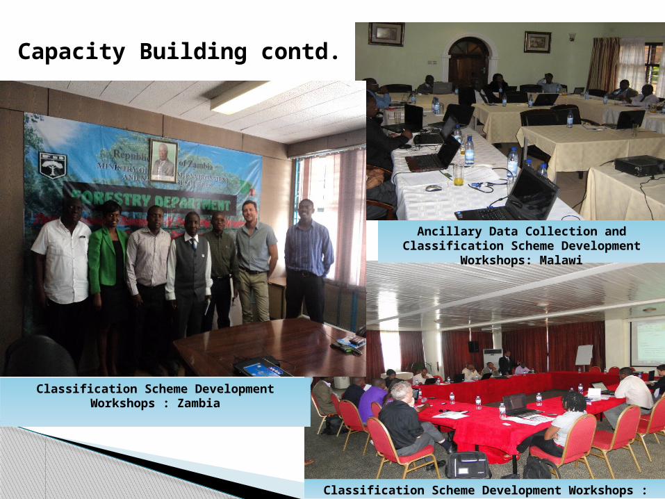
Capacity Building contd.
Ancillary Data Collection and Classification Scheme Development Workshops: Malawi
Classification Scheme Development Workshops : Rwanda
Classification Scheme Development Workshops : Zambia
This project has been able to deliver Scheme I and Scheme II Land Cover maps for the epochs of 2010 and 2000 for: Malawi, Rwanda, Zambia so far.
Namibia work is on progress. Botswana and Tanzania are yet to be done. Maps for 1990 epoch are also available for Malawi and
Rwanda and Zambia. The 1990 epoch for Zambia was developed by the Zambians.
A reliable methodology for Land use Land cover mapping has been developed that is consistent and replicable.
Conclusion
Through capacity building the continuity of successive land cover mapping has been achieved.
Land Cover maps produced are envisaged to be used as an input in the ALU tool (Agriculture Land Use tool).
ALU tool uses an empirical formula to determine the GHG emissions for a country using activity data from different sectors: Agriculture, Transport, Industrial, Energy and Waste. And using Land cover maps as baseline data.
Conclusion contd.
Extension of GHG land cover mapping to include more countries.
A reconnaissance exercise which was not supported due to budgetary limitations should be included.
Extensive field work to ensure that most of the country is covered for more reliable accuracy assessment.
Development of Scheme III Land use Land cover maps.
Recommendations


