23
Class 9a: Political Geography II • Reapportionment and redistricting • Gerrymandering • Local politics
| Date post: | 20-Dec-2015 |
| Category: |
Documents |
| View: | 216 times |
| Download: | 1 times |
Class 9a: Political Geography II
• Reapportionment and redistricting
• Gerrymandering
• Local politics
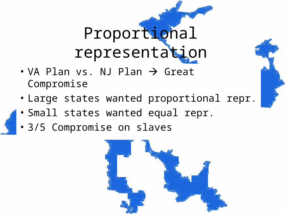
Proportional representation
• VA Plan vs. NJ Plan Great Compromise
• Large states wanted proportional repr.
• Small states wanted equal repr.
• 3/5 Compromise on slaves
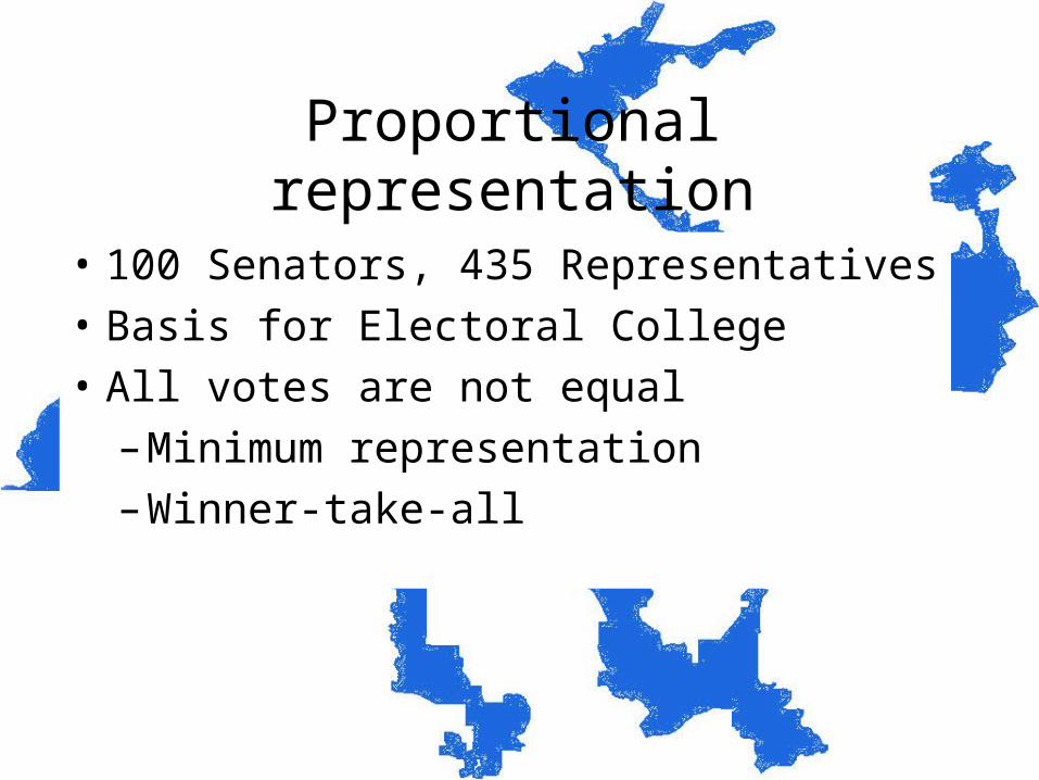
Proportional representation
• 100 Senators, 435 Representatives
• Basis for Electoral College
• All votes are not equal
– Minimum representation
– Winner-take-all
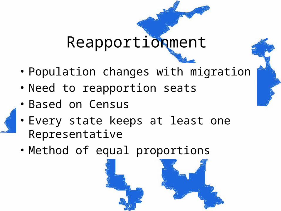
Reapportionment
• Population changes with migration
• Need to reapportion seats
• Based on Census
• Every state keeps at least one Representative
• Method of equal proportions
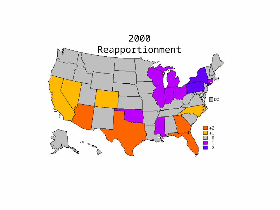
2000 Reapportionment
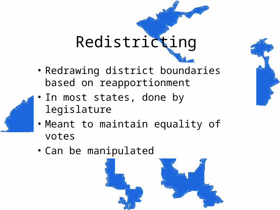
Redistricting
• Redrawing district boundaries based on reapportionment
• In most states, done by legislature
• Meant to maintain equality of votes
• Can be manipulated
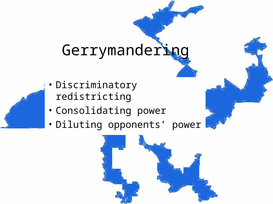
Gerrymandering
• Discriminatory redistricting
• Consolidating power
• Diluting opponents’ power
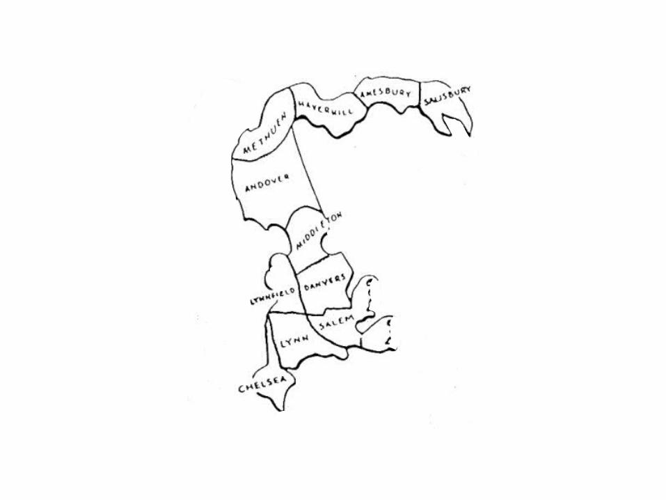
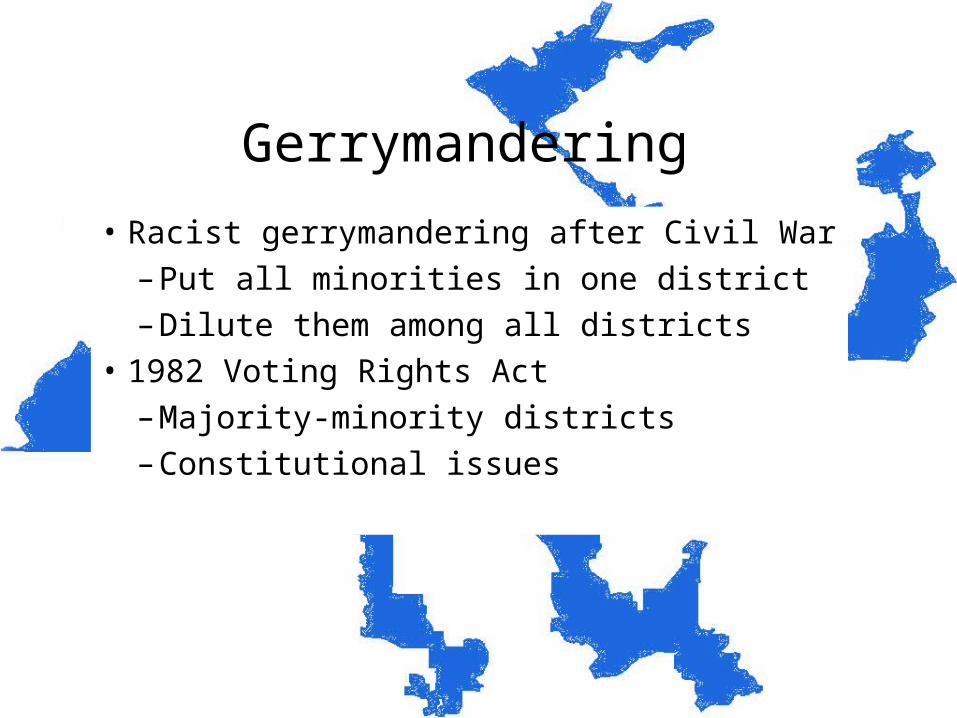
Gerrymandering
• Racist gerrymandering after Civil War
– Put all minorities in one district
– Dilute them among all districts
• 1982 Voting Rights Act
– Majority-minority districts
– Constitutional issues
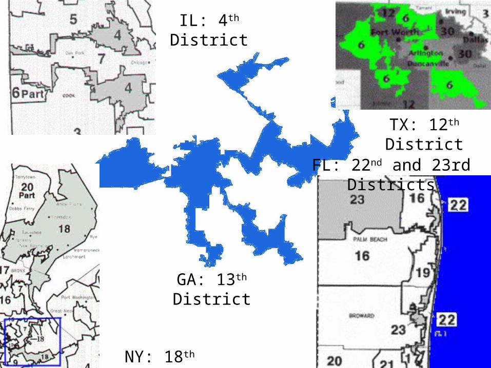
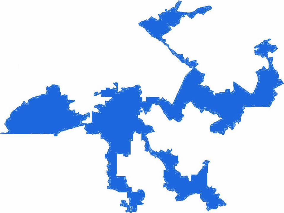
IL: 4th District
NY: 18th District
TX: 12th District
FL: 22nd and 23rd Districts
GA: 13th District
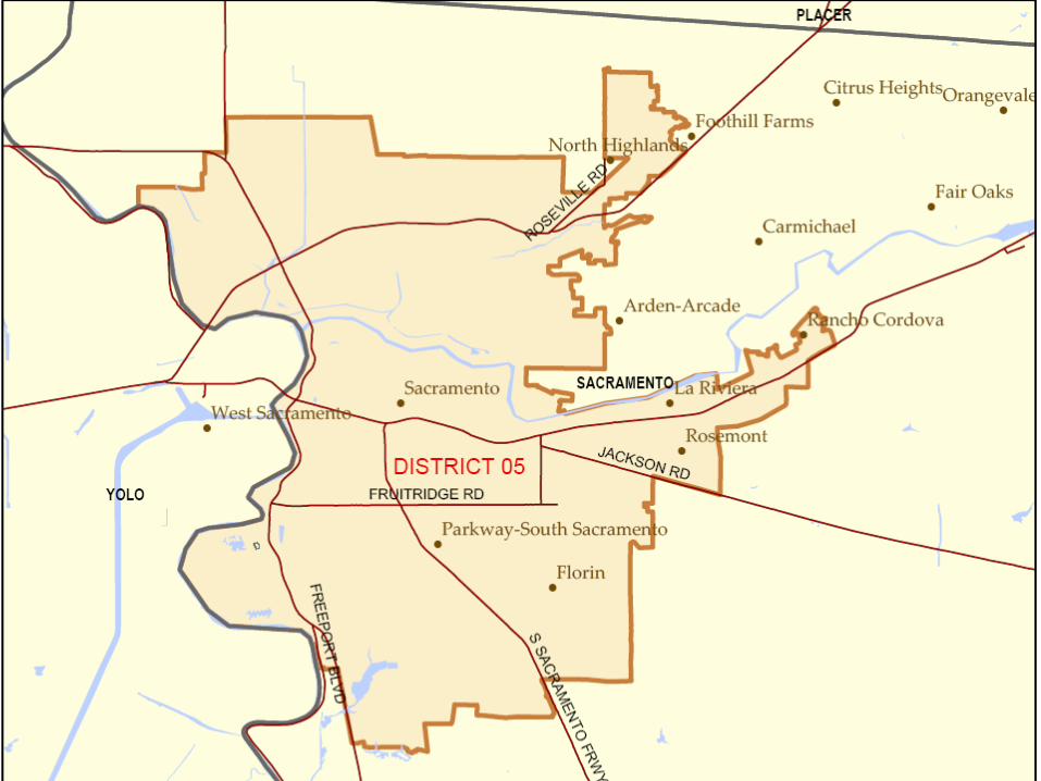
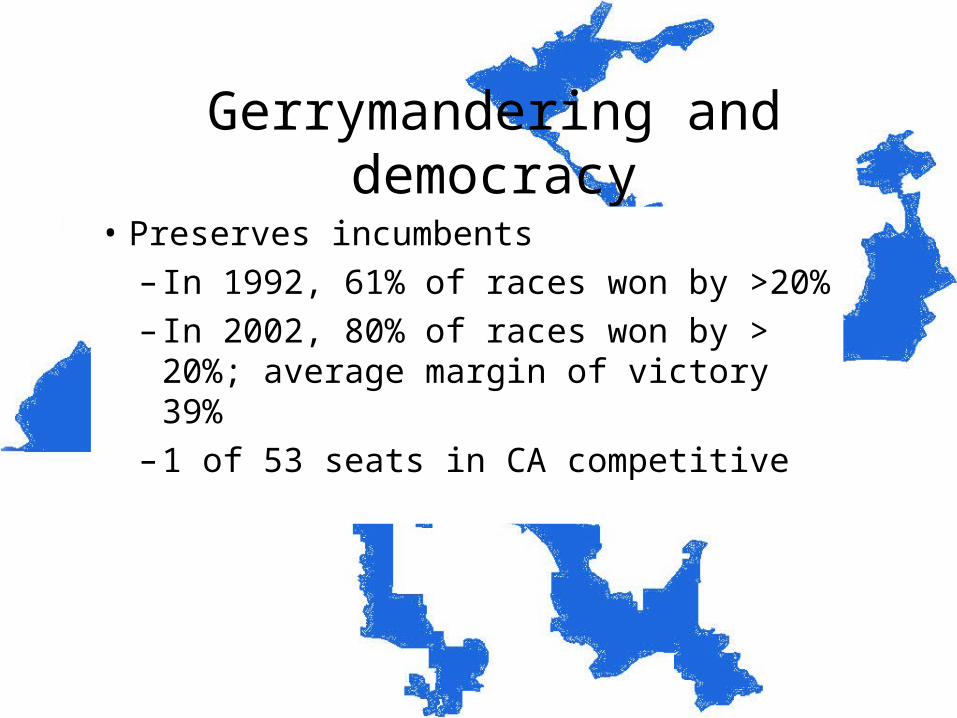
Gerrymandering and democracy
• Preserves incumbents
– In 1992, 61% of races won by >20%
– In 2002, 80% of races won by > 20%; average margin of victory 39%
– 1 of 53 seats in CA competitive
Gerrymandering and democracy
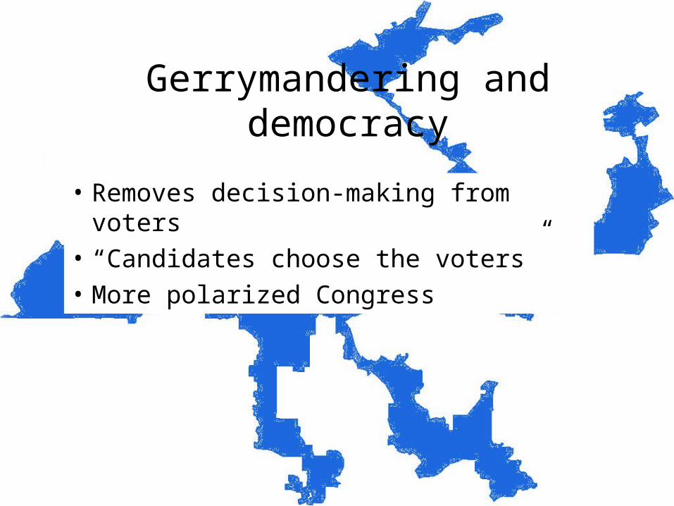
• Removes decision-making from voters
• “Candidates choose the voters”
• More polarized Congress

Local politics
• Hierarchy of jurisdictions
• Special-purpose districts
• Local governments and urban sprawl
Hierarchy of jurisdictions
• First order divisions
– Largest units within a state
– Provinces, states, oblasts, prefectures
– Unitary vs. federal
Hierarchy of jurisdictions
• Second order divisions
– Counties, townships, parishes, boroughs
– 3000 in US; from 24 to 20,000 miles2 and from 100 to 8 million residents
• Functions depend on the state
– Law enforcement, highways, taxes, statistics, welfare, elections
Hierarchy of jurisdictions
• Minor civil divisions
– Townships, cities, villages
• Land use and zoning
• Growth by annexation
Special purpose districts
• Consequence of federal system
• Territory and organization for one purpose
• Fire, water, flood control, mosquito control, irrigation, etc.
• Over 35,000 in 2002
School districts
• Land granted to new territories (1 section per township)
• Land grant colleges
• Historically, little federal input
• Over 15,000 in 2002
• Funding depends on local tax income
Urban sprawl
• Too much local decision-making
• Each MCD acts in its own interests
– Maximize tax revenue
– Minimize need for services
• Reluctance for regional government


