12
Cloud Types Chapter 11, Section 3
| Date post: | 30-Dec-2015 |
| Category: |
Documents |
| Upload: | colt-ellis |
| View: | 33 times |
| Download: | 0 times |
Cloud Types
Chapter 11, Section 3

Clouds are classified according to their height above and appearance (texture) from the ground.
• The following terms are used (and can be combined) to classify clouds.
• 1) Cirro-a high level cloud, means wispy (always used first, when combined)
• 2) Alto- a mid level cloud (always used first, when combined)
• 3) Stratus-means layer (used alone, as a low level cloud, or used second if it is a cirrostratus or altostratus)
• 4) Nimbo-means precipitation is coming from that cloud (nimbus if it comes second in the combination, like cumulonimbus)
• 5) Cumulo-means heap, or kind-of like cotton balls (cumulus if it comes second in the combination, like altocumulus)

Cirrus
• Thin, wispy clouds. These clouds are formed by ice crystals because they are so high up.

Cirrostratus
• Very thin sheets of clouds that cover large parts of the sky.

Cirrocumulus
• Clouds that are very high up, but look a little puffy. They may look similar to fish scales.

Altocumulus
• Mid-level cloud, kind of gray and puffy. Common on hot, humid summer days. Usually a sign that thunderstorms will follow later in the day.
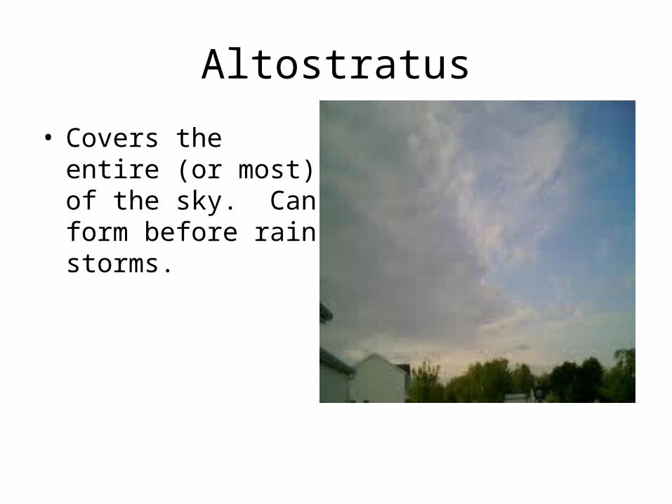
Altostratus
• Covers the entire (or most) of the sky. Can form before rain storms.

Stratus
• Low-lying, gray clouds that cover all or nearly all of the sky.
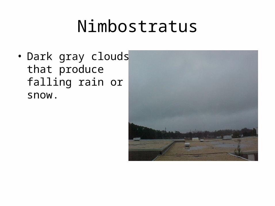
Nimbostratus
• Dark gray clouds that produce falling rain or snow.

Cumulus
• Fair weather clouds, that look like floating cotton balls.

Cumulonimbus
• Very tall, puffy, thunderstorm clouds. Produce rain, lightning, hail, and/or tornadoes.
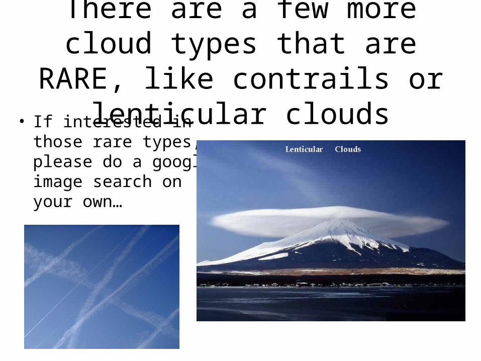
There are a few more cloud types that are RARE, like contrails or
lenticular clouds• If interested in
those rare types, please do a google image search on your own…


