Coastal Processes Rivers (Conwy) Rivers (Peris) Urban Studies Lowland Glaciation Tourism and National Parks Soils Sand Dunes Upland Glaciation Rural Settlements The Centre and Staff Fieldwork Equipment Coastal Processes Day – Criccieth Location: Criccieth lies on the south coast of the Llyn Peninsula in North Wales. This overlooks Cardigan Bay. Physical geography Criccieth Bay is an area of soft glacial tills or boulder clay which were dropped by the Welsh glaciers in the last Ice Age. On either side of the bay are two headlands composed of hard igneous rocks. The castle headland is a granite igneous intrusion, while Black Rocks or Graig Ddu is a strongly folded and faulted doleritic sill. Both of these resist erosion with only around 1mm of retreat every 100 years. The boulder clay is a weak, unconsolidated rock. This is easily eroded by storm waves and could lose up to 2 metres every 10 years. Human Geography
Lowland Glaciation Tourism and National Parks Soils Sand Dunes Upland Glaciation
Rural Settlements The Centre and Staff Fieldwork Equipment
Coastal Processes Day –
Criccieth Location:
Criccieth lies on the south coast of the Llyn Peninsula in North Wales. This overlooks Cardigan Bay.
Physical geography Criccieth Bay is an area of soft glacial tills or boulder clay which were dropped by the Welsh glaciers in the last Ice Age. On either side of the bay are two headlands composed of hard igneous rocks. The castle headland is a granite igneous intrusion, while Black Rocks or Graig Ddu is a strongly folded and faulted doleritic sill. Both of these resist erosion with only around 1mm of retreat every 100 years. The boulder clay is a weak, unconsolidated rock. This is easily eroded by storm waves and could lose up to 2 metres every 10 years.
Human Geography
With a high headland, Criccieth was an ideal defensive location to site a castle. The original castle was built by Llewelyn Fawr. By 1284 the castle had been strengthened by the English and the town granted a charter.
In 1867 the Cambrian Railway came to Criccieth allowing an influx of visitors. The Town became a Victorian tourist resort and expanded in size. Today it is still a tourist resort.
Coastal Management As a coastal resort Criccieth is vulnerable to sea level changes and to storms. It is exposed to a 4,000 km fetch across the Atlantic which means that the waves are high energy waves. The need for coastal defences was seen as early as 1927 when there was a huge storm which destroyed parts of the promenade. The railway bridge by the Moranedd cliffs was destroyed. A new hotel and apartments at Merlyn (where the car park along the promenade is) and
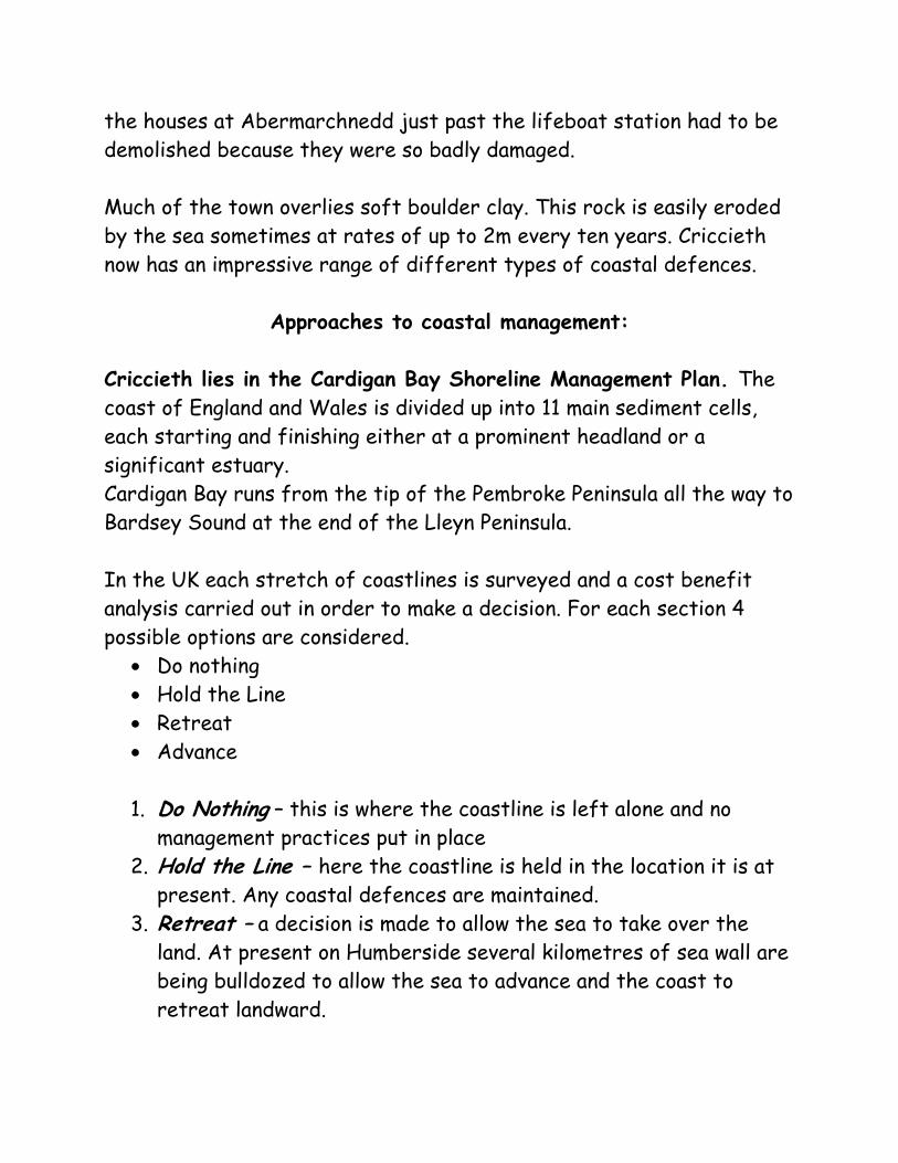
the houses at Abermarchnedd just past the lifeboat station had to be demolished because they were so badly damaged. Much of the town overlies soft boulder clay. This rock is easily eroded by the sea sometimes at rates of up to 2m every ten years. Criccieth now has an impressive range of different types of coastal defences.
Approaches to coastal management:
Criccieth lies in the Cardigan Bay Shoreline Management Plan. The coast of England and Wales is divided up into 11 main sediment cells, each starting and finishing either at a prominent headland or a significant estuary. Cardigan Bay runs from the tip of the Pembroke Peninsula all the way to Bardsey Sound at the end of the Lleyn Peninsula.
In the UK each stretch of coastlines is surveyed and a cost benefit analysis carried out in order to make a decision. For each section 4 possible options are considered.
• Do nothing • Hold the Line • Retreat • Advance
1. Do Nothing – this is where the coastline is left alone and no
management practices put in place 2. Hold the Line – here the coastline is held in the location it is at
present. Any coastal defences are maintained. 3. Retreat – a decision is made to allow the sea to take over the
land. At present on Humberside several kilometres of sea wall are being bulldozed to allow the sea to advance and the coast to retreat landward.
4. Advance – new sea defences are built. The new coastline may even advance further out to sea pushing the sea backwards. Examples could include a new sea wall, or groynes or off-shore reef.
For each of these options a cost-benefit analysis is carried out. This looks at the cost of each sea defence, and the cost to the area if the scheme was not put in place. A decision is then made. At the moment a Hold-the-line policy is recommended for the town of Criccieth, whilst a Do-Nothing policy is recommended for the section lying between the boulder clay cliff and Black Rocks. Although total costs of defences used to be recorded, now it is far more common for Shoreline Management Plans to state the cost per metre of coastline per defence, for example, a revetment costs around £1, 000 per metre, , an offshore breakwater around, £2 000 per metre, a recurved seawall would be costed at around £6,000 per metre.
Revetments These were built in 1997 and protect houses and shops on the old town high street. Coastal protection in this site originates from 1965 when there were bullhead steel rails and rock armour infill at a cost of £6.300. From 1986 this area was protected by gabions; wire cages, containing rocks around 3-4m in diameter. This cost £11,600. However, large waves were able to break over the top of these and the cliff was still eroded. In addition the clay was wet by the waves and so slumped into the sea below. Retreat was at rates of 2m every 10 years (quick rates for a ‘protected’ coast!)
Revetments and rip-rap toe armour at the west end of Criccieth’s shore.
orton)
how
ph: Helen orton)
(Photograph: Helen M
Close up of revetment at Criccieth. Note the wooden planks covering metal gridCovering pebbles. (PhotograM
The revetment is composed of a grid of wooden planking. Behind this are stones of around 5cm in diameter. This structure holds the cliff in place but allows the saturated clay to drain thus preventing slumping and mass movement. As a result there should be no repeat of the Holbeck Hall type incident from the Yorkshire coast. Revetments by themselves are not a huge protection against the power of the waves. They only prevent sub-aerial processes from taking effect. So they are reinforced by rip-rap at the base. This kind of defence is also sometimes referred to as a timber crib wall. Cost in 1997: £350,000 Rip-rap This consists of massive stones, mostly over 1m in diameter. These rocks have been imported from Norway. The idea is that these rocks break up the force of the waves, dissipating the energy so protecting the cliff from marine processes. The cost of these 2 measures in 1997 was £271,000 for an 80m stretch of coastline. The benefit was around £500, 000 with a road, historic housing and a shop being protected. The cost is around £1,000 to £3,000 per boulder depending on the size. If a Do-nothing policy was implemented for this section of the coastline, it is reckoned that the armour stone toe will fail within the next ten years if this is the case. Once exposed, the Crib wall will also fail.
Groynes West beach groynes: On the west side of the castle headland there is a series of groynes protecting the beach sands. These were originally built in the late 1800’s and rebuilt between 1963 – 1965. They had to have major repair work in 1999. Cost: 1963-65 : £14,500 1999: £20,000. Their main purpose is for beach nourishment to encourage the entrapment of sand. As a coastal resort, Criccieth needs a decent beach to encourage tourists. However, beaches also absorb wave energy
and so protect the land behind.
he series of groynes Ton the west beach of Criccieth.
East beach groynes: Within Criccieth Bay at the east end of the beach (far end from the castle), there are two groynes. One of these is
.
n one side of the
feet
ton)
large and very successful at trapping sediment Cost in 1963-65: £10,000
Ogroyne the beach deposits are eight higher than the beach on the other side. (photograph: Helen Mor
Breakwater
his was built in the early 1900s to protect the launching slipway for d
to be rebuilt in the 1960s.
Tthe lifeboat station. It has the effect of creating an area of shelterewater to the east of it, turning destructive waves into constructive waves. It had
Present cost : over £500,000 ictorian Sea Wall
his was originally built in the late 1800’s. It had to be rebuilt in 1963-65 with a concrete toe. In 1975 new facing was added.
V T
Cost: 1963-65: £19,500 1975: £46,000 Present cost: £4,000 per metre
ecurved sea wall
e area and the buildings here were destroyed in the 27 storm. As a result the land use is very different with open space
old has been replaced by reinforced concrete and
cing the force on the
250,000 £ 6,000 per metre.
atural Sea Defences
defences, there are also some natural sea efences along this stretch of coastline.
R This is the esplanad19and carparking. (a similar approach of land-use zoning as in flood management on rivers). This wall replaces the original Victorian Sea wall. The base of thewall remains, but the topa curve rather than a straight, vertical wall. The idea is that the wall reflects the energy of the wave back into incoming waves, so breaking them up and reducoast. Cost: £Present cost:
N As well as the manmade d
Just to the east of the seafront café and car park are some unmanaged
es
he boulder clay
etween Black Rocks or Craig Ddu and Criccieth a large shingle bank
und
boulder clay cliffs. These drop large boulders as they are eroded backwards. The blocks are too heavy to be moved easily be the wavand so remain in situ on the shore as the cliff retreats. They act to break up wave energy so protecting the cliff to a certain extent.
Tcliff at Merllyn Mawr, Criccieth.Note the large boulder at the base. Photograph: Helen Morton
Bhas formed. This could have been as a result of rising sea levels afterthe Ice Age, when large storm waves combed up material from the sea bed and deposited it. (Very similar to the way that Chesil Beach formed). Behind the bank lies a low-lying marshy hinterland whichoriginally would have been a bay. You can see the original cliffs arothe side of this bay.
View from the top of Graig Ddu back across a former coastal inlet. This inlet was cut off fromthe sea by what is probably an offshore bar which formed to long shore drift and s
due
ea
ph: Helen orton)
hysical Features:
erllyn cliffs
s. A sequence of geographical processes over time an be seen here.
level rise. (PhotograM
P M This has been designated as an SSSI. The cliff shows a profile of Pleistocene depositc
These cliffs are composed mainly of Boulder Clay deposits. This meansthey are unconsolidated; loose, un-cemented in structure. As a rthey are easily eroded by the sea at the foot, and by subaerial
esult,
rocesses from above. The clay ‘slumps’ or collapses into the sea.
hoto of slumping needed here.
hingle ridge
se after the Ice Age. (in the same way hat Chesil Beach was formed).
lack Rocks or Graig Ddu
are he main rock. One cave has been eroded
probably lies buried under the sands
There is a stack lying to the east of the headland.
p P S This had been formed by the 13th Century. This was probably formed as an off-shore bar as sea levels rot B This is a headland composed of doleritic sill. It has been folded and faulted due to earth movements. As a result there are many lines of weakness for waves to exploit giving rise to impressive caves. Therealso sills running through talong the line of the sill. At the base of the cliffs a wave-cut notch can be seen clearly, but there is no wave-cut platform. It which are being deposited here.
The Caves at Graig Ddu. (BlRocks). The jointing pattern isvery clear as the caves and crac