COMPLEXITY A GEOGRAPHIC “BIG IDEA” WITH MANY CONSEQUENCES IN EUROPE Complexity (of shape, geology, terrain, etc,) is a big idea that can help us understand many other geographic features in Europe, including patterns of early civilizations, empires, invasions, overseas colonization, industrial development, two World Wars, and issues facing the European Union today. .
Transcript
COMPLEXITYA GEOGRAPHIC “BIG IDEA”
WITH MANY CONSEQUENCES IN
EUROPE
Complexity (of shape, geology, terrain, etc,)is a big idea that can help us understand
many other geographic features in Europe,including patterns of early civilizations,
empires, invasions, overseas colonization,industrial development, two World Wars,
and issues facing the European Union today...
If
a continent is defined as“a large mass of land
surrounded by water,”
ThenEurope is not a continent.
We should call it asubcontinent (like South Asia).
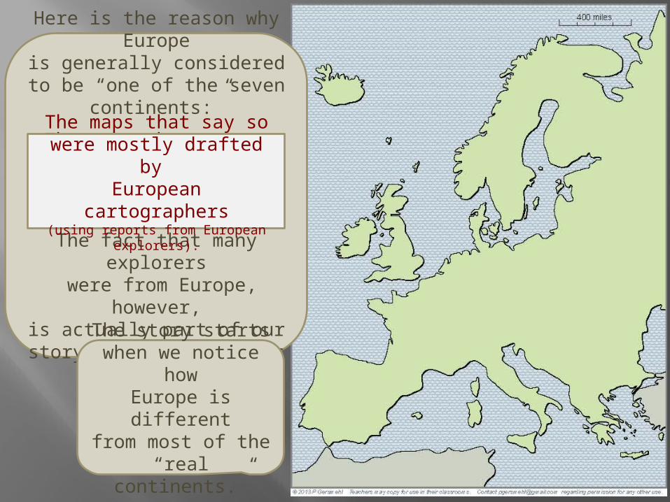
Here is the reason why Europeis generally considered to be “one of the seven continents:”
The maps that say sowere mostly drafted by
European cartographers.
The fact that many explorers were from Europe, however,is actually part of our story
about the effects of complexity!
The story startswhen we notice howEurope is differentfrom most of the“real continents.”
The maps that say sowere mostly drafted by European cartographers
(using reports from European explorers).
For one thing, its overall shape is different.
Rather than beinga compact mass of land,Europe is a big peninsulathat is made out of many
smaller peninsulas.
Definition: a peninsula is like a small nose of land (or leg, arm, finger, thumb) connected to a larger landmass on one side, and surrounded by water on the other three sides.
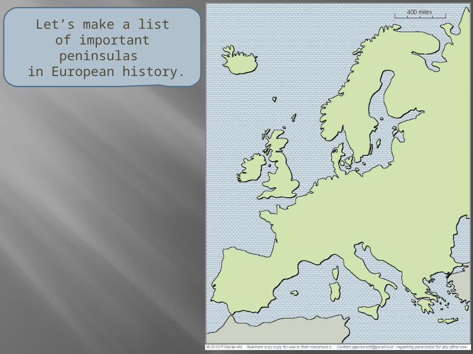
Let’s make a listof important peninsulas
in European history.
1
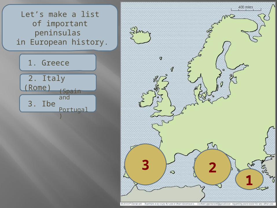
1. Greece
Let’s make a listof important peninsulas
in European history.
12
1. Greece
2. Italy (Rome)
Let’s make a listof important peninsulas
in European history.
Let’s make a listof important peninsulas
in European history.
123
1. Greece
2. Italy (Rome)
3. Iberia (Spain and Portugal)
123
4 1. Greece
2. Italy (Rome)
3. Iberia
4. Scandinavia
Let’s make a listof important peninsulas
in European history.
(Spain and Portugal)
1. Greece
1
2. Italy (Rome)
2
3. Iberia
3
4. Scandinavia
4
5. Jutland (Denmark)
Let’s stop for a momentto list important peninsulas
in European history.
5(Spain and Portugal)
1. Greece
1
2. Italy (Rome)
23
4. Scandinavia
4
5. Jutland (Denmark)
Let’s make a listof important peninsulas
in European history.
5
6. Dover, Cornwall, Brittany, Normandy
6
3. Iberia (Spain and Portugal)
DC
B N
1. Greece
1
2. Italy (Rome)
2
3. Iberia (Spain and Portugal)
3
4. Scandinavia
4
5. Jutland (Denmark)
Let’s make a listof important peninsulas
in European history.
5
6. Dover, Cornwall, Brittany, Normandy
7. Kola
7
(Cold War submarines)
6DC
B N
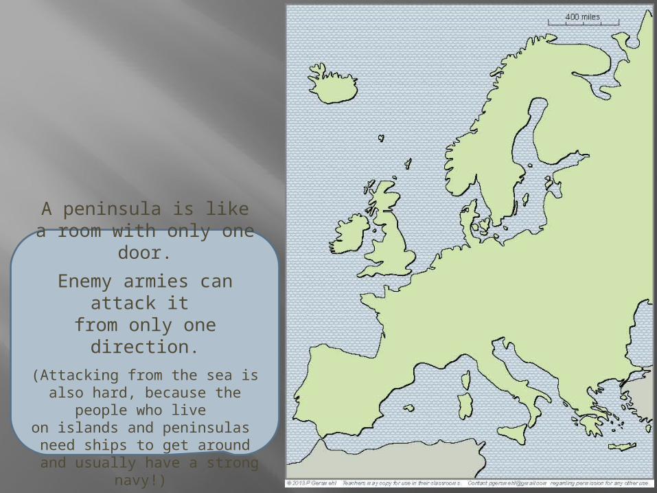
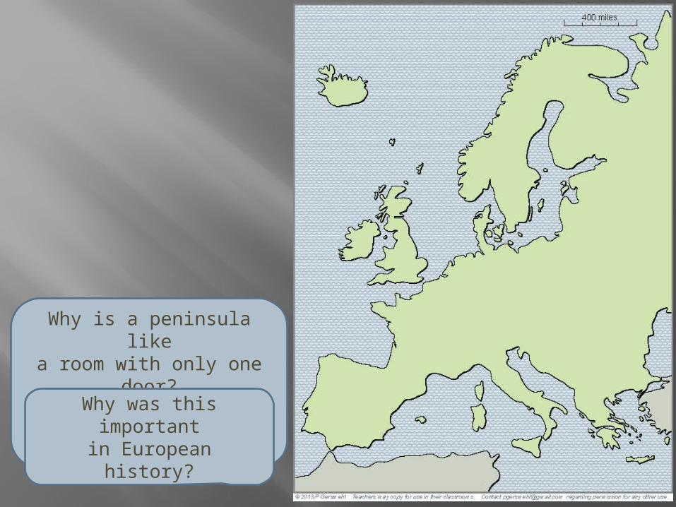
A peninsula is likea room with only one door.
Enemy armies can attack it from only one direction.
(Attacking from the sea is also hard, because the people who live on islands and peninsulas need ships to get around
and usually have a strong navy!)
Its many peninsulasand islands give Europe
a very long coastline.
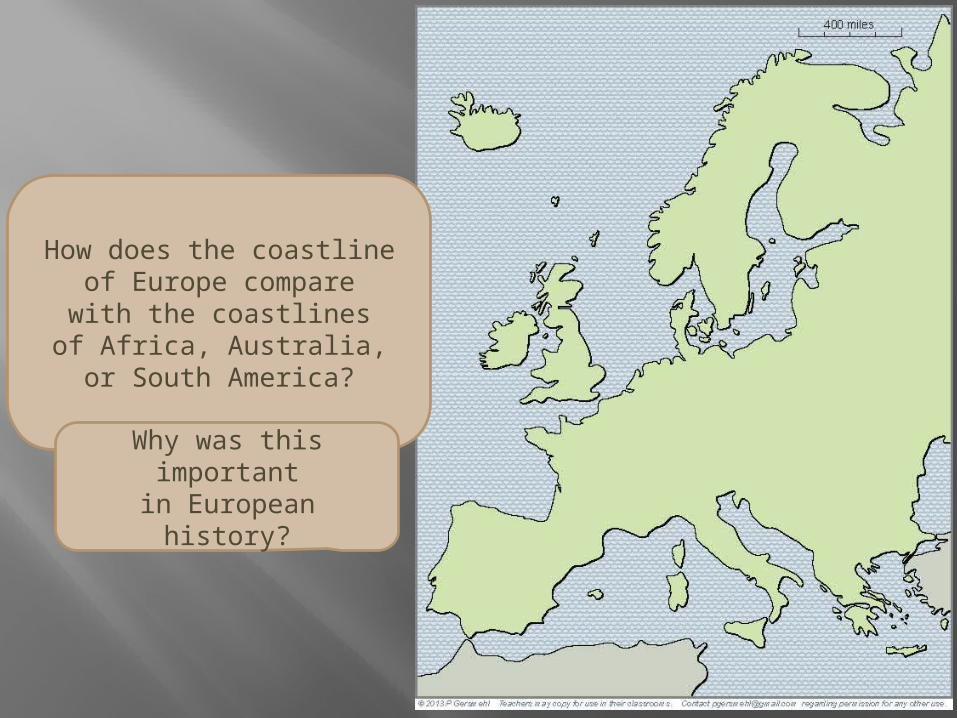
Even though Europe is only one-third as large as Africa,it has nearly twice as many miles of coastline as Africa,
Australia, and South America,put together.
Why is that important?
Because Europe hasa lot of quiet bays
and sheltered harborsfor sailing ships to use.
That is an important partof Europe’s history.
The complex shapeis a consequence of
a complex geologic history.
The complex shapeis a consequence of
a complex geologic history.Even if
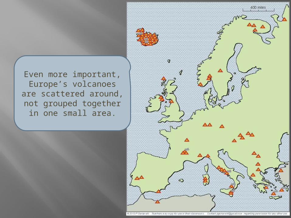
we don’t count Iceland(which is all volcanic),
Europe has many more volcanoesthan most other areasof comparable size.
The list includes Vesuvius(the famous volcano that destroyed
the Roman city of Pompeii).
Even more important,Europe’s volcanoes
are scattered around,not grouped together
in one small area.
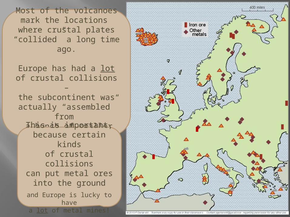
Most of the volcanoesmark the locations where crustal plates
“collided” a long time ago.
Europe has had a lotof crustal collisions –the subcontinent was
actually “assembled” from a bunch of smaller plates.
Most of the volcanoesmark the locations where crustal plates
“collided” a long time ago.
Europe has had a lotof crustal collisions –the subcontinent was
actually “assembled” from a bunch of smaller plates.
This is important,because certain kinds
of crustal collisionscan put metal ores
into the ground
and Europe is lucky to havea lot of metal mines!
R o ma n
E mp i r e
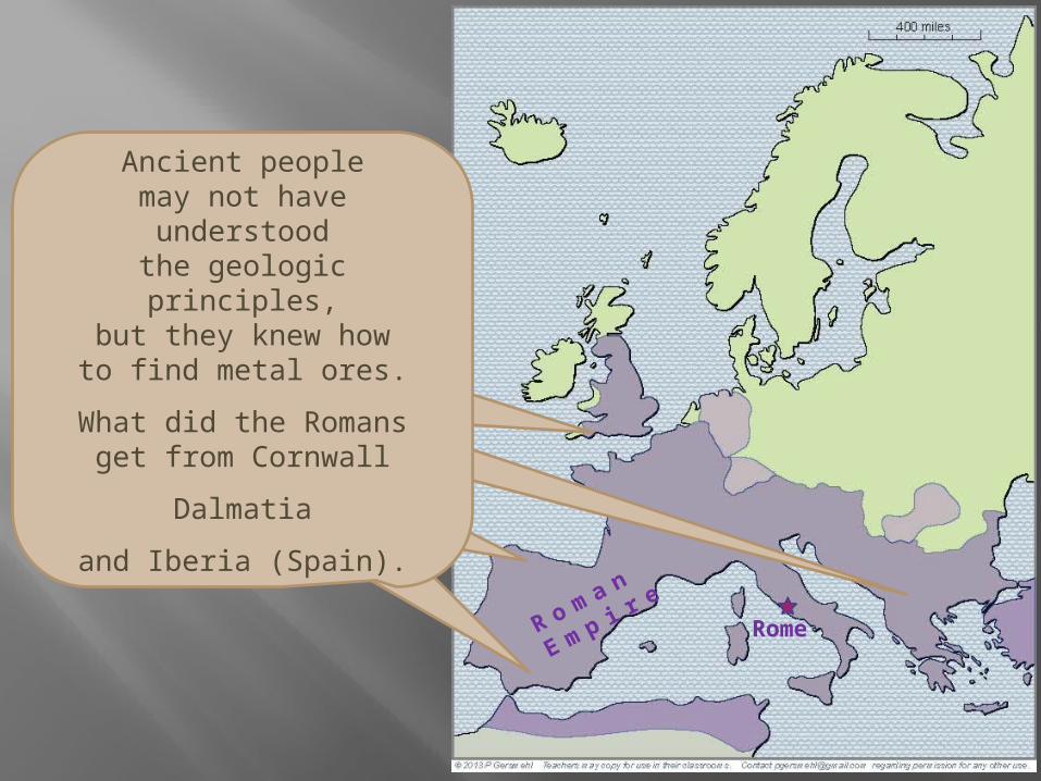
Ancient peoplemay not have understood
the geologic principles,but they knew howto find metal ores.
The Romans, for example,got tin from Cornwall
silver from Dalmatia
and copper and lead from Iberia (Spain).
Rome
As we already said,a complex geologic history
gave Europe a complex shape,with many bays and peninsulas.
If you add mountainsto the map, you seethat they often block
the only “door” into a peninsula.
If you add mountainsto the map, you seethat they often block
the only “door” into a peninsula.
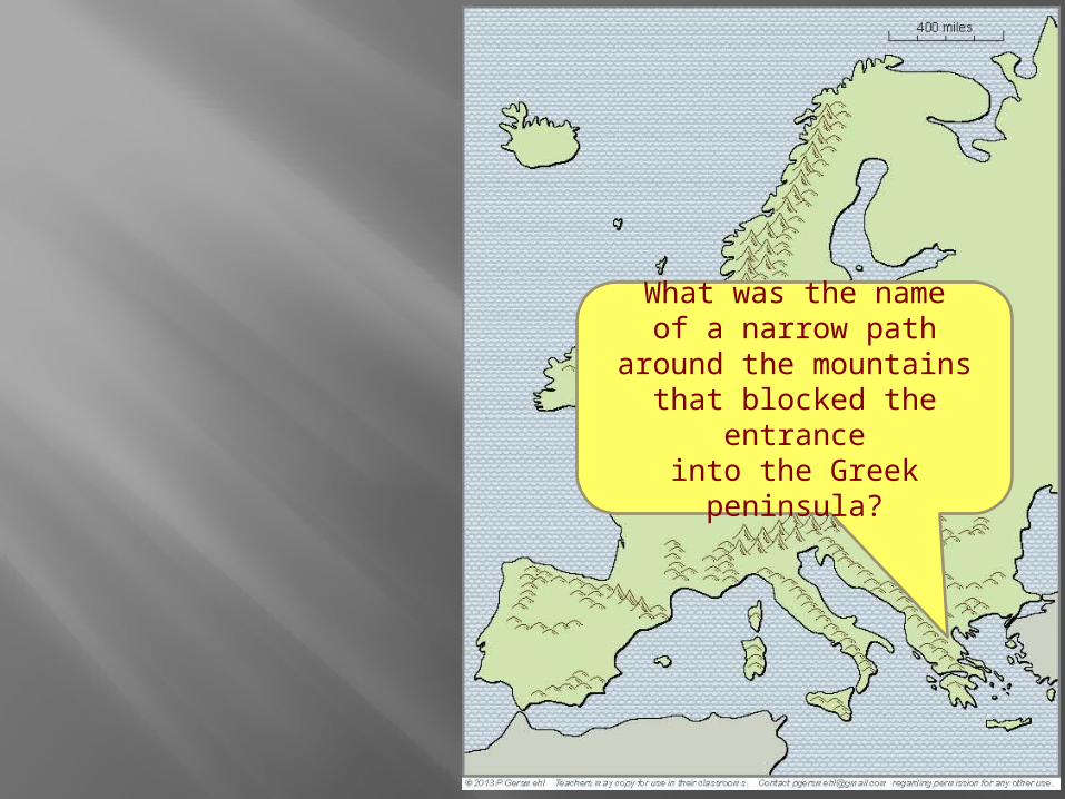
Thermopylaewas a narrow path
around the mountainsthat blocked the entranceinto the Greek peninsula
If you add mountainsto the map, you seethat they often block
the only “door” into a peninsula.
Hannibal surprised peoplewhen he crossed the Alpsin order to attack Rome.
If you add mountainsto the map, you seethat they often block
the only “door” into a peninsula.
The Pyreneesblocked the advanceof the Moor armies
invading from Africa.
They were defeatedevery time they tried
to cross these mountains, but they were able to hold
the Iberian peninsulaand stay in Europe
for several centuries.
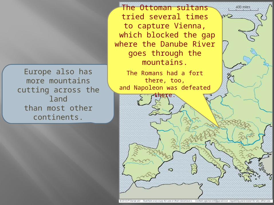
Europe also hasmore mountains
cutting across the landthan most other continents.
The Carpathian Mountainswere a barrier between
Magyars (Hungarians)
and Slavs (Russians).
These mountains also helpedstop the advance of the Mongols
when they invaded from Asia.
Europe also hasmore mountains
cutting across the landthan most other continents.
The Ottoman sultanstried several timesto capture Vienna,
which blocked the gapwhere the Danube River
goes through the mountains.The Romans had a fort there, too,and Napoleon was defeated there.
In short, locations on peninsulas(or in areas that were blocked by mountains)
allowed many groups of people to surviveeven when they had hostile neighbors.
Several times in the past, people spreadout from their peninsula and tried to capture
a larger area as part of their empire.
The Greeks did that, and the Romans.The Moors also tried, but less successfully.
Then, in the 8th century, another group of peoplestarted to spread outward from their homeland,
which was a small peninsula in northern Europe.
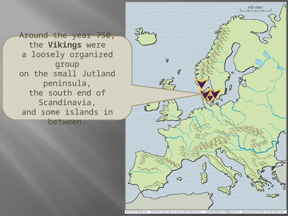
Around the year 750,the Vikings were
a loosely organized groupon the small Jutland peninsula,the south end of Scandinavia,and some islands in between.
By the middle of the 8th century,the Vikings had spread
along nearby coastsand done some raiding
as far south as Italy.
By the middle of the 9th century,the Vikings had spread
across much of Englandand gone on raiding tripsand/or built trading posts
as far south as Constantinople.
By the middle of the 10th century,other European countries
had become stronger.
The Vikings were losingon mainland Europe,
but many Viking explorers crossed the Atlantic Ocean
to Greenland and the Americas.
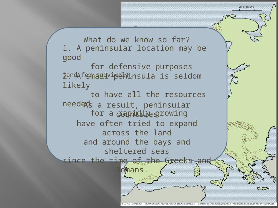
What do we know so far?
1. A peninsular location may be good for defensive purposes (and for survival),
BUT
2. A small peninsula is seldom likely to have all the resources needed for a rapidly growing economy.
As a result, peninsular countrieshave often tried to expand across the landand around the bays and sheltered seas
since the time of the Greeks and Romans.
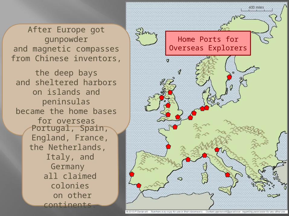
After Europe got gunpowderand magnetic compassesfrom Chinese inventors,
the deep baysand sheltered harbors
on islands and peninsulasbecame the home basesfor overseas exploration.
Portugal, Spain,England, France,the Netherlands,
Italy, and Germany all claimed colonies on other continents.
Home Ports forOverseas Explorers
Late in the colonial era . . . .
the geologic complexity of Europeturned out to be a big advantage
at the beginning of the Industrial Revolution.
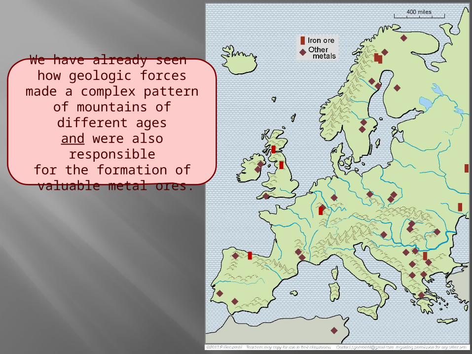
We have already seen how geologic forces
made a complex patternof mountains of different ages
and were also responsiblefor the formation of
valuable metal ores.
We have already seen how geologic forces
made a complex patternof mountains of different ages
and were also responsiblefor the formation of
valuable metal ores.
This geologic complexityalso helps us understandwhy Europe is fortunateto have deposits of coal
scattered in many places.
At the start of the Industrial Revolution,
these widely scatteredmetal and coal minescould support many
separate clusters of factories(the gray ovals on this map).
Especially importantindustrial areas
included:The Midlands Ruhr Valley
Silesia
Donbass
RhoneValley
Bilbao
The scattered developmentallowed by complex geologyhad a downside, however.
The scattered developmentallowed by complex geologyhad a downside, however.
Widely scattered factories,along with overseas colonies,
helped European countriesto stay independent.
As a result, they couldcontinue their old rivalrieseven into the modern age.
France
Spain Italy
PrussiaEngland
Lithuania
Sweden
Austria
Nether-lands
Hungary
OttomanEmpire
Rus
Balkans
This map shows the locationsof just 25 of the major battles
that marked turning pointsin European history.
As time went on,weapons became
more and more deadly.
In the twentieth century,old European rivalries erupted
into two world wars.
So far, we have notedhow geographic complexitywas important in defense,
industrial development,overseas colonization,
and maritime trade.
As a “backhand”form of evidence
for the importance ofgeographic complexity,
we might look at an areathat is not very complex,
not on a peninsula,and not protected
by mountains.
The country we now knowas Poland has a history
that stretches backmore than a thousand years.
During that time,it has been invaded
(and often conquered) by a “Who’s Who”of great invaders:
Huns, Vikings,Mongols, Slavs,
Hapsburgs, Prussians, Napoleon, the Nazis,and the Soviet Union. You can find websites that show the extent
of “Poland” at many different times in history –here, we will show just a few time periods.
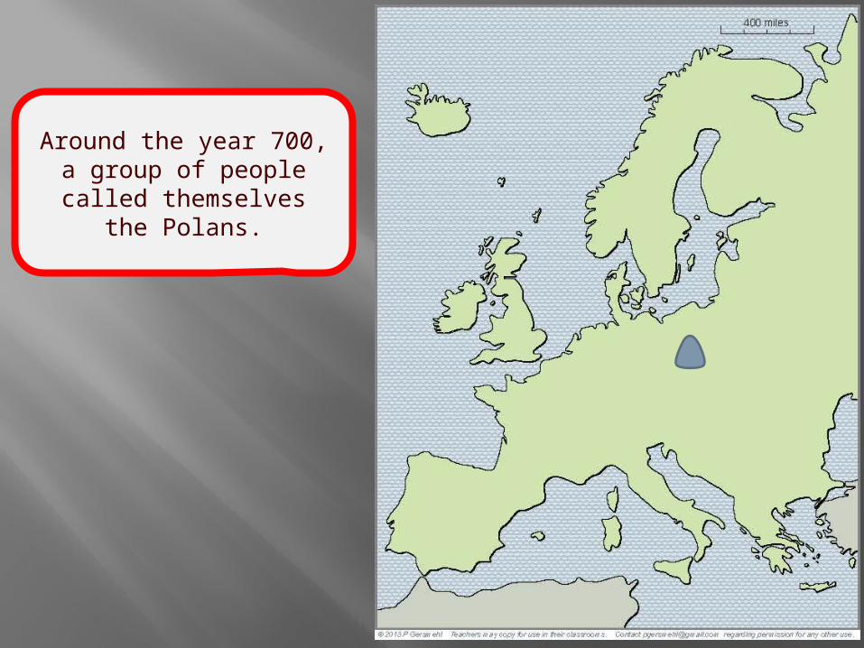
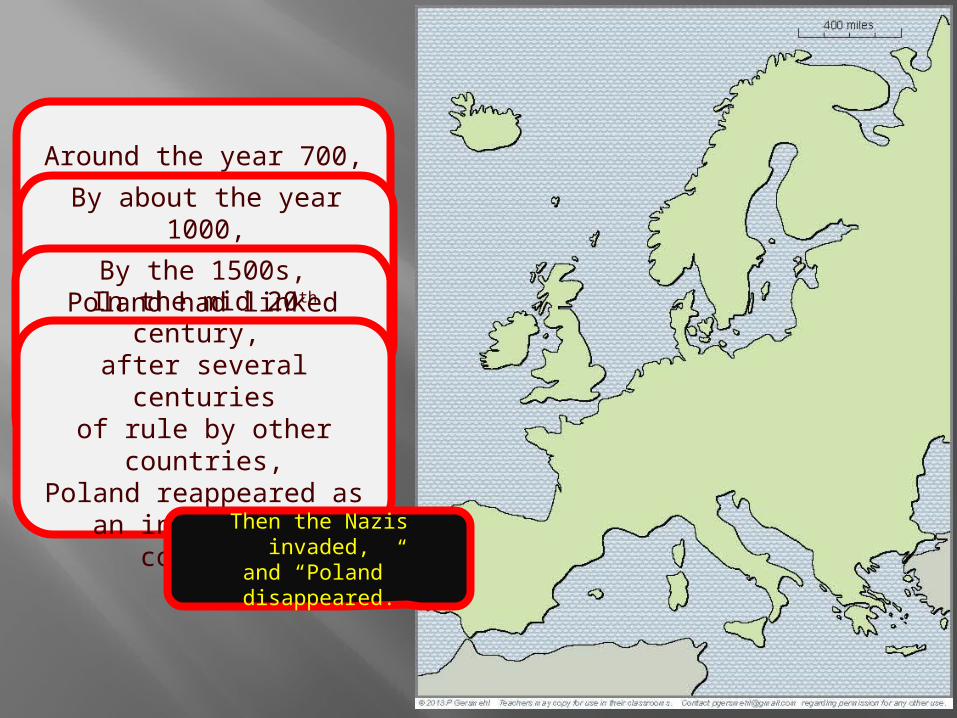
Around the year 700,a group of peoplecalled themselves
the Polans.
Around the year 700,a group of peoplecalled themselves
the Polans.By about the year 1000,
the Polans had expandedand formed a national
government.
Around the year 700,a group of peoplecalled themselves
the Polans.By about the year 1000,
the Polans had expandedand formed a national
government.By the 1500s,
Poland had linkedwith Lithuania to form
a major European empire.
Under John Sobieski, they helped save Vienna (and the Hapsburg Empire)
from the Ottoman invaders.
Then other countries became more powerful,and “Poland” disappeared from the map
Around the year 700,a group of peoplecalled themselves
the Polans.By about the year 1000,
the Polans had expandedand formed a national
government.By the 1500s,
Poland had linkedwith Lithuania to form
a major European empire.In the mid 20th century, after several centuries
of rule by other countries,Poland reappeared as
an independent country.
Then the Nazis invaded,and “Poland” disappeared.
Around the year 700,a group of peoplecalled themselves
the Polans.By about the year 1000,
the Polans had expandedand formed a national
government.By the 1500s,
Poland had linkedwith Lithuania to form
a major European empire.In the mid 20th century, after several centuries
of rule by other countries,Poland reappeared as
an independent country.
1n 1945, Polandreappeared on the map,
but in a somewhatdifferent area.
It was, however,under the control
of the Soviet Union.
Around the year 700,a group of peoplecalled themselves
the Polans.By about the year 1000,
the Polans had expandedand formed a national
government.By the 1500s,
Poland had linkedwith Lithuania to form
a major European empire.In the mid 20th century, after several centuries
of rule by other countries,Poland reappeared as
an independent country.
1n 1945, Polandreappeared on the mapcovering a somewhat
different area.
Compare the shape of Poland before
and after World War II.
You can see why manyPoles decided to move.
Around the year 700,a group of peoplecalled themselves
the Polans.By about the year 1000,
the Polans had expandedand formed a national
government.By the 1500s,
Poland had linkedwith Lithuania to form
a major European empire.In the mid 20th century, after several centuries
of rule by other countries,Poland reappeared as
an independent country.
1n 1945, Polandreappeared on the mapcovering a somewhat
different area.
And if you put even ourlimited sample of “Polands”
on top of each other,you can see the effects
of living in an areathat is hard to defend.
Compare the shape of Poland before
and after World War II.
You can see why manyPoles decided to move!
One more consequenceof the historic complexity of Europe
is in the headlines today.
Dismayed by centuries of fighting,European rulers tried a bold experiment.
They decided to give upsome of their national powersand form a European Union.
But the age-old differenceshave emerged in new ways
to threaten this Union.
Here’s a big issue facing European people today:
Can Europeans resolve their old differences, so that they can work together to deal with changing economies and aging populations?
This presentation showed one way to use the clickable mini-Atlas - to help us investigate
some consequences of the big idea of complexity, with examples from the subcontinent of Europe.
Complexity can involve:
Shape – complex shapes produce defensible homelands, because peninsulas have only one “entrance door”
Terrain – mountains can also help isolate places and make them harder to attack
Sheltered harbors – complex coastlines often provide safe harbors, especially important for sailing ships
Metal ores – complex geology is usually the result of crustal collisions, which also form metal ores
Energy resources – complex geology also gave Europe a lot of coal, important for the Industrial Revolution
Diplomatic issues – complex political situations can lead to economic problems and frequent wars
QUESTIONSSECTION
Why
is it probably inaccurateto call Europe a continent?
Why
is it more accurateto call Europe asubcontinent (like South Asia).
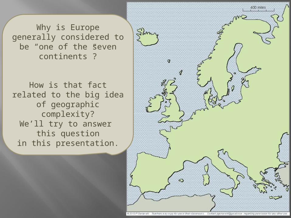
Why is Europegenerally considered to be
“one of the seven continents”?
How is that factrelated to the big idea
of geographic complexity?We’ll try to answer
this questionin this presentation.
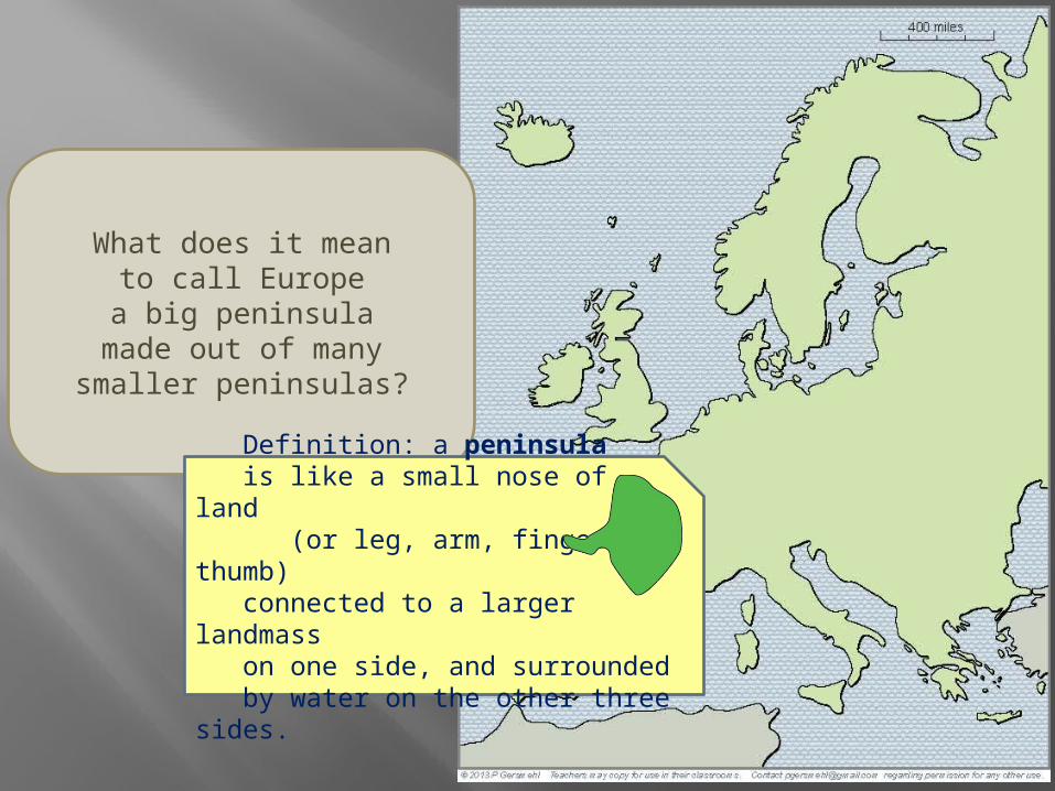
What does it meanto call Europe
a big peninsulamade out of many
smaller peninsulas?
Definition: a peninsula is like a small nose of land (or leg, arm, finger, thumb) connected to a larger landmass on one side, and surrounded by water on the other three sides.
123
4
Do you remember the namesof these peninsulas?
5
7
6
1. Greece
1
2. Italy (Rome)
2
3. Iberia (Spain and Portugal)
3
4. Scandinavia
4
5. Jutland (Denmark)
Let’s make a listof important peninsulas
in European history.
5
6. Dover, Cornwall, Brittany, Normandy
7. Kola
7
(Cold War submarines)
Do you remembertheir names?
6DC
B N
Why is a peninsula likea room with only one door?
Why was this importantin European history?
How does the coastlineof Europe comparewith the coastlinesof Africa, Australia,or South America?
Why was this importantin European history?
How does the patternof volcanic eruptions
have an effecton the overall shape
and subsurface geologyof Europe?
What is the relationshipbetween volcanoes
and metal ores?
Why was this importantin European history?
R o ma n
E mp i r e
Ancient peoplemay not have understood
the geologic principles,but they knew howto find metal ores.
What did the Romansget from Cornwall
Dalmatia
and Iberia (Spain).
Rome
Why does Europehave so many
separate rangesof mountains?
Why was this importantin European history?
What was the nameof a narrow path
around the mountainsthat blocked the entranceinto the Greek peninsula?
What is the nameof these mountains?
What African general surprised many peoplewhen he crossed them
in order to attack Rome?
What is the nameof this mountain range?
What was the roleof these mountains
in European history?
What is the nameof this mountain range?
What was the roleof these mountains
in European history?
What cityis located here?
Why is this locationstrategically important?
Name at least threedifferent times
when this placewas important.
What group of peoplestarted on these
northern peninsulas?
About when did theybegin to expand
and raid other territories?
Two centuries later,these people had
gone on raiding tripsand/or built trading posts
as far south asthis famous city.
What is its name?
Why is it important?
What two inventionsdid Europeans get
from Chinese inventors?
What major world erastarted shortly after
these technical changes?
Home Ports forOverseas Explorers
During what major world erawas it especially important
to have access to metal oresand deposits of coal?
Name theseindustrial areas:
1 2
3
4
5
6
How can ideasabout shape complexityand geologic complexity
help us understandthe military history
of Europe?
How would you describethe location of Poland?
What are someconsequencesof its location
in an areawith few mountains
or sheltered harbors?
When does history recorda group of people
who called themselvesthe Polans?
By what yearhad the Polans expanded
and formed a nationalgovernment?
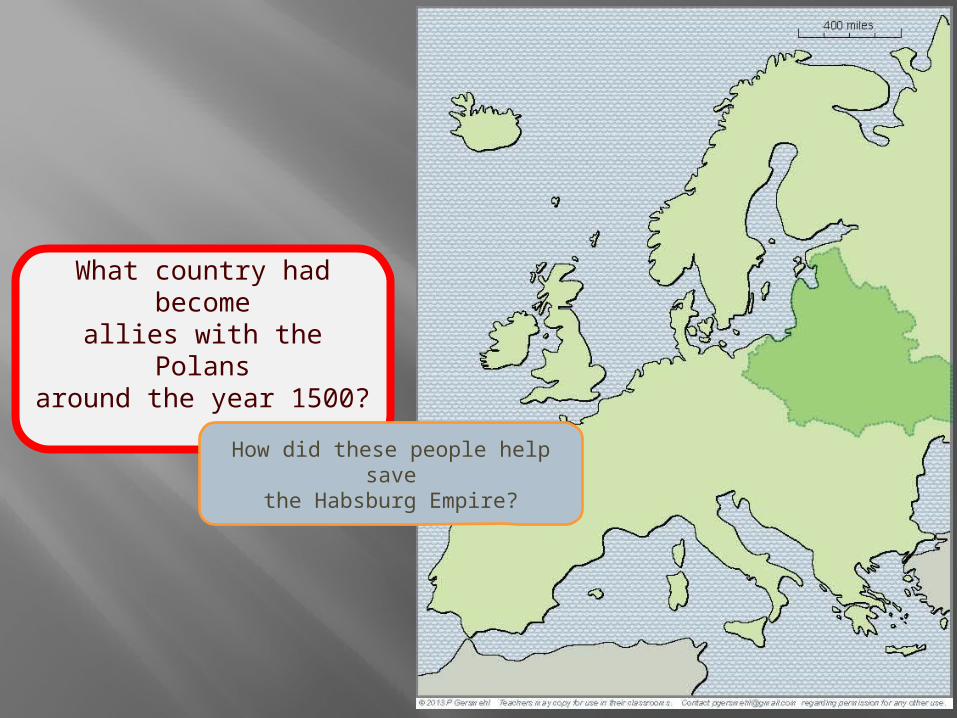
What country had becomeallies with the Polans
around the year 1500?
How did these people help savethe Habsburg Empire?
Under John Sobieski, they helped save Vienna (and the Hapsburg Empire)
from the Ottoman invaders.
Then other countries became more powerful,and “Poland” disappeared from the map
This map shows Poland in 1938.
What happened then?
How did the lackof geographic complexity
make that easier?
1n 1945, Polandreappeared on the map,
but in a somewhatdifferent area.
What empirenow had control
over Poland?
How does this maphelp explain why manyPoles decided to move?
How does puttingthese maps of “Poland”
help us understand some of the problems
of living in an areathat is hard to defend?
Finally, how does the complex geography
(and the complex history)of the subcontinent of Europe
help us understand the problemsfacing the European Union today?