Conclusions from the NERC Earth Observation Technology Cluster Paul Aplin 1 , Doreen Boyd 1 , Mark Danson 2 , Danny Donoghue 3 , Graham Ferrier 4 , Niko Galiatsatos 3 , Alison Marsh 1 , Allen Pope 5 , Alberto Ramirez 6 and Nick Tate 6 1 University of Nottingham, 2 University of Salford, 3 University of Durham, 4 University of Hull, 5 Scott Polar Research Institute, 6 University of Leicester
Transcript
Conclusions from the NERC Earth Observation Technology Cluster
Paul Aplin1, Doreen Boyd1, Mark Danson2, Danny Donoghue3, Graham Ferrier4, Niko Galiatsatos3, Alison Marsh1, Allen Pope5,
Alberto Ramirez6 and Nick Tate6
1University of Nottingham, 2University of Salford, 3University of Durham, 4University of Hull, 5Scott Polar Research Institute, 6University of Leicester
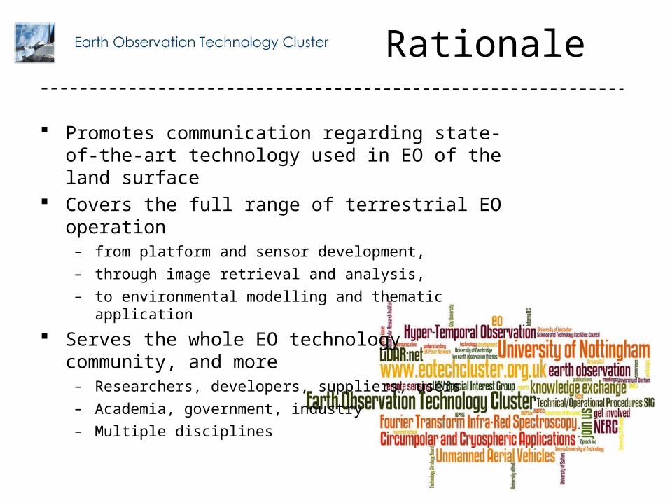
Rationale
Promotes communication regarding state-of-the-art technology used in EO of the land surface
Covers the full range of terrestrial EO operation– from platform and sensor development,– through image retrieval and analysis,– to environmental modelling and thematic application
Serves the whole EO technology community, and more– Researchers, developers, suppliers, users– Academia, government, industry– Multiple disciplines
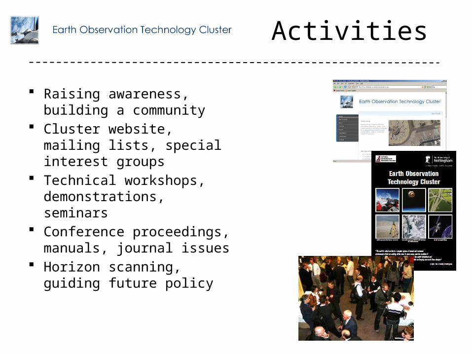
Activities
Raising awareness, building a community
Cluster website, mailing lists, special interest groups
Technical workshops, demonstrations, seminars
Conference proceedings, manuals, journal issues
Horizon scanning, guiding future policy
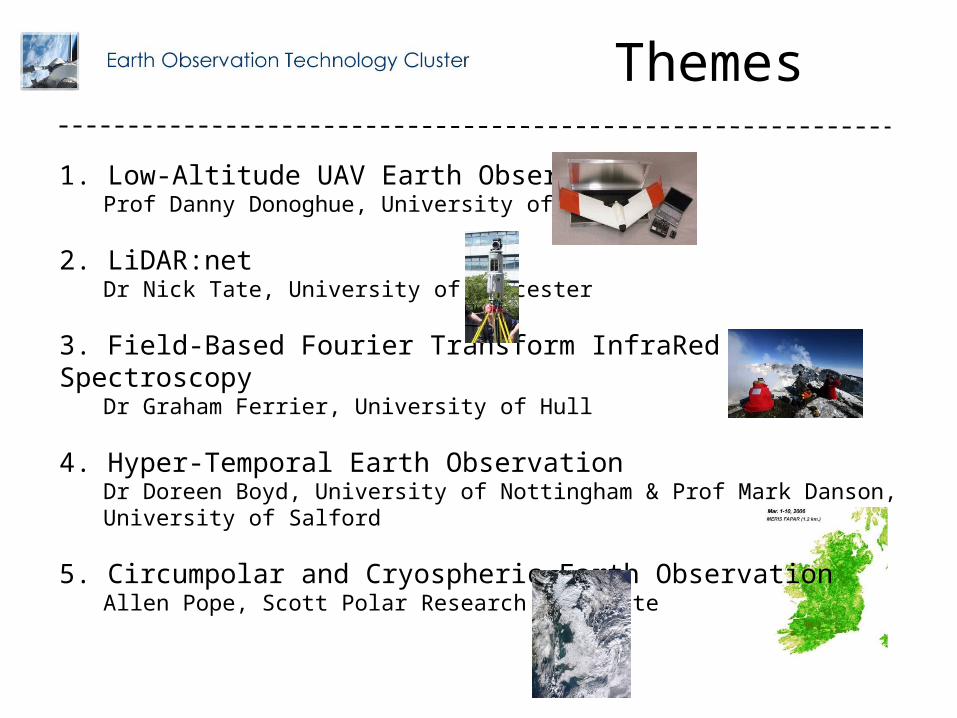
1. Low-Altitude UAV Earth ObservationProf Danny Donoghue, University of Durham
2. LiDAR:netDr Nick Tate, University of Leicester
3. Field-Based Fourier Transform InfraRed SpectroscopyDr Graham Ferrier, University of Hull
4. Hyper-Temporal Earth ObservationDr Doreen Boyd, University of Nottingham & Prof Mark Danson, University of Salford
5. Circumpolar and Cryospheric Earth ObservationAllen Pope, Scott Polar Research Institute
Themes
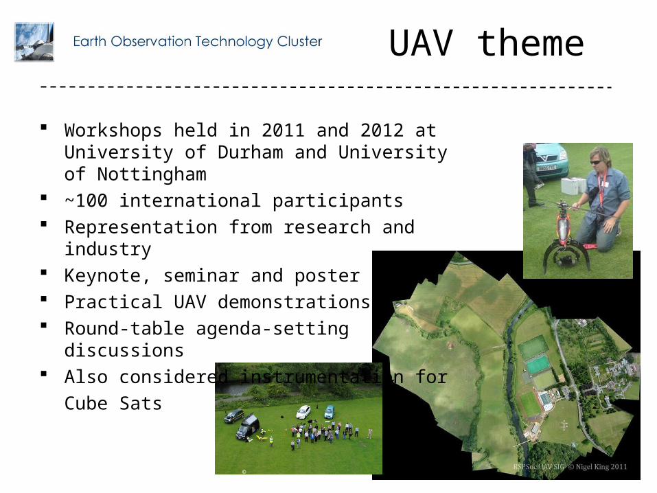
UAV theme
Workshops held in 2011 and 2012 at University of Durham and University of Nottingham
~100 international participants Representation from research and industry Keynote, seminar and poster papers Practical UAV demonstrations Round-table agenda-setting discussions Also considered instrumentation for
Development of reliable systems with low vibration engines and airframe stabilisation suitable for imaging
Achieving highly reliable systems with appropriate sense and avoid technology
Appropriate training for UAV pilots to operate within an appropriately regulated environment
Lightweight scientific instruments suitable for UAV deployment Methods to survey large areas Suitable image/data processing software for geometrically correcting and
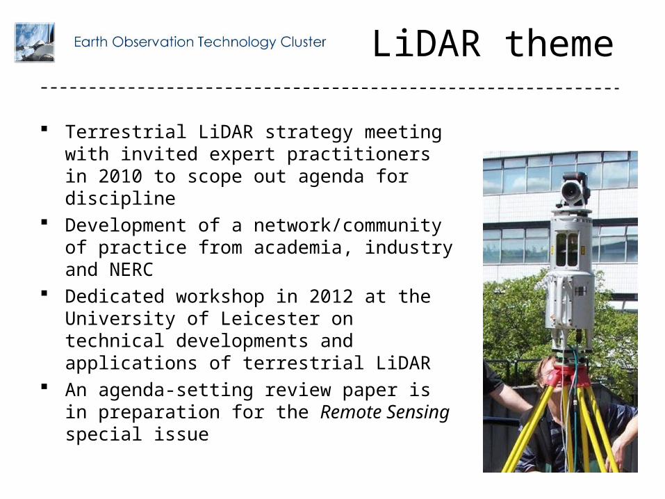
Terrestrial LiDAR strategy meeting with invited expert practitioners in 2010 to scope out agenda for discipline
Development of a network/community of practice from academia, industry and NERC
Dedicated workshop in 2012 at the University of Leicester on technical developments and applications of terrestrial LiDAR
An agenda-setting review paper is in preparation for the Remote Sensing special issue
LiDAR priorities
The full potential of terrestrial laser scanning (TLS) is some way from being fully realized, with concerns relating to modelling, registration and processing of TLS data
There is a lack of communication between scientists and computer programmers, which in many cases leads to the generation of inefficient codes for data processing and analysis
Software packages provided by the manufacturers of TLS systems often fail to meet essential user requirements associated with data analysis and visualisation
There is often limited documentation describing the data acquisition process, which may have an impact on the interpretation of results obtained from TLS projects
There are problems associated with the management of large datasets captured by TLS systems, since tasks such as 3D-modelling and visualisation often create TB of information
Efficient data extraction algorithms driven by end-user requirements should be a focus for research and development in the application of TLS.
Full-waveform TLS may help solve issues such as characterisation of ‘soft targets’ like forest canopy elements, atmospheric distortions and near-field clutter in long-range surveys
Although full-waveform datasets offer the possibility of analysing multiple returns, a measure of the quality of returns is equally important to characterise the 3D point clouds
With full-waveform system datasets, difficulties arise again from data volume, interoperability and post-processing, and further software developments are required
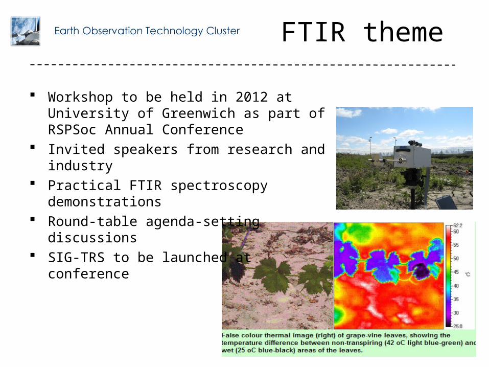
Workshop to be held in 2012 at University of Greenwich as part of RSPSoc Annual Conference
Invited speakers from research and industry Practical FTIR spectroscopy demonstrations Round-table agenda-setting discussions SIG-TRS to be launched at conference
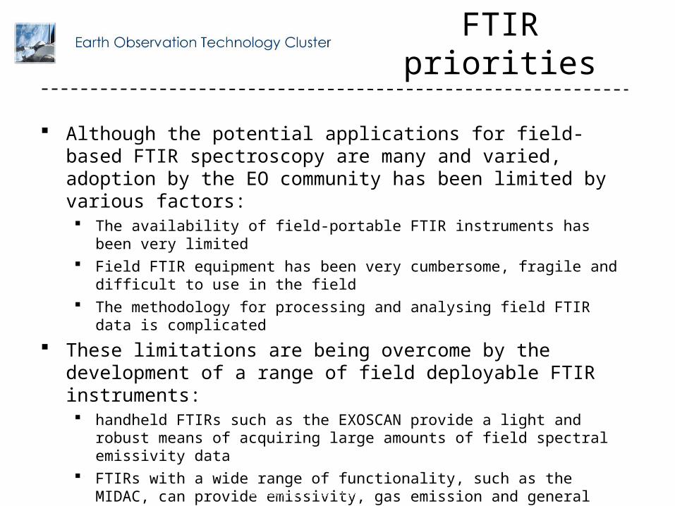
FTIR priorities
Although the potential applications for field-based FTIR spectroscopy are many and varied, adoption by the EO community has been limited by various factors: The availability of field-portable FTIR instruments has been very limited Field FTIR equipment has been very cumbersome, fragile and difficult to use in the field The methodology for processing and analysing field FTIR data is complicated
These limitations are being overcome by the development of a range of field deployable FTIR instruments: handheld FTIRs such as the EXOSCAN provide a light and robust means of acquiring
large amounts of field spectral emissivity data FTIRs with a wide range of functionality, such as the MIDAC, can provide emissivity, gas
emission and general emission spectral data Field-based Imaging FTIRs, such as the TELOPS, offer the potential of the development
of a wide range of novel observation methodologies and analytical techniques
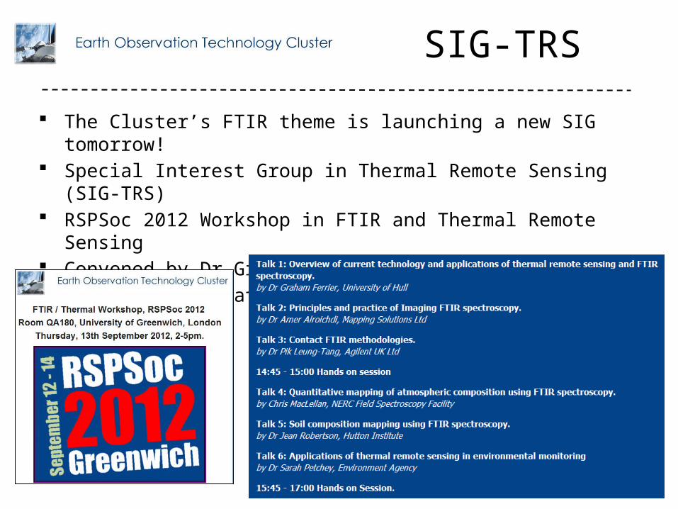
The Cluster’s FTIR theme is launching a new SIG tomorrow! Special Interest Group in Thermal Remote Sensing (SIG-TRS) RSPSoc 2012 Workshop in FTIR and Thermal Remote Sensing Convened by Dr Graham Ferrier, University of Hull Interest/information: [email protected]
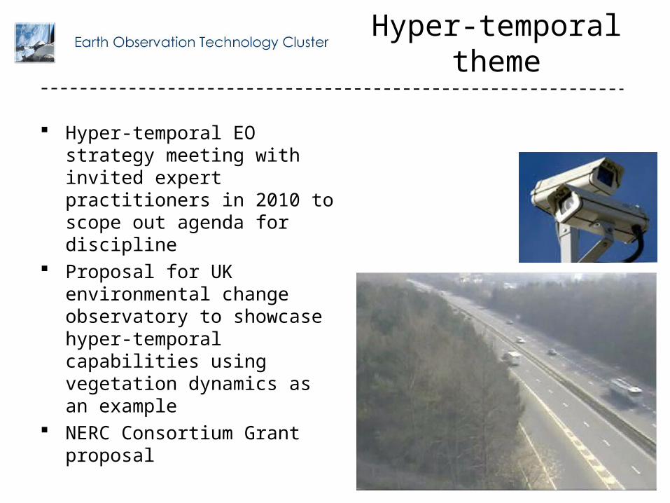
Hyper-temporal EO strategy meeting with invited expert practitioners in 2010 to scope out agenda for discipline
Proposal for UK environmental change observatory to showcase hyper-temporal capabilities using vegetation dynamics as an example
NERC Consortium Grant proposal
There is a real opportunity for hyper-temporal remote sensing capability, by exploiting a major shift in the way remote sensing systems are deployed
A technological paradigm shift in EO data collection can meet the stringent requirement in spatial and temporal resolutions required for measuring land surface dynamics
Newly available data from EO constellations, the ESA Sentinel-2 platforms, or ‘virtual constellations’, can provide daily observation of the Earth at a spatial resolution up to 10m
Similarly, a close collaboration with “commercial” systems such as DMC could afford a system of a constellation of satellite sensors to operate to capture hyper-temporal data
Underpinning these research challenges is a series of technical challenges that must be overcome in order to make the data useful for rigorous scientific work:
– Optimizing data acquisition– Radiometric calibration– Correction of atmospheric and surface reflectance anisotropy– Cloud masking – Orthorectification
This is an addition to developing methodologies to exploit the hyper-temporal content as well as visualisation techniques for displaying the content
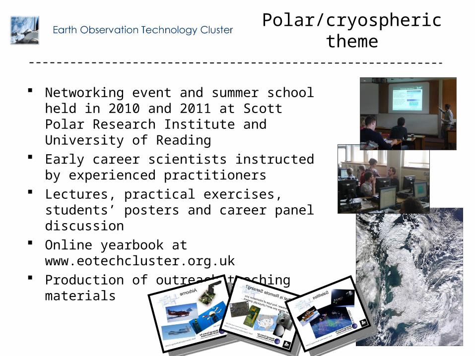
Networking event and summer school held in 2010 and 2011 at Scott Polar Research Institute and University of Reading
Early career scientists instructed by experienced practitioners
Lectures, practical exercises, students’ posters and career panel discussion
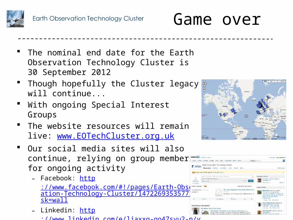
Online yearbook at www.eotechcluster.org.uk Production of outreach teaching materials
Polar/cryospheric theme
Understanding the cryosphere is a key part of understanding the Earth and its climate
EO technology has profoundly improved our understanding of the cryosphere:
– Enabling observation of large areas such as the Arctic Ocean– Facilitating studies of glaciers in remote and/or rugged zones including the Himalayas– High resolution 3D modeling for monitoring valley glaciers and continental ice sheet flow
models– Snow monitoring, avalanche prediction and iceberg/sea ice forecasts