1
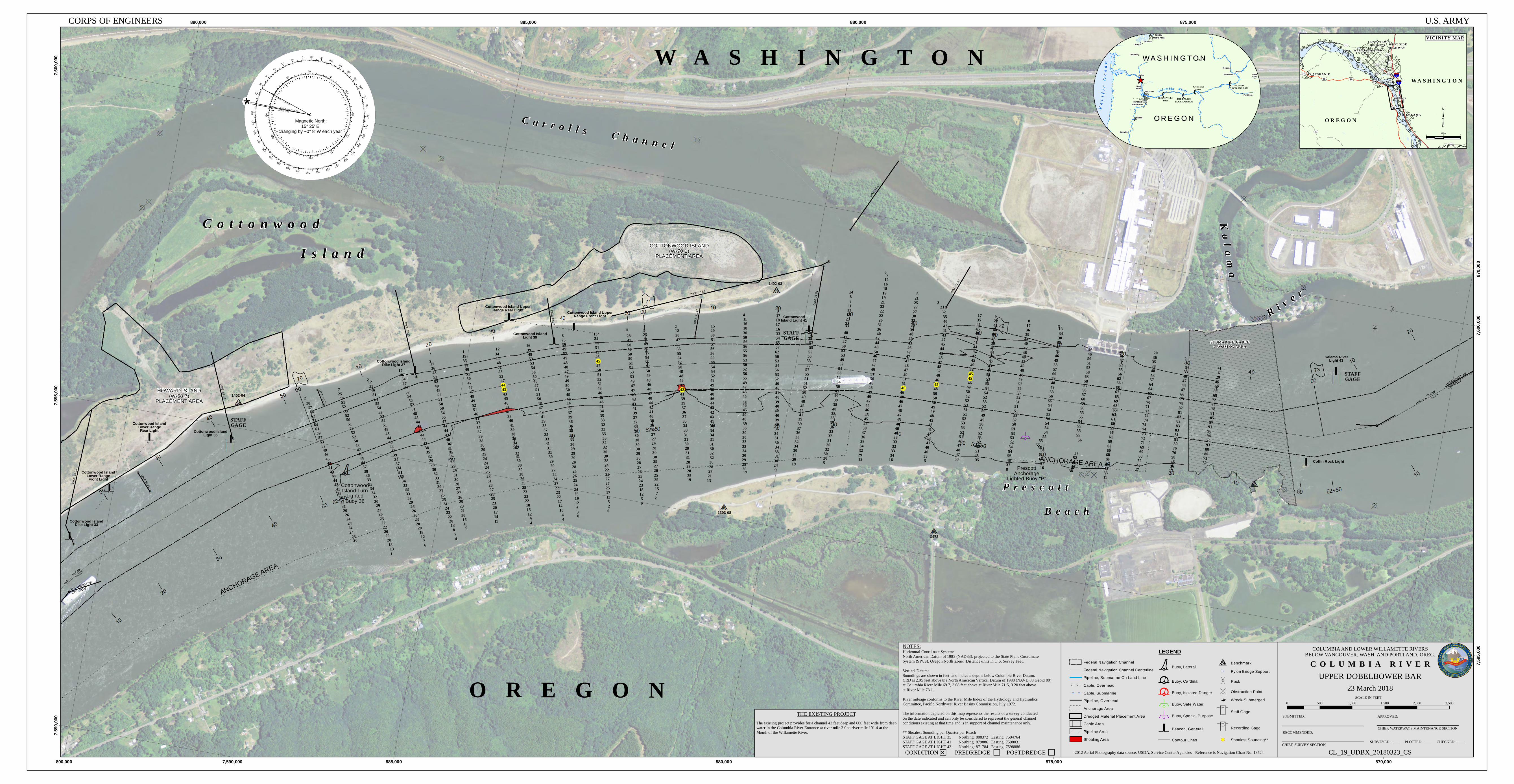
WASHINGTON OREGON Cottonwood Island Dike Light 33 Cottonwood Island Lower Range Rear Light Cottonwood Island Light 35 Cottonwood Island Turn Lighted Buoy 36 Cottonwood Island DIKE 69.51 DIKE 70.07 ANCHORAGE AREA WASHINGTON OREGON STAFF GAGE FLOW FLOW Cottonwood Island Upper Range Rear Light Cottonwood Island Upper Range Front Light Cottonwood Island Light 39 STAFF GAGE Cottonwood Island Light 41 X472 STAFF GAGE Kalama River Light 43 Coffin Rock Light Carrolls Channel W A S H I N G T O N O R E G O N River Kalama Prescott Beach SUBMARINE CABLE CROSSING AREA DIKE 71.51 COTTONWOOD ISLAND (W-70.1) PLACEMENT AREA HOWARD ISLAND (W-68.7) PLACEMENT AREA ANCHORAGE AREA Prescott Anchorage Lighted Buoy "P" 1402-04 1402-03 1303-08 DIKE 69.25 Cottonwood Island Lower Range Front Light DIKE 69.79 Cottonwood Island Dike Light 37 DIKE 70.35 DIKE 71.17 DIKE 70.83 DIKE 70.77 DIKE 71.87 DIKE 71.59 58 2 28 37 44 62 71 64 61 59 57 53 52 49 46 45 42 41 43 44 44 43 41 39 36 33 31 29 26 24 24 24 24 23 1 13 18 20 20 20 22 22 23 26 27 29 30 32 34 34 35 33 36 38 37 44 45 46 47 48 50 52 52 53 51 50 52 53 52 51 40 25 7 2 12 35 49 51 54 55 54 52 53 52 51 48 45 44 45 44 43 39 34 37 34 31 32 34 33 33 33 32 29 26 26 25 23 20 20 18 12 7 4 7 8 13 20 22 23 24 24 25 25 27 30 31 33 32 30 28 29 32 35 38 43 44 44 42 42 44 45 48 51 52 52 54 57 66 67 54 46 17 3 17 36 48 53 52 49 48 52 51 50 50 54 55 47 44 44 43 40 36 31 30 27 28 29 29 31 30 28 27 27 26 25 23 21 20 16 11 11 14 17 20 23 25 28 27 28 31 28 25 24 24 24 25 29 36 38 39 37 35 37 41 46 51 52 49 48 47 47 47 50 51 49 44 35 19 1 12 34 44 48 52 53 52 47 44 43 43 45 46 43 40 38 40 41 39 38 36 34 32 32 31 30 30 30 28 26 25 22 23 23 22 18 15 12 9 4 4 10 14 17 22 23 22 27 24 24 27 29 29 30 31 31 31 33 35 37 38 39 41 43 47 48 50 51 51 47 46 50 56 54 53 53 48 39 16 8 25 39 49 52 49 48 48 47 49 49 50 50 49 48 49 39 37 39 36 36 33 33 33 30 29 29 29 29 28 25 26 25 24 24 25 19 12 6 3 0 2 5 11 17 25 27 27 25 22 24 28 30 30 32 32 33 33 32 32 33 35 34 41 46 46 46 48 51 52 51 50 47 45 46 49 51 44 34 15 11 28 41 50 50 50 50 51 51 53 53 49 47 47 45 43 43 41 39 37 37 34 32 30 30 30 30 29 30 28 27 26 25 24 23 18 12 5 2 7 15 22 25 25 26 27 29 30 30 28 29 27 27 32 36 38 40 41 42 44 48 47 48 46 48 49 50 52 55 54 53 51 49 41 25 9 2 12 28 47 55 56 55 54 52 50 48 48 46 42 42 41 39 39 37 36 37 35 34 33 31 31 30 29 31 31 28 29 28 25 13 21 27 28 30 32 32 30 31 31 34 34 38 41 43 42 42 44 46 48 50 49 49 52 54 54 55 55 56 56 57 51 30 20 15 4 11 16 18 30 50 56 56 55 56 53 50 52 56 55 49 47 45 45 46 46 45 40 40 39 35 30 30 33 33 34 30 29 29 26 9 24 30 31 33 34 30 31 34 36 38 39 40 40 40 39 40 41 46 49 52 53 56 54 53 56 62 67 65 54 33 16 17 18 17 3 35 57 59 55 56 53 50 57 55 51 51 52 50 49 48 45 44 41 39 39 37 36 33 32 34 30 32 29 5 20 30 32 30 31 32 33 36 37 33 38 40 38 39 40 45 50 54 52 53 54 52 49 53 52 50 47 41 40 33 31 23 16 13 11 8 8 14 6 7 12 16 18 19 19 21 23 22 22 26 31 36 40 42 44 48 50 46 47 47 49 51 50 46 46 49 49 47 44 46 45 45 42 38 37 36 38 34 32 29 16 34 33 32 33 38 40 40 40 45 47 46 47 46 48 46 46 51 51 49 47 46 47 47 47 46 43 42 40 39 36 32 30 27 27 25 21 5 3 21 32 35 40 42 41 43 47 45 44 42 45 47 48 52 49 46 45 48 50 50 50 49 49 48 45 43 41 42 43 41 40 40 33 39 47 48 47 48 51 52 53 53 52 51 51 51 52 52 50 47 46 45 45 52 49 45 42 42 44 41 42 48 45 41 35 17 6 22 41 43 46 43 39 45 44 42 40 43 46 51 53 54 54 54 52 53 52 50 49 49 50 53 52 53 52 52 51 45 8 37 48 52 54 54 52 53 53 51 50 52 53 51 51 51 52 55 55 52 49 48 48 45 42 40 46 42 40 44 39 36 17 8 3 13 34 38 38 43 45 46 49 53 57 60 59 48 49 53 56 55 54 54 53 54 54 54 54 55 55 55 61 67 37 38 46 46 52 57 56 55 55 55 54 55 55 56 59 60 57 56 57 58 63 58 53 51 50 46 46 44 46 47 52 55 56 62 66 68 67 65 69 68 65 63 61 60 59 61 61 59 62 60 60 49 46 42 33 27 45 52 60 69 69 71 72 73 74 74 74 74 74 71 70 67 65 64 64 57 53 48 38 35 36 20 2 6 14 33 46 47 44 47 66 73 78 82 81 83 82 83 83 81 81 80 76 70 58 46 36 52 71 80 88 93 94 94 96 91 87 85 81 78 77 72 68 59 50 45 29 6 +1 20 6 9 4 0 0 19 17 19 12 5 35 16 11 17 56 7,590,000 7,590,000 7,595,000 7,595,000 7,600,000 7,600,000 870,000 870,000 875,000 875,000 880,000 880,000 885,000 885,000 890,000 890,000 GEOGRAPHIC NORTH GR ID NORTH MAGNETIC N OR TH 0 10 20 180 170 160 150 140 130 120 110 100 90 80 70 60 50 40 30 350 340 330 320 310 300 290 280 270 260 250 240 230 220 210 200 190 0 180 150 120 90 60 30 330 300 270 240 210 # # # # P a ci f i c O c e a n OREGON OREGON ^ _ WASHINGTON WASHINGTON Portland Metro Area Seattle Metro Area Kelso Vancouver Tacoma Salem Corvallis Kennewick Walla Walla Pasco Richland Pendleton Centralia Olympia Saint Helens BONNEVILLE DAM THE DALLES LOCK AND DAM JOHN DAY DAM MCNARY LOCK AND DAM C o l u m b i a R i v e r Magnetic North: 15° 25' E, changing by ~0° 8' W each year CORPS OF ENGINEERS U.S. ARMY D D D D D D D D D D D D D D D D D D D D D D D D D D D D D D D OREGON WASHINGTON U V 432 U V 4 U V 47 U V 432 U V 433 U V 503 U V 432 U V 411 U V 47 U V 4 £ ¤ 30 £ ¤ 30 £ ¤ 30 £ ¤ 30 § ¨ ¦ 5 § ¨ ¦ 5 51 52 53 54 55 56 57 58 59 60 61 62 63 64 65 66 67 68 69 70 71 72 73 74 75 76 77 78 79 80 81 CLATSKANIE RAINIER KALAMA LONGVIEW HEIGHTS WEST LONGVIEW WEST SIDE HIGHWAY PRES COTT VICINITY MAP LEGEND Federal Navigation Channel Federal Navigation Channel Centerline Pipeline, Submarine On Land Line ;; Cable, Overhead Cable, Submarine Pipeline, Overhead Anchorage Area Dredged Material Placement Area Cable Area Pipeline Area Shoaling Area º Buoy, Lateral { Buoy, Cardinal { Buoy, Isolated Danger ½ Buoy, Safe Water ½ Buoy, Special Purpose Beacon, General Contour Lines I T Benchmark ª Pylon Bridge Support Rock ¾ Obstruction Point ç è Wreck-Submerged c N N N Staff Gage c N N N ( Recording Gage ! ( Shoalest Sounding** 0 500 1,000 1,500 2,000 2,500 SCALE IN FEET UPPER DOBELBOWER BAR 23 March 2018 COLUMBIA RIVER APPROVED: CHIEF, WATERWAYS MAINTENANCE SECTION CL_19_UDBX_20180323_CS SURVEYED: PLOTTED: CHECKED: COLUMBIA AND LOWER WILLAMETTE RIVERS BELOW VANCOUVER, WASH. AND PORTLAND, OREG. SUBMITTED: RECOMMENDED: CHIEF, SURVEY SECTION The existing project provides for a channel 43 feet deep and 600 feet wide from deep water in the Columbia River Entrance at river mile 3.0 to river mile 101.4 at the Mouth of the Willamette River. THE EXISTING PROJECT 2012 Aerial Photography data source: USDA, Service Center Agencies - Reference is Navigation Chart No. 18524 NOTES: ____ ____ ____ 0 3 6 Miles ³ Horizontal Coordinate System: North American Datum of 1983 (NAD83), projected to the State Plane Coordinate System (SPCS), Oregon North Zone. Distance units in U.S. Survey Feet. Vertical Datum: Soundings are shown in feet and indicate depths below Columbia River Datum. CRD is 2.95 feet above the North American Vertical Datum of 1988 (NAVD 88 Geoid 09) at Columbia River Mile 69.7, 3.08 feet above at River Mile 71.5, 3.20 feet above at River Mile 73.1. River mileage conforms to the River Mile Index of the Hydrology and Hydraulics Committee, Pacific Northwest River Basins Commission, July 1972. The information depicted on this map represents the results of a survey conducted on the date indicated and can only be considered to represent the general channel conditions existing at that time and is in support of channel maintenance only. ** Shoalest Sounding per Quarter per Reach STAFF GAGE AT LIGHT 35: Northing: 888372 Easting: 7594764 STAFF GAGE AT LIGHT 41: Northing: 879886 Easting: 7598031 STAFF GAGE AT LIGHT 43: Northing: 871784 Easting: 7598886 CONDITION PREDREDGE POSTDREDGE X