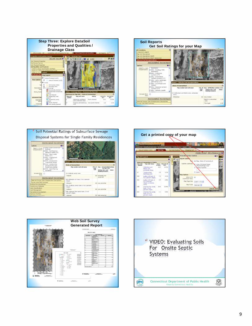
1 Connecticut Department of Public Health Keeping Connecticut Healthy Connecticut Department of Public Health Keeping Connecticut Healthy * * *To determine systems placement and size, soils testing is needed. *For residential buildings, size is based on number of bedrooms * Utilize soil-based identification to determine restrictive conditions in the soil that could restrict the flow and treatment of effluent. *Groundwater *Ledge rock *Compact soils *Bottom of the Leaching *18” above water, redox or compact layer (restrictive layer) *24” if a large system over 2000 GPD, located in a tidally impacted groundwater table or perc quicker than 5.0 minutes per inch *4’ over ledge rock, 24” of which is naturally occurring soil. 18” Restrictive condition Septic Tank Leaching field 18 or 24” separation Water table (actual or perched) Ground Surface ` Deep Test Pits https://www.youtube.com/watch?v=olNAI0gmCos Soil Profile
Transcript
1
Connecticut Department of Public HealthKeeping Connecticut Healthy
Connecticut Department of Public HealthKeeping Connecticut Healthy
*
**To determine systems placement and size, soils testing is needed.
*For residential buildings, size is based on number of bedrooms
* Utilize soil-based identification to determine restrictive conditions in the soil that could restrict the flow and treatment of effluent.
*Groundwater
*Ledge rock
*Compact soils
*Bottom of the Leaching *18” above water, redox or compact layer (restrictive layer)*24” if a large system over 2000 GPD, located in a tidally impacted groundwater table or perc quicker than 5.0 minutes per inch
*4’ over ledge rock, 24” of which is naturally occurring soil. 18”
Restrictive condition
Septic TankLeaching field
18 or 24” separation
Water table (actual or perched)
Ground Surface
`
Deep Test Pits
https://www.youtube.com/watch?v=olNAI0gmCos
Soil Profile
2
7
77”
0-12” Topsoil
12 - 30” Orange/Br Fine silt loam
30 - 48” Tan Fine Silt Loam
48 - 77” Gray Compact Sand w/ Gravel (Hardpan)
Soil Profile
https://www.youtube.com/watch?v=6ZibUOYUMbE
*
*Maximum Groundwater*the level to which groundwater rises for a duration of one month or longer during the wettest season of the year.
**Redoximorphic (redox) features
* redox- discoloration of the soil indicative to the seasonal high groundwater table
*Redox features form by the biogeochemical processes of reduction, movement, and oxidation of iron and manganese.
Credit: Peter Fletcher*
Credit: Peter Fletcher
Credit: Peter Fletcher Credit: Peter Fletcher
3
Seasonal High Groundwater
Generally speaking, the longer the period of soil saturation and reductionthe greater the % gray colors
Credit: Peter Fletcher
*
*Ledge rock
B103 a-e 18
4
**Various combination of different size of mineral particles form soil texture.
Different textures based on their particle sizes.• Fine textured soil • Moderately fine
textured soil • Medium textured
soil • Coarse textured soil
Tools of the trade.-Field flow chart-Tape measure-Water bottle-Filed book or soils form and pencil
*Arrangement of soil particles is called soil structure.
Types of aggregates-
*Granular – small , spherical, non porous (< 0.5 cm), found in horizons, roots growth
*Platy – thin, flat plates that lie horizontally; usually found in compacted soil
*Blocky – irregular blocks, may be aggregated (1.5 – 5.0 cm)
*Columnar – vertical columns of soil having salt ‘caps’ at the top; found in soils of arid climates
*Prismatic – vertical columns of soil; usually found in lower horizons
*Single grained – soil is broken into individual particles that do not stick together; loose consistency; commonly found in sandy soil
*Soil Coloring Agents
*Organic matter: brown to black
*Iron: yellow, orange, and red
*Manganese: purplish black
*Saturated soils: gray and blue
Organic Matter
Credit: Peter Fletcher
6
• Topsoil, typically brown color, mix of organic and mineral
• Subsoil, dark yellowish brown color, iron oxide (rust) coatings on sand and silt particles
• Substratum, color of mineral soil particles (unweathered geologic sediments)
Typical Colors of an Upland Soil
Credit: Peter Fletcher
There are several different forms of iron within the soil that range in color from yellow, orange, to brick red
Credit: Peter Fletcher
ManganesePurplish black color
Credit: Peter Fletcher
*
*Important factor when designing a septic system
*The naturally occurring soil surrounding leaching systems should be capable of dispersing the entire volume of sewage effluent discharged on a continuous basis
*Minimum Leaching System Spread (MLSS)
*Percolation Test (Perc) measures the rate at which water moves into a saturated soil.
Minimum Leaching System Spread
*MLSSCalculation to determine how long a leaching system needs to be. (more to come…)
36
https://www.youtube.com/watch?v=uimJY25uMR8
Soil Basics
stop at 4:31
7
Connecticut Department of Public HealthKeeping Connecticut Healthy
Connecticut Department of Public HealthKeeping Connecticut Healthy