Department of Fisheries and Oceans Canada: An Update on Research and Monitoring Activities Moors-Murphy, H.B. 1 1 Fisheries and Oceans Canada, Bedford Institute of Oceanography, 1 Challenger Drive, Dartmouth, N.S., B2Y 4A2 [email protected]Fisheries and Oceans Canada leads and collaborates on many research and monitoring projects relevant to cetaceans in the Northwest Atlantic, including activities focused on increasing our understanding of North Atlantic right whale distribution, movement patterns and habitat use in eastern Canadian waters. This presentation will provide an overview of recent science activities that have been or are being conducted that will contribute to our knowledge of right whale occurrence in Canadian waters. These activities include visual survey and surveillance efforts, passive acoustic monitoring projects, habitat suitability modelling, prey studies and other work.
Transcript
Department of Fisheries and Oceans Canada: An Update on Research and Monitoring Activities Moors-Murphy, H.B.1
1 Fisheries and Oceans Canada, Bedford Institute of Oceanography, 1 Challenger Drive, Dartmouth, N.S., B2Y
4A2 [email protected] Fisheries and Oceans Canada leads and collaborates on many research and monitoring projects relevant to cetaceans in the Northwest Atlantic, including activities focused on increasing our understanding of North Atlantic right whale distribution, movement patterns and habitat use in eastern Canadian waters. This presentation will provide an overview of recent science activities that have been or are being conducted that will contribute to our knowledge of right whale occurrence in Canadian waters. These activities include visual survey and surveillance efforts, passive acoustic monitoring projects, habitat suitability modelling, prey studies and other work.
Department of Fisheries and Oceans Canada:
An Update on Research and Monitoring Activities
Annual NARWC Meeting October 22nd 2017
Dr. Hilary Moors-Murphy Research Scientist
Fisheries and Oceans Maritimes Region
Photo: H. Moors-Murphy, Canadian Whale Institute and New England Aquarium
Acknowledgements • Thank you to the following
groups/organizations who contributed to the work described in these slides: – NOAA’s Northeast Fisheries Science
Center
– Canadian Whale Institute
– New England Aquarium
– Mingan Island Cetacean Study
– JASCO Applied Sciences
– Taggart Lab, Dalhousie University
– Transport Canada
– DFO Maritimes, Gulf, Quebec and Newfoundland Regions
(and any others involved with this work!)
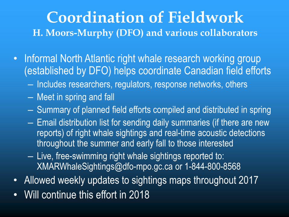
Coordination of Fieldwork H. Moors-Murphy (DFO) and various collaborators
• Informal North Atlantic right whale research working group (established by DFO) helps coordinate Canadian field efforts – Includes researchers, regulators, response networks, others
– Meet in spring and fall
– Summary of planned field efforts compiled and distributed in spring
– Email distribution list for sending daily summaries (if there are new reports) of right whale sightings and real-time acoustic detections throughout the summer and early fall to those interested
– Live, free-swimming right whale sightings reported to: [email protected] or 1-844-800-8568
• Allowed weekly updates to sightings maps throughout 2017
• Will continue this effort in 2018
Summary of Visual Monitoring Efforts 2017 DFO, NOAA, Transport Canada, Canadian Whale Institute, New
England Aquarium, Mingan Island Cetacean Study, and others
Figure courtesy of Phil Greyson, DFO
Aerial Surveillance Efforts 2017 DFO, NOAA, Transport Canada
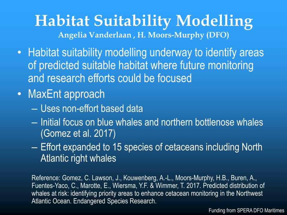
Habitat Suitability Modelling Angelia Vanderlaan , H. Moors-Murphy (DFO)
• Habitat suitability modelling underway to identify areas of predicted suitable habitat where future monitoring and research efforts could be focused
• MaxEnt approach
– Uses non-effort based data
– Initial focus on blue whales and northern bottlenose whales (Gomez et al. 2017)
– Effort expanded to 15 species of cetaceans including North Atlantic right whales
Reference: Gomez, C. Lawson, J., Kouwenberg, A.-L., Moors-Murphy, H.B., Buren, A., Fuentes-Yaco, C., Marotte, E., Wiersma, Y.F. & Wimmer, T. 2017. Predicted distribution of whales at risk: identifying priority areas to enhance cetacean monitoring in the Northwest Atlantic Ocean. Endangered Species Research.