10
Desktop/Cartography
| Date post: | 17-Jan-2016 |
| Category: |
Documents |
| Upload: | egbert-johns |
| View: | 222 times |
| Download: | 0 times |
Desktop/Cartography
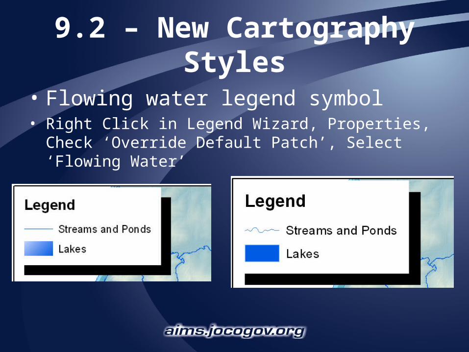
9.2 – New Cartography Styles
• Flowing water legend symbol• Right Click in Legend Wizard, Properties, Check
‘Override Default Patch’, Select ‘Flowing Water’

9.2 – New Cartography Styles
• Custom Fill Symbols• Vignettes give the effect of shallow & deep water• Sun Glints give the effect of sunlight on water

Cartography – New for 9.3
• Dispense Markers tool• Larger selection handles & vertices• WYSIWYG (what you see is what you
get) editing• Add Control Points by Location tool• More toolbar shortcuts• 9.3 will be a big release for Maplex
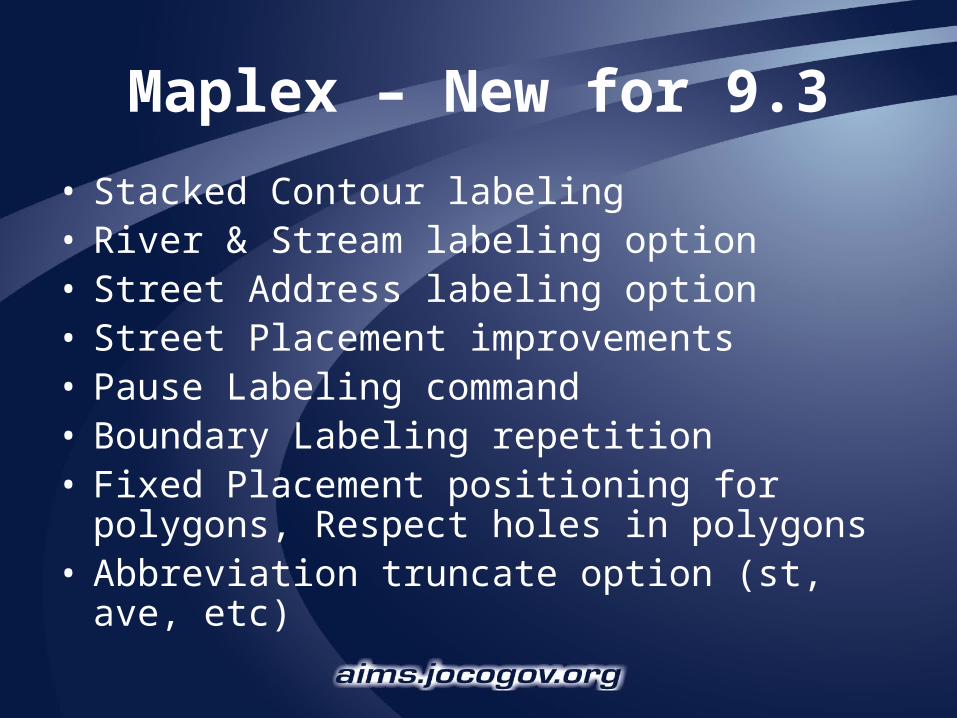
Maplex – New for 9.3
• Stacked Contour labeling• River & Stream labeling option• Street Address labeling option• Street Placement improvements• Pause Labeling command• Boundary Labeling repetition• Fixed Placement positioning for polygons,
Respect holes in polygons• Abbreviation truncate option (st, ave, etc)

CAD data is GIS data
• Automatic grouping of layers types– No longer have feature dataset and drawing
dataset
• CAD features are rendered using display properties in the CAD drawing.
• Definition query, works the same as with GIS data– More fields are supported, searching can be
more precise.
• CAD data works as input to many geoprocessing tasks

Integrating CAD data into GIS
• According to ESRI as much as 70% of existing GIS data has been derived from CAD sources
• Georeferencing toolbar now allows users to interactively rotate, scale, and move CAD files– World files are automatically created with
Georeferencing tool, no longer need manually edit a text file.
• Can assign a projection to multiple CAD files at the same time by saving them in the same directory with ESRI_CAD.prj,
• Transform multiple files with ESRI_CAD.wld• New tool has been added to samples toolbox
which converts CAD data to feature class with the attributes of the nearest point.

Moving the “Opposite” Direction
ArcGIS for AutoCAD• ArcGIS for AutoCAD is a free application
that installs on top of AutoCAD 2007• Provides access to GIS mapping and
geoprocessing capabilities within AutoCAD.
• Leverages ArcGIS Server map services to– View/include “live” GIS maps in their CAD
designs– Access GIS feature attributes in CAD directly
using an integrated Identify tool– Include the results of geoprocessing tools in
their CAD designs
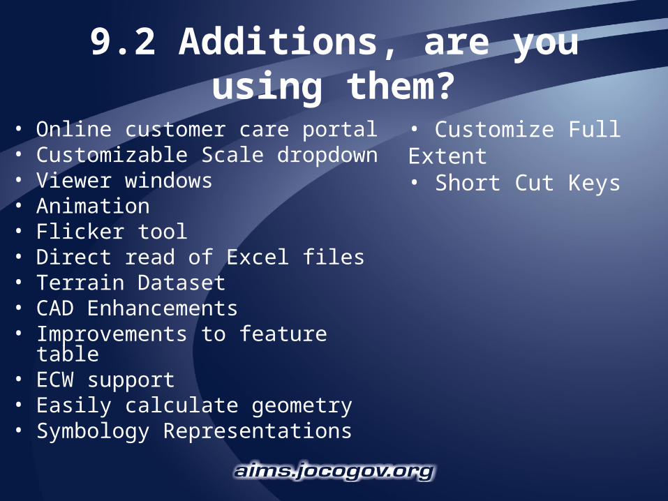
9.2 Additions, are you using them?
• Online customer care portal • Customizable Scale dropdown• Viewer windows• Animation• Flicker tool• Direct read of Excel files• Terrain Dataset• CAD Enhancements• Improvements to feature table• ECW support• Easily calculate geometry• Symbology Representations
• Customize Full Extent• Short Cut Keys


