14
Development of an ArcView GIS Coverage of Illinois Superfund Sites Mark Yacucci Center for Transportation and the Environment Illinois State Geological Survey
| Date post: | 24-Dec-2015 |
| Category: |
Documents |
| Upload: | phillip-robbins |
| View: | 214 times |
| Download: | 0 times |
Development of an ArcView GIS Coverage of Illinois Superfund
Sites
Mark Yacucci
Center for Transportation and the Environment
Illinois State Geological Survey
Acknowledgements
Anne Erdmann - Co investigator - ISGS
John Sieving - Co investigator - ISGS
John R. Washburn - Contract Sponsor - IDOT
USEPA
IEPA

Background
The ISGS – IDOT Partnership Established in March 1989 The ISGS Environmental Site Assessments Section
performs Preliminary Environmental Site Assessments (PESAs) for IDOT

Why CERCLIS?
Most troublesome sites Spatially Environmentally
Moderate record size
Decent USEPA and IEPA file availability

Mapping Process
Mapping order Counties in the Chicago area are being mapped
first
Other urban areas second
Rural counties last

Mapping Process
Data Collection Sources
USEPA CERCLIS database
IEPA files
County tax record maps
Aerial photographs
USGS topographic maps

Mapping Process
Data Collection Additional information
Site property boundaries
Local names and addresses
State ID numbers
Mapping Process
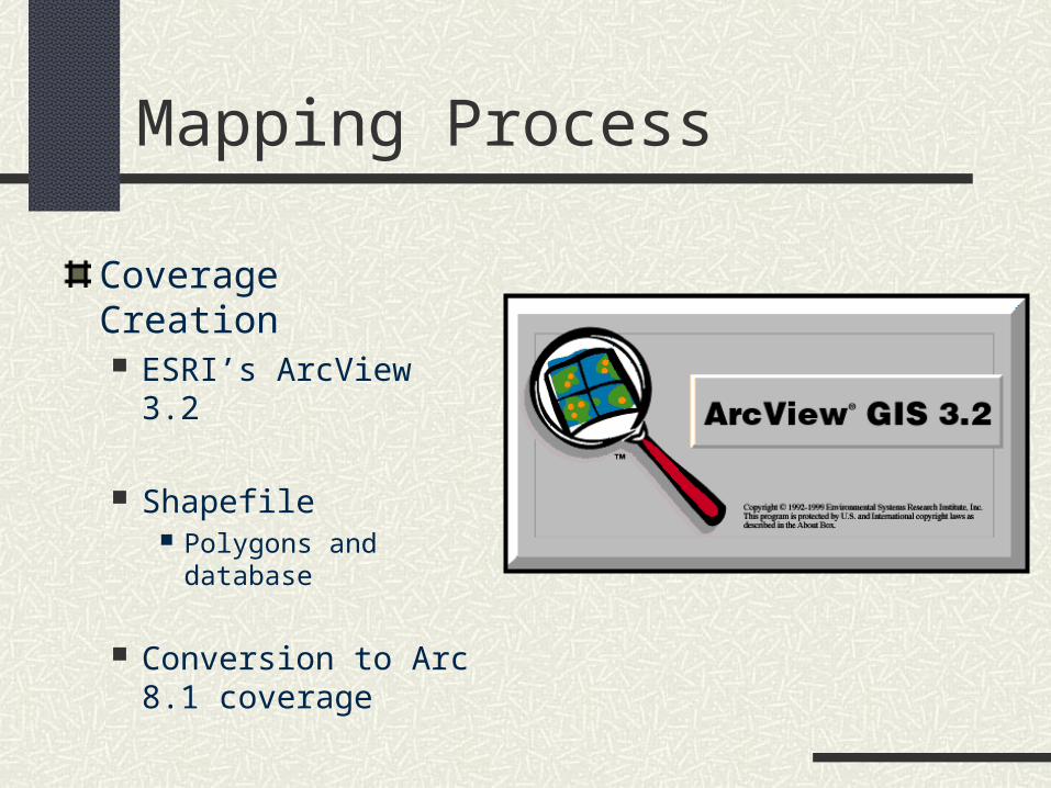
Coverage Creation ESRI’s ArcView 3.2
Shapefile Polygons and database
Conversion to Arc 8.1 coverage

IDOT District 1

Will County, Illinois

Will County, Illinois

Time Frame
Currently two Chicago counties are completed
Chicago area completed by Mid-2002
State completed by early 2003

Updates
Coverage and Database will be updated on an annual/biannual basis Updates to include
New sites
Changes in site status
Corrections to original coverage

The Future
Coordination with other Illinois agencies
Other databases UST LUST Landfills


