12
Development of Geographical Information System (GIS) for water and sewerage networks in East Sarajevo Dejan Romić, PUC „Vodovod i kanalizacija“ j.sc E. Sarajevo Vienna, May 7th
| Date post: | 19-Dec-2015 |
| Category: |
Documents |
| Upload: | richard-wright |
| View: | 217 times |
| Download: | 2 times |

Development of Geographical Information System (GIS) for water and sewerage networks in East Sarajevo
Dejan Romić, PUC „Vodovod i kanalizacija“ j.sc E. SarajevoVienna, May 7th

Introduce WSS East Sarajevo
• PUC „Vodovod i kanalizacija“ jsc from East Sarajevo
• General data: – provides service for 32 000 residents with 10
500 water connections– 3 main water sources are: Tilava (180 l/s),
Grabski mlini (25l/s) and Ljustra (30l/s)– Water supply system length 190km and 70km
of sewer system

Why GIS?
The main priorities indetified in WSS Study by MDGF:Developing GISDevelopment of water supply system's hydraulic modelSCADA remote control system Network research and defect repair in water supply system
Development of GIS
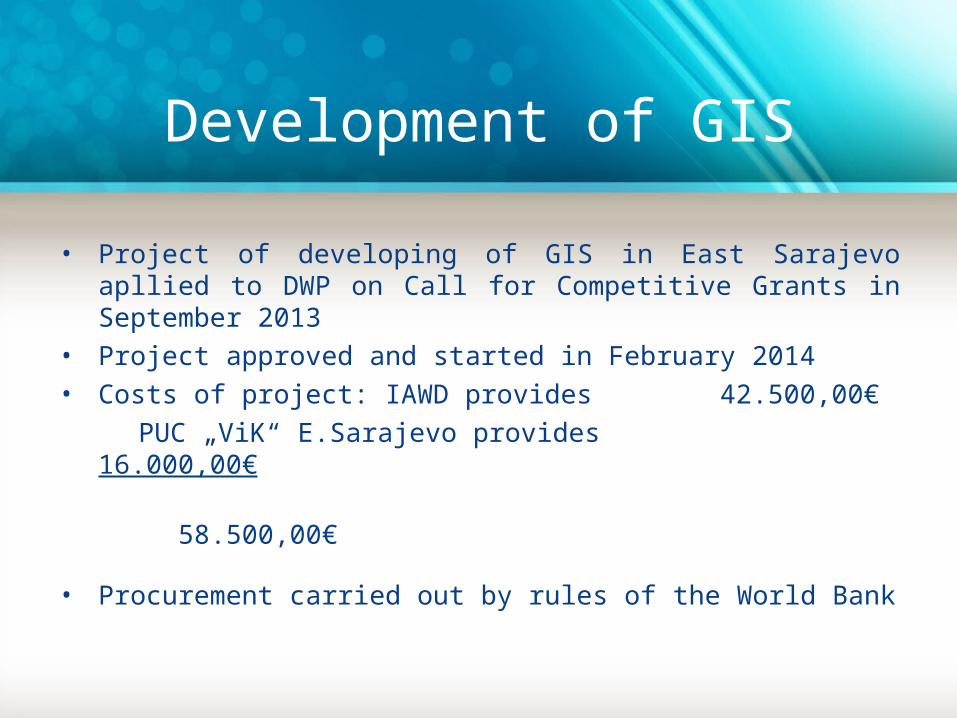
• Project of developing of GIS in East Sarajevo apllied to DWP on Call for Competitive Grants in September 2013
• Project approved and started in February 2014• Costs of project: IAWD provides 42.500,00€ PUC „ViK“ E.Sarajevo provides 16.000,00€ 58.500,00€
• Procurement carried out by rules of the World Bank
Development of GIS
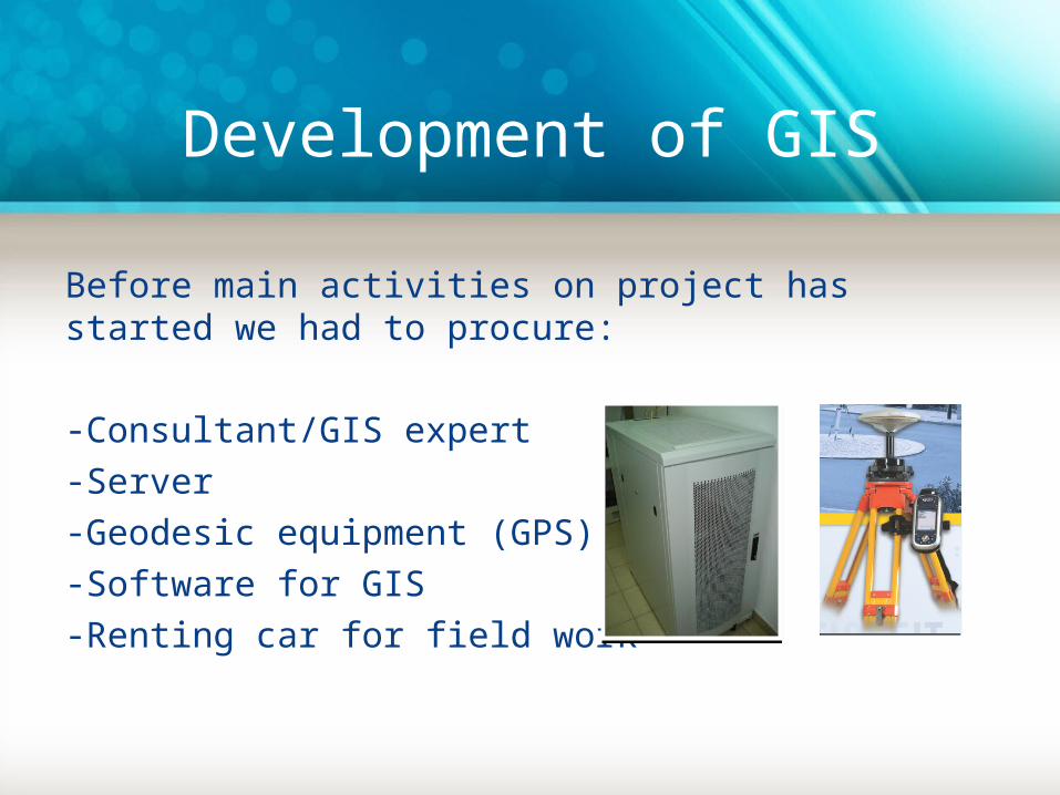
Before main activities on project has started we had to procure:
-Consultant/GIS expert-Server-Geodesic equipment (GPS)-Software for GIS-Renting car for field work

Development of GIS
Phases on project activities:-Gathering all previously used data in .dwg, .shp, and other formats and converting to .tab files (MapInfo format)-Making new layers with attribute structure compatible with hydraulic systems and models-Collecting data on field with geodesic equimpment-Training for GIS staff to work on GIS data
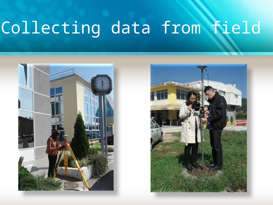
Collecting data from field
Development of GIS
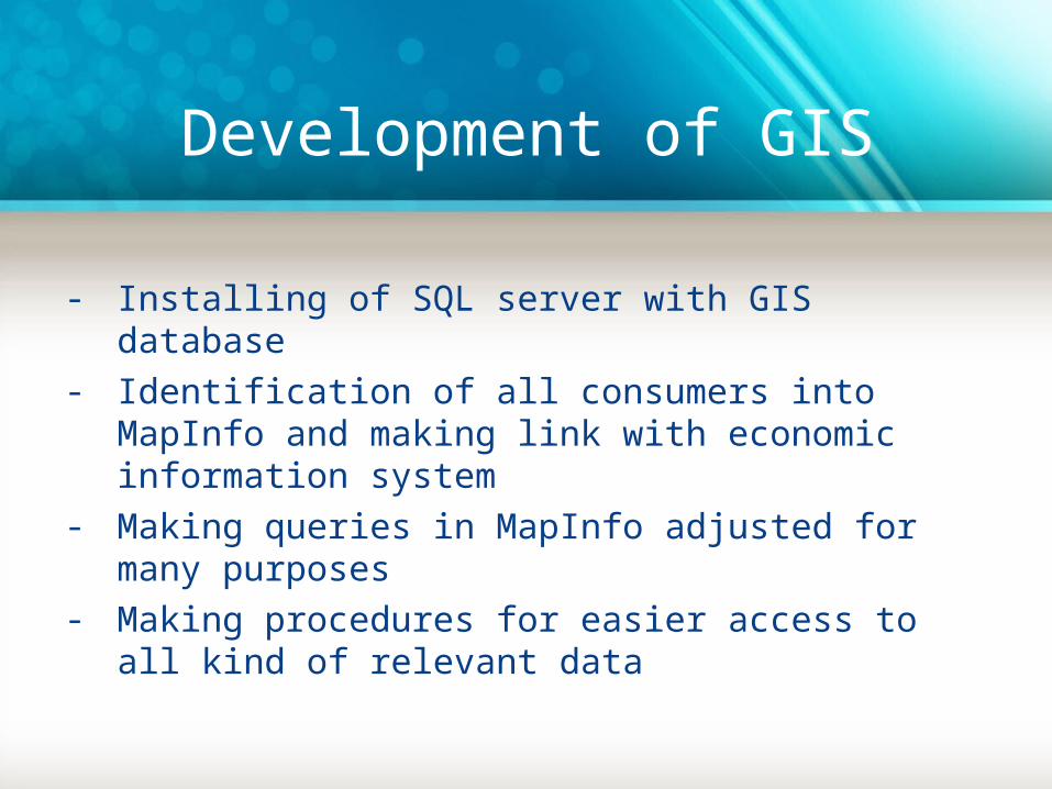
- Installing of SQL server with GIS database - Identification of all consumers into MapInfo and
making link with economic information system- Making queries in MapInfo adjusted for many
purposes- Making procedures for easier access to all kind of
relevant data

Working space in GIS software
Attributes for consumer Attributes for water pipes

Mix of queries for pipe system

Conclusion

THANK YOU!


![Untitled-1 []...Logisticki Centar "DROGERI MARKT" Érd Benzinske pumpe Parking na Autoputu M7 DRŽAVNI I GRADSKI PROJEKTI • AUTOPUT M7 Becsehely-Letenye Kanalizacija Szeged Kanalizacija](https://static.documents.pub/doc/80x56/5e2ec4dcae284623691b41da/untitled-1-logisticki-centar-drogeri-markt-rd-benzinske-pumpe.jpg)


