1 DGPS Concepts Learning Objectives After completing this lecture you will be able to: – Explain errors in point positioning – List accuracy expected from various GPS measurement techniques – Explain the process of Differential GPS – Describe how errors are minimised by using DGPS Lecture Outline • Introduction – context • Accuracy Issues • SA • Dilution of Precision (DOP) • Error sources • Satellite Visibility • Differential Correction – Post-processed – Real-time • Conclusion/Summary LST
Transcript
1
DGPS Concepts
Learning Objectives
After completing this lecture you will be able to:
– Explain errors in point positioning– List accuracy expected from various
GPS measurement techniques– Explain the process of Differential GPS– Describe how errors are minimised by
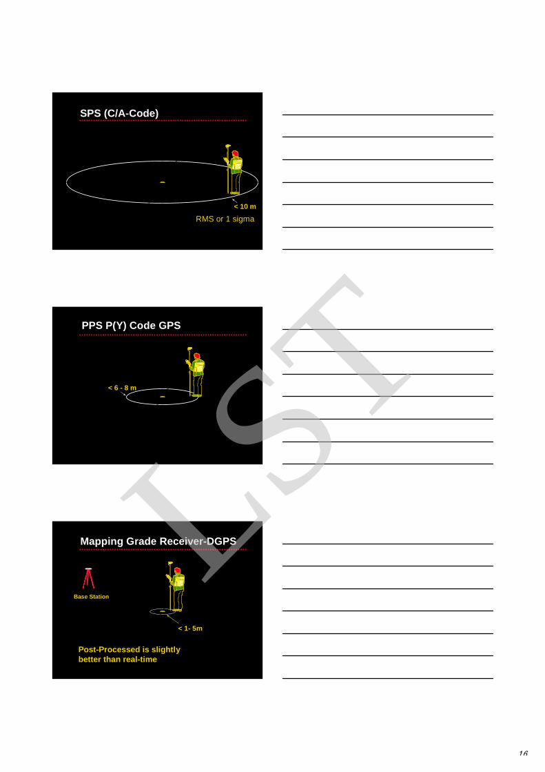
• 3 Levels of accuracy:– Point Positioning (Codes)– Differential Positioning (Codes)– GPS Surveying (also a differential
technique but uses carrier phase)• Point positioning uses the code
observable• Point positioning is subject to many
error sources• Differential techniques (DGPS) can
minimise these errors
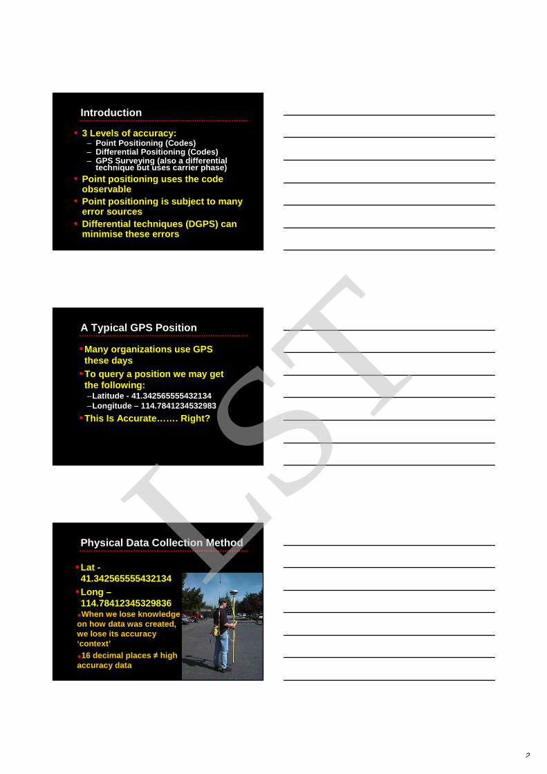
A Typical GPS Position
•Many organizations use GPS these days
•To query a position we may get the following:–Latitude - 41.342565555432134–Longitude – 114.7841234532983
•This Is Accurate…… . Right?
Physical Data Collection Method
•Lat -41.342565555432134
•Long –114.78412345329836
�When we lose knowledge on how data was created, we lose its accuracy ‘context’�16 decimal places ≠ high accuracy data
LST
3
Primary GPS Error Sources
•Wave path errors (ionospheric and tropospheric)
•Satellite orbit errors
•Multipath
•Satellite Geometry (High PDOP)
•Satellite Constellation Changes
Meters
S/A (now turned off)
Atmospheric
Ephemeris
Satellite Clocks
0 20 40 60 80 100
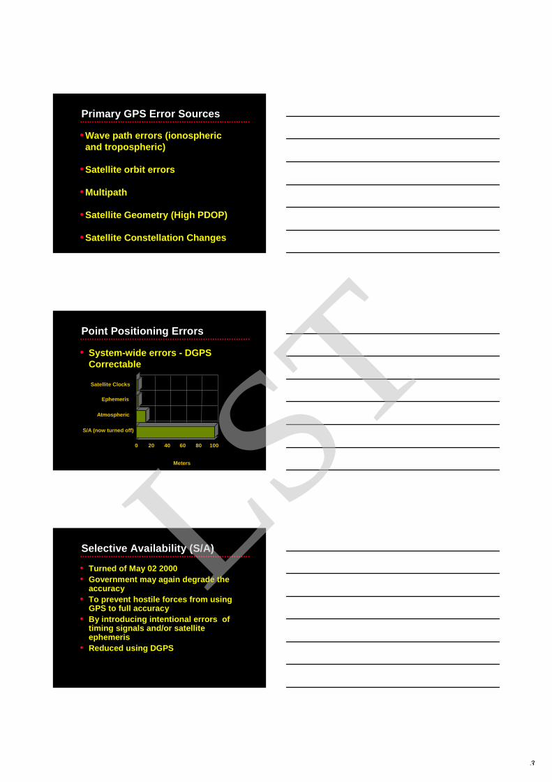
Point Positioning Errors
• System-wide errors - DGPS Correctable
Selective Availability (S/A)
• Turned of May 02 2000• Government may again degrade the
accuracy • To prevent hostile forces from using
GPS to full accuracy • By introducing intentional errors of
timing signals and/or satellite ephemeris
• Reduced using DGPS
LST
4
-200-180-160-140-120-100
-80-60-40-20
020406080
100120140160
0 1 2 3 4 5 6 7 8 9 10
Time of Day (Hours UTC)
Inst
anta
neou
s E
rror
(m
eter
s)
Horizontal Error (meters)Vertical Error (meters)
2 May 2000Colorado Springs, Colorado
ANALYSIS NOTES
- Data taken from Overlook PAN Monitor Station, equipped with Trimble SVeeSix Receiver- Single Frequency Civil Receiver- Four Satellite Position Solution at Surveyed Benchmark- Data presented is raw, no smoothing or editing
SPS CEP AFTER TRANSITION: 2.8 metersSPS SEP AFTER TRANSITION: 4.6 meters
May 2000
Satellite Orbit Errors
•Satellite isn’t really where it says it is
•2-3 meters of error
X2 Y2 Z2
X Y ZEphemeris (X
Y Z)
X
Constellation Changes
• Position P3 computed using ranges to satellites 1, 2, 3, 4, 5 and 6
• Position P4 computed using satellites 4, 5, 6, 7 and 8
P3
S1 S2
S3
S4
S5
S6 S7
S8
X XP1P2
XP4
LST
5
Atmospheric Errors
• Due to the ionosphere and troposphere, measured range to satellite is longer
True Range to SatelliteMeasured Range
Ionosphere
Troposphere
• Contributes around 4-5 meters of range error
Atmospheric Delay
• GPS signals are delayedas they pass throughthe atmosphere
Ionosphere
Baseline not too long
TroposphereBase
Rover
Receiver/Location Errors
DGPS won’t help:• Multipath
– Use a ground plane on antenna– Move away from multipath source
• Receiver Channel noise– Use a different GPS receiver
• 2-D fix with a bad altitude– Use Manual 3D when collecting data
• High PDOP– Wait for the geometry to change
LST
6
Multipath
• GPS computes position by measuring ranges to satellites
• Receiving a signal reflected off anything, will result in an incorrect range
• This results in an incorrect position computation
Dilution of Precision (DOP)
• A measure of Satellite geometry• Indicates the quality of position
fix• Can be expressed in different
dimensions– for example: PDOP, HDOP, VDOP,
TDOP
• Generally not reduced by DGPS
idealized situation
0.04 sec 0.06 sec
Dilution of Precision (DOP)
• Relative position of satellites can affect error LST
7
Dilution of Precision (DOP)
• Real situation - fuzzy circles
Point representing position is really a box
0.04 ‘ish sec 0.06 ‘ish sec
uncertainty uncertainty
Area of uncertainty becomes larger as satellites get closer together
Dilution of Precision (DOP)
• Even worse at some angles
Satellite Visibility and PDOP
• Use an almanac from a GPS receiver to calculate best times of day for GPS. LST
8
The Proximity Factor
Activity - Quiz
Which of the following errors do you think can be reduced using DGPS?
• Multipath• Receiver Channel noise• High DOPs• Satellite clock errors• Atmospheric corrections• Poor ephemeris data
Differential Correction
• Base Station generates corrections for all satellites in view
• Roving GPS receiver uses corrections to reduce errors
• Differential correction can be performed in either real-time or post-processed mode
LST
9
BASE
Time, t
t + 1GPS Positions
Absolute ReferencePosition
Differential Correction (Simplified)
• If you collect data at one location, there will be errors
• Each of these errors are tagged with GPS time
ROVER
Time, t
t + 1
?
Differential Correction (Cont.)
• At the same time, the errors occurring at one location are occurring everywhere within the same vicinity
Satellites Seen1 2 3 4 5 6 7 8
Satellites Used1 2 3 41 3 5 6Any Combination of Base satellites
ROVER
Time, t
t + 1
?BASE
Time, t
t + 1
Differential Correction (Cont.)LST
10
Base Receiver Known
Coordinates
Shift 10m South30m West
Block Shift Correction
RemoteReceiverMeasured
Coordinates
Apply same Block Shift
MeasuredCoordinates
FinalCoordinates
Base Receiver
Range Correction
RangeCorrection
Remote Receiver
RangeCorrection
Example of DGPS CorrectionsExample of DGPS Corrections
Uncorrected
Corrected
LST
11
DGPS DGPS –– BenefitsBenefits
Red = Uncorrected GPS
Green = GPS after differential correction
Code GPS Errors and DGPS
•Wave path errors (ionospheric and troposperic) – corrected by DGPS