● gvSIG Mobile 0.3 has been adapted for Leica Zeno
● Windows CE 6.0
● Higher capacity of data storage
● Supports: SBAS as WASS/EGNOS, etc. and DGPS
2. gvSIG Mobile 1.0 (under development)
● New compatible architecture
● Re-written from scratch
● Core compatible with gvSIG Desktop 2.0
● New GUI based on LW VCL
● OSGi extensibility
● New SRS support: Java Map Library
2. gvSIG Mobile 1.0 (under development)
● Access to WFS 1.0.0 and 1.1.0 (only read)
● Thematic maps by unique values
● Labelling
● Vector Data: Advanced editing
● Alphanumeric Data : Modify Tables
2. gvSIG Mobile 1.0 (under development)
● Advanced GPS Location
● New devices collection
● TSIP and RawData support
● NTRIP differential correction
● LandMarkStores Management (Local)
● Personal Data Base of LMS
● Add/Search/view of POIs/routes
● Editing of POIs/routes (including waypoints)
2. gvSIG Mobile 1.0Work in progress:
● Tiles support● Geosynchronization via WFS-T ● New navegation through waypoints of LMS ● Integration with OpenStreetMap● Sensor features through the Sensor Observation Service (SWE)● Hybrid location● etc.
Contents
1. Mobile applications in gvSIG Project
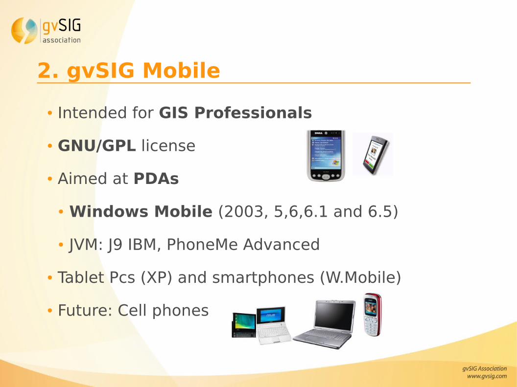
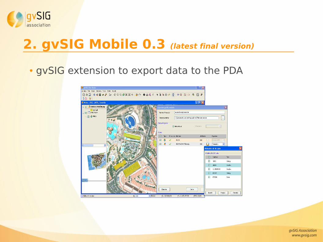
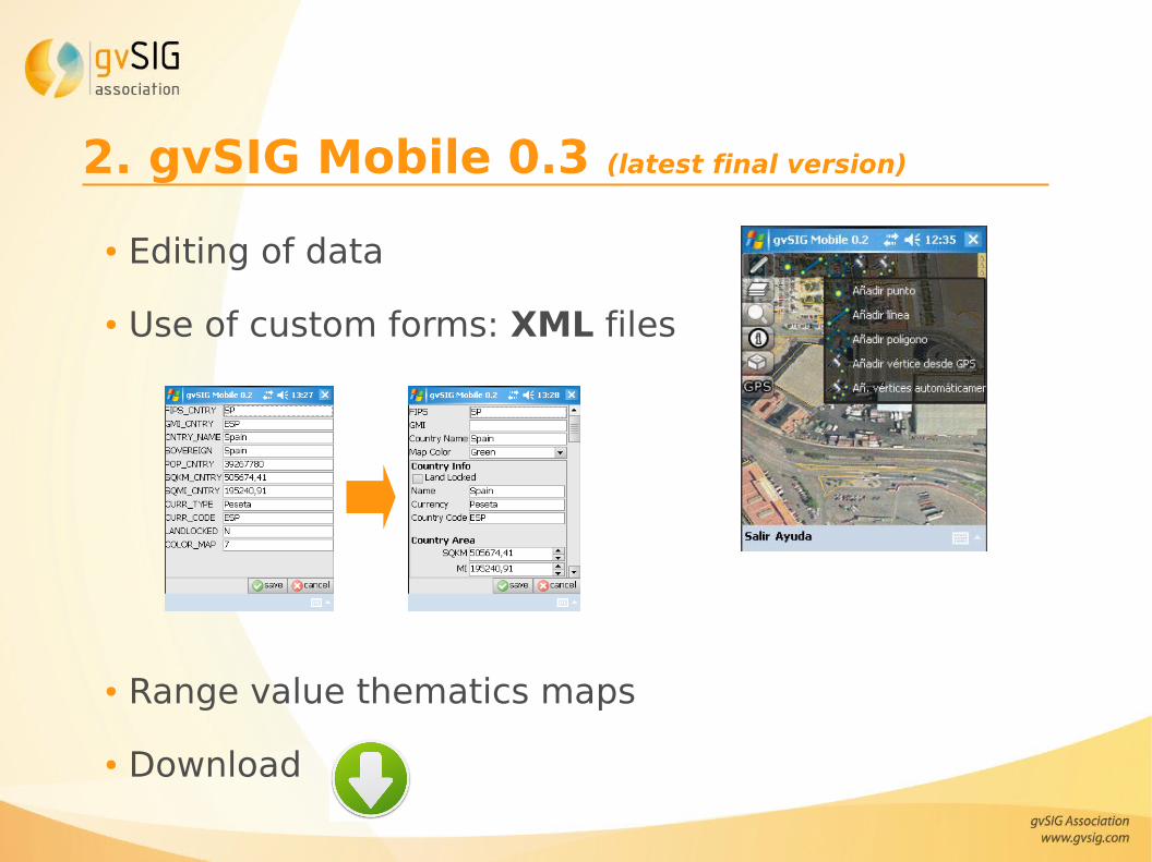
2. gvSIG Mobile
3. gvSIG Mini
4. Differences between applications
5. Videos
6. Useful links
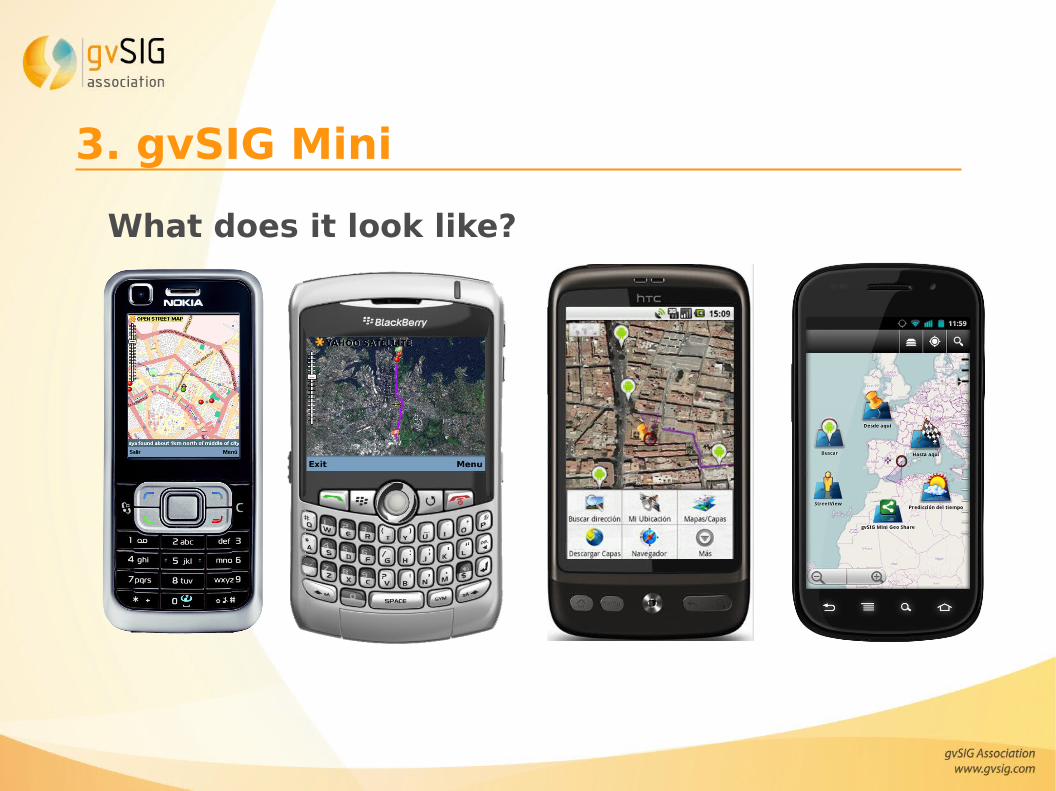
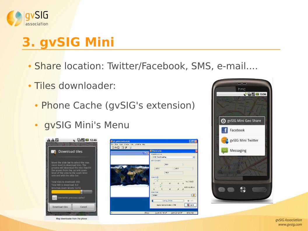
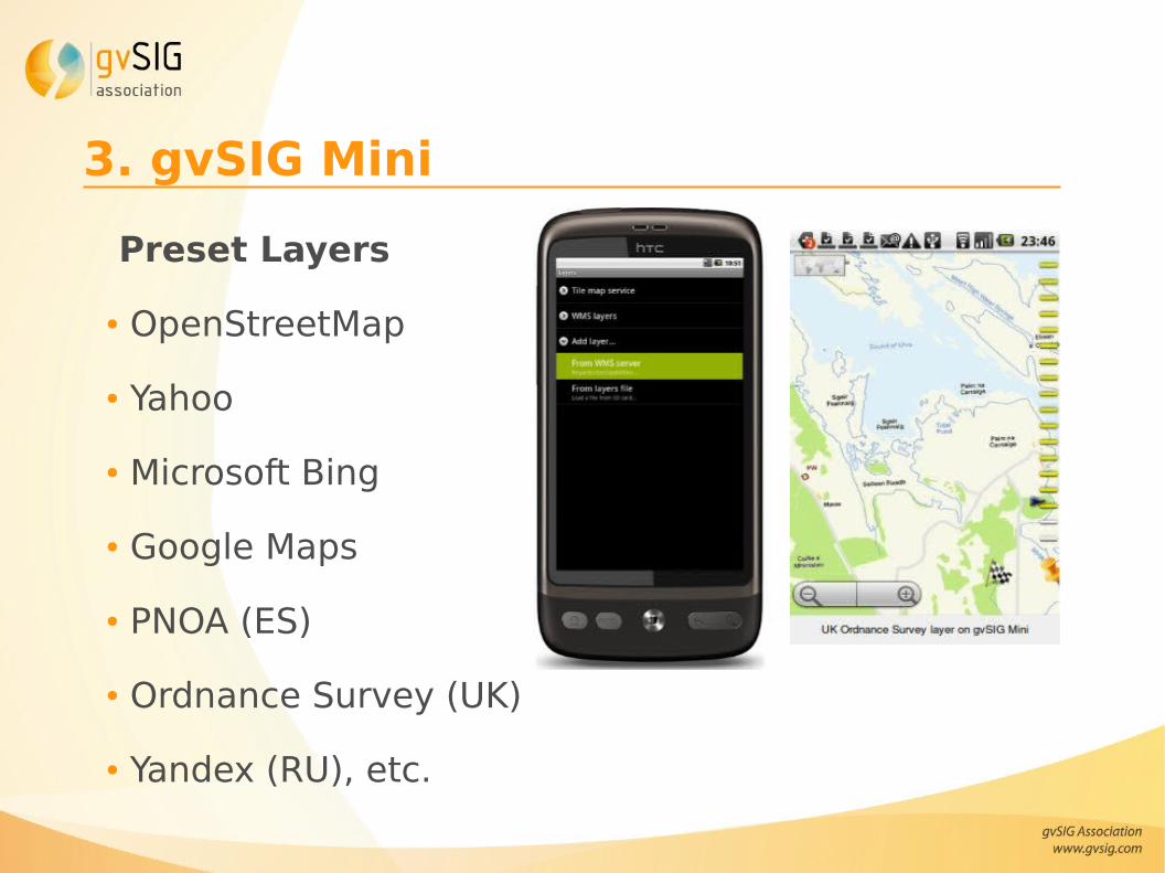
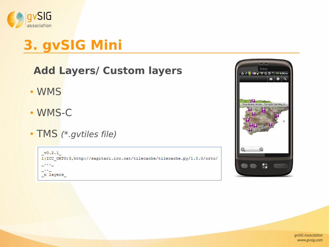
3. gvSIG Mini
● Open Source Map viewer of free internet tiled maps and WMS/-C and TMS for mobile phones
● Map download directly from the mobile phone, for off-line usage.● Off-line mode for viewing maps with no data connection● Multi touch support● New map rendering system, much more agile● Standard Android search button support● New layers available by default● New cache options● Android 2.2 support (now from 1.5 to 2.2)● UK Ordnance Survey true maps (rendered by OS)
3. gvSIG MiniWork in progress● WFS client (near future)● Google Summer of Code 2011:
● “Tiled vector support of non-standard services data: Panoramio, Flickr, Foursquare, Wikipedia, Buzz, Youtube, etc