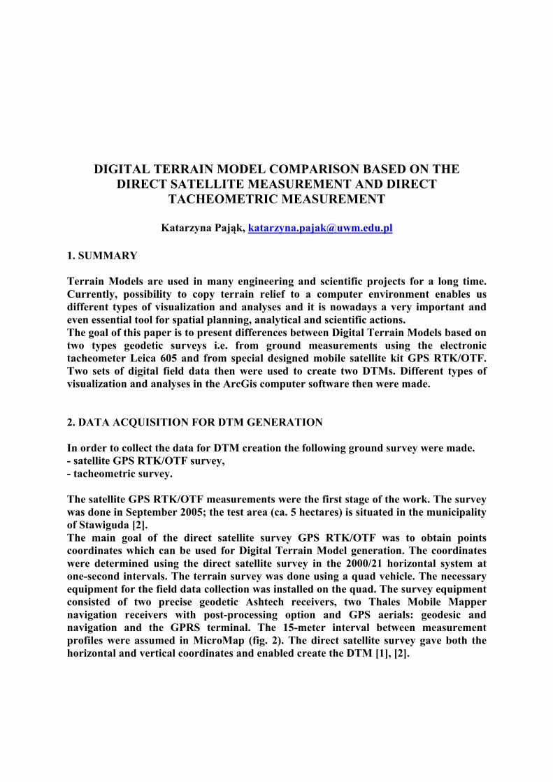
DIGITAL TERRAIN MODEL COMPARISON BASED ON THE DIRECT SATELLITE MEASUREMENT AND DIRECT TACHEOMETRIC MEASUREMENT Katarzyna Pająk, [email protected]1. SUMMARY Terrain Models are used in many engineering and scientific projects for a long time. Currently, possibility to copy terrain relief to a computer environment enables us different types of visualization and analyses and it is nowadays a very important and even essential tool for spatial planning, analytical and scientific actions. The goal of this paper is to present differences between Digital Terrain Models based on two types geodetic surveys i.e. from ground measurements using the electronic tacheometer Leica 605 and from special designed mobile satellite kit GPS RTK/OTF. Two sets of digital field data then were used to create two DTMs. Different types of visualization and analyses in the ArcGis computer software then were made. 2. DATA ACQUISITION FOR DTM GENERATION In order to collect the data for DTM creation the following ground survey were made. - satellite GPS RTK/OTF survey, - tacheometric survey. The satellite GPS RTK/OTF measurements were the first stage of the work. The survey was done in September 2005; the test area (ca. 5 hectares) is situated in the municipality of Stawiguda [2]. The main goal of the direct satellite survey GPS RTK/OTF was to obtain points coordinates which can be used for Digital Terrain Model generation. The coordinates were determined using the direct satellite survey in the 2000/21 horizontal system at one-second intervals. The terrain survey was done using a quad vehicle. The necessary equipment for the field data collection was installed on the quad. The survey equipment consisted of two precise geodetic Ashtech receivers, two Thales Mobile Mapper navigation receivers with post-processing option and GPS aerials: geodesic and navigation and the GPRS terminal. The 15-meter interval between measurement profiles were assumed in MicroMap (fig. 2). The direct satellite survey gave both the horizontal and vertical coordinates and enabled create the DTM [1], [2].
Transcript
DIGITAL TERRAIN MODEL COMPARISON BASED ON THE DIRECT SATELLITE MEASUREMENT AND DIRECT
1. SUMMARY Terrain Models are used in many engineering and scientific projects for a long time. Currently, possibility to copy terrain relief to a computer environment enables us different types of visualization and analyses and it is nowadays a very important and even essential tool for spatial planning, analytical and scientific actions. The goal of this paper is to present differences between Digital Terrain Models based on two types geodetic surveys i.e. from ground measurements using the electronic tacheometer Leica 605 and from special designed mobile satellite kit GPS RTK/OTF. Two sets of digital field data then were used to create two DTMs. Different types of visualization and analyses in the ArcGis computer software then were made. 2. DATA ACQUISITION FOR DTM GENERATION In order to collect the data for DTM creation the following ground survey were made. - satellite GPS RTK/OTF survey, - tacheometric survey. The satellite GPS RTK/OTF measurements were the first stage of the work. The survey was done in September 2005; the test area (ca. 5 hectares) is situated in the municipality of Stawiguda [2]. The main goal of the direct satellite survey GPS RTK/OTF was to obtain points coordinates which can be used for Digital Terrain Model generation. The coordinates were determined using the direct satellite survey in the 2000/21 horizontal system at one-second intervals. The terrain survey was done using a quad vehicle. The necessary equipment for the field data collection was installed on the quad. The survey equipment consisted of two precise geodetic Ashtech receivers, two Thales Mobile Mapper navigation receivers with post-processing option and GPS aerials: geodesic and navigation and the GPRS terminal. The 15-meter interval between measurement profiles were assumed in MicroMap (fig. 2). The direct satellite survey gave both the horizontal and vertical coordinates and enabled create the DTM [1], [2].
– 302 –
Fig. 1. Direct satellite surveys schema.
Fig. 2. Spatial distribution of data gathered along the profiles during satellite survey.
Tacheometric survey of the given test area using electronic instrument Leica 605 with automatic recording of measured was used in the second stage of the work. The subject of the survey were the characteristic points of the terrain which allow a true presentation of a terrain relief (local extremes, height staff stations). The final horizontal and vertical position of the measured point was calculated using Winkalk software. The direct tacheometric survey gave both the horizontal coordinates and vertical coordinates and enabled create the DTM.
Reference station
GPS receiver
GPRS radio-modem
Diferences corrections GPRS radio-modem
GPS receiver, rover GPS/EGNOS/DGPS receiver
RTCM format SC-104
– 303 –
Fig. 3. Direct tacheometric survey.
Fig. 4. Spatial distribution of data gathered during direct tacheometric survey.
3. DTM GENERATION IN TIN STRUCTURES
Two models in TIN structures were generated to present the differences between the terrain models of the topography got from the data obtained from the two types of measurement (Fig. 5, 6). Then, terrain models of the test area were generated on the basis of raster image interpolation (already interpolated surface was converted to TIN structure, which enabled us the visualization and analyses of the surface).
– 304 –
Fig. 5. DTM in TIN structure (data obtained from direct satellite survey).
Fig. 6. DTM in TIN structure (data obtained from direct tacheometric survey
4. THE TIN SURFACES COMPARISON ANALYSES
The analysis consisted of the comparison between numerical TIN surface models from the data obtained from satellite and tacheometric measurements. The TIN surfaces created from the data obtained from the two methods of measurement were overlapped and next the mean, standard deviation, maximum and minimum value of difference in the of grids were calculated. The results are presented in figure 8. The standard deviation between two TIN surfaces is 2, 56 m, the average height was 0,04 m.
– 305 –
Fig. 7. Differences between the TIN models.
0,38
2,56
-1,8
0,04
-2
-1,5
-1
-0,5
0
0,5
1
1,5
2
2,5
3
[m]
Standard Deviation Maximum Minimum Mean
Fig. 8. Graphic presentation of standard deviation, mean, maximum and minimum value between TIN surfaces obtained tacheometric and satellite survey.
– 306 –
Fig. 9. DTM generated using data from satellite survey.
Fig. 10. DTM generated using data from tacheometric survey.
5. CONCLUSION Currently, the accuracy of the modern GPS measurement do not different from the total station classical method. GPS / RTK instruments allow execute a very precise measurements in a less time and requires much less effort than traditional methods [4]. In contrast to the tacheometric measurement, GPS survey requires only one observer, allows for a preview of the current measurements, their adjustment and adaptation of the required system of cocordinates. Due to these advantages, and faster, requiring less ttention handling the equipment, as well as the accuracy, it should be noted that currently, obtained GPS method of direct measurements are much better than used so far. Classic tacheometric measurement gives higher accuracy, but because of its requirements are inferior to the GPS RTK/OTF type of observations [5]. Land terrain models gains better ease and speed of preparation. This advantage can not be overestimated, since the terrain models are a very desired product in many branch of industry.
– 307 –
REFERENCES Oszczak B., Ciećko A., (2005): Modern System of Teletransmission of GSM/GPRS Data
in Monitoring and Satellite Navigation on Land, in the Air and in Waterways, NAWI No. 7 (9), September 2005.
Ciećko A, Oszczak B, Oszczak S., 2006: Driver – By DTM. GPS and GSM Power Cost – Effective Terrain Modelling, GPS World, April 2006, Vol.17, No. 4.
Gościewski D., Bojarowski K. – Technical Sciences, Suplement 2 (2005), Publisher UWM.
Pająk K., Ciećko A., Oszczak S., 2006: Analyses of Different Methods used for Creation of Digital Terrain Model (DTM). 8th Bilateral Geodetic Meeting Poland-Italy, Wrocław, Poland, Reports and Geodesy No. 2(77).
Pająk K., 2008: “Research and analysis of DTM creation technology of using satellite, classic and photogrammetric methods” Ph.D. Thesis, Olsztyn.