45
DigitalGlobe Proprietary Public-Private Partnership – An Industry Perspective Kumar Navulur, PhD
| Date post: | 22-Dec-2015 |
| Category: |
Documents |
| Upload: | stewart-carson |
| View: | 215 times |
| Download: | 0 times |

DigitalGlobe Proprietary
Public-Private Partnership – An Industry
PerspectiveKumar Navulur, PhD
DigitalGlobe Proprietary
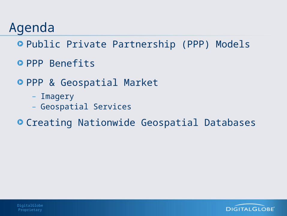
AgendaPublic Private Partnership (PPP) Models
PPP Benefits
PPP & Geospatial Market– Imagery– Geospatial Services
Creating Nationwide Geospatial Databases
DigitalGlobe Proprietary
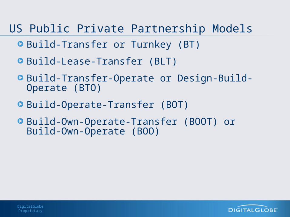
US Public Private Partnership ModelsBuild-Transfer or Turnkey (BT)
Build-Lease-Transfer (BLT)
Build-Transfer-Operate or Design-Build-Operate (BTO)
Build-Operate-Transfer (BOT)
Build-Own-Operate-Transfer (BOOT) or Build-Own-Operate (BOO)
DigitalGlobe Proprietary
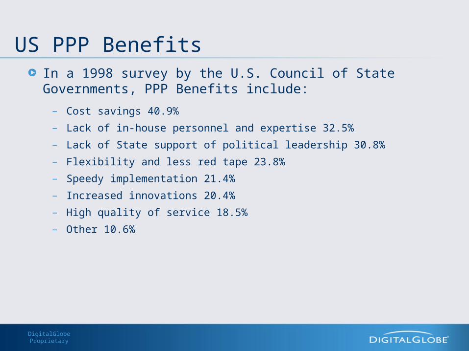
US PPP BenefitsIn a 1998 survey by the U.S. Council of State Governments, PPP Benefits include:
– Cost savings 40.9%
– Lack of in-house personnel and expertise 32.5%
– Lack of State support of political leadership 30.8%
– Flexibility and less red tape 23.8%
– Speedy implementation 21.4%
– Increased innovations 20.4%
– High quality of service 18.5%
– Other 10.6%
DigitalGlobe Proprietary
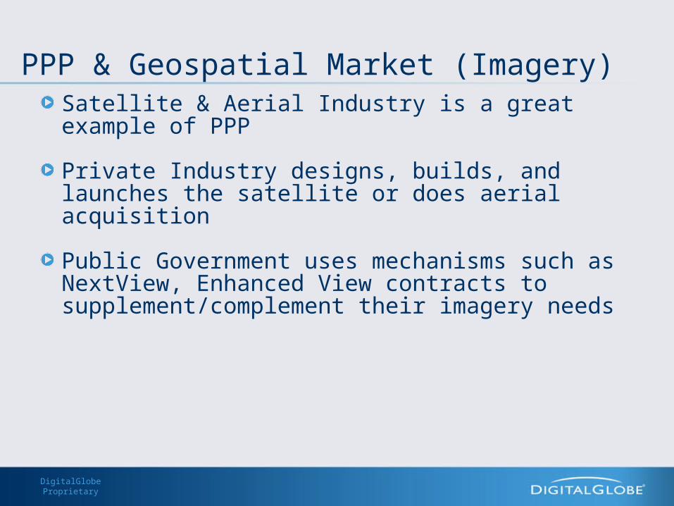
PPP & Geospatial Market (Imagery)Satellite & Aerial Industry is a great example of PPP
Private Industry designs, builds, and launches the satellite or does aerial acquisition
Public Government uses mechanisms such as NextView, Enhanced View contracts to supplement/complement their imagery needs
DigitalGlobe Proprietary
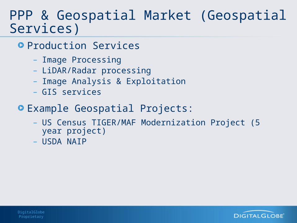
PPP & Geospatial Market (Geospatial Services)Production Services
– Image Processing– LiDAR/Radar processing– Image Analysis & Exploitation– GIS services
Example Geospatial Projects:– US Census TIGER/MAF Modernization Project (5 year project)– USDA NAIP

DigitalGlobe Proprietary
Creating Nationwide Databases – the PPP Model
Data– Trends in Data
• Increasing accuracy
• Number of sources increasing– Errors
• Important to account for error propagation– Design the geospatial databases/Infrastructure for long term use
DigitalGlobe Proprietary
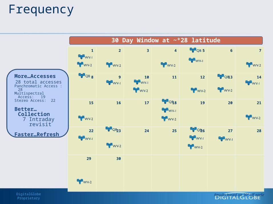
1 2 3 4 5 6 7
8 9 10 11 12 13 14
15 16 17 18 19 20 21
22 23 24 25 26 27 28
29 30
30 Day Window at ~º28 latitude
More…Accesses28 total accesses
Panchromatic Access : 28Multispectral Access: 19 Stereo Access: 22
Better…Collection7 Intraday revisit
Faster…Refresh
Results based on 30º off nadir
Frequency
DigitalGlobe ProprietaryDigitalGlobe Proprietary
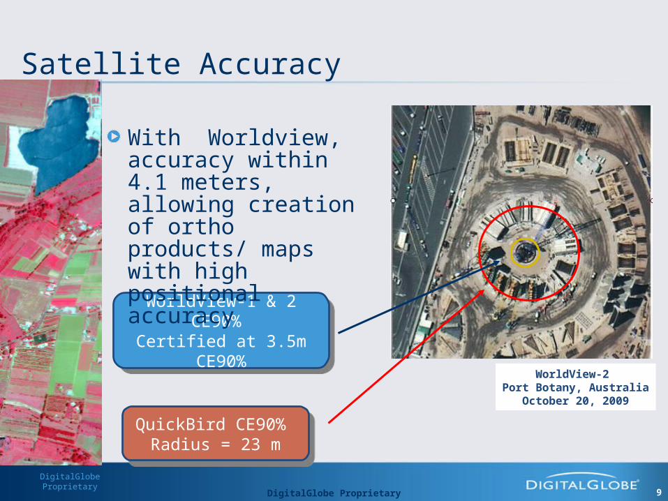
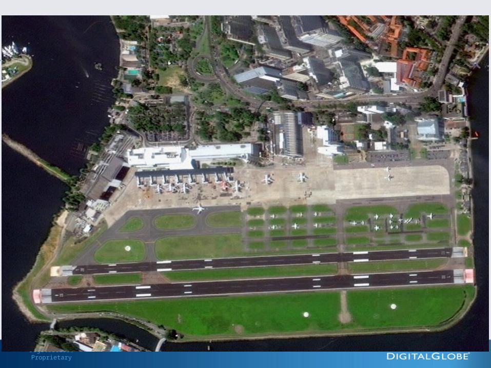
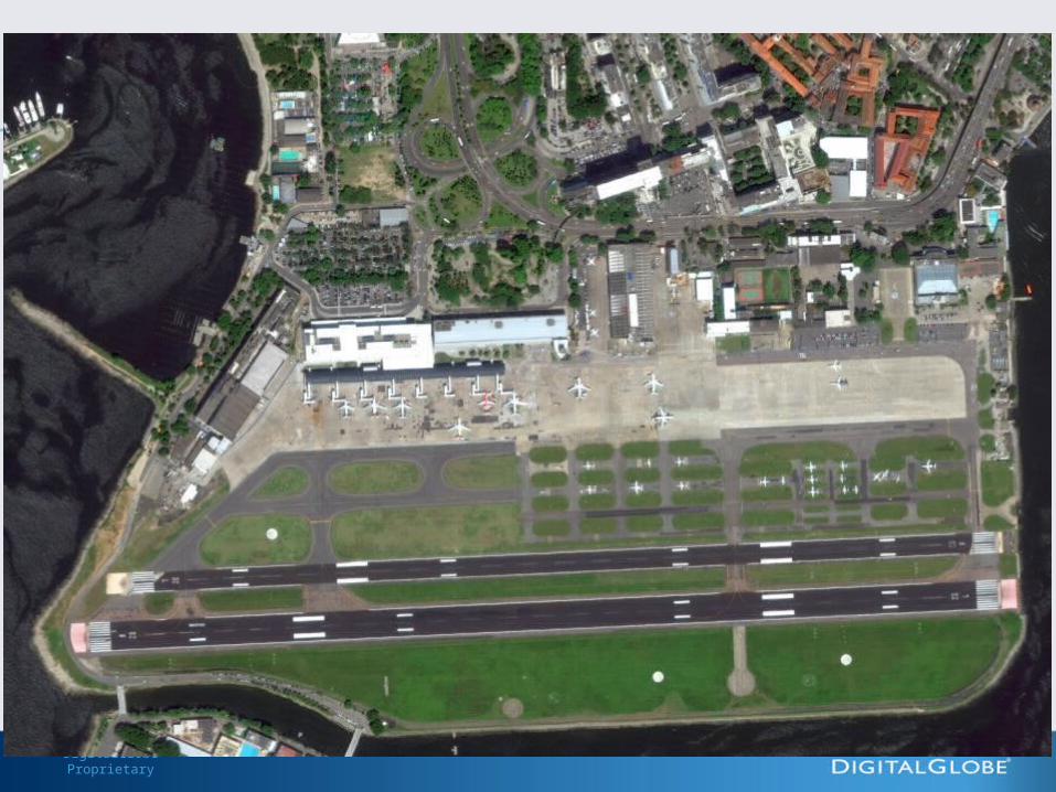
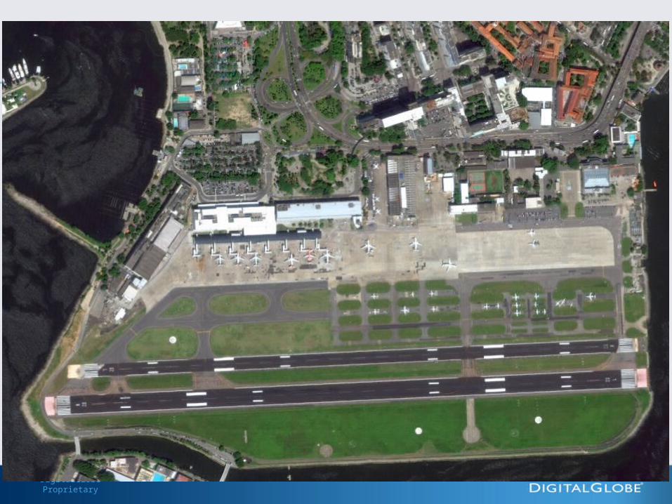
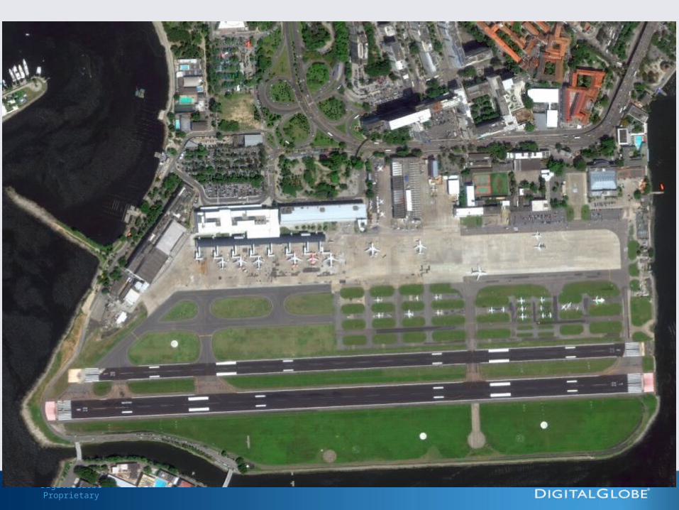
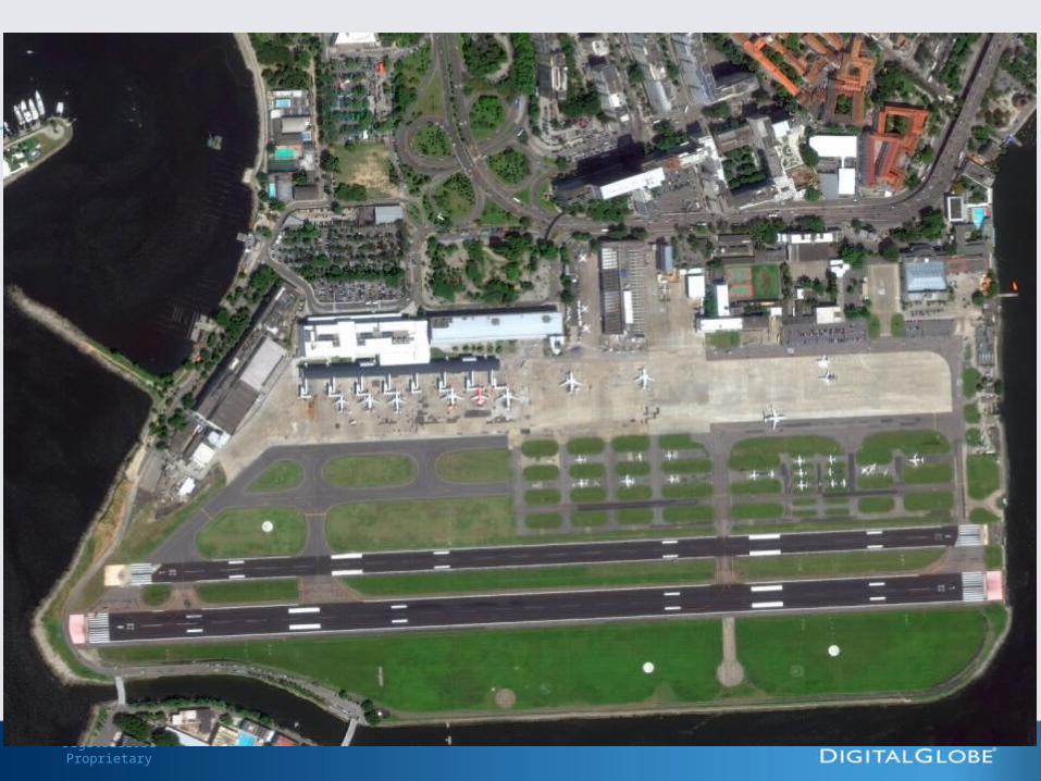
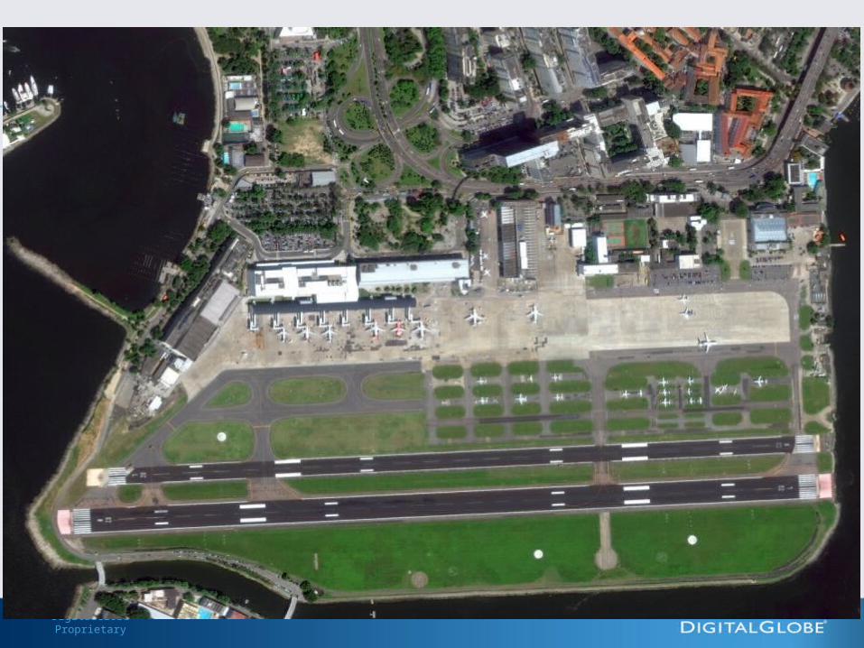
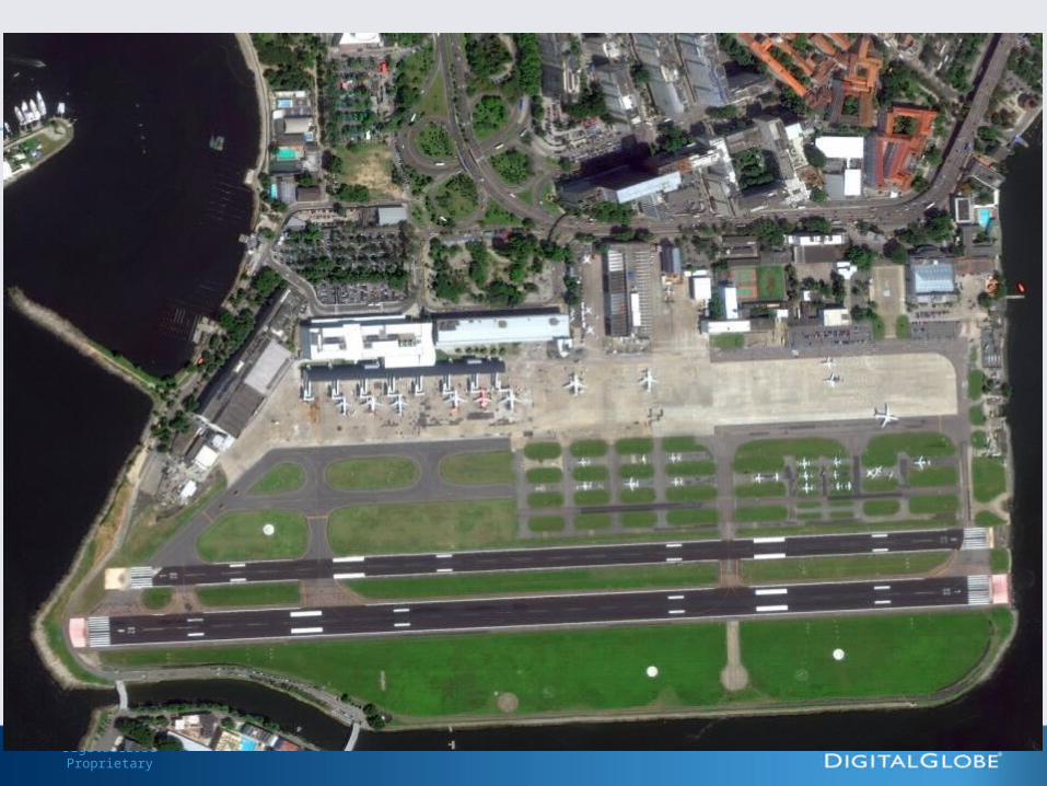
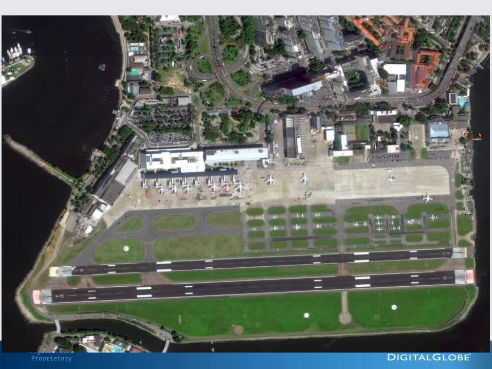
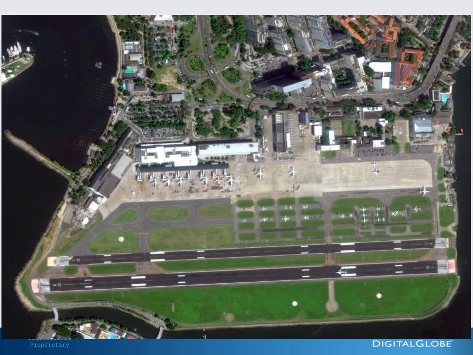
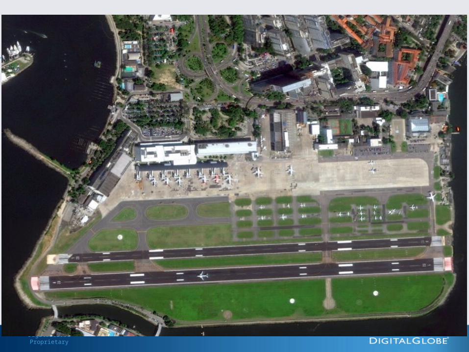
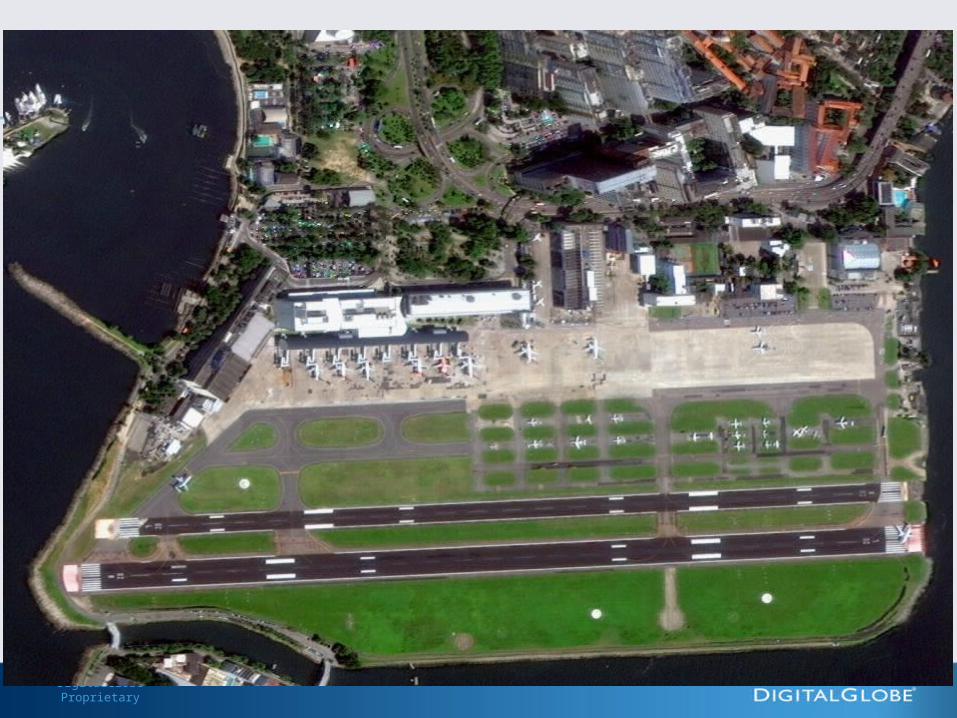
WorldView-2 Port Botany, Australia
October 20, 2009
QuickBird CE90% Radius = 23 m
QuickBird CE90% Radius = 23 m
9
WorldView-1 & 2 CE90% Certified at 3.5m CE90%
WorldView-1 & 2 CE90% Certified at 3.5m CE90%
Satellite Accuracy
With Worldview, accuracy within 4.1 meters, allowing creation of ortho products/ maps with high positional accuracy
DigitalGlobe Proprietary
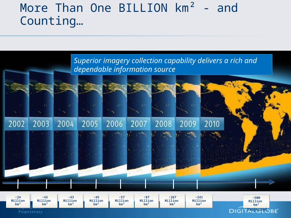
More Than One BILLION km² - and Counting…
•24 Million km²
•24 Million km²
•43 Million km²
•43 Million km²
•43 Million km²
•43 Million km²
•267 Million km²
•267 Million km²
•241 Million km²
•241 Million km²
•87 Million km²
•87 Million km²
•57 Million km²
•57 Million km²
•45 Million km²
•45 Million km²
•500 Million km²
•500 Million km²
Projected
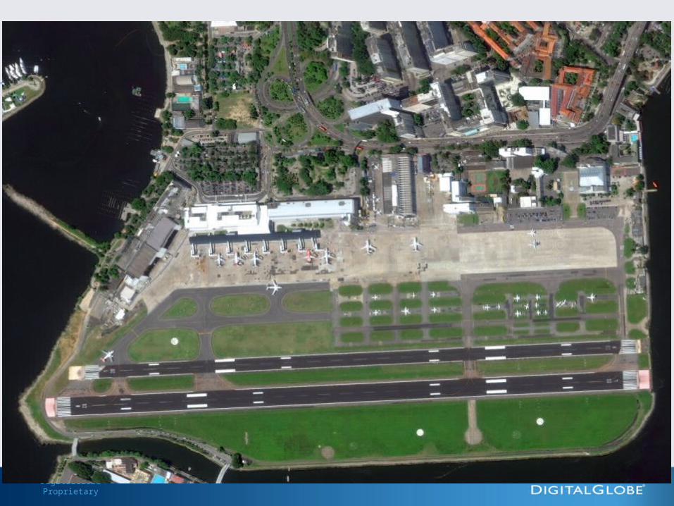
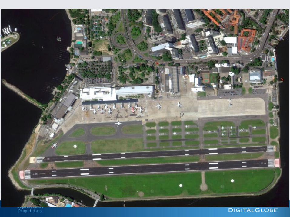
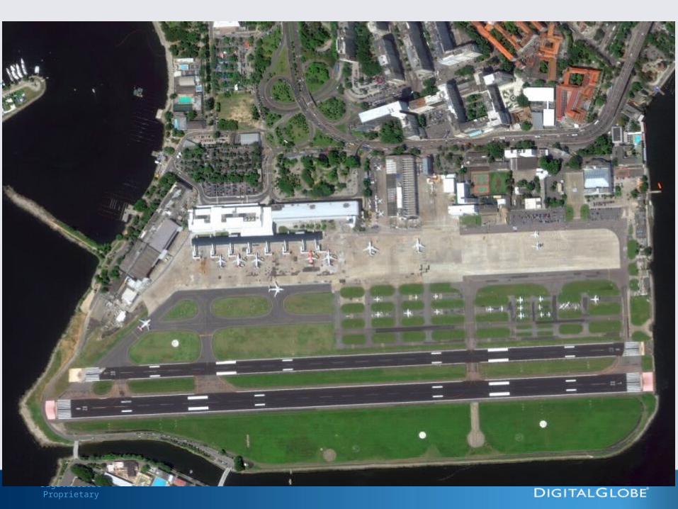
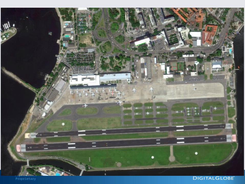
Superior imagery collection capability delivers a rich and dependable information source
DigitalGlobe Proprietary

DigitalGlobe Proprietary
DigitalGlobe Proprietary

DigitalGlobe Proprietary

DigitalGlobe Proprietary

DigitalGlobe Proprietary
DigitalGlobe Proprietary
DigitalGlobe Proprietary
DigitalGlobe Proprietary
DigitalGlobe Proprietary

DigitalGlobe Proprietary
DigitalGlobe Proprietary
DigitalGlobe Proprietary
DigitalGlobe Proprietary
DigitalGlobe Proprietary
DigitalGlobe Proprietary
DigitalGlobe Proprietary
DigitalGlobe Proprietary
DigitalGlobe Proprietary
DigitalGlobe Proprietary
DigitalGlobe Proprietary
DigitalGlobe Proprietary
DigitalGlobe Proprietary

DigitalGlobe Proprietary
DigitalGlobe Proprietary
DigitalGlobe Proprietary
DigitalGlobe Proprietary
DigitalGlobe Proprietary
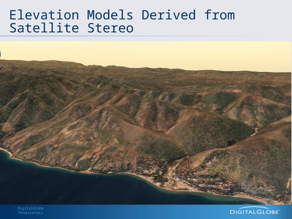
Elevation Models Derived from Satellite Stereo
DigitalGlobe Proprietary
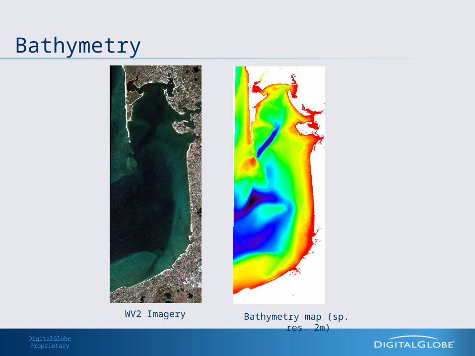
Bathymetry
Bathymetry map (sp. res. 2m)WV2 Imagery
DigitalGlobe Proprietary
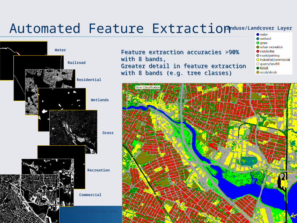
Landuse/Landcover Layer
Water
Railroad
Residential
Grass
Wetlands
Recreation
Commercial
Roads and Parking Lots
Feature extraction accuracies >90% with 8 bands, Greater detail in feature extraction with 8 bands (e.g. tree classes)
Feature extraction accuracies >90% with 8 bands, Greater detail in feature extraction with 8 bands (e.g. tree classes)
Automated Feature Extraction
DigitalGlobe Proprietary
Creating Nationwide Databases – the PPP Model
Processing– Data & Processes need to be co-located– Exploit faster computing methodologies– Take advantage of cloud (computing and storage)– Plan for IT/Storage (short term and long term)
DigitalGlobe Proprietary
Creating Nationwide Databases – the PPP Model
Analysis– Analysis requires specialized skills– Multi-disciplinary skills
• Image Analysis borrowing skills from Robotics, Machine Vision, medical imaging, etc.
– Private Industry investing in analysis skills as well as automation

DigitalGlobe Proprietary
Creating Nationwide Databases – the PPP Model
Dissemination & Sharing– Minimize Data Latency– Enhance Data Access– Ensure consistent Data Nomenclature
DigitalGlobe Proprietary
Creating Nationwide Databases – the PPP Model
DigitalGlobe Contributions– Cutting edge satellite systems– New spectral bands/sensors for information and insight– Investment in storage/processing/dissemination technologies– Innovation through R&D
DigitalGlobe Proprietary
Thank You


