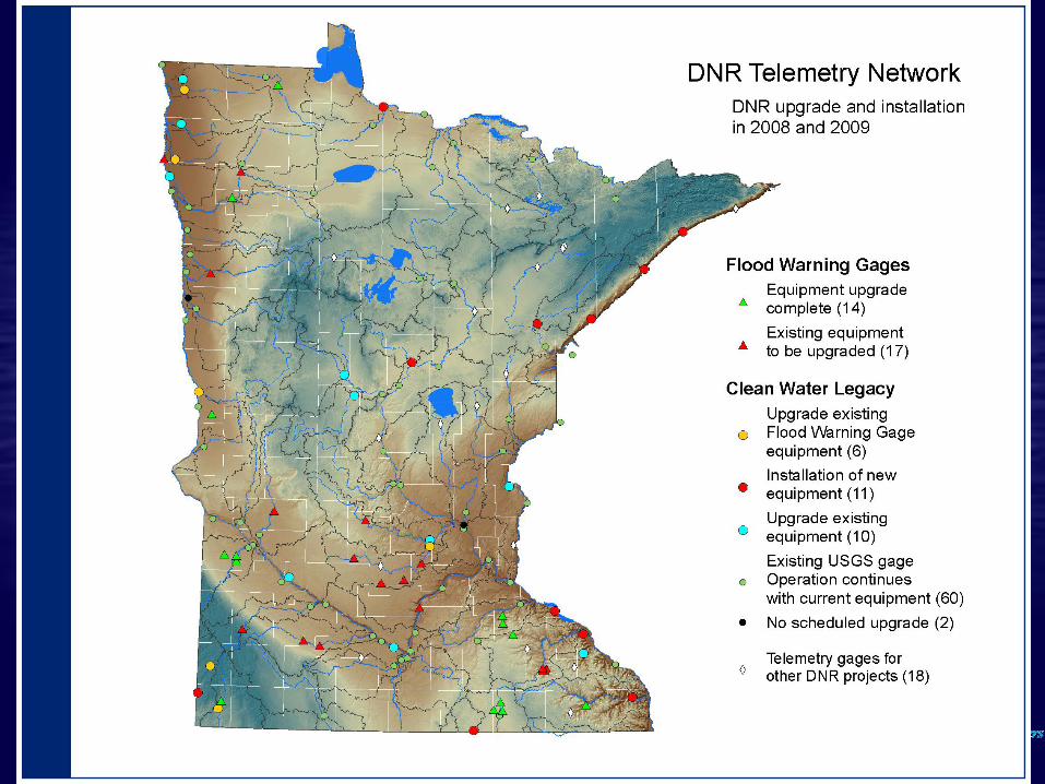
15
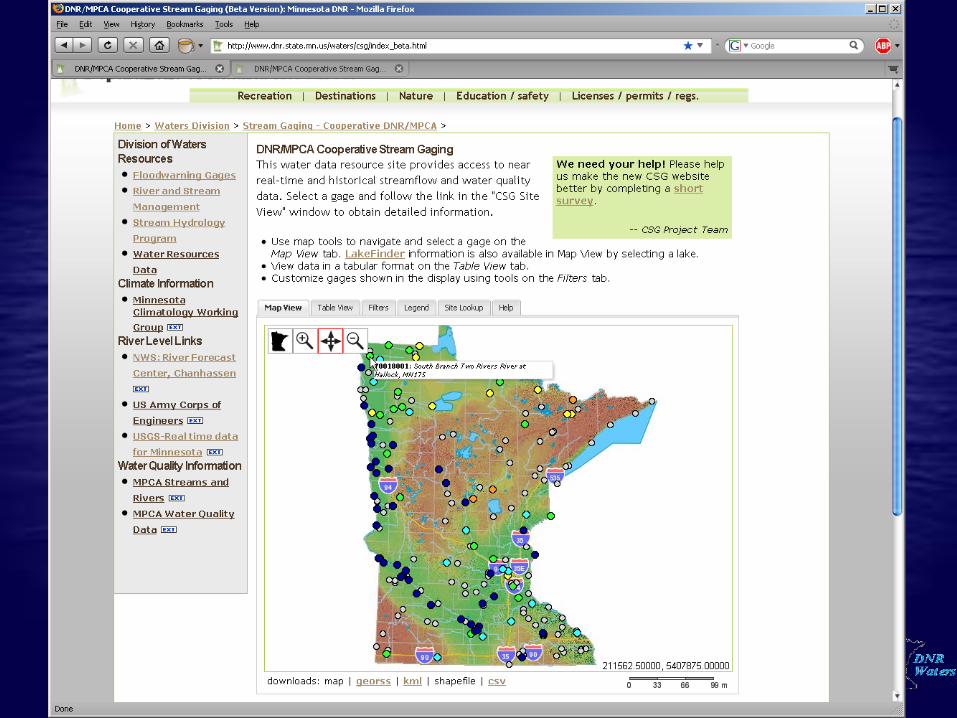
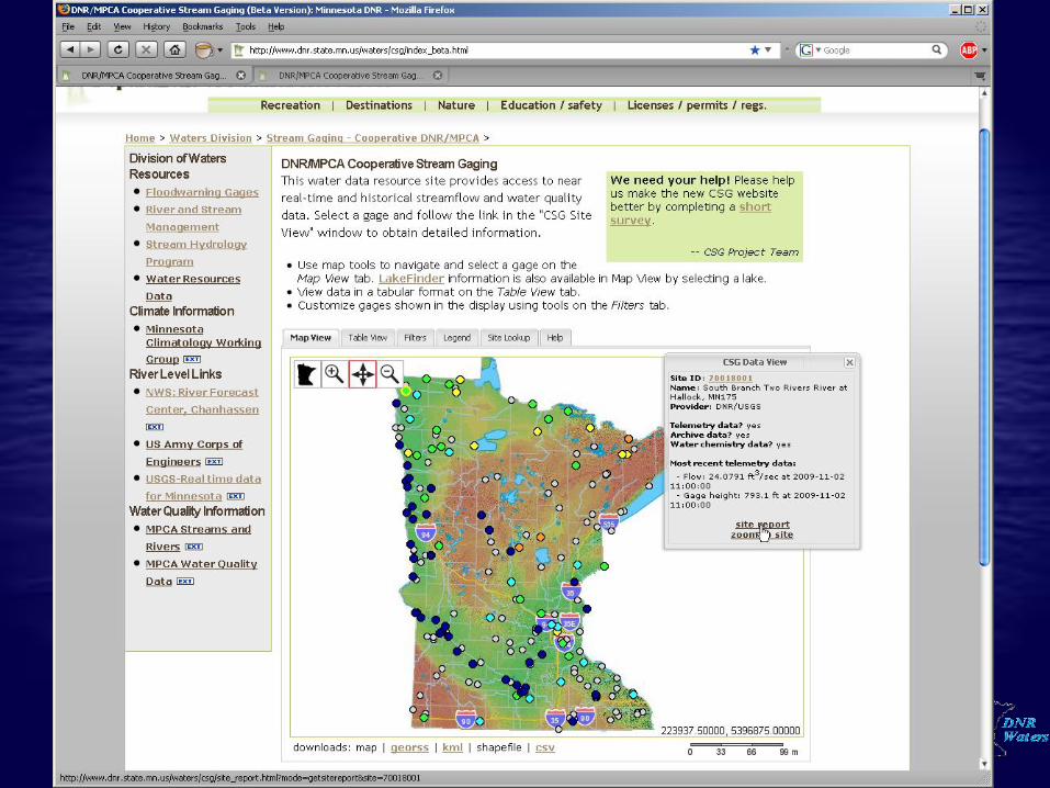
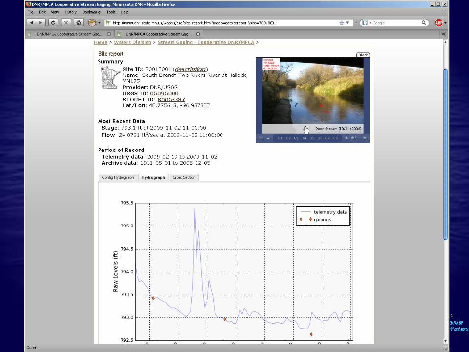
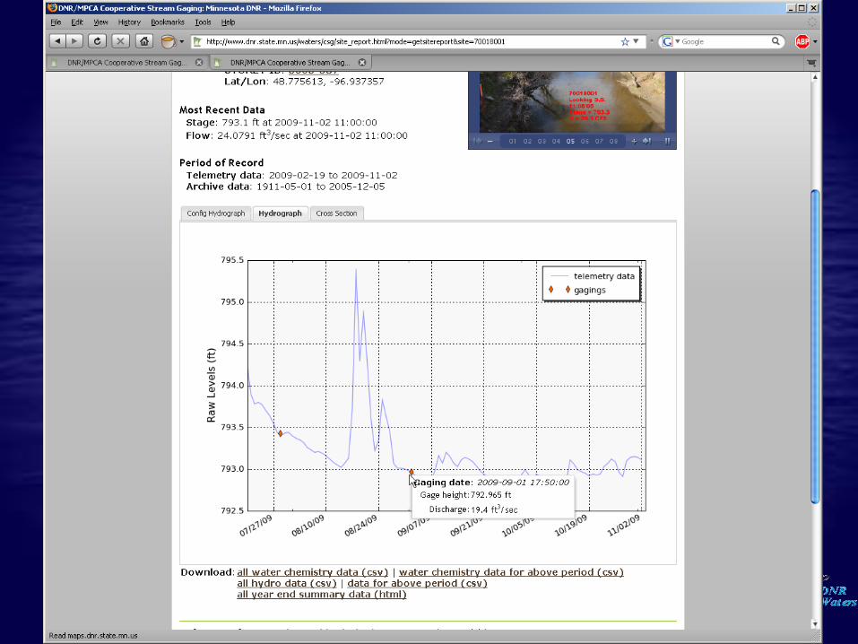
DNR Waters Water Monitoring and Surveys Unit Groundwater Monitoring: 640 active monitoring wells Lake Levels: +1000 lake gages and over 800 volunteers Survey Crew: Provides Topographic Surveys, OHW determinations and Vertical Control Elevations. Climatology: Stores and provides interpretation of data from over 1200 weather monitoring locations. Stream Flow Monitoring: 160 active stream gages