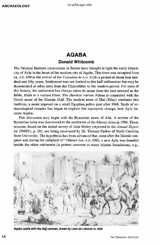
ARCHAEOLOGY AQABA Donald Whitcomb The Oriental Institute excavations in Jordan have brought to light the early Islamic city of Ayla in the heart of the modem city of Aqaba. This town was occupied from ca. A.D. 650 to the arrival of the Crusaders in A.D. 1116, a period of about four hun- dred and fifty years. Settlement was not limited to this half millennium but may be documented at other sites from the Chalcolithic to the modem period. For most of this history, the settlement has always taken its name from the root attested in the Bible, Elath or a variant Elam. The classical variant Ailana is connected with the Greek name of the Elanitic Gulf. The modem town of Elat (Eilat) continues this tradition, a name imposed on a small Egyptian police post after 1948. Study of ar- chaeological remains has begun to explore this toponymic change, how Ayla be- came Aqaba. This discussion may begin with the Byzantine name of Aila. A section of the Byzantine town was discovered to the northwest of the Islamic town in 1994. These remains, based on the initial survey of John Meloy (reported in the Annual Report for 1990/91, p. 10), are being excavated by Dr. Thomas Parker of North Carolina State University. The hypothesis has been advanced that, soon after the Islamic con- quest and during the caliphate of 'Uthman (ca. A.D. 650), a new Ayla was founded beside the older settlement (a pattern common to many Islamic foundations, e.g., Aqaba castle with the HaJJ caravan, drawn by Leon de Laborde in 1828 14 THE ORIENTAL INSTITUTE oi.uchicago.edu
Transcript
ARCHAEOLOGY
AQABA Donald Whitcomb
The Oriental Institute excavations in Jordan have brought to light the early Islamic city of Ayla in the heart of the modem city of Aqaba. This town was occupied from ca. A.D. 650 to the arrival of the Crusaders in A.D. 1116, a period of about four hundred and fifty years. Settlement was not limited to this half millennium but may be documented at other sites from the Chalcolithic to the modem period. For most of this history, the settlement has always taken its name from the root attested in the Bible, Elath or a variant Elam. The classical variant Ailana is connected with the Greek name of the Elanitic Gulf. The modem town of Elat (Eilat) continues this tradition, a name imposed on a small Egyptian police post after 1948. Study of archaeological remains has begun to explore this toponymic change, how Ayla became Aqaba.
This discussion may begin with the Byzantine name of Aila. A section of the Byzantine town was discovered to the northwest of the Islamic town in 1994. These remains, based on the initial survey of John Meloy (reported in the Annual Report for 1990/91, p. 10), are being excavated by Dr. Thomas Parker of North Carolina State University. The hypothesis has been advanced that, soon after the Islamic conquest and during the caliphate of 'Uthman (ca. A.D. 650), a new Ayla was founded beside the older settlement (a pattern common to many Islamic foundations, e.g.,
Aqaba castle with the HaJJ caravan, drawn by Leon de Laborde in 1828
14 THE ORIENTAL INSTITUTE
oi.uchicago.edu
AQABA
151
Aqaba *JL>) N
Byzantine Aila
Fustat/Cairo, Basra, etc.). Xj The reader may note the spelling convention adopted by these two investigations: "Aila" follows common transliteration of classical languages and refers to the Roman/ Byzantine town, and "Ayla" follows the usual Arabic transliteration and refers to the Islamic town.
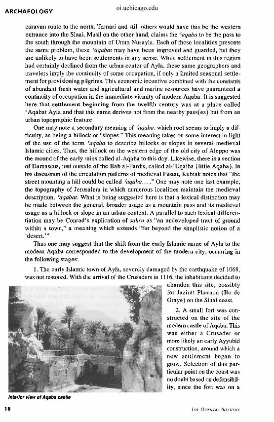
King Baldwin I of Jerusalem appeared at Ayla with a small group of knights in A.D. 1116. Accounts agree that the inhabitants fled to the sea and that the Crusaders left a small garrison at Elim or Helim (as they took the name from the Bible) and returned to Jerusalem. The evidence from excavations strongly indicates that the condition of the town in the late eleventh century was not good and the city was in no condition to put up a fight. In fact, the old, dilapidated condition suggests that, like Aila before it, a settlement some four hundred and fifty years old might easily be abandoned. The situation is rather like that of modern inner cities but is also attested for medieval Cairo; namely, that it is less expensive to begin new buildings on another site than to restore and reconstruct older buildings. Thus one may suggest that the Crusader attack may have put the coup de grace on the earlier Islamic town and that the Crusaders built a small fort for their garrison—at a safe distance from the old, dilapidated city. This site is probably the present castle of Aqaba, mainly Mamluk and Ottoman in its extant form. The village or old town of Aqaba was situated around and behind this castle, stretching inland along the Wadi Shallala. This is the Aqaba mentioned by travelers of the nineteenth and early twentieth centuries.
The question remains how the medieval transition in name from Ayla to Aqaba corresponded to the movement of settlement. Medieval historians and geographers introduced a new term for the settlement, cAqabat Ayla; the earliest is al-Idrisi (d. 1166), then al-'Abdari in 1290. In the fourteenth century, Ibn Fadl Allah al-'Umari (d. 1349) refers first to (Aqabat Ayla and later to al-Aqaba while his contemporary Ibn Battuta uses only Aqaba. The usual explanation of the name cAqabat Ayla, following the prevalent meaning of caqaba, is that this name refers to a mountain pass. Glidden and others believe that it refers to the Wadi Yitm
883-
Plan showing locations of Byzantine Aila, Islamic Ayla, modern Aqaba, and Aqaba castle
1994-1995 ANNUAL REPORT 15
oi.uchicago.edu
ARCHAEOLOGY
caravan route to the north. Tamari and still others would have this be the western entrance into the Sinai. Musil on the other hand, claims the (aqaba to be the pass to the south through the mountain of Umm Nusayla. Each of these localities presents the same problem, these caqabat may have been improved and guarded, but they are unlikely to have been settlements in any sense. While settlement in this region had certainly declined from the urban center of Ayla, these same geographers and travelers imply the continuity of some occupation, if only a limited seasonal settlement for provisioning pilgrims. This economic incentive combined with the constants of abundant fresh water and agricultural and marine resources have guaranteed a continuity of occupation in the immediate vicinity of modern Aqaba. It is suggested here that settlement beginning from the twelfth century was at a place called cAqabat Ayla and that this name derives not from the nearby pass(es) but from an urban topographic feature.
One may note a secondary meaning of caqaba, which root seems to imply a difficulty, as being a hillock or "slopes." This meaning takes on some interest in light of the use of the term <aqaba to describe hillocks or slopes in several medieval Islamic cities. Thus, the hillock on the western edge of the old city of Aleppo was the mound of the early ruins called al-Aqaba to this day. Likewise, there is a section of Damascus, just outside of the Bab al-Fardis, called al-'Uqaiba (little Aqaba). In his discussion of the circulation patterns of medieval Fustat, Kubiak notes that "the street mounting a hill could be called caqaba... ." One may note one last example, the topography of Jerusalem in which numerous localities maintain the medieval description, (aqabat. What is being suggested here is that a lexical distinction may be made between the general, broader usage as a mountain pass and its medieval usage as a hillock or slope in an urban context. A parallel to such lexical differentiation may be Conrad's explication of sahra as "an undeveloped tract of ground within a town," a meaning which extends "far beyond the simplistic notion of a 'desert.'"
Thus one may suggest that the shift from the early Islamic name of Ayla to the modern Aqaba corresponded to the development of the modern city, occurring in the following stages:
1. The early Islamic town of Ayla, severely damaged by the earthquake of 1068, was not restored. With the arrival of the Crusaders in 1116, the inhabitants decided to
abandon this site, possibly for Jazirat Pharaon (He de Graye) on the Sinai coast.
2. A small fort was constructed on the site of the modern castle of Aqaba. This was either a Crusader or more likely an early Ayyubid construction, around which a new settlement began to grow. Selection of this particular point on the coast was no doubt based on defensibil-ity, since the fort was on a
Interior view of Aqaba castle
16 THE ORIENTAL INSTITUTE
oi.uchicago.edu
AQABA
prominence. The fort was named cAqabat Ayla, the "hill" of Ayla, in order to distinguish it from the abandoned but still visible ruins of the early Islamic town. This dual relation of Ayla and cAqabat Ayla continued through the fourteenth century.
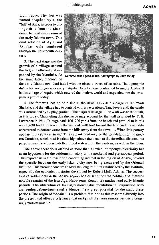
3. The next stage saw the growth of a village around the fort, embellished and expanded by the Mamluks. At Gardens near Aqaba castle. Photograph by John Meloy the same time, memory of the early Islamic town had faded with the obscure traces of its ruins. The toponymic distinction no longer necessary,c Aqabat Ayla became contracted to simply Aqaba. It is this village of Aqaba which entered the modern world and expanded into the prosperous port of today.
4. The fort was located on a rise in the direct alluvial discharge of the Wadi Shallala, and the village had to contend with an accretion of land levels until the castle was surrounded by sloping gradient. The major discharge of the wadi was to the south, as it is today. Channeling this discharge may account for the wall described by T. E. Lawrence in 1914, "a huge bank 100-200 yards from the beach and parallel to it; this was 10-30 feet high towards the sea and 3-10 feet toward the land and presumably constructed to deflect water from the hills away from the town. ... What little pottery appears in its strata is Arab." This embankment may be the foundation for the modern Corniche, which road is raised high above the beach at the described distance; its purpose may have been to deflect flood waters from the gardens, as well as the town.
The above scenario is offered as more than a lexical or toponymic curiosity but as an hypothesis for the settlement history in the medieval and pre-modern period. This hypothesis is the result of a continuing interest in the region of Aqaba, beyond the specific focus on the early Islamic city now being excavated by the Oriental Institute. This broader concern follows the long tradition established by the Institute, especially the ecological histories developed by Robert McC. Adams. The succession of settlements in the Aqaba region begins with the Chalcolithic and features notable remains of the Iron Age, Nabataean, Roman, Byzantine, and early Islamic periods. The utilization of lexical/historical documentation in conjunction with archaeological/environmental evidence offers great potential for the study these periods. The origin of "Aqaba" is a problem that brings this research directly into the present and offers a relevancy that makes all the more remote periods increasingly understandable.