21
Environmental Health Surveillance Report: Pesticides and Schools
| Date post: | 02-Jan-2016 |
| Category: |
Documents |
| Upload: | tiffany-dean |
| View: | 219 times |
| Download: | 1 times |

Environmental Health Surveillance Report:
Pesticides and Schools

Overview
Background
Project description
Data and analysis
Communication and dissemination
Timeline/Next steps
Question/Discussion

Background
Background
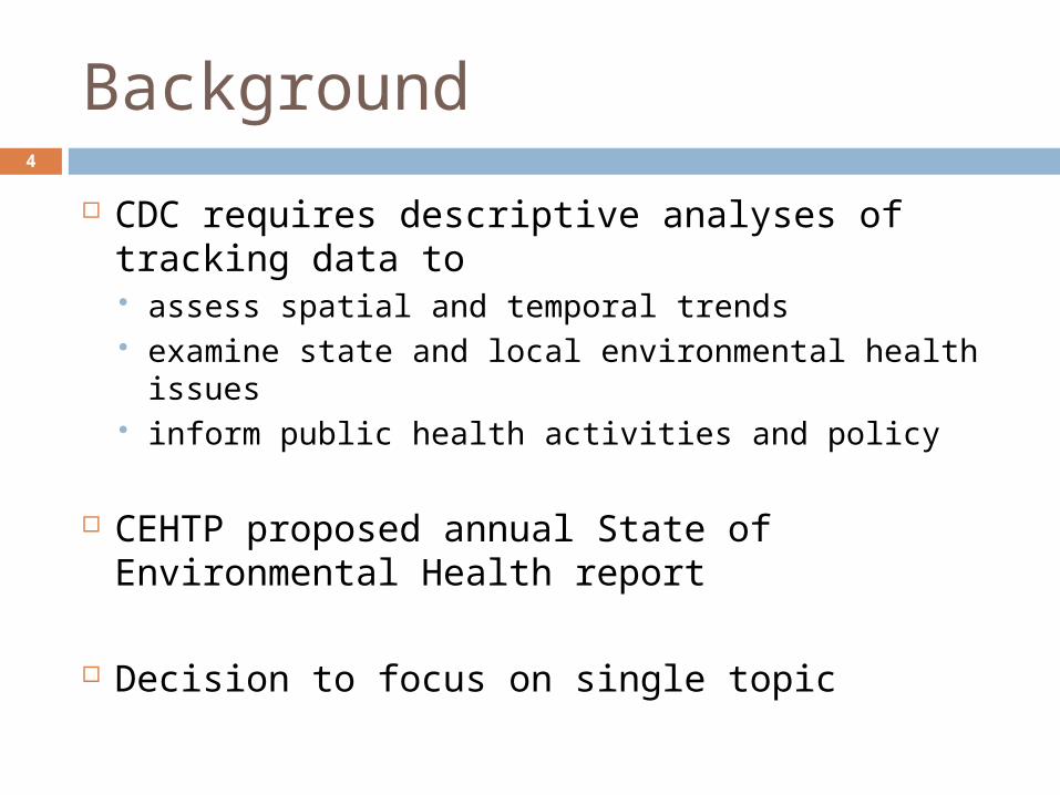
CDC requires descriptive analyses of tracking data to assess spatial and temporal trends examine state and local environmental health
issues inform public health activities and policy
CEHTP proposed annual State of Environmental Health report
Decision to focus on single topic
4

Project Description

Project Description6
Assess poundage and types of agricultural pesticides applied near schools implications for pesticide buffers near schools demonstrate linkage utilizing portal data
Increase resolution using school boundaries, not geocoded points
Release in coordination with partner groups near back-to-school time

Partners
Californians for Pesticide Reform Pesticide Action Network Center for Environmental Health
7

Data and Analysis

County selection9
Top quartile of counties by total agricultural pesticides applied for 2010 Top 15 counties 85% of total
agricultural pesticides applied statewide (using chemical pounds)
CountyLbs chemical applied
Rank
FRESNO 27,777,500 1KERN 21,454,117 2TULARE 8,867,756 3SAN JOAQUIN 8,687,822 4MADERA 8,582,823 5MONTEREY 8,203,711 6MERCED 7,180,641 7VENTURA 6,495,235 8KINGS 6,105,752 9STANISLAUS 5,072,403 10IMPERIAL 4,163,596 11SANTA BARBARA 4,109,958 12SACRAMENTO 3,291,915 13SAN LUIS OBISPO 2,570,651 14YOLO 2,496,139 15

School boundaries10
Using boundaries increases accuracy & resolution of where kids learn and play Geocoded points are occasionally erroneous Parcel boundaries incorporate buildings, playgrounds,
and fields
1.2 miles
Geocoded point

Demographic data11
Report demographic data for top exposed schools & perform disparity analysis Department of Education has data on ethnicity by
school Data on free/reduced price lunch eligibility as a
proxy for income
Compare to county and statewide school profiles for ethnicity and lunch eligibility
Pesticide groupings
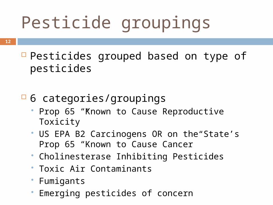
Pesticides grouped based on type of pesticides
6 categories/groupings Prop 65 “Known to Cause Reproductive Toxicity” US EPA B2 Carcinogens OR on the State’s Prop
65 “Known to Cause Cancer” Cholinesterase Inhibiting Pesticides Toxic Air Contaminants Fumigants Emerging pesticides of concern
12
Data Linkage
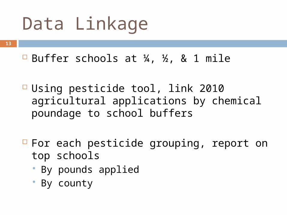
Buffer schools at ¼, ½, & 1 mile
Using pesticide tool, link 2010 agricultural applications by chemical poundage to school buffers
For each pesticide grouping, report on top schools By pounds applied By county
13

Communication and Dissemination

Report
Organize by pesticide group Background on pesticide group Top 5 counties with highest percentage of schools exposed Top 10-20 schools by poundage for those counties Compare students populations from exposed/non-exposed
schools Highlights
Time trends by month Crops Specific location or region Specific schools
Links to Methods description on CEHTP website Information about pesticides, prevention, initiatives on partner
websites
15

Dissemination
Online report, limited printed copies
Executive summary, press releases in Spanish
Work with CDPH Office of Public Affairs
Partner activities Press releases Integration into ongoing activities Outreach to communities
16

Timeline/Next Steps

Timeline
March: data cleaning and analysis
April: complete analysis
May: interpret results, develop first draft of report
June: complete final report draft
July: report approved, plan dissemination strategy
August: dissemination
18

Potential future projects
Web-based query Search by school, district, county
Complete school boundary layer for entire State Would be time intensive, but very powerful
data set
No funding for these projects
19

Questions and Discussion
Discussion Questions 21
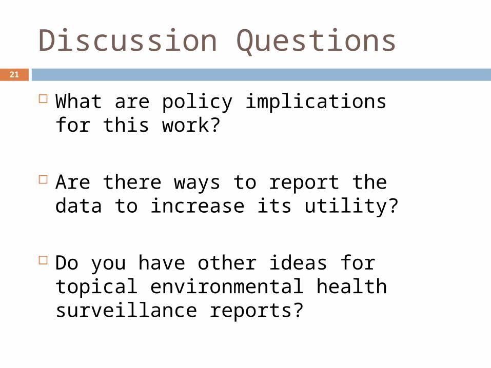
What are policy implications for this work?
Are there ways to report the data to increase its utility?
Do you have other ideas for topical environmental health surveillance reports?


