12
* Evacuation Safety Planners Evacuation Safety Planners* Progress Report
| Date post: | 13-Dec-2015 |
| Category: |
Documents |
| Upload: | dylan-cain |
| View: | 213 times |
| Download: | 0 times |

*Evacuation Safety PlannersEvacuation Safety Planners*Progress Report

IntroductionIntroduction::
• Objectives for this project were arrived upon through correspondence with the City of San Marcos, Texas
• Two floods in the past 10 years where water levels have surpassed the 500 year floodplain
• Flood management used to reduce damage and sustain life in at-risk communities

ESP’s ObjectivesESP’s Objectives:
• Determine low water crossings
• Locate potential flood risk areas
• Designate various emergency shelters
• Evaluate mobility of at-risk citizens• Determine evacuation routes from
hazardous locations
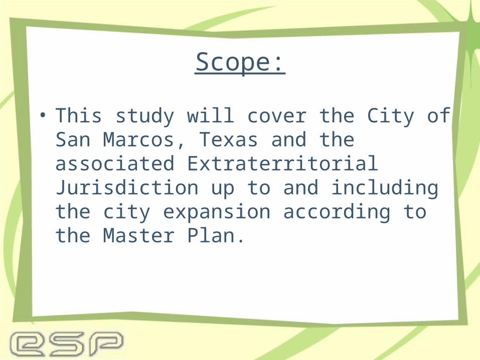
Scope:
• This study will cover the City of San Marcos, Texas and the associated Extraterritorial Jurisdiction up to and including the city expansion according to the Master Plan.
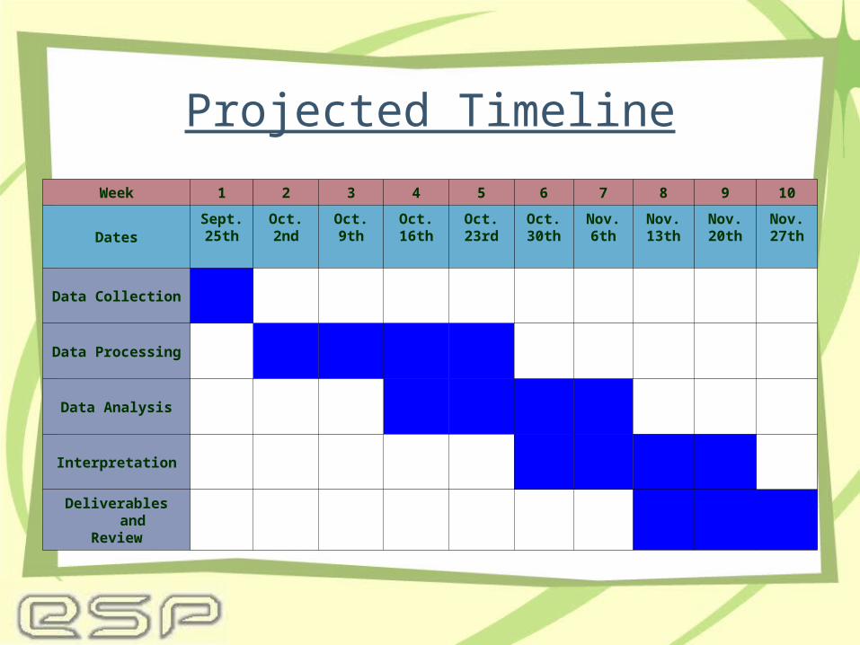
Projected Timeline
Week 1 2 3 4 5 6 7 8 9 10
DatesSept.25th
Oct.2nd
Oct.9th
Oct.16th
Oct.23rd
Oct.30th
Nov.6th
Nov.13th
Nov.20th
Nov.27th
Data Collection
Data Processing
Data Analysis
Interpretation
Deliverables andReview

Work Completed
• Overlay analysis of FEMA floodplain data and 1998 flood line data
• Determination of Low water crossings• Proposed emergency shelters identified• Risk assessment of land parcels based
on the 1998 flood damage report


Work In Progress
• Risk assessment based on tax appraisal and other demographic data
• Metadata formation and data management
• Website development– Collaborative effort with FADDEN– Access to the future progress of the
study
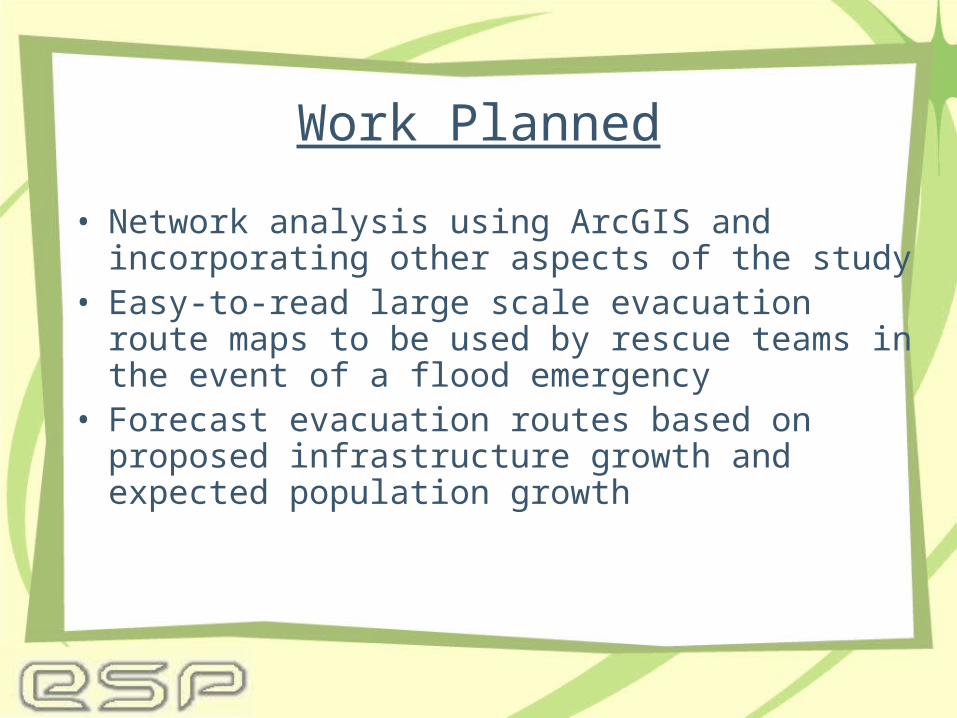
Work Planned
• Network analysis using ArcGIS and incorporating other aspects of the study
• Easy-to-read large scale evacuation route maps to be used by rescue teams in the event of a flood emergency
• Forecast evacuation routes based on proposed infrastructure growth and expected population growth

Overall AppraisalOverall Appraisal
• On time for December 8th completion• Concerns regarding the risk assessment
based on tax appraisal and other demographic data
• Access the website to view the progress of the study

Questions?


