Evaluation of Obtainable Benefits from the Atlantic Interoperability Initiative to Reduce Emissions (AIRE) 2009 Flight Demonstrations Background As part of the Atlantic Interoperability Initiative to Reduce Emissions (AIRE), the Federal Aviation Administration (FAA), Nav Portugal and partner airlines collaborated to perform a proof of concept demonstration of dynamic in-flight rerouting. In-flight rerouting has the potential to increase fuel efficiency by encouraging airlines to reevaluate their planned flight trajectories once airborne using updated wind information. To help establish the proof of concept of in-flight rerouting, partner airlines participated in demonstrations throughout 2008 and 2009. The demonstration flights focused on validating the coordination, determining data sharing requirements, and capturing the scope of benefits from in-flight rerouting. As a follow on task, CSSI researchers and the Oceanic Integration and Interoperability Facility (OIIF) team explored whether these flights could have achieved even greater fuel efficiency than was experienced during the actual demonstration. This was achieved by optimizing the flown altitude profiles, confirming the optimal altitudes were conflict free and measuring the fuel savings between the flown and optimal altitudes. Methodology As shown in Figure 1, CSSI researchers created the flown flight trajectories and then optimized the flown altitudes based on minimum fuel consumption. When the optimization resulted in a more fuel efficient altitude than the flown altitude, the researchers generated altitude change request messages and submitted the messages to the OIIF team as input to the simulation. The OIIF team recreated the traffic day, incorporated the altitude change requests into the simulation, and probed for immediate and future conflicts of the new optimal altitudes. When conflicts resulted, the flown flights were again optimized for the next best fuel efficient altitude. Generate Trajectories Model Trajectories’ Fuel Burn Optimize Trajectories’ Vertical Profiles Generate Altitude Change Requests Messages Conflict Probe and ATC Response (OIIF) Figure 1: Overview of Data Processing The modeled flown flight trajectories were based on data from the partner airline, Air Europa. The data included the reported-over positional information of latitude, longitude, flight level, and
Transcript
Evaluation of Obtainable Benefits from the
Atlantic Interoperability Initiative to Reduce Emissions (AIRE)
2009 Flight Demonstrations
Background
As part of the Atlantic Interoperability Initiative to Reduce Emissions (AIRE), the Federal Aviation Administration (FAA), Nav Portugal and partner airlines collaborated to perform a proof of concept demonstration of dynamic in-flight rerouting. In-flight rerouting has the potential to increase fuel efficiency by encouraging airlines to reevaluate their planned flight trajectories once airborne using updated wind information. To help establish the proof of concept of in-flight rerouting, partner airlines participated in demonstrations throughout 2008 and 2009. The demonstration flights focused on validating the coordination, determining data sharing requirements, and capturing the scope of benefits from in-flight rerouting. As a follow on task, CSSI researchers and the Oceanic Integration and Interoperability Facility (OIIF) team explored whether these flights could have achieved even greater fuel efficiency than was experienced during the actual demonstration. This was achieved by optimizing the flown altitude profiles, confirming the optimal altitudes were conflict free and measuring the fuel savings between the flown and optimal altitudes.
Methodology
As shown in Figure 1, CSSI researchers created the flown flight trajectories and then optimized the flown altitudes based on minimum fuel consumption. When the optimization resulted in a more fuel efficient altitude than the flown altitude, the researchers generated altitude change request messages and submitted the messages to the OIIF team as input to the simulation. The OIIF team recreated the traffic day, incorporated the altitude change requests into the simulation, and probed for immediate and future conflicts of the new optimal altitudes. When conflicts resulted, the flown flights were again optimized for the next best fuel efficient altitude.
Generate Trajectories
Model Trajectories’ Fuel Burn
Optimize Trajectories’
Vertical Profiles
Generate Altitude Change
Requests Messages
Conflict Probe and ATC Response
(OIIF)
Figure 1: Overview of Data Processing
The modeled flown flight trajectories were based on data from the partner airline, Air Europa. The data included the reported-over positional information of latitude, longitude, flight level, and
time. From this data, CSSI researchers calculated the average ground speeds for each trajectory point.
The modeled flown trajectories were then processed through CSSI’s Optimal Trajectory Generator (OPGEN) model to determine the optimal altitudes and speeds within New York airspace; the flights’ rerouted paths remained fixed. The OPGEN model started with the oceanic exit weight, determined from the airline’s reported takeoff weight, minus the fuel burn from the initial waypoint to the oceanic exit waypoint. OGPEN then calculated the amount of fuel required to fly backwards to the oceanic entry waypoint in discrete steps specified by the trajectory.
This process for modeling fuel consumption is referred to as backward-integration mode. In each of the steps, the weight of the aircraft upon reaching the previously observed point is considered, as are the average airspeed and optimal vertical profiles for the segment between the previous and current points, and the wind information relevant to that particular segment of the airspace. The model then calculates the amount of fuel required to complete the flight segment, repeating the calculations until it reaches the oceanic entry waypoint.
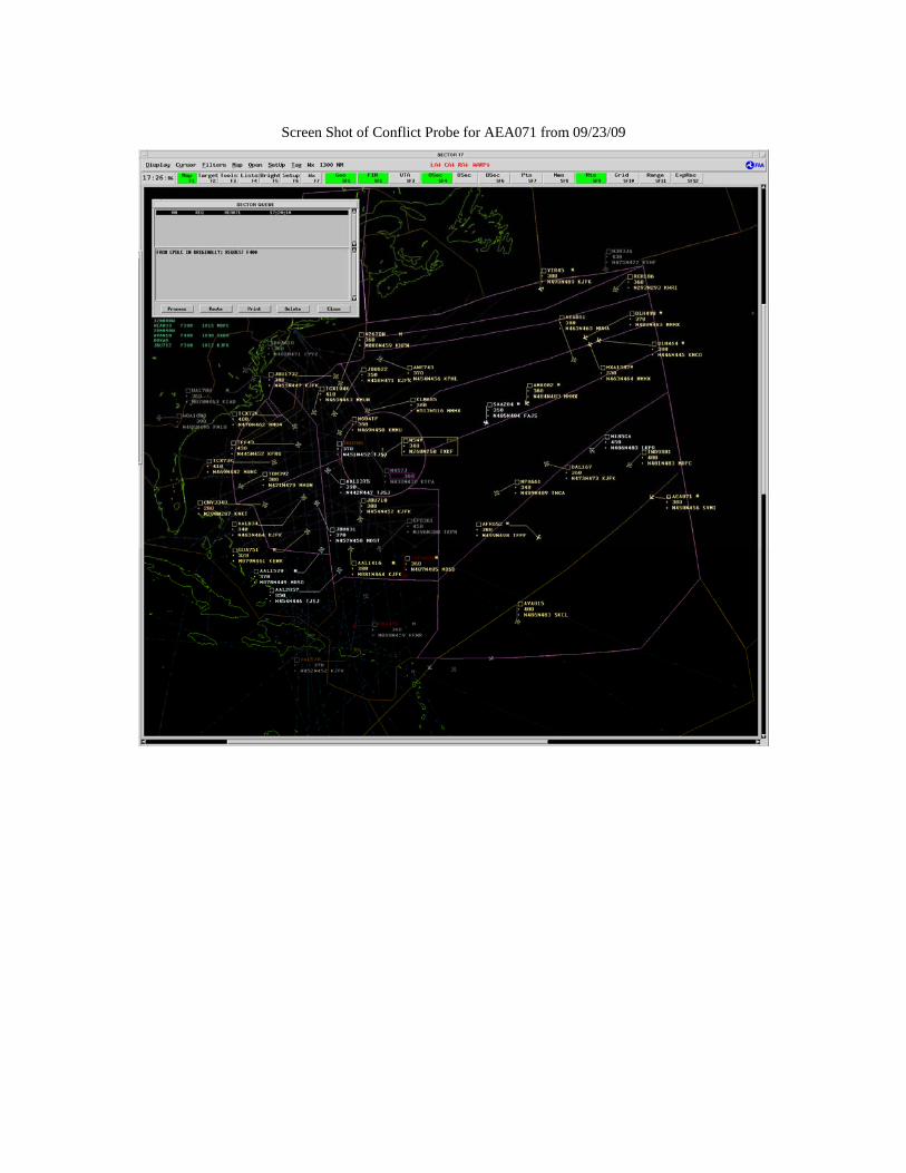
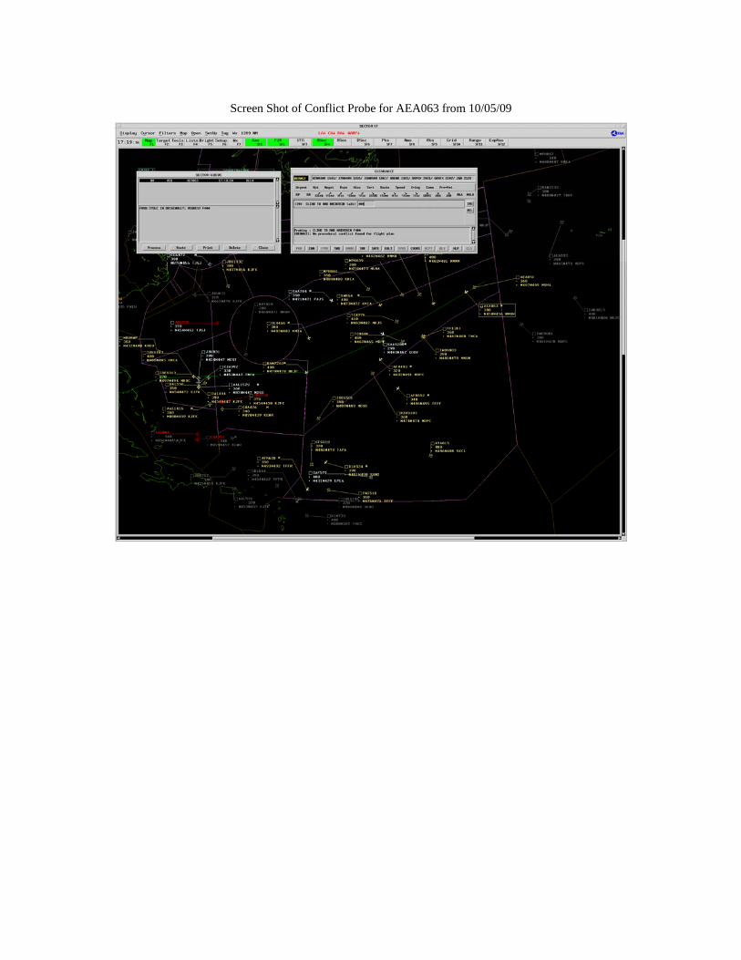
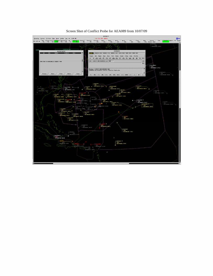
After completing the optimization runs, any needed altitude change request messages were created for those trajectories with altitudes differing from their flown altitudes. The altitude change request messages were submitted to the OIIF for further evaluation. The OIIF recreated the traffic scenarios using data from the FAA’s System Analysis Recording (SAR) program for each of the demonstration dates to evaluate the ZNY airspace; the airspace outside of ZNY was not included in the simulation. In addition, certain SAR messages were deemed insignificant and removed from the traffic scenario to reduce processing time. After receiving the optimal altitudes via the altitude change request messages, the OIIF incorporated the new messages into the developed scenarios. The simulated scenarios began before the time of the first altitude change request message and continued running until shortly after the last altitude change request message was evaluated. For each change request message, the OIIF probed the requested altitude for conflicts and recorded the air traffic control response. A screen shot of each flight at the time of the request is included in Appendix A.
Based on the OIIF probed results, the flown trajectories were modified to incorporate the optimal altitudes and then reprocessed by OPGEN using forward-integration mode. This mode essentially flies the plane forward, using the airline reported oceanic entry weight, and calculates the fuel consumption for each segment. Flying the flight using forward integration confirms that the optimal altitudes were feasible given the flight’s reported oceanic entry weight, and that the aircraft was not too heavy for the optimal climb.
Results and Discussion
Although the modeled flown trajectories represented the flights’ oceanic en route segments, the analysis focused solely within ZNY airspace due to the availability of the conflict probe. As a result, the CSSI team identified the flown trajectory points closest to the entry and exit of the ZNY airspace boundary and trimmed the trajectories to represent the ZNY oceanic en route segments for optimization and analysis.
The OPGEN model produced optimal altitudes for each flight with the time of the altitude change request coinciding with the time of entry into ZNY airspace; the model took into account
the requirements for entering Piarco’s airspace at cardinal (even) flight levels. The altitude change requests are shown in
Table 1 below and represent the input to the OIIF simulation. The OIIF incorporated the altitude change request messages into the traffic scenarios and ran the simulation to probe for conflicts. All flights were probed for conflicts for the entire route of flight with FAA airspace. The results returned all flights, with the exception of AEA89 on September 16th, as conflict-free and approved for the new requested altitudes. Flight AEA89 on September 16th was approved to climb approximately 40 minutes after the initial requested climb.
Table 1. Altitude Change Request Messages Generated for the OIIF Simulation
The modeled results suggest that the sample demonstration flights could have requested higher altitudes soon after entering ZNY airspace and, as a result of those altitudes, could have achieved additional benefits above those experienced during the demonstration. Comparing the flown trajectory fuel burns to the optimal altitude trajectory fuel burns estimated an additional savings of 1.7%. This savings is considered the modeled upper bound since it does not take into account the impact of human factors, such as the pilots’ concern with increased exposure to cosmic radiation levels as a flight climbs to higher altitudes or travels closer to the poles. This concern would result in lower than expected modeled optimal altitudes. To understand the effect on fuel savings, the optimal trajectories were adjusted such that the altitudes did not exceed 40,000 feet. Seven flights (shown above in Table 1) with flight levels of 41,000 feet were reprocessed through OPGEN so that optimal requests would be FL400 instead of FL410. The seven flights were not rerun through OIIF scenarios since the conflict probe automatically confirms that each flight level up to the requested altitude is available. Since these flights were originally cleared to FL410, the flights would have also been conflict free for FL400. The adjusted optimal altitudes reduced the trajectory fuel burn savings to an estimated additional savings of 1.3%.
Appendix A
Screen Shot of Conflict Probe for AEA033 from 09/14/09
Screen Shot of Conflict Probe for AEA051 from 09/15/09
Screen Shot of Conflict Probe for AEA089 from 09/16/09
Screen Shot of Conflict Probe for AEA033 from 09/21/09
Screen Shot of Conflict Probe for AEA071 from 09/23/09
Screen Shot of Conflict Probe for AEA071 and AEA089 from 09/24/09
Screen Shot of Conflict Probe for AEA033 from 09/28/09
Screen Shot of Conflict Probe for AEA033 from 10/05/09
Screen Shot of Conflict Probe for AEA063 from 10/05/09
Screen Shot of Conflict Probe for AEA063 from 10/06/09
Screen Shot of Conflict Probe for AEA089 from 10/07/09
Screen Shot of Conflict Probe for AEA063 from 10/26/09