Hampton, Lenzini and Renwick, Inc. ELGIN SPRINGFIELD WOODRIDGE www.hlrengineering.com Civil & Structural Engineers . Land Surveyors . Environmental Services Figure 3 Comparing Land Use Aerial Photographs Scale: 1" = 400’ Hun tl e y Ro a d Ra nd a ll Ro a d 1999 Aerial Photography 2014 Aerial Photography
Transcript
Hampton, Lenzini and Renwick, Inc.
ELGIN . SPRINGFIELD . WOODRIDGE
www.hlrengineering.com
Civil & Structural Engineers . Land Surveyors . Environmental Services
Figure 3
Comparing Land Use
Aerial Photographs
Scale: 1" = 400’
Huntley R
oad
Randall R
oad
1999 Aerial Photography
2014 Aerial Photography
1999 Aerial Photography
2014 Aerial Photography
Sleepy H
ollo
w R
oad
White C
hapel Lane
Hampton, Lenzini and Renwick, Inc.
ELGIN . SPRINGFIELD . WOODRIDGE
www.hlrengineering.com
Civil & Structural Engineers . Land Surveyors . Environmental Services
Figure 3
Comparing Land Use
Aerial Photographs
Scale: 1" = 400’
Longmeadow Parkway
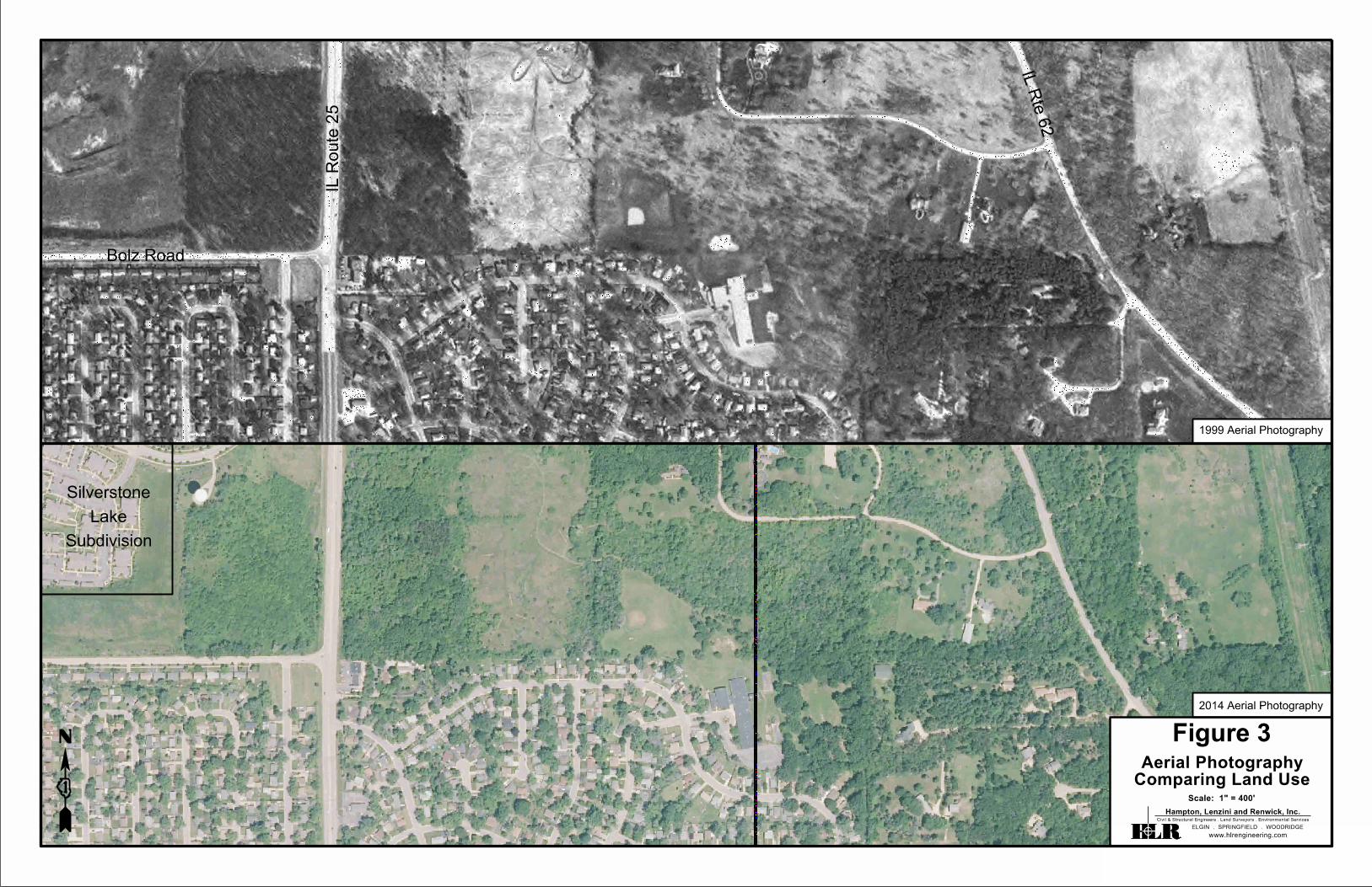
Hampton, Lenzini and Renwick, Inc.
ELGIN . SPRINGFIELD . WOODRIDGE
www.hlrengineering.com
Civil & Structural Engineers . Land Surveyors . Environmental Services
Scale: 1" = 400’
1999 Aerial Photography
2014 Aerial Photography
Figure 3
Comparing Land Use
Aerial Photography
Lathrop Lane
Kare
n Drive
IL R
oute 3
1
Hampton, Lenzini and Renwick, Inc.
ELGIN . SPRINGFIELD . WOODRIDGE
www.hlrengineering.com
Civil & Structural Engineers . Land Surveyors . Environmental Services
Scale: 1" = 400’
1999 Aerial Photography
2014 Aerial Photography
Fox River
Bolz Road
Willia
ms R
oad
Figure 4
Comparing Land Use
Aerial Photography
Hampton, Lenzini and Renwick, Inc.
ELGIN . SPRINGFIELD . WOODRIDGE
www.hlrengineering.com
Civil & Structural Engineers . Land Surveyors . Environmental Services