12
Glendale Wildland Fire History 1900 - 2004

GlendaleWildland
Fire History1900 - 2004

1900 - 1910

1900 - 1920
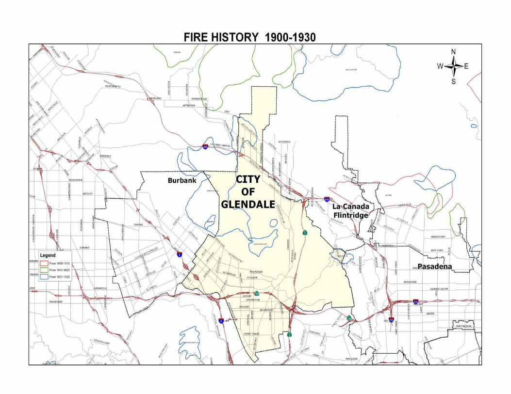
1900 - 1930

1900 - 1940

1900 - 1950

1900 - 1960
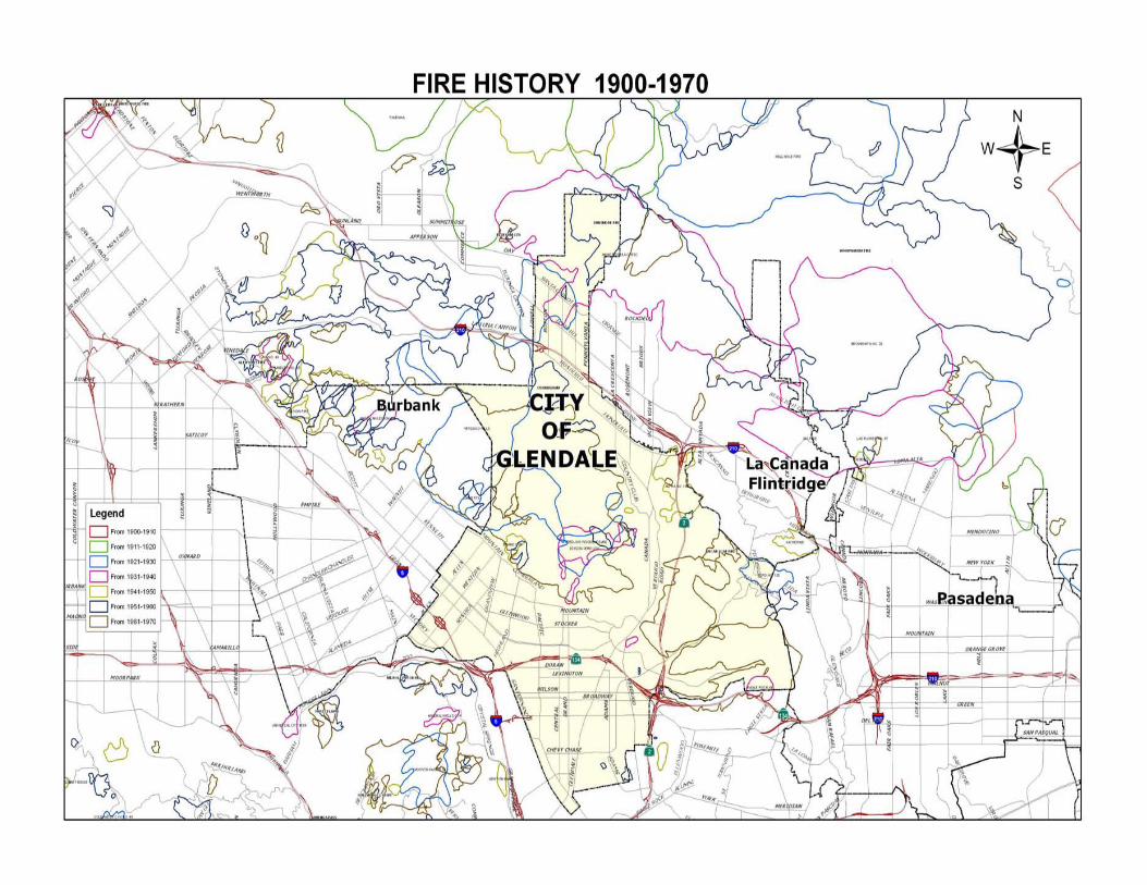
1900 - 1970

1900 - 1980

1900 - 1990

1900 - 2000

1900 - 2004


