36
www.geobi.org Open Source Location Intelligence
| Date post: | 21-Oct-2014 |
| Category: |
Technology |
| View: | 1,961 times |
| Download: | 0 times |
www.geobi.org
Open Source Location Intelligence
www.geobi.org
GeoBI Initiativethe open source location intelligence ecosystem
andrea.gioia (AT eng.it) - Engineering
yves.jacolin (AT camptocamp.com) – Camptocamp
November 9, 2010 - Grenoble
www.geobi.org
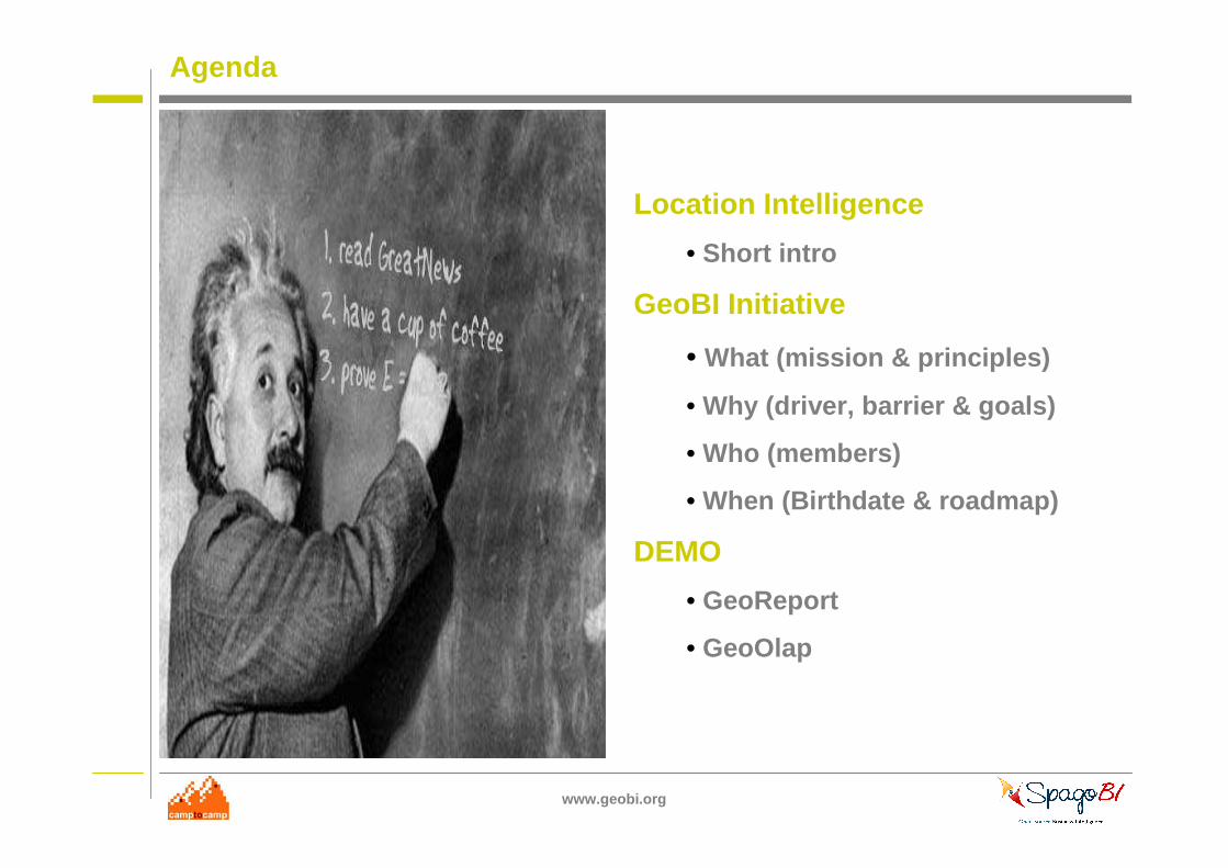
Agenda
Location Intelligence
• Short intro
GeoBI Initiative
• What (mission & principles)
• Why (driver, barrier & goals)
• Who (members)
• When (Birthdate & roadmap)
DEMO
• GeoReport
• GeoOlap

www.geobi.org
Before to start…
Aldo Risolvo on Flickr : http://www.flickr.com/photos/cataldo/100933415/
www.geobi.org
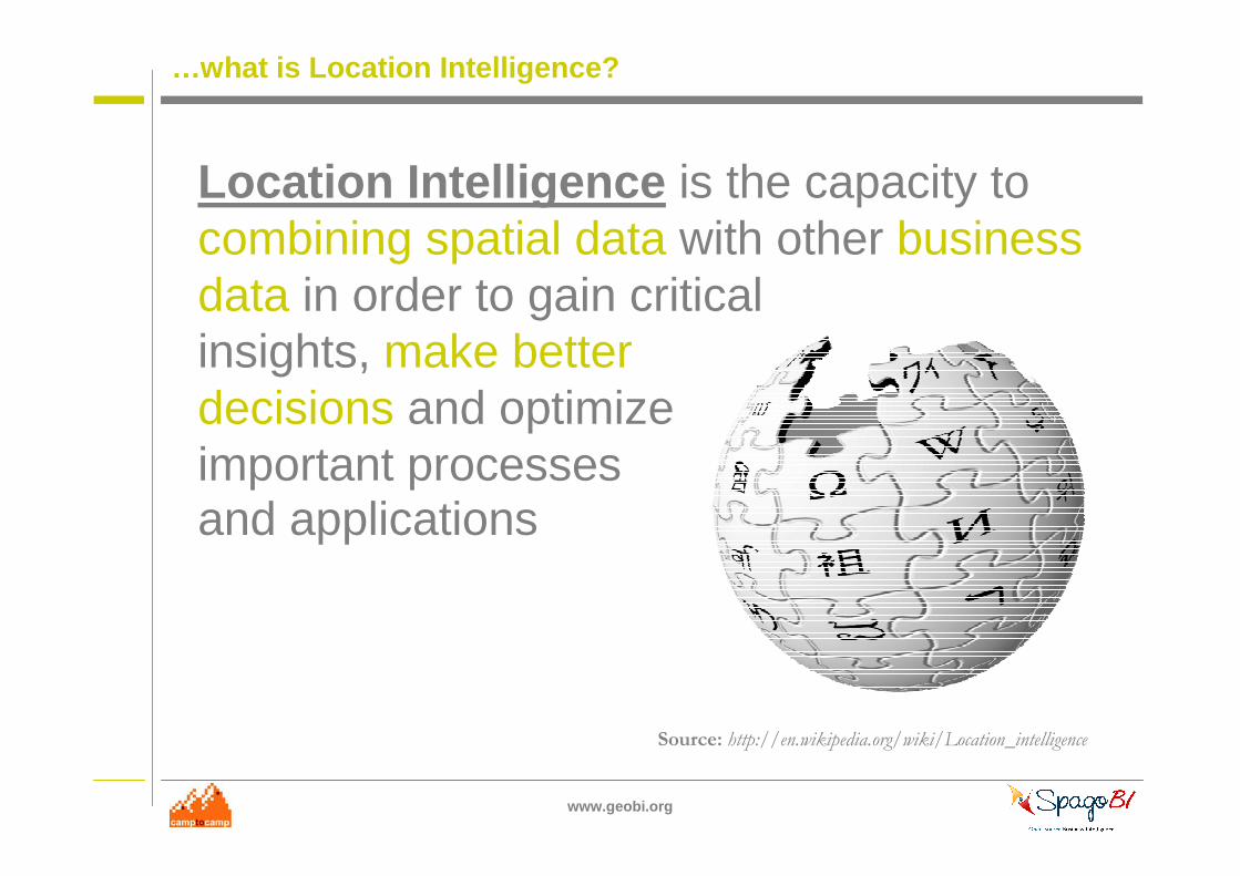
…what is Location Intelligence?
Location Intelligence is the capacity tocombining spatial data with other business data in order to gain critical insights, make better decisions and optimize important processes and applications
Source: http://en.wikipedia.org/wiki/Location_intelligence
www.geobi.org
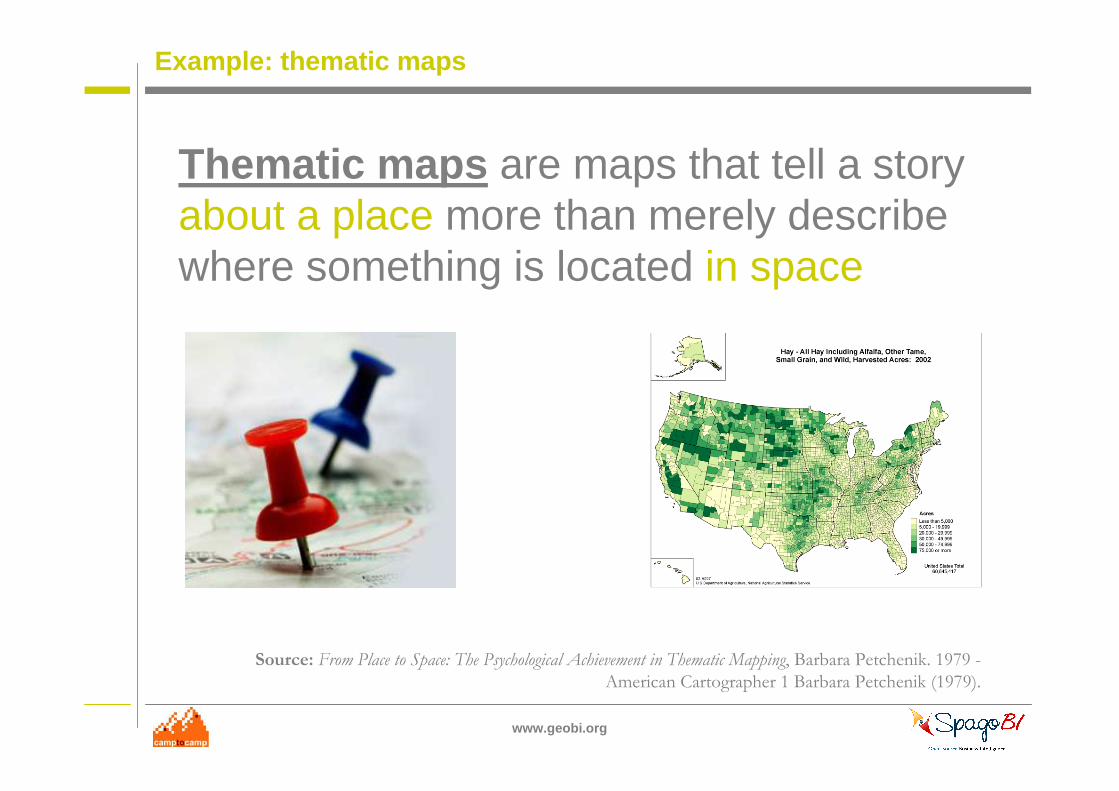
Example: thematic maps
Thematic maps are maps that tell a storyabout a place more than merely describe where something is located in space
Source: From Place to Space: The Psychological Achievement in Thematic Mapping, Barbara Petchenik. 1979 -
American Cartographer 1 Barbara Petchenik (1979).

www.geobi.org
#1 - WHAT
Reynolds on Flickr : http://www.flickr.com/photos/lwr/4519785041/
www.geobi.org
GeoBI Inititative
GeoBI Initiative is an open community (composed by companies, organizations, and individuals) built upon a common aim:
make open source Location Intelligence adoption pervasive
www.geobi.org
Key Principles
All members shares the following key principles :
• new value proposition
• separation of concerns
• incremental growth
• low TCO
Brenda Clarke on Flickr : http://www.flickr.com/photos/brenda-starr/3509344402/
www.geobi.org
#2 - WHY
Reynolds on Flickr : http://www.flickr.com/photos/lwr/3940744688/
www.geobi.org
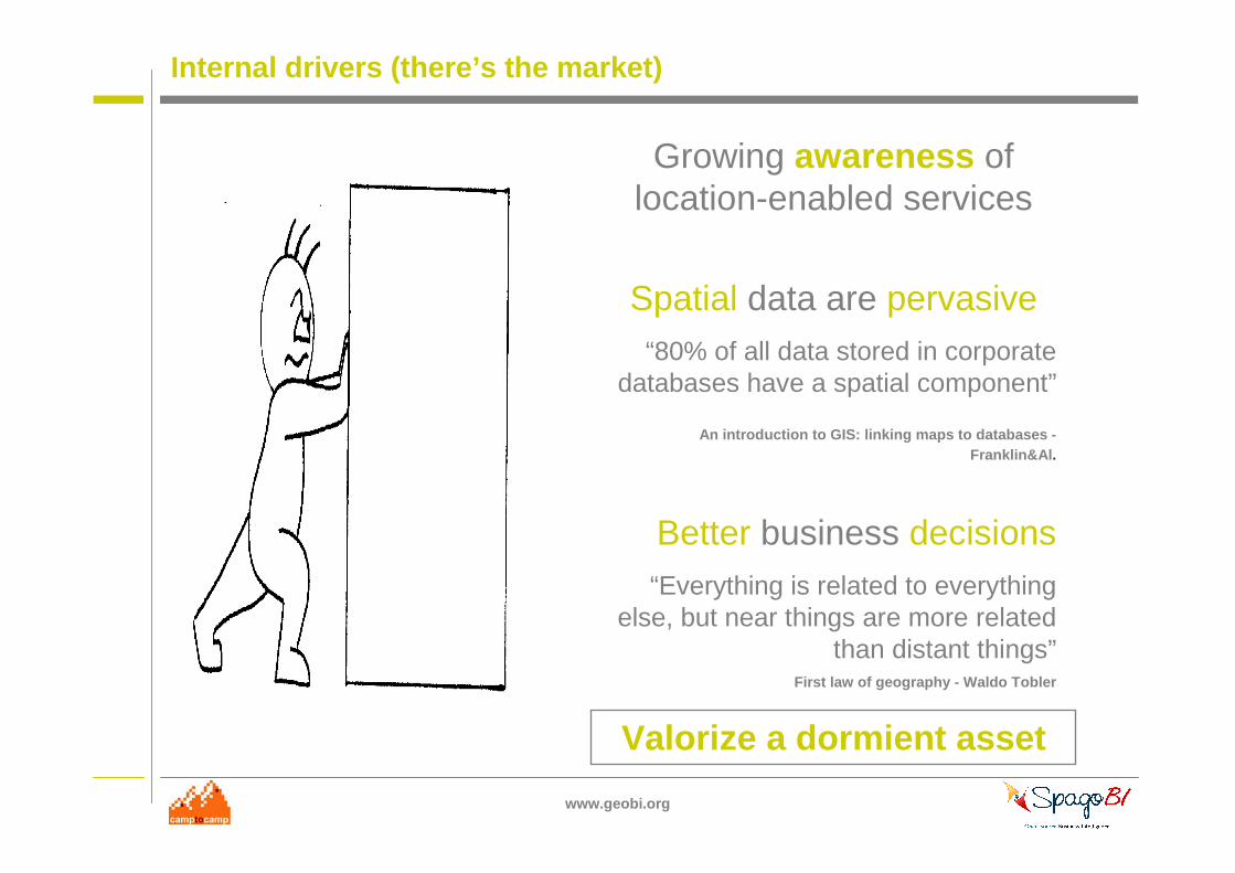
Internal drivers (there’s the market)
Growing awareness of location-enabled services
Spatial data are pervasive“80% of all data stored in corporate
databases have a spatial component”
An introduction to GIS: linking maps to databases -Franklin&Al .
Better business decisions“Everything is related to everything
else, but near things are more related than distant things”
First law of geography - Waldo Tobler
Valorize a dormient asset
www.geobi.org
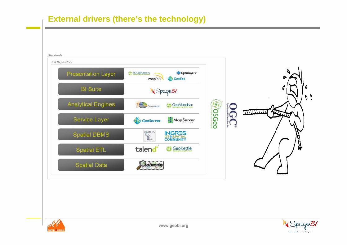
External drivers (there’s the technology)
www.geobi.org
…but there are also barriers :(
JarkkoS on Flickr : http://www.flickr.com/photos/jarkkos/424291584/
www.geobi.org
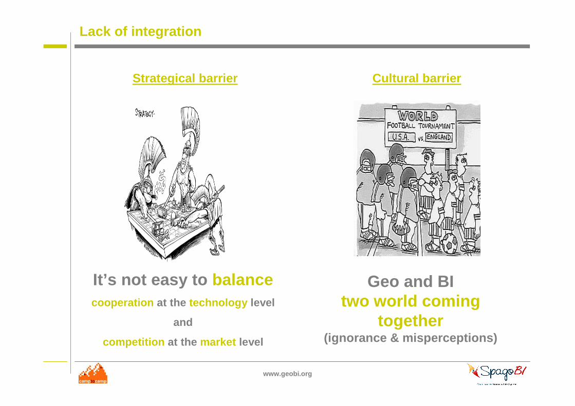
Lack of integration
Strategical barrier Cultural barrier
It’s not easy to balancecooperation at the technology level
and
competition at the market level
Geo and BI two world coming
together(ignorance & misperceptions)
www.geobi.org
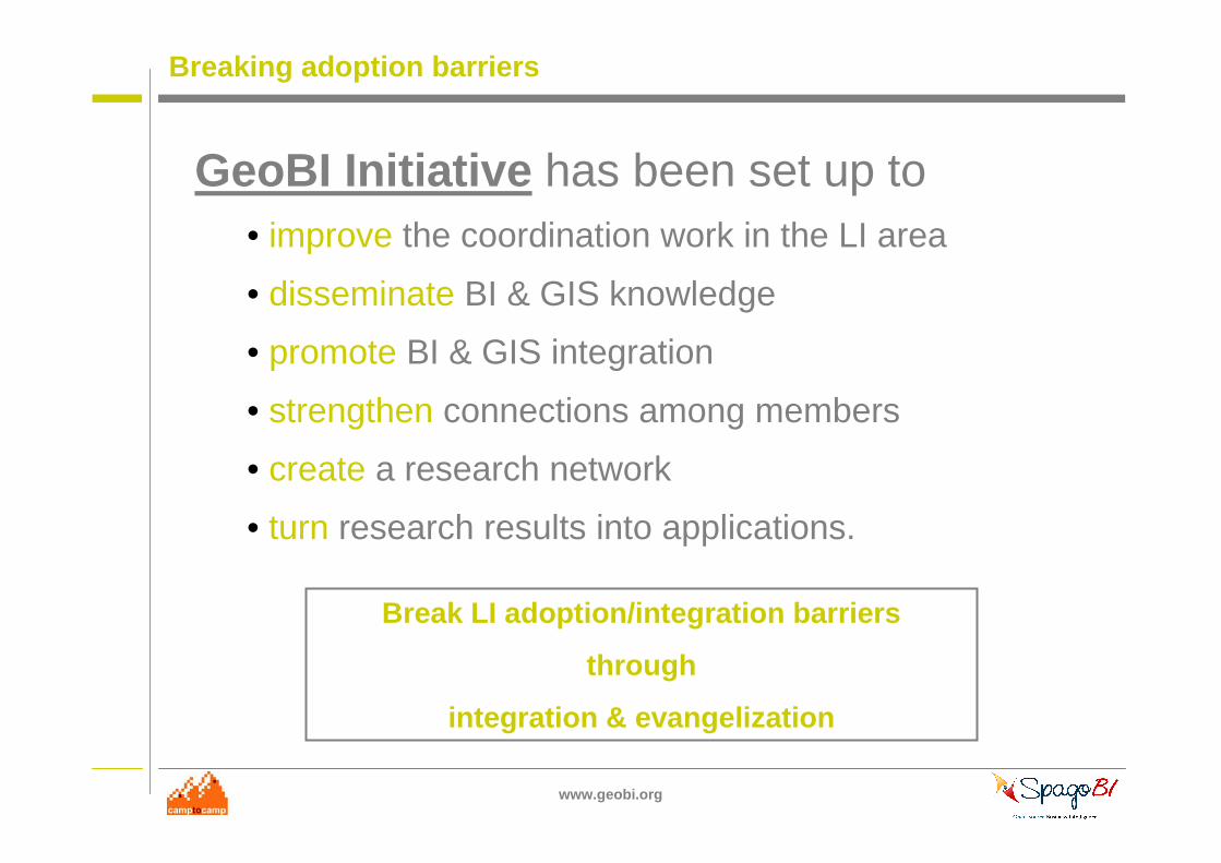
Breaking adoption barriers
GeoBI Initiative has been set up to• improve the coordination work in the LI area
• disseminate BI & GIS knowledge
• promote BI & GIS integration
• strengthen connections among members
• create a research network
• turn research results into applications.
Break LI adoption/integration barriers
through
integration & evangelization
www.geobi.org
#3 - WHO
Reynolds on Flickr : http://www.flickr.com/photos/lwr/3559571298/
www.geobi.org
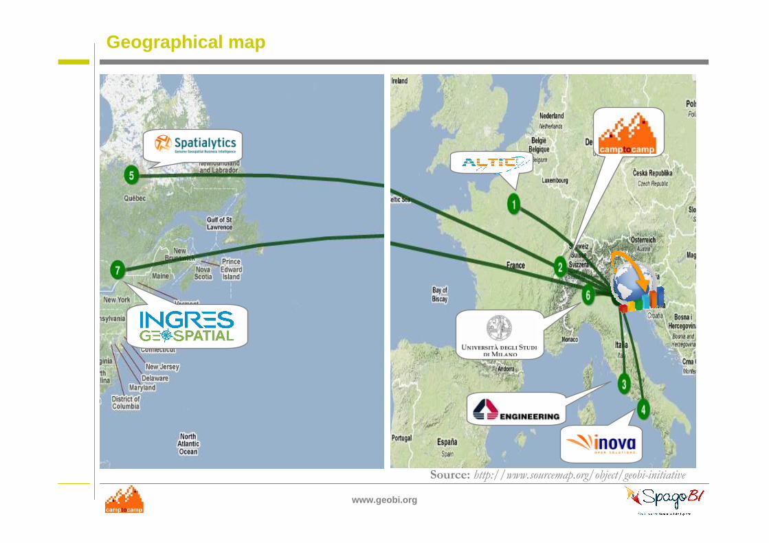
Geographical map
Source: http://www.sourcemap.org/object/geobi-initiative
www.geobi.org
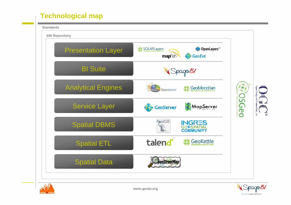
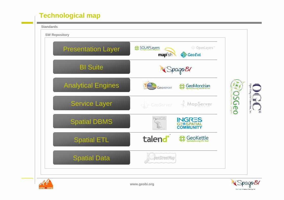
Technological map
Spatial Data
Spatial ETL
Spatial DBMS
Service Layer
Analytical Engines
BI Suite
Presentation Layer
SW Repository
Standards
www.geobi.org
Technological map
Spatial Data
Spatial ETL
Spatial DBMS
Service Layer
Analytical Engines
BI Suite
Presentation Layer
SW Repository
Standards
www.geobi.org
New members are welcome!
Tom Magliery on Flickr - http://www.flickr.com/photos/mag3737/1914076277/
www.geobi.org
#4 - WHEN
takomabibelot on Flickr : http://www.flickr.com/photos/takomabibelot/2604494470
www.geobi.org
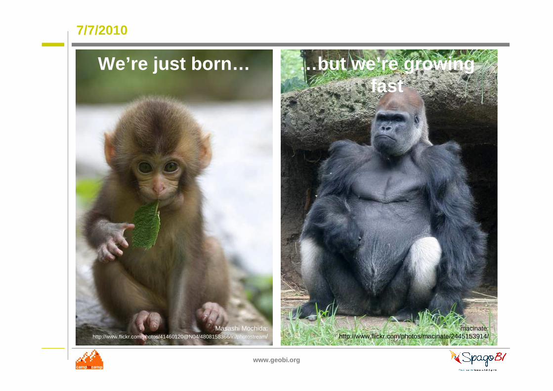
7/7/2010
We’re just born…
Masashi Mochida: http://www.flickr.com/photos/41460120@N04/4808158366/in/photostream/
macinate:http://www.flickr.com/photos/macinate/2445153914/
…but we’re growing fast
www.geobi.org
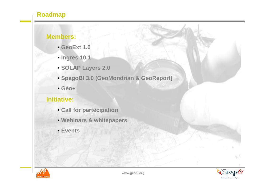
Roadmap
takomabibelot on Flickr : http://www.flickr.com/photos/takomabibelot/2604494470
Members:
• GeoExt 1.0
• Ingres 10.1
• SOLAP Layers 2.0
• SpagoBI 3.0 (GeoMondrian & GeoReport)
• Gèo+
Initiative:
• Call for partecipation
• Webinars & whitepapers
• Events
www.geobi.org
DEMO
National Library NZ on The Commons on Flickr :http://www.flickr.com/photos/nationallibrarynz_commons/3326203787
www.geobi.org
DEMO1: GeoReport
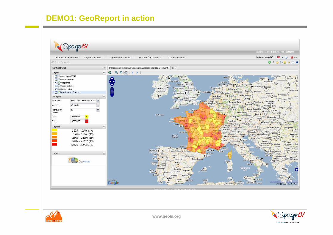
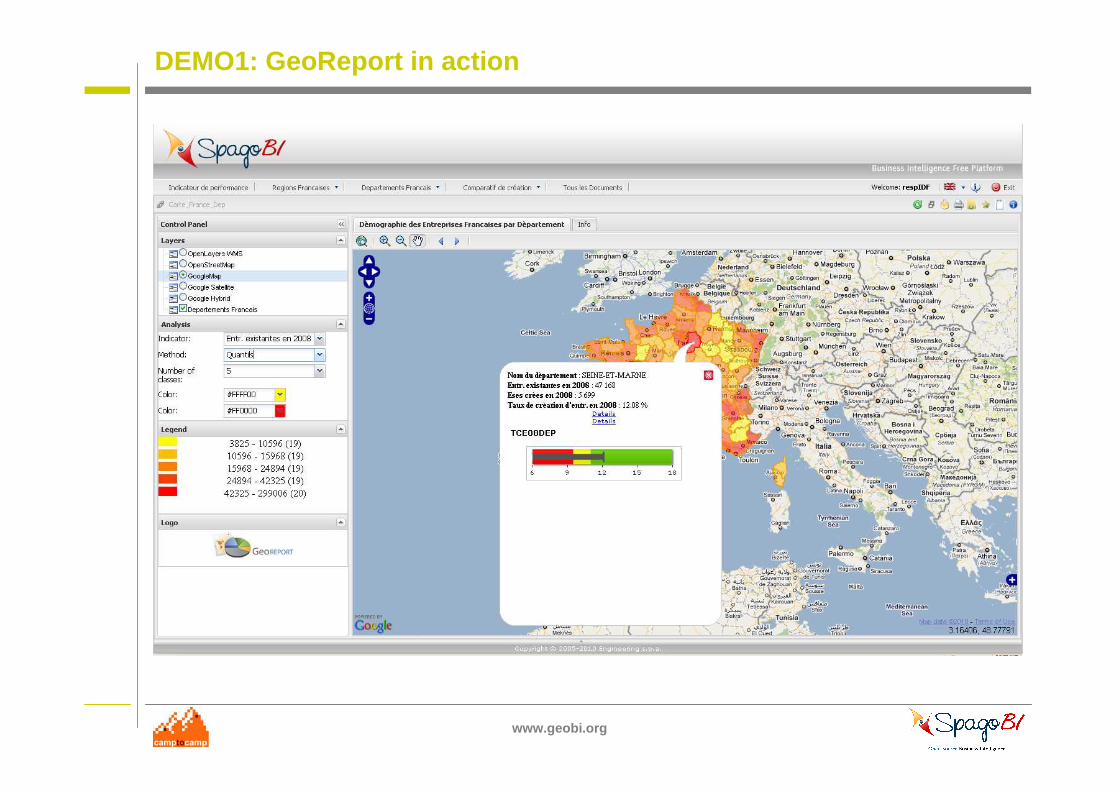
GeoRreport is a geographical extension of traditional reporting systems.
It allows to plot every kind of dataset directly on a map (i.e. multidimensional data model is not required)
www.geobi.org
DEMO1: GeoReport an example of collaboration
Originally created by INOVA
Based on Mapfish and GeoExt projects backed by Camptocamp
Integrated into SpagoBI Suite by Engineering
The demo I’m going to show has been made by Altic
www.geobi.org
DEMO1: GeoReport in action
www.geobi.org
DEMO1: GeoReport in action
www.geobi.org
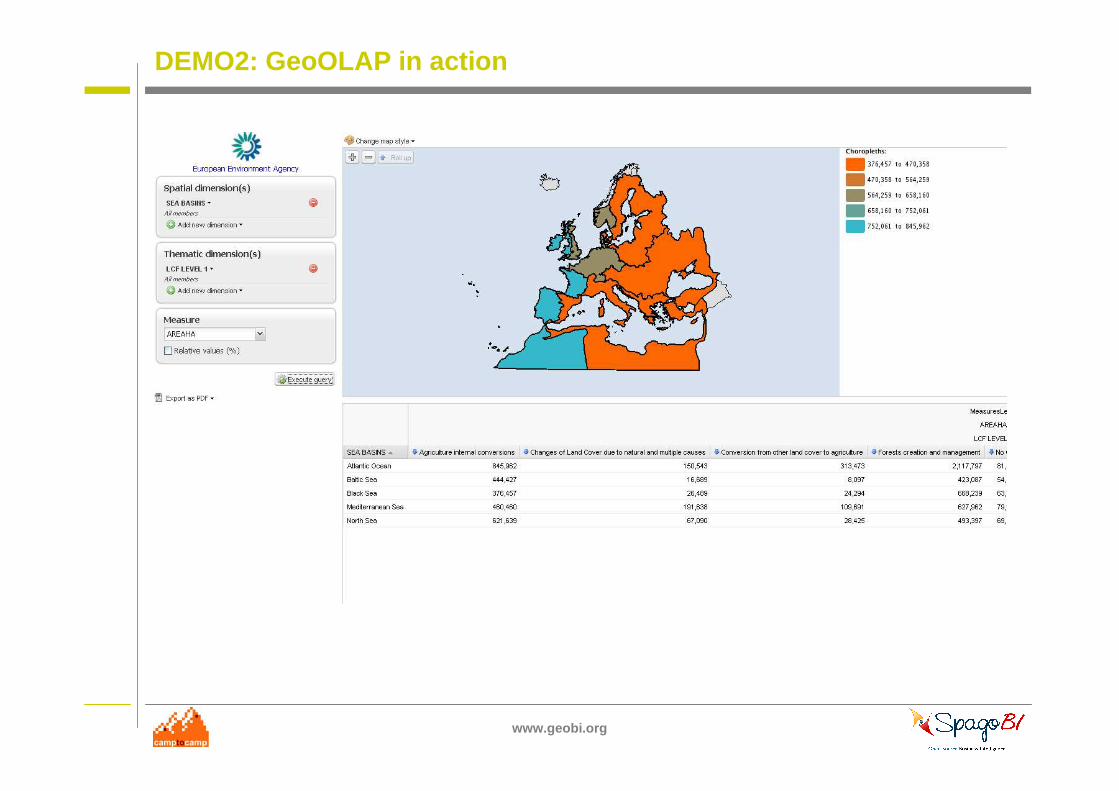
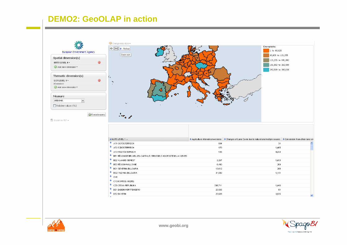
DEMO2: GeoOLAP
GeoOLAP is a geographical extension of traditional OLAP systems.
It allows to dynamically slice, dice and drill through data (i.e. multidimensional data model is required)
www.geobi.org
DEMO2: GeoOLAP an example of collaboration
Demo made by Camptocamp
Based on GeoMondrian projects backed by Spatialytics
www.geobi.org
DEMO2: GeoOLAP in action
www.geobi.org
DEMO2: GeoOLAP in action

www.geobi.org
Q&A
www.geobi.org
Thanks
www.geobi.org
Links
www.slideshare.net
/spagoworld
www.geobi.org
www.camptocamp.com
www.spagobi.org
www.geobi.org
Licence
Attribution-NonCommercial-ShareAlikeSource: http://creativecommons.org/licenses/by-nc-sa/3.0/


