Page 1
GSTAR – Computer Application & Quantitative Methods in Archaeology 2015 – Siena, March-April 2015
From interoperable to interoperating Geosemantic resources
Paul Cripps
University of South Wales, Trefforest, UK
• Hypermedia Research Group
• Geographic Information Systems (GIS) Research Group
Archaeogeomancy, Salisbury, UK
http://gstar.archaeogeomancy.net/
Practical examples of producing and using Linked Geospatial Data (LGD)
Douglas Tudhope
University of South Wales, Trefforest, UK
• Hypermedia Research Group
Page 2
GSTAR – Computer Application & Quantitative Methods in Archaeology 2015 – Siena, March-April 2015
Introduction
• Background• Geospatial Semantics
• Linked Geospatial Data (LGD)
• LGD for Archaeological Research
• GSTAR
• Producing LGD
• Using LGD
• Case Study:• Colonisation of Britain
• Case Study:• CRMEHgeo
• Interoperable
• Interoperating
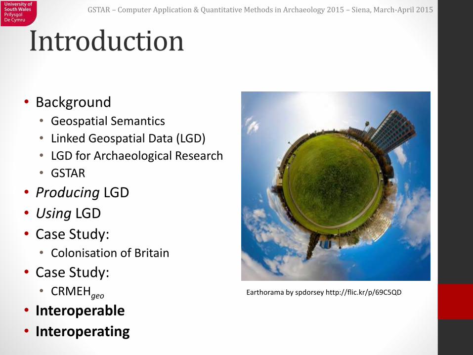
Earthorama by spdorsey http://flic.kr/p/69C5QD
Page 3
GSTAR – Computer Application & Quantitative Methods in Archaeology 2015 – Siena, March-April 2015
Geospatial Semantics
• “…research area combining Geographic Information Science (GIScience), spatial databases, cognitive science, Artificial Intelligence (AI) and the Semantic Web” • Janowicz, K. et al., 2012.
• Concept of Linked Geospatial Data (LGD) as means of expressing spatial information
Page 4
GSTAR – Computer Application & Quantitative Methods in Archaeology 2015 – Siena, March-April 2015
Linked Geospatial Data
• LD including spatial components
•Various forms, methods, approaches:• Suit different use cases
• ‘Simple’ database, textual, LD approaches
• More complex GIS driven approaches
•Major research area• W3C + OGC collaboration
• Semantic Web / Linked Data community
• Geospatial community
Page 5
GSTAR – Computer Application & Quantitative Methods in Archaeology 2015 – Siena, March-April 2015
Linked Geospatial Data
• Simple LGD:
•Placenames• Gazetteers
• eg Plaiedes, Geonames, Ordnance Survey
• Leverage Linked Data approaches
•Coordinates ie point locations• Numbers, text
• Leverage numeric approaches
• Mapping as points, markers
Page 6
GSTAR – Computer Application & Quantitative Methods in Archaeology 2015 – Siena, March-April 2015
Linked Geospatial Data
• Advanced LGD:
• Geometries• points, lines, polygons,
donuts, etc
• Relations & Functions• eg Within, Contains,
Intersects
• eg Buffer
• Coordinate Reference Systems (CRS)• Transformations &
Projections
• Implement OGC standards• WKT, GML, Simple
Features
• Implement W3C standards• XML, RDF, RDFS, OWL,
SPARQL
• New OGC+W3C standards• GeoSPARQL
Page 7
GSTAR – Computer Application & Quantitative Methods in Archaeology 2015 – Siena, March-April 2015
LGD for Archaeological Research
•Real-world Archaeological Research Questions can be complex:• “Show me a distribution density plot for each
Parish in my Study Area of all object records by type from prehistoric sites of type barrow within 500m of a higher than average density of worked flint”
•Currently not easy to do…• Disparate sources, including Linked Data
• Semantic, Numeric, Spatial
Page 8
GSTAR – Computer Application & Quantitative Methods in Archaeology 2015 – Siena, March-April 2015
GSTAR
•GeoSemantic Technologies for Archaeological Research
•Doctoral research project• Due for completion April 2016
•Building on:• core CIDOC CRM
• CRMEH extension
• GeoSPARQL
Page 9
GSTAR – Computer Application & Quantitative Methods in Archaeology 2015 – Siena, March-April 2015
GSTAR
• Investigating:• Production of Linked (Geospatial) Data• Working with Linked (Geospatial) Data• For Archaeological research purposes
• Use cases:• Archaeological research scenarios (academic,
commercial, etc)• How can LGD support real-world research processes?
• Using range of data from UK institutions• Wiltshire Museums, Wiltshire Historic Environment
Record, English Heritage, Wessex Archaeology, Archaeology Data Service
Page 10
GSTAR – Computer Application & Quantitative Methods in Archaeology 2015 – Siena, March-April 2015
GSTAR
Page 11
GSTAR – Computer Application & Quantitative Methods in Archaeology 2015 – Siena, March-April 2015
Producing LGD
• Leverage existing ontologies:• To add place identifiers• Placenames, UIDs, Coordinates• CIDOC CRM: Place Appellation identifies Place
• To add depictions• Geometries• GeoSPARQL: Feature has Geometry (asWKT,
asGML)
• CSV, rDBMS, shp, gdb, xml pipelines• RDF, Turtle • Triplestore
Page 12
GSTAR – Computer Application & Quantitative Methods in Archaeology 2015 – Siena, March-April 2015
Using LGD
•Growing number of tools, platforms• Data storage
• Processing
• Visualisation
• Spatially enabled triple stores• eg Parliament, Oracle, etc
•Web Services to handle data
• Libraries for processing, conversions, parsing, mapping, etc
Page 13
GSTAR – Computer Application & Quantitative Methods in Archaeology 2015 – Siena, March-April 2015
Using LGD – query
•Query using SPARQL
•Query using GeoSPARQL• Extension of SPARQL; same syntax
• Compliant endpoints
• Wrappers, APIs, etc
•Maps!
Page 14
GSTAR – Computer Application & Quantitative Methods in Archaeology 2015 – Siena, March-April 2015
Using LGD – results
• Very flexible; many options• Not always so straightforward…
• Bigger Toolbox: LD stack + FOSS webgisstack • Ontologies, Java, Jena, Joseki/Fuseki, GeoTools, Jetty,
Parliament, OpenLayers, GeoServer, etc
• RDF, JSON, XML, etc for use in applications• Use XSLT/HTML/CSS/PHP etc• Text, tables, images, etc
• Use WFS/GML/WKT/GeoJSON etc• Web Maps
Page 15
GSTAR – Computer Application & Quantitative Methods in Archaeology 2015 – Siena, March-April 2015
Using LGD - GSTAR
• Working GeoSPARQL endpoint!• Parliament
• Source data Linked Geospatial Data• Interoperating geosemantic resources• Ongoing: Building web page to house a
querying/browsing/results interface • Linked Data widgets from HeritageData.org
• Map based interface • Visualisations • Capture query polygon GeoSPARQL query
Page 16
GSTAR – Computer Application & Quantitative Methods in Archaeology 2015 – Siena, March-April 2015
CASE STUDY
Colonisation of Britain
Page 17
GSTAR – Computer Application & Quantitative Methods in Archaeology 2015 – Siena, March-April 2015
Colonisation of Britain
•Digitisation project• Undertaken by Wessex Archaeology
• Funded by English Heritage
• Deposited with Archaeology Data Service
• Linked Data component• Outputs represented as Linked Data
• Uses CIDOC CRM
• Now online at ADS
Page 18
GSTAR – Computer Application & Quantitative Methods in Archaeology 2015 – Siena, March-April 2015
Colonisation of Britain - geo
•Names of Places• UK administrative areas
• Parish, County
• Incorporates Ordnance Survey Open Data• Processed using Open Refine + OS API
•Potential to extend further by adding GeoSPARQL nodes• eg to add actual Parish boundaries
Page 19
GSTAR – Computer Application & Quantitative Methods in Archaeology 2015 – Siena, March-April 2015
Colonisation of Britain Linked DataWessex Archaeology, Archaeology Data Service
Linked Data resource built using STELLAR Toolkit including Ordnance Survey Open Data
Page 20
GSTAR – Computer Application & Quantitative Methods in Archaeology 2015 – Siena, March-April 2015
CASE STUDY
CRMEHgeo
Page 21
GSTAR – Computer Application & Quantitative Methods in Archaeology 2015 – Siena, March-April 2015
CRMEHgeo
• Integration of CRMEH + GeoSPARQL
• Uses RDFS subClass & subProperty• CRMEH classes inherit from CIDOC CRM &
GeoSPARQL
• Basic, lightweight solution cf eg CRMgeo
• But more limited in scope
• Can also be applied to parent CRM classes • Integration of CIDOC CRM + GeoSPARQL
Page 22
GSTAR – Computer Application & Quantitative Methods in Archaeology 2015 – Siena, March-April 2015
CRMEHgeo
crmeh:EHE0007 Context crmeh:EHE0022 ContextDepiction
crmeh:EHP4i is depicted by
geo:Feature geo:hasGeometry
rdfs:subClassOf rdfs:subPropertyOf
sf:Polygon
rdfs:isA
Instance of
WKT Literal
geo:asWKT
RDFS GeoSPARQLSimple Features CRMEH
crm:E53 Place crm:E44 Place
Appellation crm:p87 is
identified by
rdfs:subPropertyOf rdfs:subClassOfrdfs:subClassOf
CIDOC CRM
Page 23
GSTAR – Computer Application & Quantitative Methods in Archaeology 2015 – Siena, March-April 2015
CRMEHgeo
• Applied to source data for GSTAR• Sources QGIS, STELLAR Toolkit Parliament
• Museum Collections• MODES XML RDF + WKT
• Historic Environment Records• HBSMR Esri GDB, MS Access RDF + WKT
• Commercial Archaeology Unit • Databases/GIS Txt, MS Access, Shp RDF +
WKT
Page 24
GSTAR – Computer Application & Quantitative Methods in Archaeology 2015 – Siena, March-April 2015
CRMEHgeo
•Process designed for GSTAR• Compilation of LGD resource to answer PhD
research questions
•Wider applicability• Source repo STELLAR etc LGD repo
• Entirely FOSS
• Scriptable, batchable
•Potential route to enable existing resources…?
Page 25
GSTAR – Computer Application & Quantitative Methods in Archaeology 2015 – Siena, March-April 2015
CONCLUSIONS
From Interoperable to Interoperating
Page 26
GSTAR – Computer Application & Quantitative Methods in Archaeology 2015 – Siena, March-April 2015
Interoperable
• Include CoB data in OS web map apps• eg Distribution plans: display artefact
densities by administrative area
• eg Location plans: show in resources regarding artefact types where examples have been found
•Data is online, licensed & accessible
• So interoperable• no tech, political barriers to interoperating…
Page 27
GSTAR – Computer Application & Quantitative Methods in Archaeology 2015 – Siena, March-April 2015
Interoperating
• GSTAR Demonstrator (in development) • Data Layer complete• Application Layers in progress
• Present a range of queries relating actual use cases:• Real world research questions• Input from domain specialists
• Integrate multiple sources• Inference: generation of relationships using spatial
components of sources
• Query via web map• Present data via web map
Page 28
GSTAR – Computer Application & Quantitative Methods in Archaeology 2015 – Siena, March-April 2015
Interoperating
• Investigating archaeological research questions
• Start with questions:• eg Show me a distribution
density plot for each Parish in Study Area of all object records by object type fromprehistoric sites of type barrow within 500m of a higher than average density of worked flint
• Express as Queries• GeoSPARQL
• Visualise results, think, do
• Integration of cultural heritage resources:• Object Records from
Museum Collection
• Site location, dating and classification from HER
• Fieldwalking data from commercial contractor
• User Generated input
• Spatial operators
• Numeric operators
• Sources
• Web mapping APIs, Linked Data APIs
Page 29
GSTAR – Computer Application & Quantitative Methods in Archaeology 2015 – Siena, March-April 2015
Interoperating
Page 30
GSTAR – Computer Application & Quantitative Methods in Archaeology 2015 – Siena, March-April 2015
Acknowledgements
• Thanks to:• University of South Wales – funding, supervision, advice• Archaeology Data Service – data from their archives• Wessex Archaeology – data, photographs and images• Wiltshire Council – access to the Historic Environment Record
(HER) data• Wiltshire Museums – access to museum collections data
• Personal thanks• Supervisors/Advisors: Doug Tudhope, Mark Ware, Alex Lohfink• Research group: Ceri Binding, Andreas Vlachidis, Keith May• Peers and colleagues: Michael Charno, Chris Brayne, Gerald
Heibel, David Dawson
• Image Credit• Earthorama by spdorsey http://flic.kr/p/69C5QD
Page 31
GSTAR – Computer Application & Quantitative Methods in Archaeology 2015 – Siena, March-April 2015
fin
• [email protected]
• [email protected]
• @pauljcripps
• gstar.archaeogeomancy.net
• hypermedia.research.southwales.ac.uk
• gis.research.southwales.ac.uk