+ All Categories
Home > Documents > Geomatics Career Development - Northern Michigan · PDF file · 2016-08-03Skills...

Geomatics Career Development - Northern Michigan · PDF file · 2016-08-03Skills...

Date post: 23-Mar-2018
Category:
Upload: dokien
View: 214 times
Download: 1 times
Share this document with a friend
2
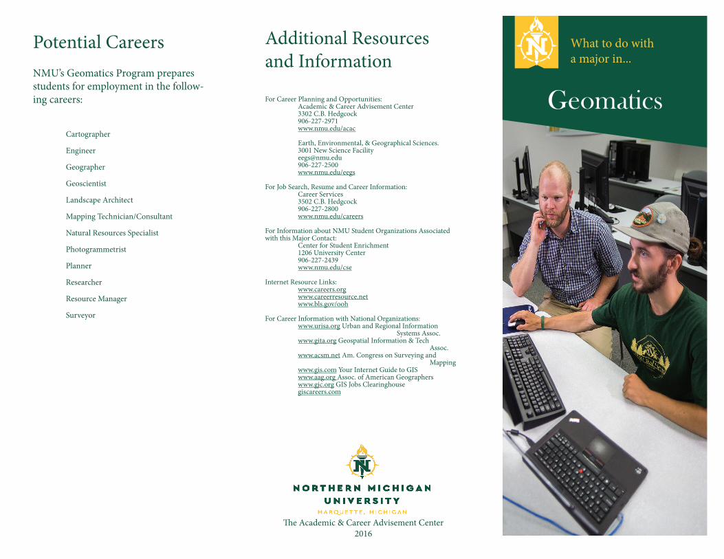
Skills and Competencies As in most other fields, strong interpersonal commu- nication and organizational skills are a must for any professional. Some other valuable skills and competencies specific to a profession in the Geomatics area include critical thinking, mapping and remote sensing, leadership abilities, and data analysis. You should also have skills in the following: soſtware (e.g. ESRI, Leica Geosystems, ArcInfo); hardware (e.g. GPS, digitizer, LIDAR, SAR, camera); data (e.g. Digital Globe, OrbiView, Space Imaging); facility/utility (e.g. phone, power, water, cable); and application development (e.g. MapQuest, GoogleEarth.)         Course Work is degree includes the following courses as part of the program requirements, and specific major re- quirements along with liberal studies and graduation requirements. Additional Considerations On-the-job-training and work experience may be ben- eficial, or even necessary, for some of the careers listed here. Internship opportunities are available for many of the jobs listed, and field experience is beneficial. Career Development Excellent analytical, communication, math and computer science and research skills are imperative along with a solid understanding of biological, chemical and physical processes. Gaining laboratory and field experience through internships is important. Although a minor is not required for this major, some minors might be helpful, depending upon the student’s career goals. Education beyond the bachelor’s degree is oſten desirable and may be required for some environmental fields.    Geomatics Are you good with maps? Do you enjoy working with computers? Would you be interested in an area that allows you to work with both geographical data and current technology? NMU’s Geomatics major might be just what you are looking for. Geomatics combines the technical and graphical areas of geography to solve every day problems. By using past and present geographical data, scientists use today’s leading computer technology to manipulate spatial data into useful information. Geomatics deals with knowledge in several areas including cartography, remote sensing, pho- togrammetry, computer science, and Global Positioning System (GPS). At NMU, the Geomatics major provides students with knowledge and skills related to informa- tion technology, spatial data management, analysis, and visualization. Job Outlook Starting salaries are contingent upon job title, geographic location, and the individual applicant’s work experience and initiative. is field is expected to grow faster than average, expanding at a 20% growth rate. Visit www.bls. gov/ooh for more information Core CS101 Website Construction (4 cr.) CS410 Database Development for Scientists (4 cr.) GC100 Physical Geography (4 cr.) GC101 Intro to Environmental Science (4 cr.) GC164 Human Geography (4 cr.) GC205 Introduction to Geographic Research (4 cr.) GC225 Introduction to Maps (2 cr.) GC235 Quantitative Methods (4 cr.) GC335 Geographic Information Systems (4 cr.) GC337 Computer Cartography (4 cr.) GC425 Remote Sensing (4 cr.) GC428 Spatial Analysis (4 cr.) GC489 Human Impact Upon the Env.(4 cr.) Electives Choose 8 credits from the following: AD118 Intro to Graphic Communications (4 cr.) CIS464 Database Management Systems (4 cr.) CS120 Computer Science I (4 cr.) or CS120A Acc. Computer Science I (4 cr.) CS122 Computer Science II (4 cr.) CS201 Programming in C++ (3 cr.) CS222 Data Structures (4 cr.) CS326 Object-Oriented Design (3 cr.) CS422 Algorithms Design and Analysis (3 cr.) CS460 Advanced Web Programming (3 cr.) CS442 Advanced Networking (4 cr.) DD100 Technical Drafting & Intro to CAD (4 cr.) DD110 CAD Productivity and Customization (2 cr.) GC445 Adv. Aerial Photograph Interpretation & Photogrammetry (2 cr.) GC455 Digital Image Processing (2 cr.) GC491 Internship (2-6 cr.) Detailed course descriptions can be found at www.nmu.edu/bulletin.
Transcript

Skills andCompetenciesAs in most other fields, strong interpersonal commu-nication and organizational skills are a must for any professional. Some other valuable skills and competencies specific to a profession in the Geomatics area include critical thinking, mapping and remote sensing, leadership abilities, and data analysis.

You should also have skills in the following: software (e.g. ESRI, Leica Geosystems, ArcInfo); hardware (e.g. GPS, digitizer, LIDAR, SAR, camera); data (e.g. Digital Globe, OrbiView, Space Imaging); facility/utility (e.g. phone, power, water, cable); and application development (e.g. MapQuest, GoogleEarth.)   


Course WorkThis degree includes the following courses as part of the program requirements, and specific major re-quirements along with liberal studies and graduation requirements.

AdditionalConsiderationsOn-the-job-training and work experience may be ben-eficial, or even necessary, for some of the careers listed here.

Internship opportunities are available for many of the jobs listed, and field experience is beneficial.

Career DevelopmentExcellent analytical, communication, math and computer science and research skills are imperative along with a solid understanding of biological, chemical and physical processes. Gaining laboratory and field experience through internships is important. Although a minor is not required for this major, some minors might be helpful, depending upon the student’s career goals. Education beyond the bachelor’s degree is often desirable and may be required for some environmental fields.


GeomaticsAre you good with maps? Do you enjoy working with computers? Would you be interested in an area that allows you to work with both geographical data and current technology? NMU’s Geomatics major might be just what you are looking for.

Geomatics combines the technical and graphical areas of geography to solve every day problems. By using past and present geographical data, scientists use today’s leading computer technology to manipulate spatial data into useful information. Geomatics deals with knowledge in several areas including cartography, remote sensing, pho-togrammetry, computer science, and Global Positioning System (GPS). At NMU, the Geomatics major provides students with knowledge and skills related to informa-tion technology, spatial data management, analysis, and visualization.

Job OutlookStarting salaries are contingent upon job title, geographic location, and the individual applicant’s work experience and initiative. This field is expected to grow faster than average, expanding at a 20% growth rate. Visit www.bls.gov/ooh for more information

Core

CS101 Website Construction (4 cr.)CS410 Database Development for Scientists (4 cr.)GC100 Physical Geography (4 cr.)GC101 Intro to Environmental Science (4 cr.)GC164 Human Geography (4 cr.)GC205 Introduction to Geographic Research (4 cr.)GC225 Introduction to Maps (2 cr.)GC235 Quantitative Methods (4 cr.)GC335 Geographic Information Systems (4 cr.)GC337 Computer Cartography (4 cr.)GC425 Remote Sensing (4 cr.)GC428 Spatial Analysis (4 cr.)GC489 Human Impact Upon the Env.(4 cr.)

ElectivesChoose 8 credits from the following:

AD118 Intro to Graphic Communications (4 cr.)CIS464 Database Management Systems (4 cr.)CS120 Computer Science I (4 cr.) or CS120A Acc. Computer Science I (4 cr.)CS122 Computer Science II (4 cr.)CS201 Programming in C++ (3 cr.)CS222 Data Structures (4 cr.)CS326 Object-Oriented Design (3 cr.)CS422 Algorithms Design and Analysis (3 cr.)CS460 Advanced Web Programming (3 cr.)CS442 Advanced Networking (4 cr.)DD100 Technical Drafting & Intro to CAD (4 cr.)DD110 CAD Productivity and Customization (2 cr.)GC445 Adv. Aerial Photograph Interpretation & Photogrammetry (2 cr.)GC455 Digital Image Processing (2 cr.)GC491 Internship (2-6 cr.)

Detailed course descriptions can be found at www.nmu.edu/bulletin.

Geomatics

Potential Careers Additional Resources and Information

For Career Planning and Opportunities: Academic & Career Advisement Center 3302 C.B. Hedgcock 906-227-2971 www.nmu.edu/acac

Earth, Environmental, & Geographical Sciences. 3001 New Science Facility [email protected] 906-227-2500 www.nmu.edu/eegs For Job Search, Resume and Career Information: Career Services 3502 C.B. Hedgcock 906-227-2800 www.nmu.edu/careers For Information about NMU Student Organizations Associated with this Major Contact: Center for Student Enrichment 1206 University Center 906-227-2439 www.nmu.edu/cse Internet Resource Links: www.careers.org www.careerresource.net www.bls.gov/ooh For Career Information with National Organizations: www.urisa.org Urban and Regional Information Systems Assoc. www.gita.org Geospatial Information & Tech Assoc. www.acsm.net Am. Congress on Surveying and Mapping www.gis.com Your Internet Guide to GIS www.aag.org Assoc. of American Geographers www.gjc.org GIS Jobs Clearinghouse giscareers.com

NMU’s Geomatics Program prepares students for employment in the follow-ing careers:

Cartographer

Engineer

Geographer

Geoscientist

Landscape Architect

Mapping Technician/Consultant

Natural Resources Specialist

Photogrammetrist

Planner

Researcher

Resource Manager

Surveyor

The Academic & Career Advisement Center2016

What to do with a major in...


Recommended