33
GEORGIA'S GEORGIA'S TRANSPORTATION TRANSPORTATION SYSTEMS SYSTEMS
| Date post: | 25-Dec-2015 |
| Category: |
Documents |
| Upload: | marybeth-carpenter |
| View: | 214 times |
| Download: | 0 times |
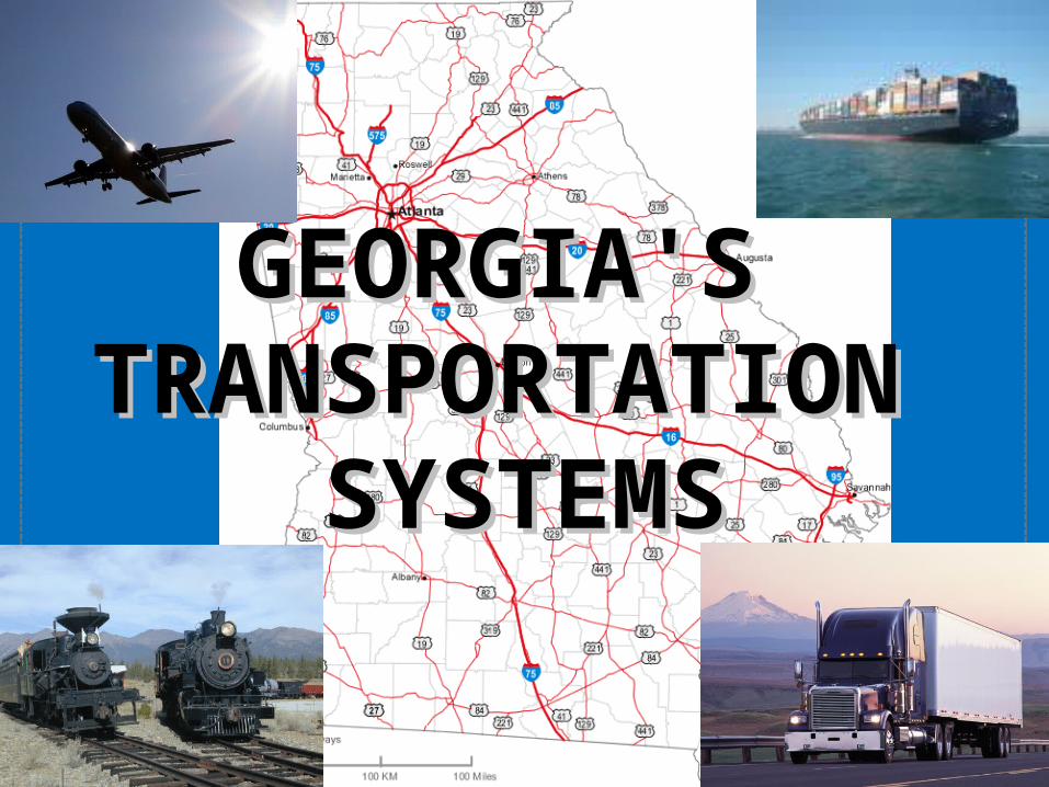
GEORGIA'S GEORGIA'S TRANSPORTATION TRANSPORTATION
SYSTEMSSYSTEMS
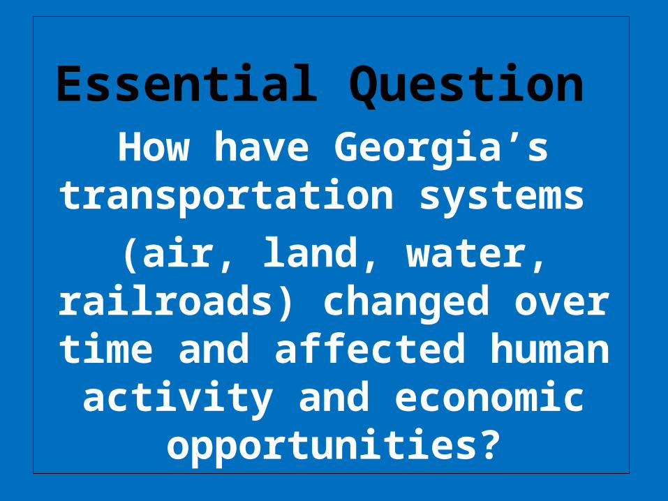
Essential Question How have Georgia’s
transportation systems (air, land, water,
railroads) changed over time and affected human
activity and economic opportunities?

WATER
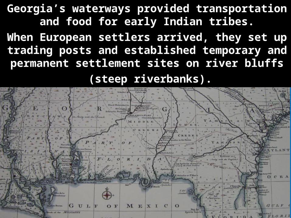
Georgia’s waterways provided transportation and food for early Indian tribes.
When European settlers arrived, they set up trading posts and established temporary and
permanent settlement sites on river bluffs (steep riverbanks).
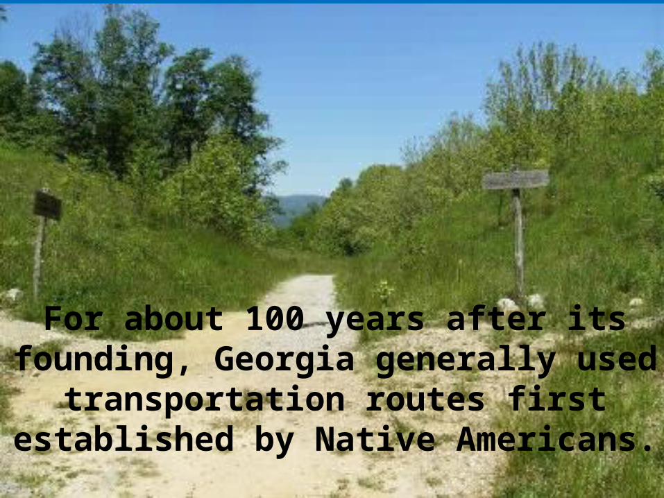
For about 100 years after its founding, Georgia generally used
transportation routes first established by Native Americans.
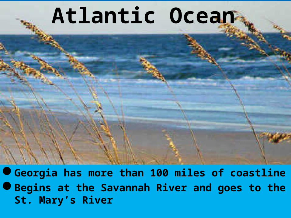
Georgia has more than 100 miles of coastlineBegins at the Savannah River and goes to the
St. Mary’s River
Atlantic Ocean

Savannah River
By the time Hernando de Soto reached the Savannah River in 1540, Indians had traveled the 314 mile long waterway for many years. They called it Isondega (means blue water)
Along the border of South Carolina, the river spreads into three lakes: Strom Thurmond Lake, Lake Russell, and Hartwell Lake
The Savannah River is the only river that flows into Georgia from outside its borders.
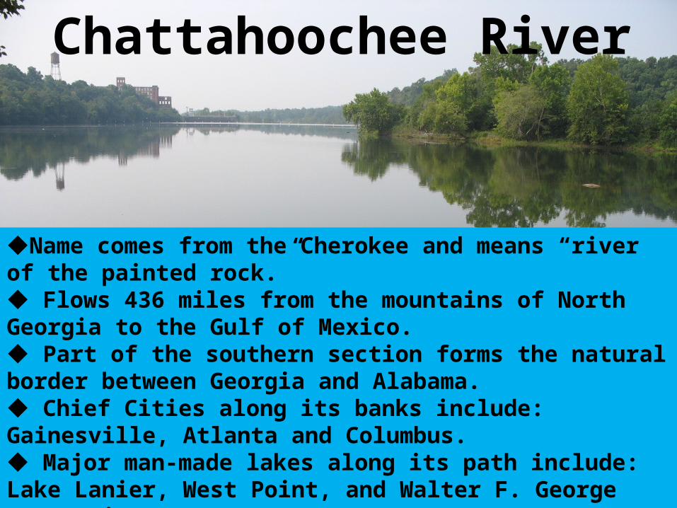
Chattahoochee River
Name comes from the Cherokee and means “river of the painted rock.” Flows 436 miles from the mountains of North Georgia to the Gulf of Mexico. Part of the southern section forms the natural border between Georgia and Alabama. Chief Cities along its banks include: Gainesville, Atlanta and Columbus. Major man-made lakes along its path include: Lake Lanier, West Point, and Walter F. George Reservoir
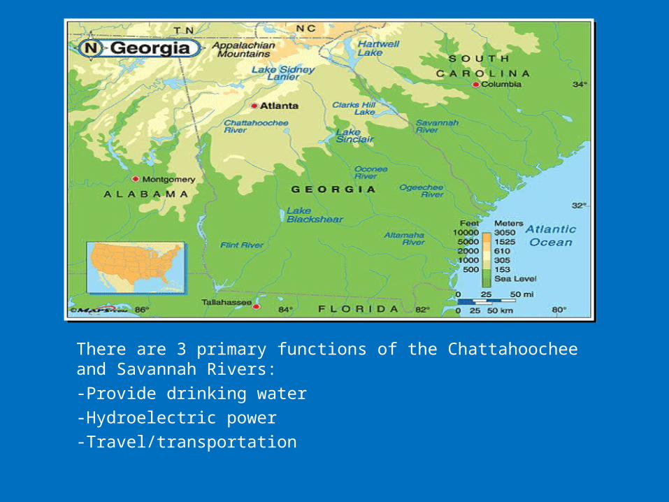
There are 3 primary functions of the Chattahoochee and Savannah Rivers:-Provide drinking water-Hydroelectric power-Travel/transportation

Georgia’s waterways serve as
important inland
“highways” for social,
political, and economic growth.
--recreation--water resources for towns
& cities--source of food

DEEPWATER PORTSSavannah & Brunswick

SAVANNAH PORT
One of the most important containerized ports in the United States. 5th largest container ports in the nation.
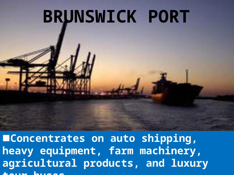
BRUNSWICK PORT
Concentrates on auto shipping, heavy equipment, farm machinery, agricultural products, and luxury tour buses.
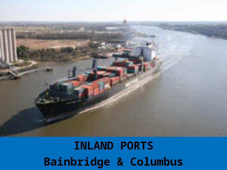
INLAND PORTSBainbridge & Columbus
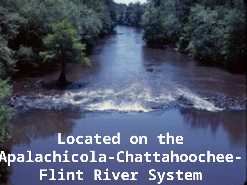
Located on the Apalachicola-Chattahoochee-Flint River
System
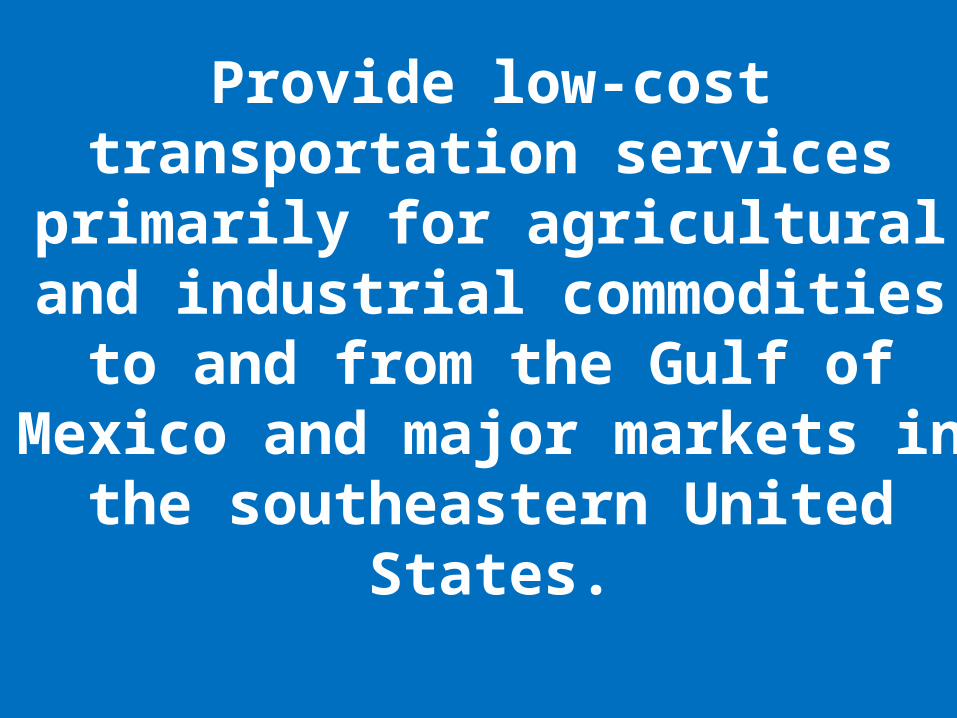
Provide low-cost transportation services
primarily for agricultural and industrial commodities
to and from the Gulf of Mexico and major markets in
the southeastern United States.
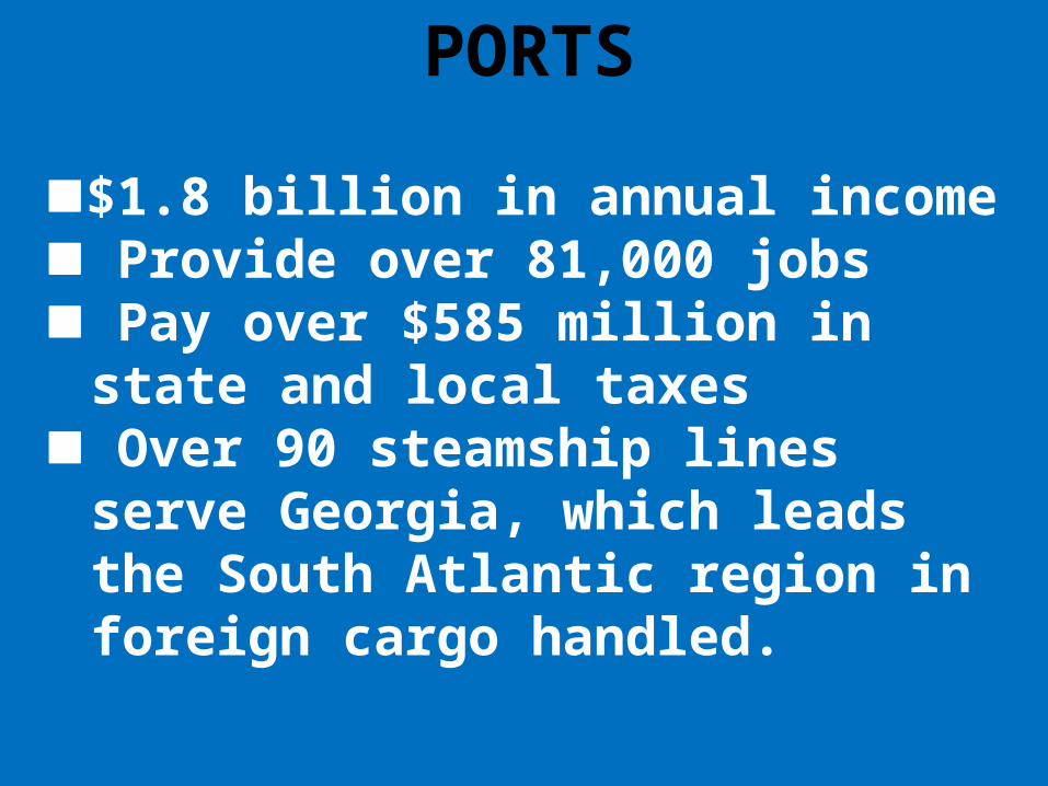
PORTS
$1.8 billion in annual income Provide over 81,000 jobs Pay over $585 million in state
and local taxes Over 90 steamship lines serve
Georgia, which leads the South Atlantic region in foreign cargo handled.

LAND
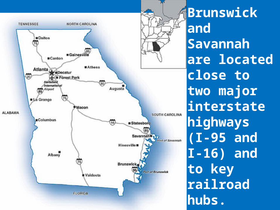
Brunswick and Savannah are located close to two major interstate highways (I-95 and I-16) and to key railroad hubs.

From Georgia, goods are two truckload days from 82 % of the United States industrial marketplace and 79 % of the nation’s largest consumer markets.
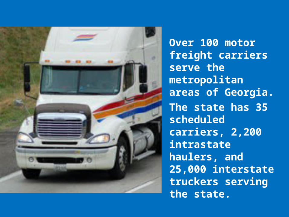
Over 100 motor freight carriers serve the metropolitan areas of Georgia.The state has 35 scheduled carriers, 2,200 intrastate haulers, and 25,000 interstate truckers serving the state.

RAILROADS
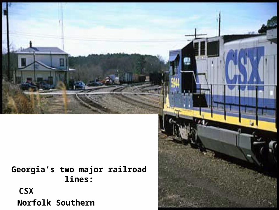
Georgia’s two major railroad lines:
CSX Norfolk Southern
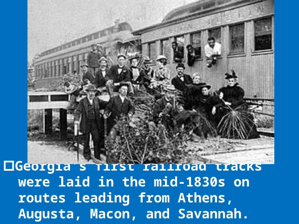
Georgia's first railroad tracks were laid in the mid-1830s on routes leading from Athens, Augusta, Macon, and Savannah.
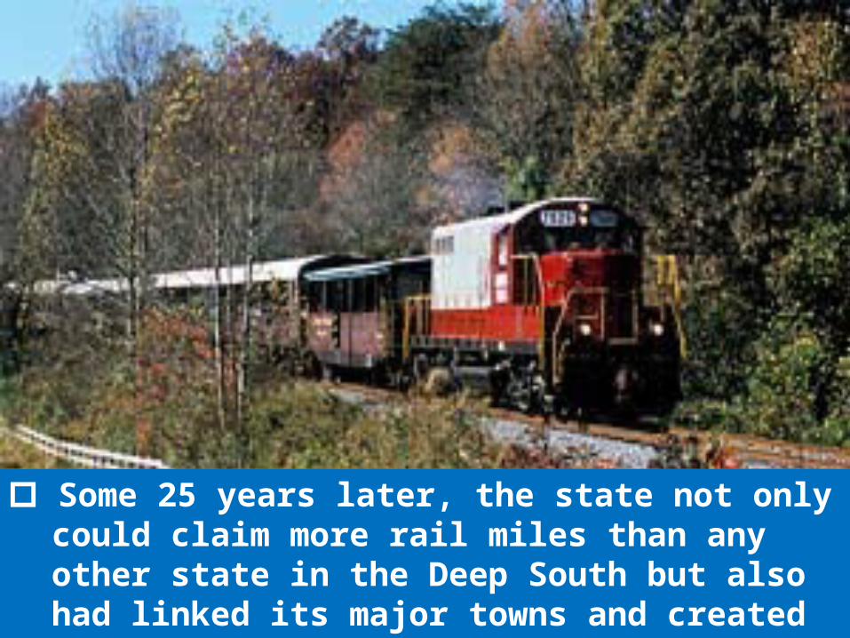
Some 25 years later, the state not only could claim more rail miles than any other state in the Deep South but also had linked its major towns and created a new rail center, Atlanta.
Some 25 years later, the state not only could claim more rail miles than any other state in the Deep South but also had linked its major towns and created a new rail center, Atlanta.
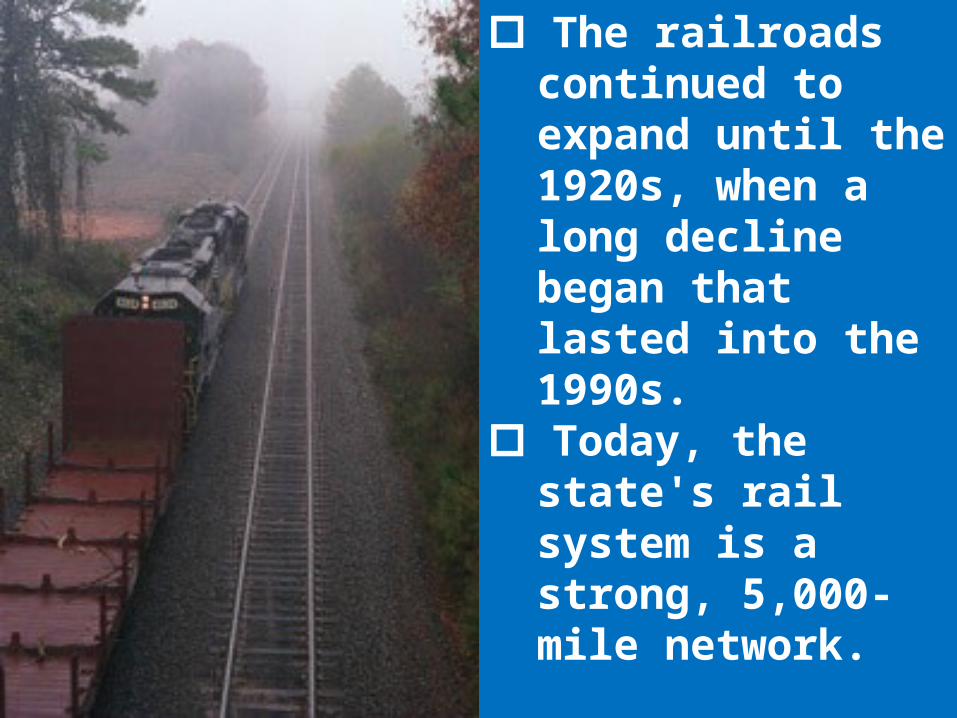
The railroads continued to expand until the 1920s, when a long decline began that lasted into the 1990s.
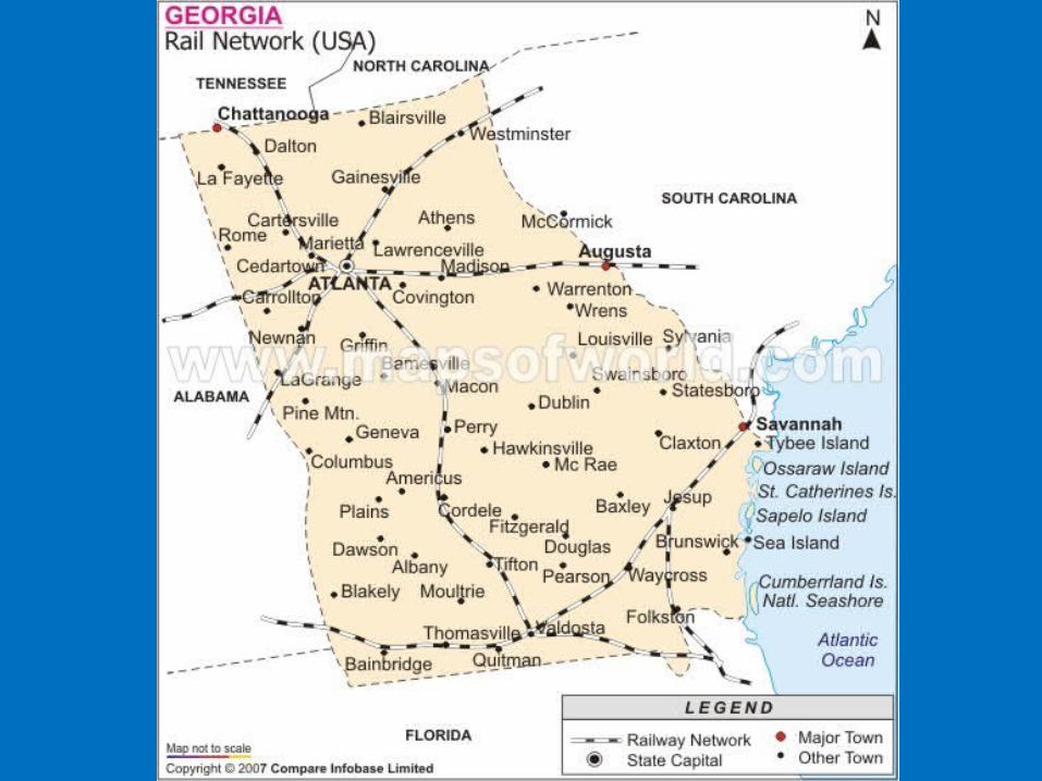
Today, the state's rail system is a strong, 5,000-mile network.
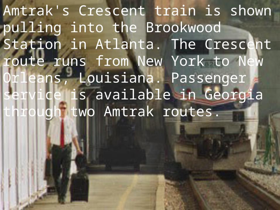
Amtrak's Crescent train is shown pulling into the Brookwood Station in Atlanta. The Crescent route runs from New York to New Orleans, Louisiana. Passenger service is available in Georgia through two Amtrak routes.
AIR
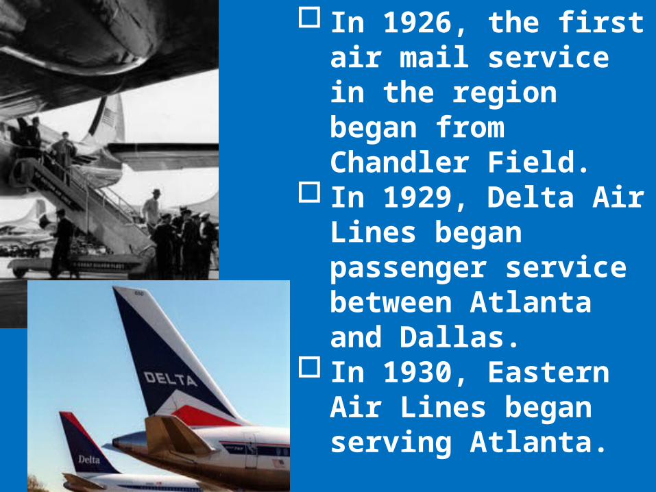
In 1926, the first air mail service in the region began from Chandler Field.
In 1929, Delta Air Lines began passenger service between Atlanta and Dallas.
In 1930, Eastern Air Lines began serving Atlanta.
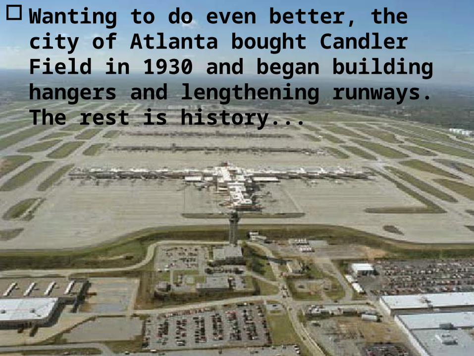
Wanting to do even better, the city of Atlanta bought Candler Field in 1930 and began building hangers and lengthening runways. The rest is history...

Hartsfield-Jackson Atlanta International Airport
Hartsfield-Jackson Atlanta International Airport, named for former Atlanta mayors William B. Hartsfield and Maynard Jackson, has a main terminal, six concourses, and nearly 200 gates.

Hartsfield-Jackson Atlanta International Airport
one of the busiest passenger airports in the world.
In an average weekday afternoon, 500 aircraft may be in the air flying toward Hartsfield-Jackson, and an equal number may be in the air after departing it.
In an average month, about 80,000 flights and more than 7 million passengers pass through the airport on flights scheduled with 21 airlines.
At the same time, the airport will handle about 53,700 metric tons of cargo and more than 60,000 metric tons of mail on airliners and cargo aircraft operated by 20 companies.


![Living the Dream - Georgia's Own Credit Union · 2015-01-30 · DOYOUIX.COM JULY/AUGUST/SEPTEMBER 20121 JULY // AUGUST // SEPTEMBER 2012 Ne[x]t Magazine is published by Georgia’s](https://static.documents.pub/doc/80x56/5f1cb4e73001ce09fa63efef/living-the-dream-georgias-own-credit-union-2015-01-30-doyouixcom-julyaugustseptember.jpg)


