Page 1
GIS Poster Info
• You will print and mount your poster in the GIS lab, Tisch Library Map Room – posters must be plotted by 5pm, May 7th
• Try to get it finished and printed earlier!
• A lab assistant must send the plot - Lab assistant schedule – http://gis.tufts.edu
• Upload you poster and paper to Student Work Zone by May 7 midnight
Page 2
GIS Poster Info
• Posters should be 30x40 (either orientation is fine)
• You will mount your poster on poster board we will provide
• We will also provide glue, etc.
Page 3
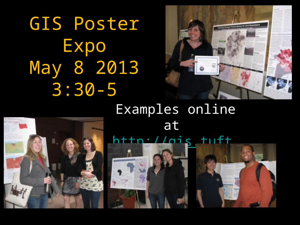
GIS Poster ExpoMay 8 2013
3:30-5
Examples online at http://gis.tufts.edu
Page 4
Original presentation by Melanie St. James
Senior Interactive Media Designer
UIT - Academic Technology
Modifications by Barbara Parmenter, 3/4/2011
Information Design Matters!
Page 5
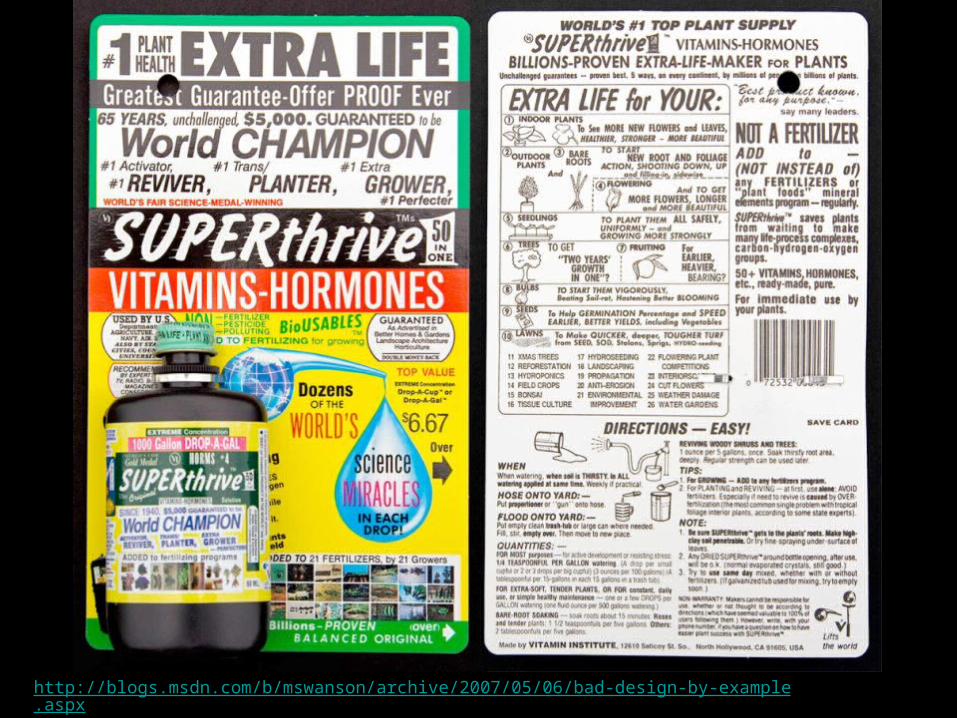
http://blogs.msdn.com/b/mswanson/archive/2007/05/06/bad-design-by-example.aspx
Page 6
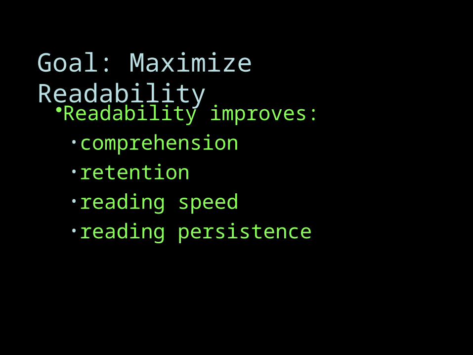
•Readability improves:•comprehension•retention•reading speed•reading persistence
Goal: Maximize Readability
Page 7
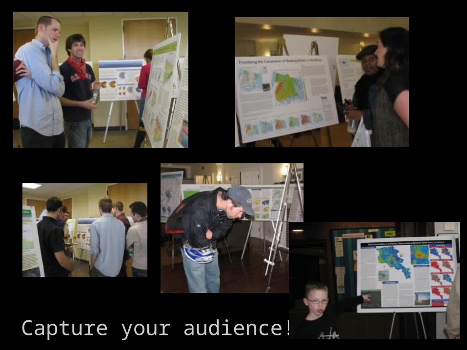
Capture your audience!
Page 9
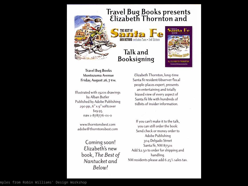
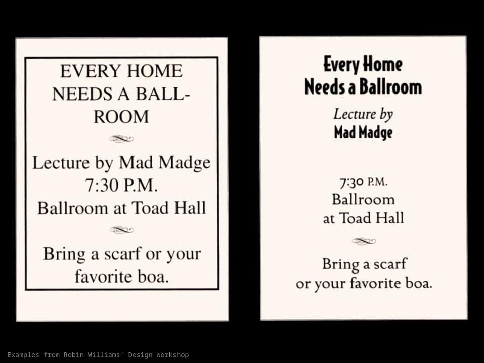
Examples from Robin Williams’ Design Workshop
Page 10
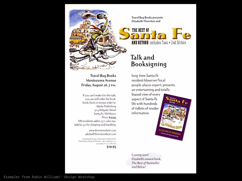
Examples from Robin Williams’ Design Workshop
Page 11
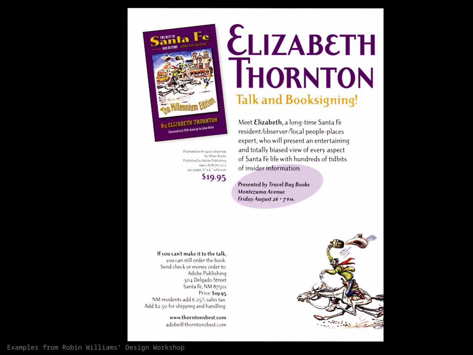
Examples from Robin Williams’ Design Workshop
Page 12
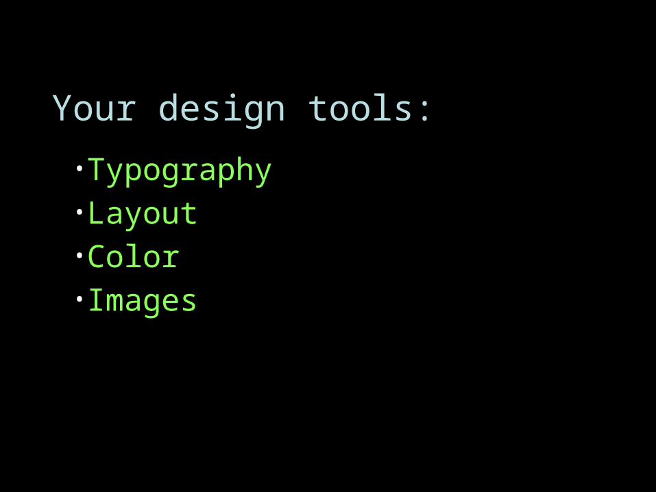
Your design tools:
•Typography•Layout•Color•Images
Page 13
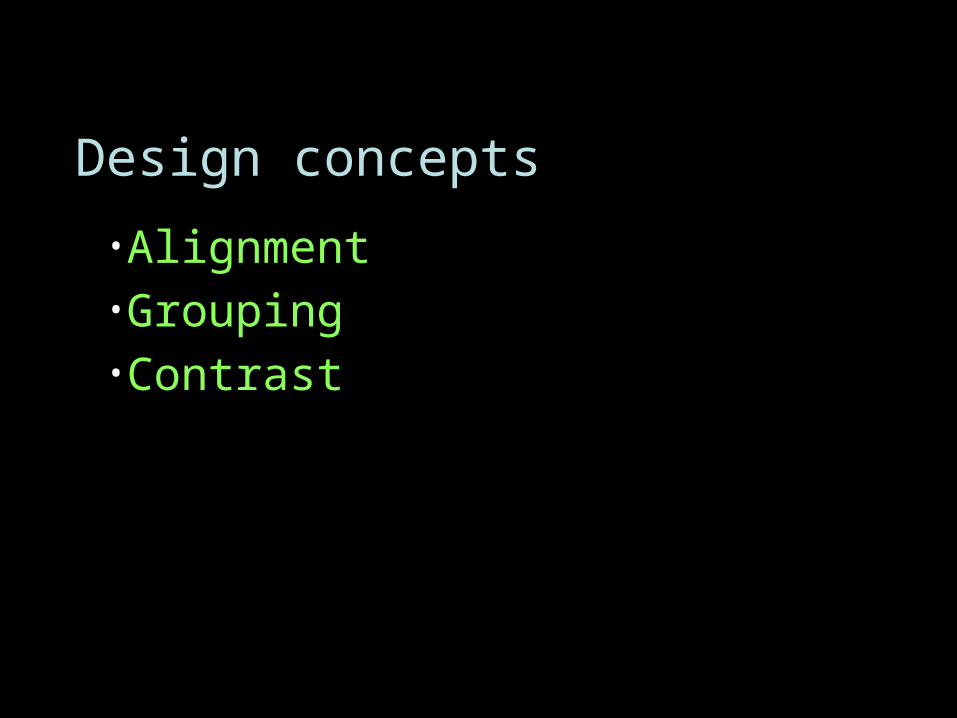
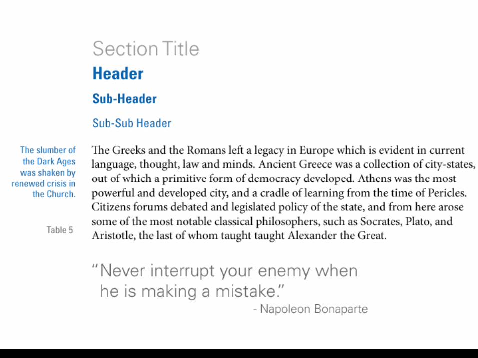
Design concepts
•Alignment•Grouping•Contrast
Page 14
Examples from Robin Williams’ Design Workshop
Page 17
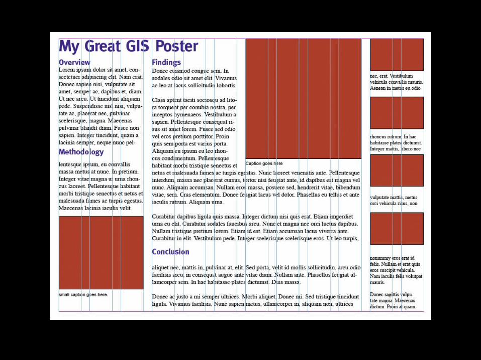
My GIS Poster
A quick design workshop
Page 18
My GIS PosterA quick design workshop
Page 19
My GIS PosterA quick design workshop
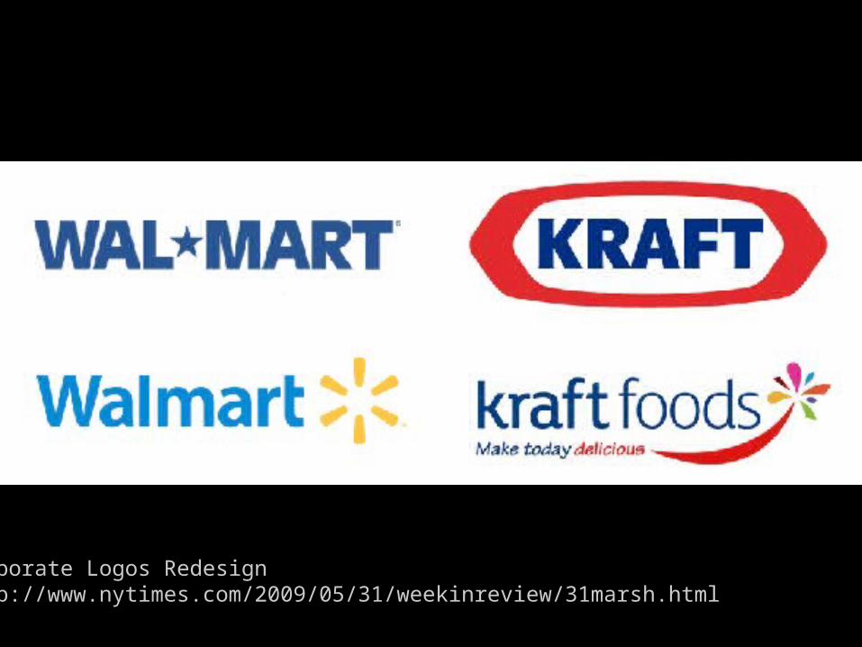
Corporate Logos Redesignhttp://www.nytimes.com/2009/05/31/weekinreview/31marsh.html
Page 20
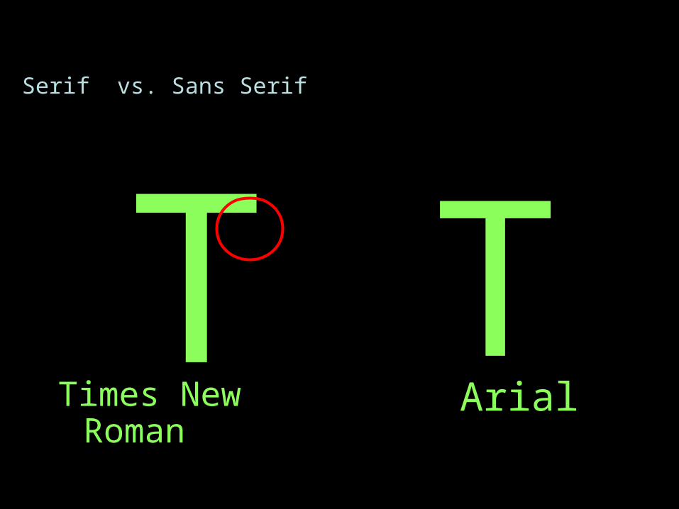
Times New Roman ArialT T
Serif vs. Sans Serif
Page 21
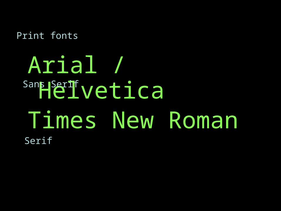
Arial / Helvetica
Print fonts
Times New Roman
Sans Serif
Serif
Page 22
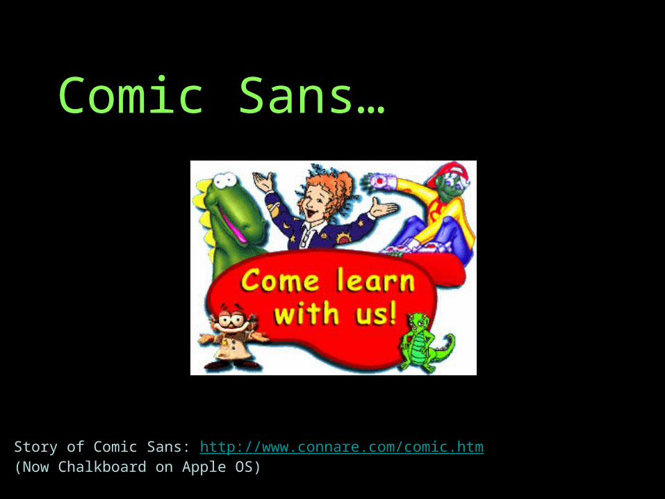
Comic Sans…
Story of Comic Sans: http://www.connare.com/comic.htm(Now Chalkboard on Apple OS)
Page 23
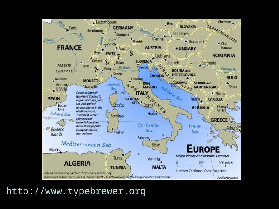
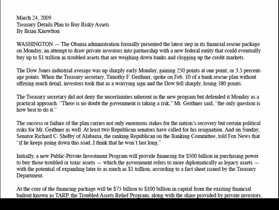
http://www.typebrewer.org
Page 24
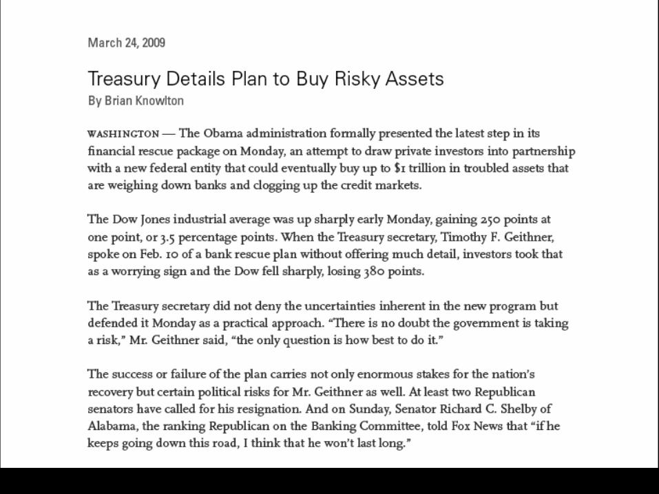
http://www.typebrewer.org
Page 29
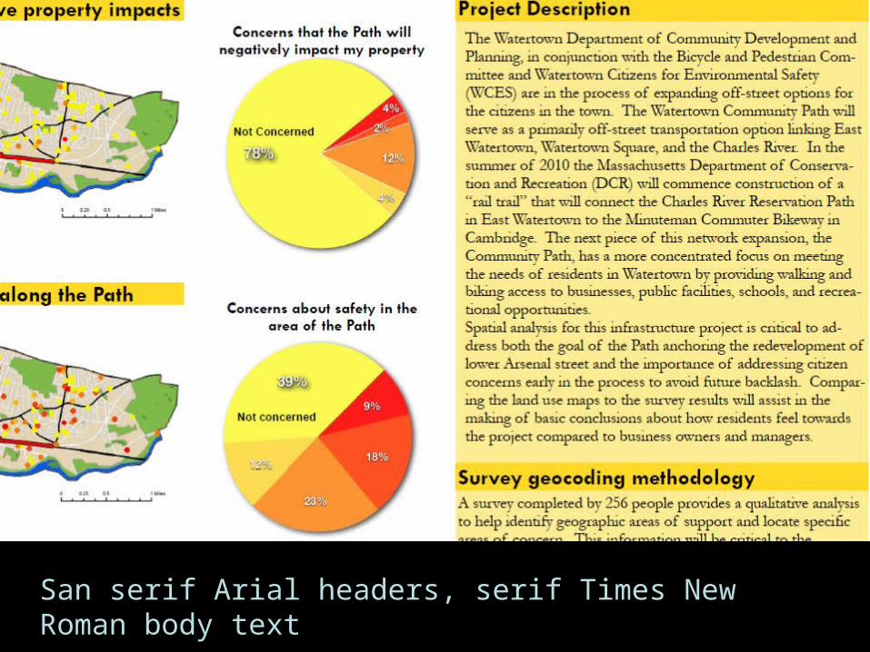
San serif Arial headers, serif Times New Roman body text
Page 30
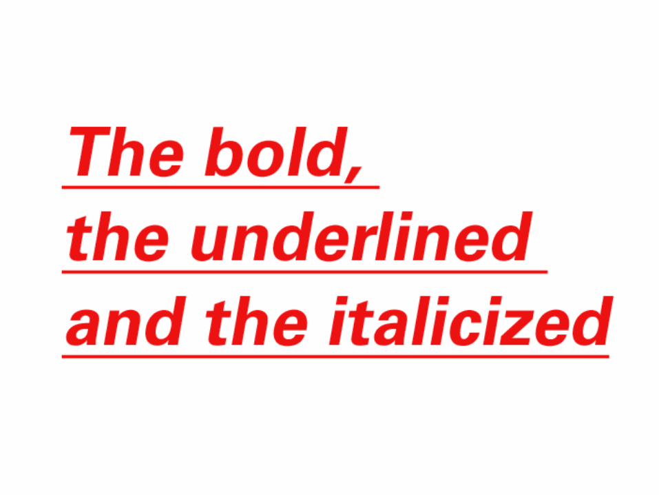
The bold, the underlined and the italicized
Page 31
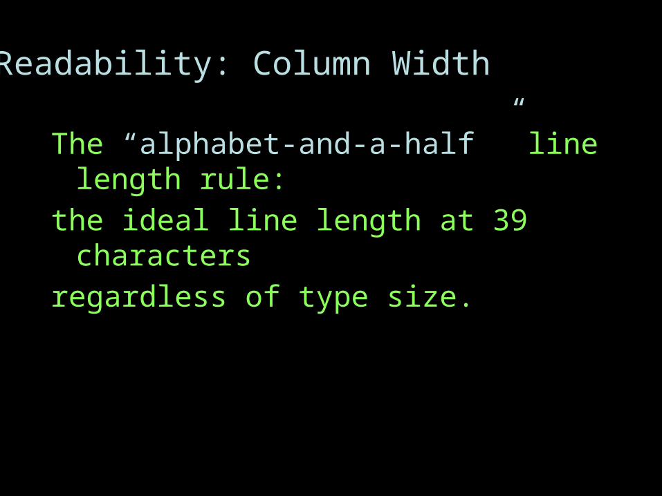
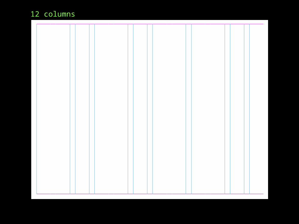
Readability: Column Width
The “alphabet-and-a-half ” line length rule:
the ideal line length at 39 characters
regardless of type size.
Page 34
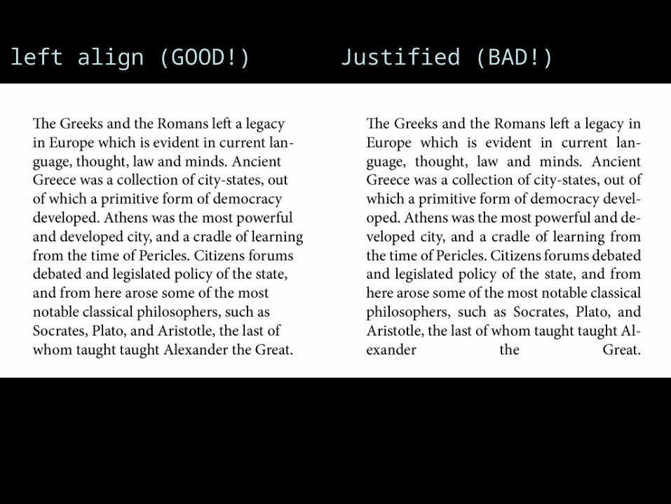
left align (GOOD!) Justified (BAD!)
Page 36
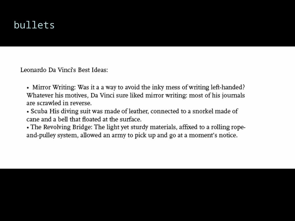
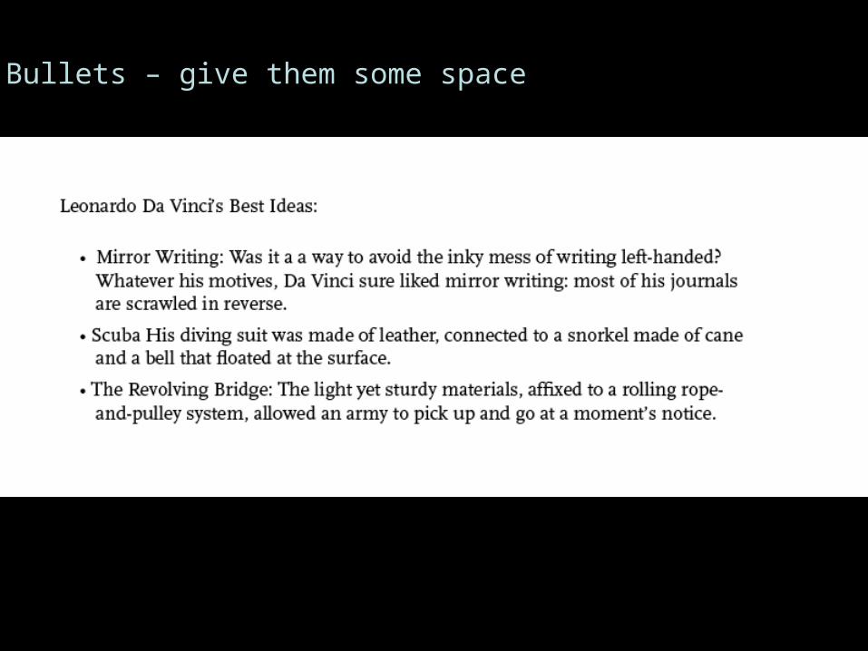
Bullets – give them some space
Page 38
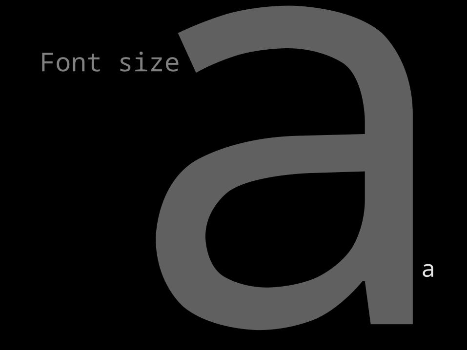
Font Size Sheet
On GIS Poster Design web site
Page 39
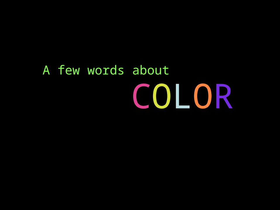
A few words about
COLOR
Page 40
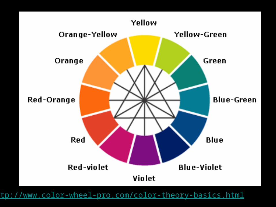
http://www.color-wheel-pro.com/color-theory-basics.html
Page 41
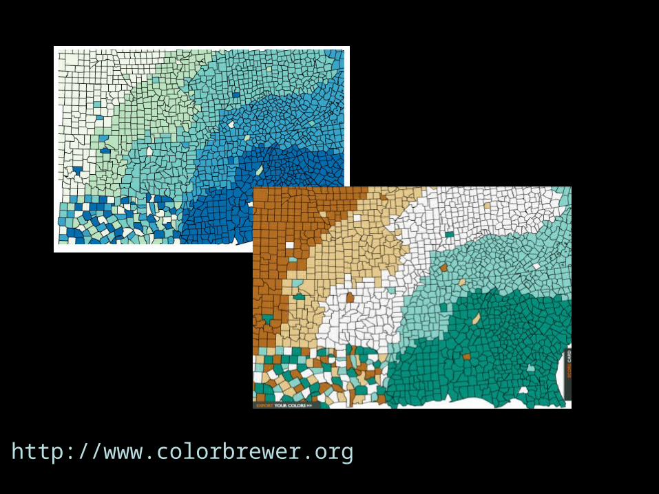
http://www.colorbrewer.org
Page 44
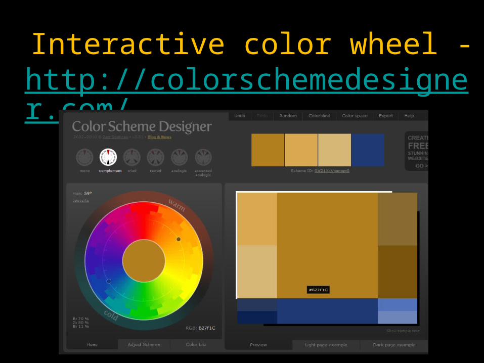
Interactive color wheel - http://colorschemedesigner.com/
Page 45
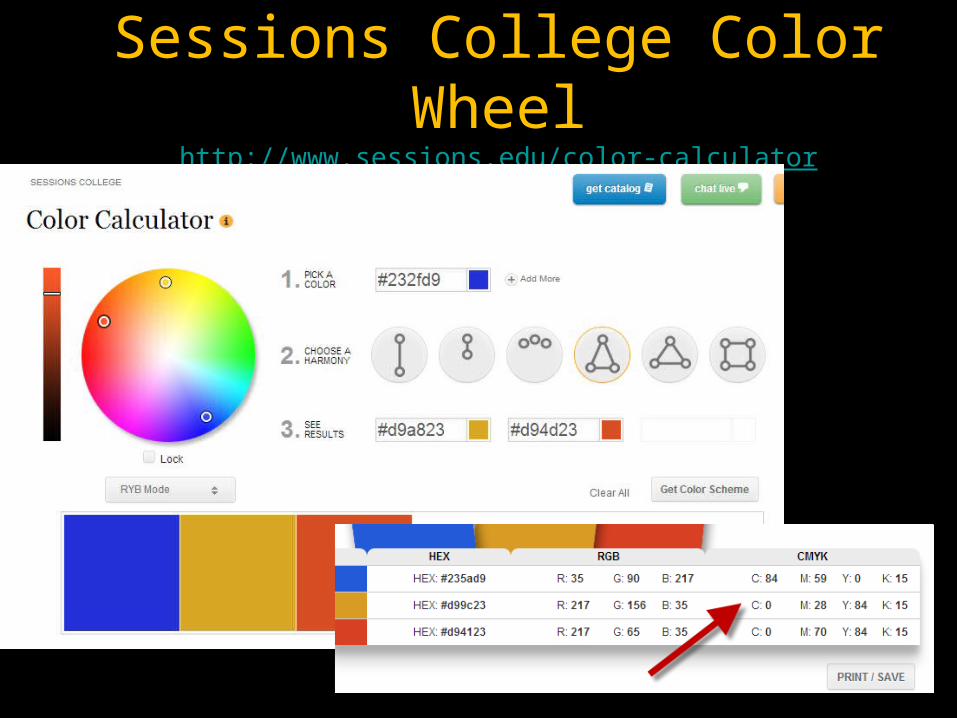
Sessions College Color Wheelhttp://www.sessions.edu/color-calculator
Page 46
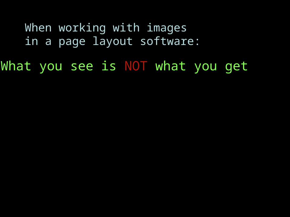
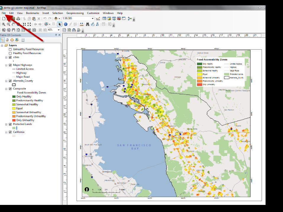
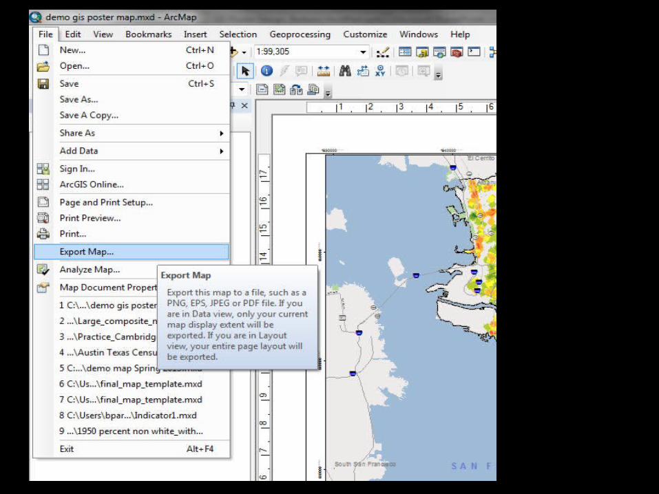
When working with images in a page layout software:
What you see is NOT what you get
Page 47
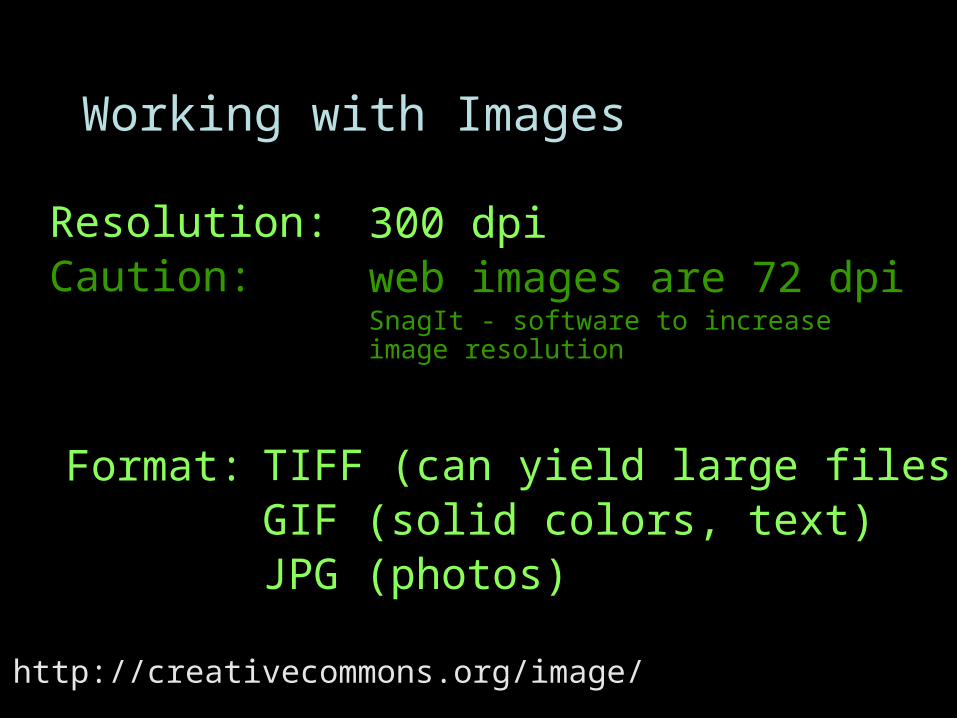
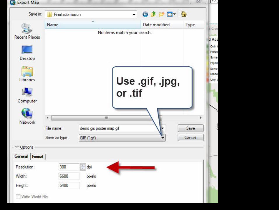
Resolution:Caution:
Format:
Working with Images
300 dpiweb images are 72 dpiSnagIt - software to increase image resolution
TIFF (can yield large files) GIF (solid colors, text) JPG (photos)
http://creativecommons.org/image/
Page 48
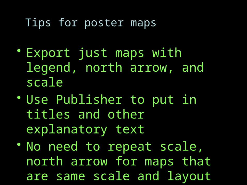
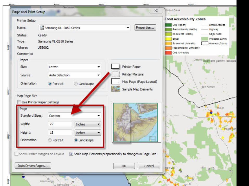
Tips for poster maps
• Export just maps with legend, north arrow, and scale
• Use Publisher to put in titles and other explanatory text
• No need to repeat scale, north arrow for maps that are same scale and layout
Page 50
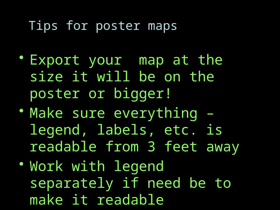
Tips for poster maps
• Export your map at the size it will be on the poster or bigger!
• Make sure everything – legend, labels, etc. is readable from 3 feet away
• Work with legend separately if need be to make it readable
Page 56
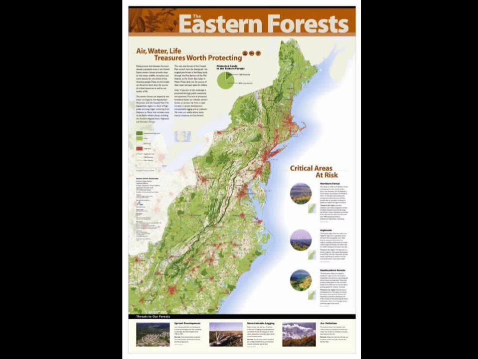
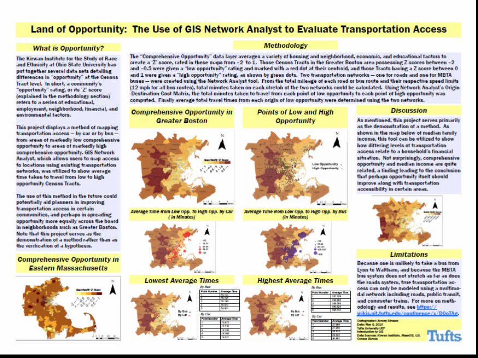
Types of GIS posters
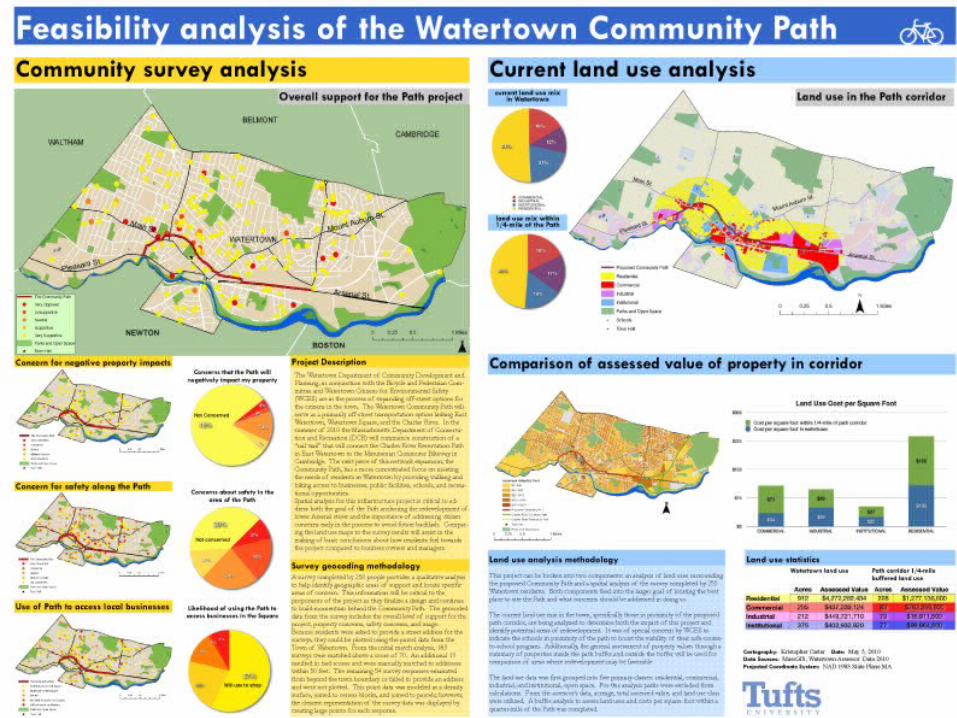
• Technique / Method Demonstration• Advocacy • Academic Science Conference • Data Collection and Design
Page 63
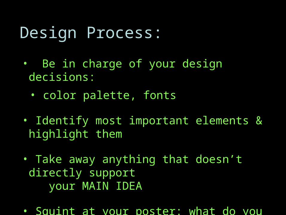
Design Process:
• Be in charge of your design decisions:
• color palette, fonts
• Identify most important elements & highlight them
• Take away anything that doesn’t directly support your MAIN IDEA
• Squint at your poster: what do you see?
Page 64
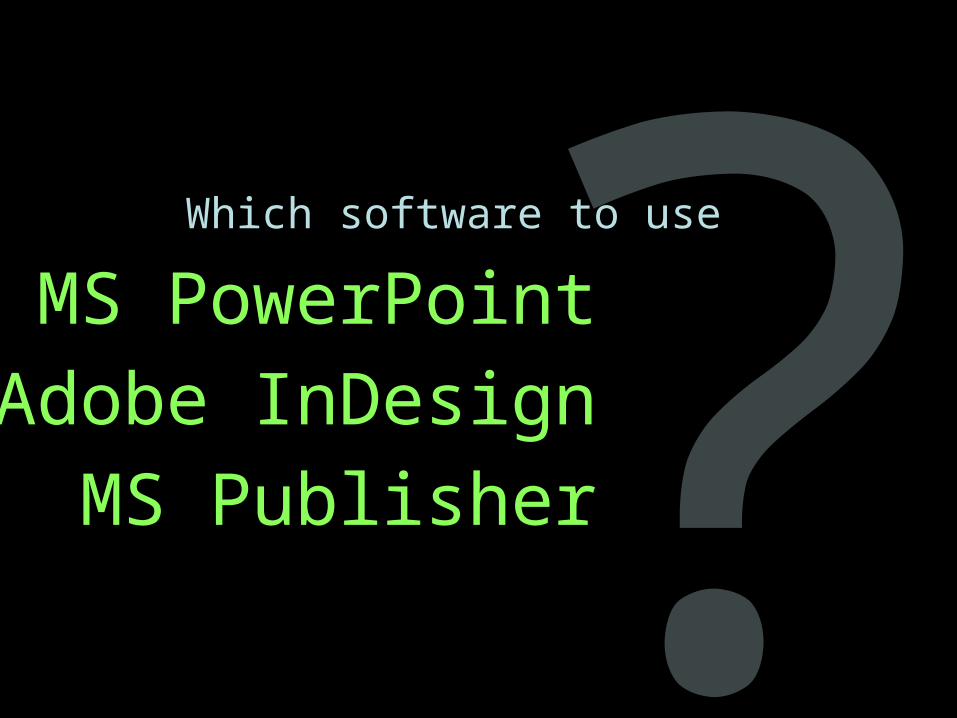
?Which software to use
MS PowerPoint
Adobe InDesign
MS Publisher
Page 67
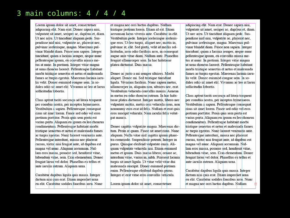
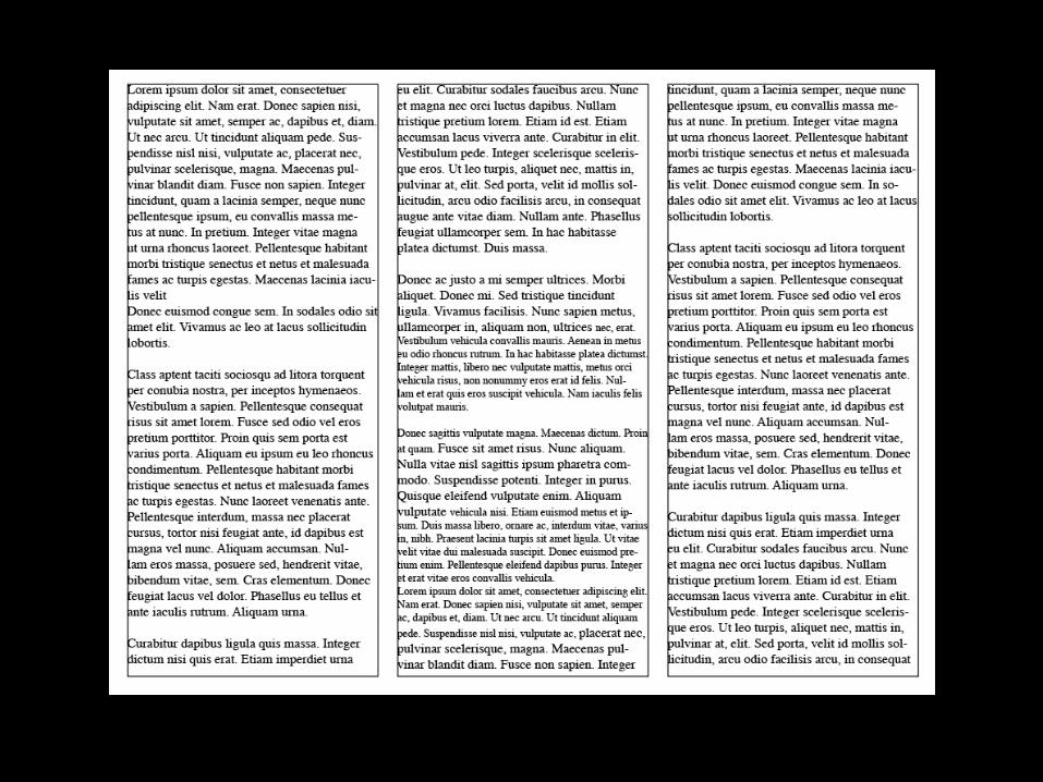
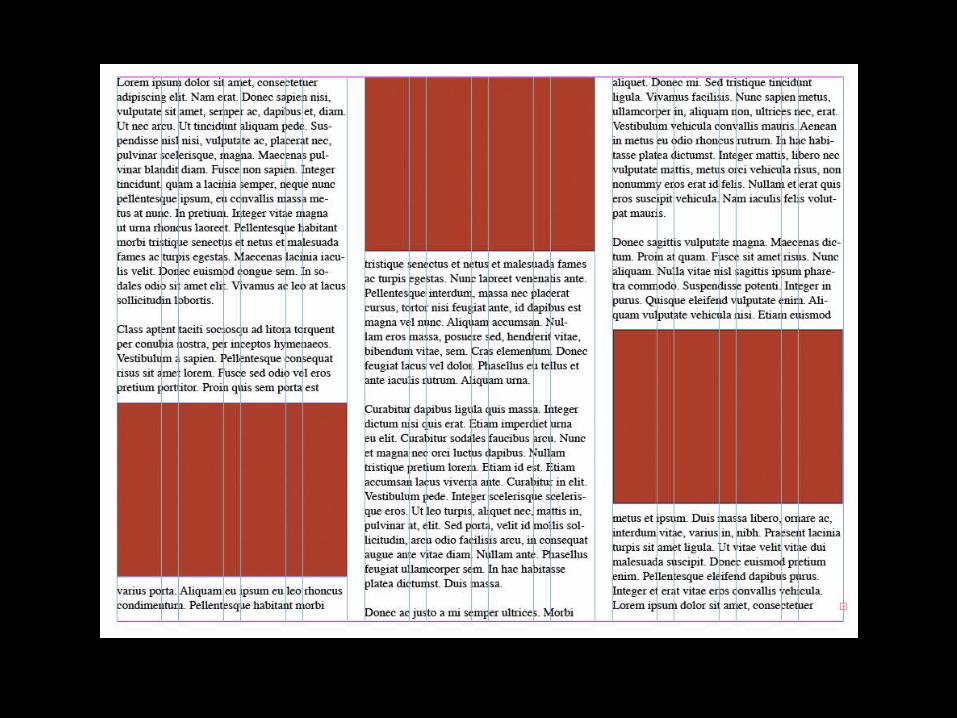
3 main columns: 4 / 4 / 4