1
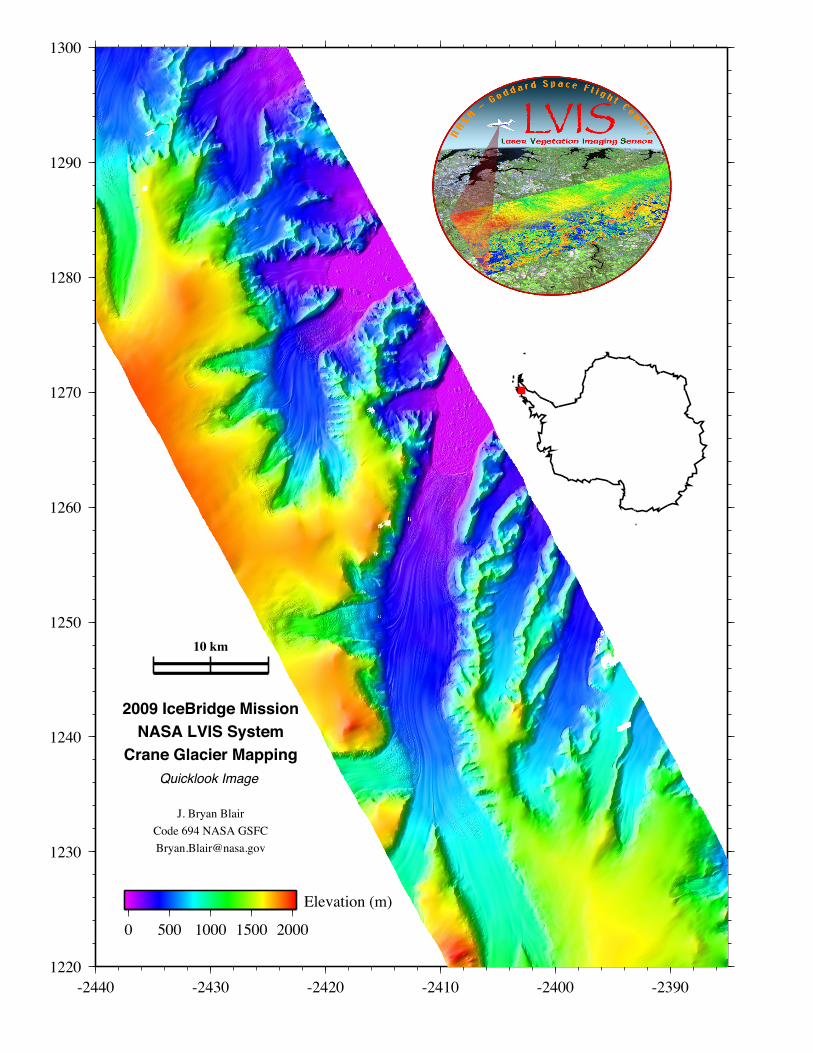
1220 1230 1240 1250 1260 1270 1280 1290 1300 -2440 -2430 -2420 -2410 -2400 -2390 2009 IceBridge Mission NASA LVIS System Crane Glacier Mapping Quicklook Image J. Bryan Blair Code 694 NASA GSFC [email protected] 10 km 0 500 1000 1500 2000 Elevation (m)