Impacts of beetle-kill and wildland fire on regional water and energy cycles, and climate in western North America Sponsors: NOAA Climate Prediction Program for the Americas (CPPA) and NCAR BEACHON Fei Chen, Michael Barlage, Christine Wiedinmyer, Ying Zhang, NCAR Jeffrey Hicke and Arjan Meddens, University of Idaho Mountain Pine Beetle Science Symposium, NCAR, Boulder, CO. 8 April 2010
Transcript
Impacts of beetle-kill and wildland fire on regional water and energy cycles, and climate in western North America
Sponsors: NOAA Climate Prediction Program for the Americas (CPPA) and NCAR BEACHON
Fei Chen, Michael Barlage, Christine Wiedinmyer, Ying Zhang, NCAR
Jeffrey Hicke and Arjan Meddens, University of Idaho
Mountain Pine Beetle Science Symposium, NCAR, Boulder, CO. 8 April 2010
Continental-scale Forest Natural Disturbances
Regions of identi,ied beetle infestation from aerial surveys from 19972005 (in red in the left panel) and burned area perimeters reported to the USGS from 20012007 (in gray in the right panel) for the western U.S
Forest burned area
2
Beetle infestation
Warmer winter and drought
Effects of beetle-kill • Increase surface heterogeneity/diversity • Reduction of LAI, interception, carbon fluxes,
transpiration by 50% 3 weeks after infestation • Increase soil moisture and temperature • Increase snow depth • Carbon and Nitrogen cycles decoupling two
years after infestation • Higher nitrate in stream water (Fraser
watersheds)
3
Insect outbreaks
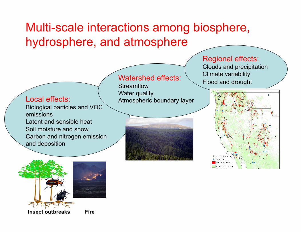
Multi-scale interactions among biosphere, hydrosphere, and atmosphere
Fire
Local effects: Biological particles and VOC emissions Latent and sensible heat Soil moisture and snow Carbon and nitrogen emission and deposition
Watershed effects: Streamflow Water quality Atmospheric boundary layer
Regional effects: Clouds and precipitation Climate variability Flood and drought
Our approach Focus on biogeophysical effects
• Local and watershed scale: produce 10-year (2000-2010) reanalysis – using 1-km uncoupled High Resolution
Land Data Assimilation system (HRLDAS) based on the Noah land surface model (LSM).
– Examine surface fluxes, soil moisture, snow, runoff with reanalysis with and without disturbed forests
• Regional-continental scale: conduct high-resolution WRF/Noah LSM regional climate simulations for selected summer and winter months – Analyze precipitation and interannual
climate variability 5
MPB reduce snow ablation and increase ground snow
accumulation
Example for Northern British Columbia 2005-2006 data
6
Boon, 2007, BC Journal of Ecosystems and Management.
Burned area enhance precipitin and result in 1996 flash flood in Buffalo Creek watershed, CO
MM5 4-h (1700-2100 MST) rainfall with burned area
mm
MM5 4-h (1700-2100 MST) rainfall without burned area
Burned area simulation produced 2-3 times more rain in the Buffalo Creek Watershed
S-Pol Radar Analysis
Chen et al., 2001, J. Atmos. Sci.
Burned area
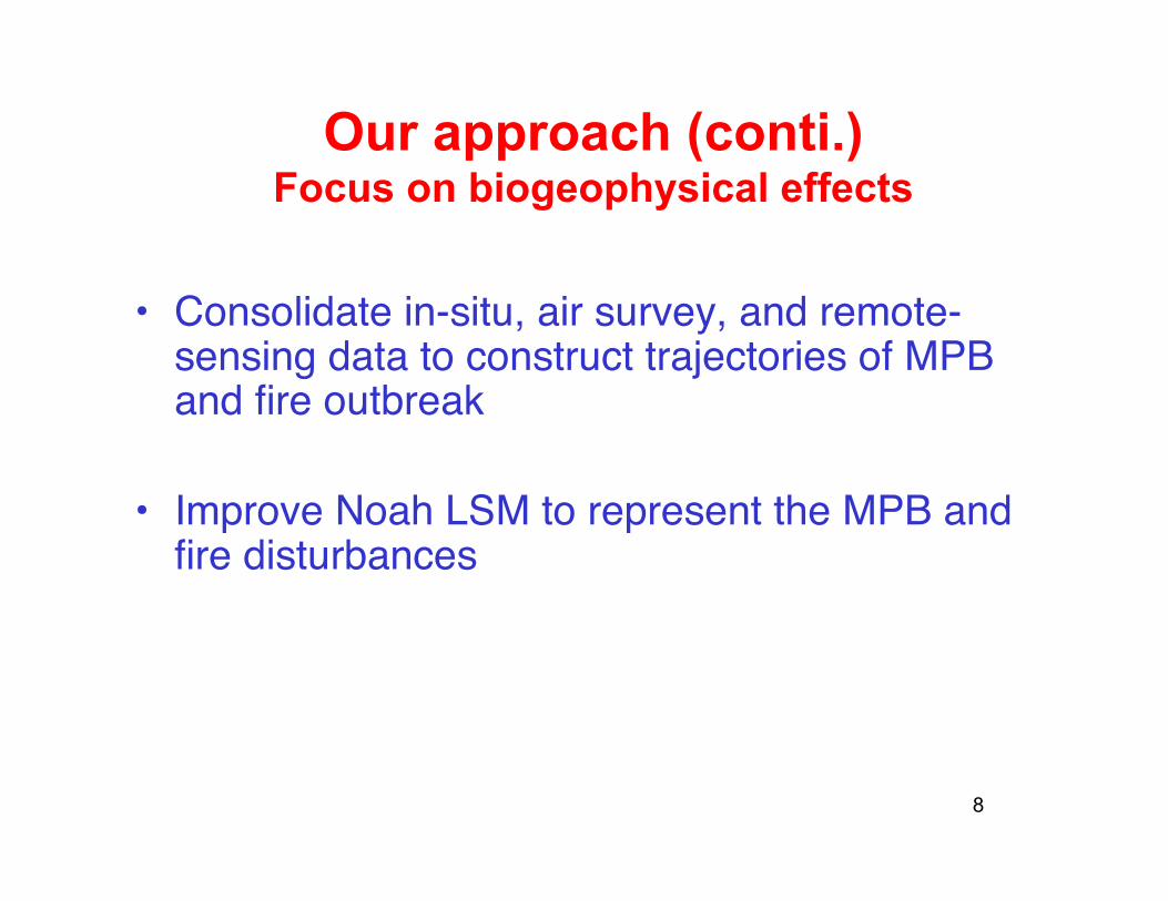
Our approach (conti.) Focus on biogeophysical effects
• Consolidate in-situ, air survey, and remote-sensing data to construct trajectories of MPB and fire outbreak
• Improve Noah LSM to represent the MPB and fire disturbances