20
InaSAFE and Crowdsourcing for DRR in Indonesia Tyler Radford, Humanitarian OpenStreetMap Team @TylerSRadford

InaSAFE and Crowdsourcing for DRR in Indonesia
Tyler Radford, Humanitarian OpenStreetMap Team
@TylerSRadford

InaSAFE: What’s the likely impact of a future disaster event?


Exposure data a key ingredient
Often most vulnerable = least data
Photo: PetaBencana/MIT

What if crowdsourcing could be used to map exposure?

2011-2017
Recruit 8 trainers
128 trainings
17 provinces
3,042 participants
6,361,386 buildings mapped

1. Import existing
open datasets
2. Remote mapping
through digitizing
aerial imagery
3. Detailed attribute
information
collection on the
ground

Training….then Doing

Free, open source tools to coordinate volunteers

Mobile data collection with OpenMapKit

Custom forms standardize data collected

Mapping sub-sub village boundaries; evacuation routes

Jakarta.Yogyakarta.Padang.Medan.Riau.Makassar.
Kupang.Surabaya.Madura.Maumere.Purwokerto. Malang
University Partnerships: More data contributors, better data

HOT Activities -> Exponential Growth of OSM Data
in Indonesia (4M+ Buildings)
Exponential growth of exposure data:
From near 0 to 6,361,386 buildings

Buildings mapped in Semarang, Indonesia: Before/After

GeoSAFE
New real-time tools with analysis-ready data for online
analysis

PetaBencana: Real-time flood info using social media
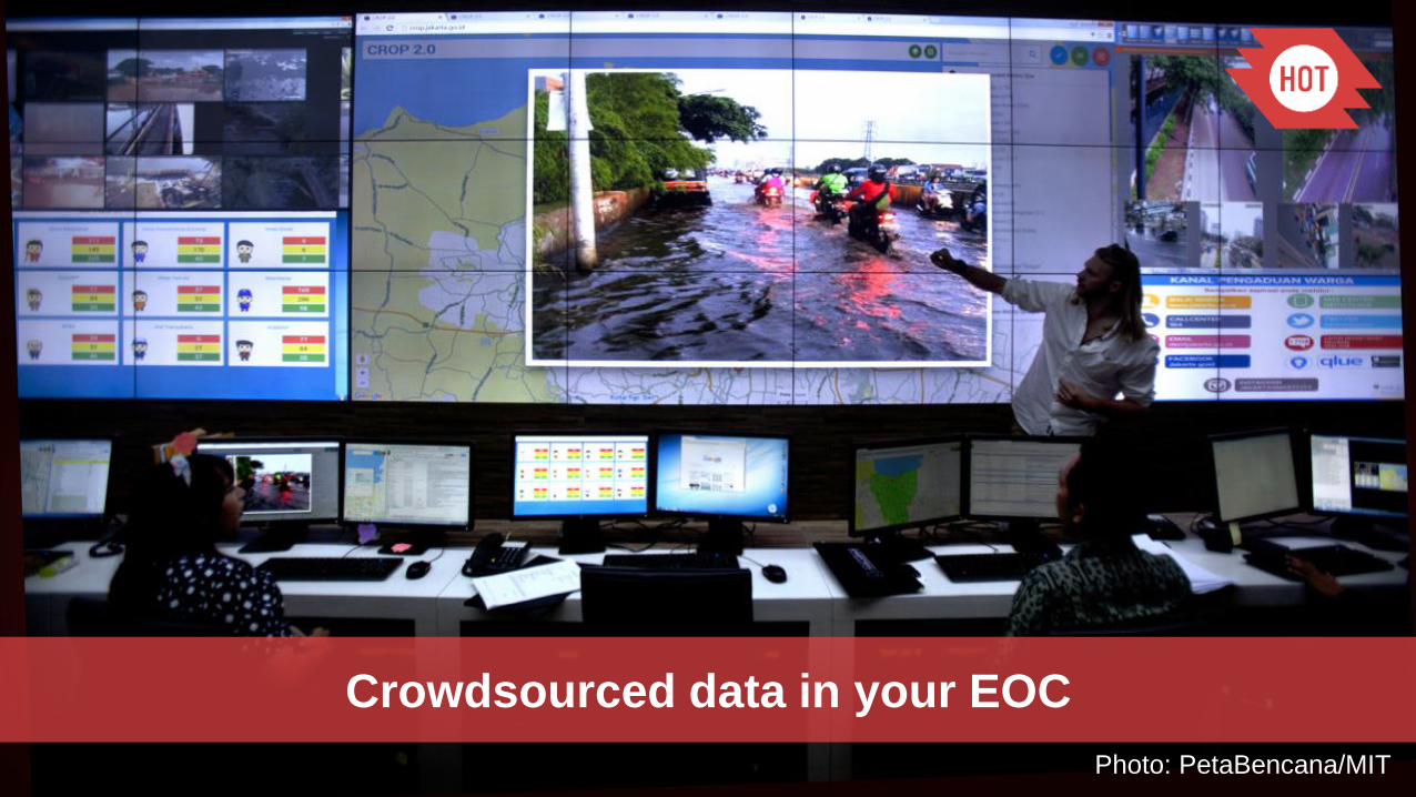
Crowdsourced data in your EOC
Photo: PetaBencana/MIT

Tools to make this happen in your country


