23
INDIA: SIZE AND LOCATION ARJUN.P CLASS :9C SCHOOL :KENDRIYA VIDYALAYA SAP CHAPTER-1 Email ID : [email protected] 9
| Date post: | 12-Apr-2017 |
| Category: |
Education |
| Upload: | arjunpratheep |
| View: | 124 times |
| Download: | 6 times |

INDIA: SIZE AND LOCATION
ARJUN.PCLASS :9C SCHOOL :KENDRIYA VIDYALAYA SAP
CHAPTER-1
Email ID : [email protected]
9

INDIA: SIZE AND LOCATION India is one of the ancient civilisations in theworld. It has achieved multi faceted
socioeconomicprogress during the last five decades.
It has moved forward displayingremarkable progress in the field ofagriculture, industry, technology and overalleconomic development. India has alsocontributed significantly.

TOPICS IN THIS CHAPTER• India's Location
• Its Size
• India and the World
• Its neighbours

LOCATION
• Lies entirely in Northern hemisphere between latitudes 8°4' N and 37°6' N and longitudes 68°7' E and 97°25' E.
• Divided by Tropic of cancer (23°30' N) in almost two equal parts.
• In Southeast, Andaman and Nicobar islands lie in Bay of Bengal.
• In Southwest,Lakshadweep islands lie in Arabian Sea.

INDIA IN THE WORLD

• Total Area of India is 3.28 million square km which is 2.4 percent of the total area of the world.
• It is seventh largest country in the world in terms of landmass.
• It has land boundary about 15,200 km and the total length of the coast line of the mainlandincluding Andaman and Nicobar and Lakshadweep islands is 7,516.6 km.
• In the northwest, north and north east of India, young folds mountains bounds it.
• South of about 22° north latitude, India narrows and finally extends towards the Indian Ocean. It also divides it into two seas, the Arabian Sea on the west and the Bay of Bengal on its east.

EXTENT AND STANDARD MERIDIAN

LATITUDINAL AND LONGITUDINAL EXTENT
The latitudinal and longitudinal extent of the mainland is about 30°.
India’s east-west extent appears to be smaller than the north-south extent.
The time along the Standard Meridian (82°30' E) passing through Mirzapur in UP is taken as the Indian Standard Time for whole country.
The time gap between Arunachal Pradesh present in the east and Gujarat present in the west is about 2 hours. The latitudinal extent influences the duration of day and night, as one moves from south to north.
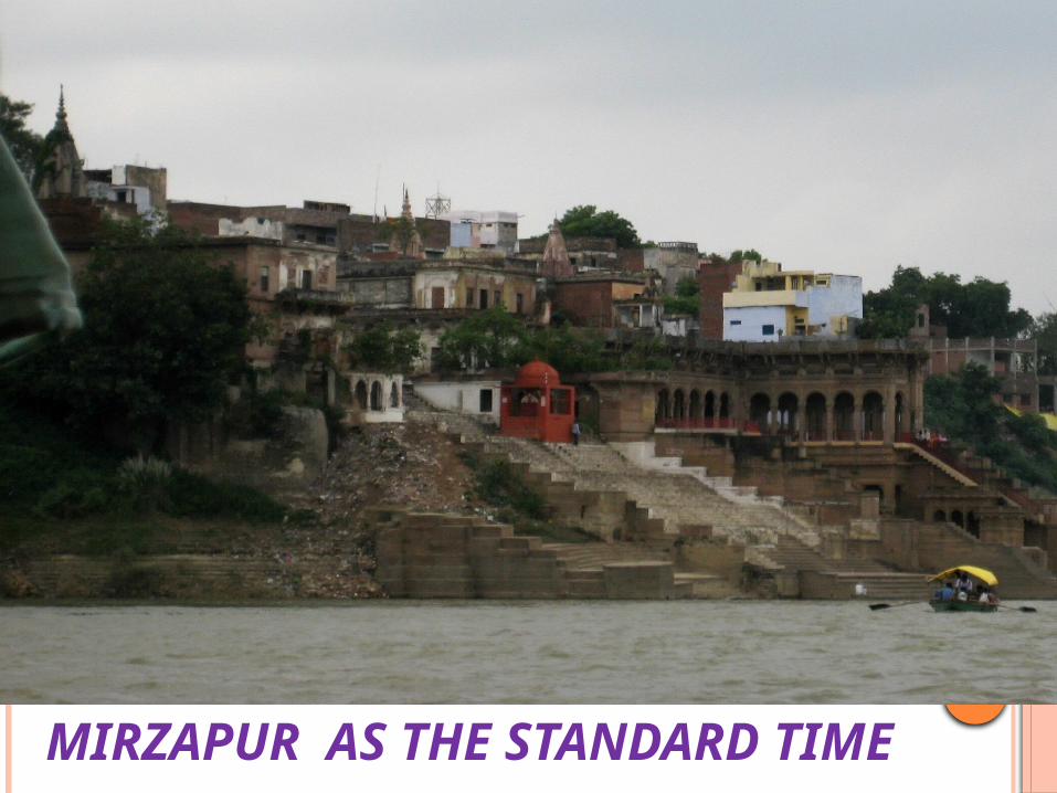
MIRZAPUR AS THE STANDARD TIME

INDIA AND THE WORLD India is located in the centre of the World between
East and the West Asia.
The routes across the Indian ocean which connect the countries of Europe in the West and the countries of East Asia provide a strategic central location to India.
The Deccan Peninsula helps India to establish close contact with West Asia, Africa and Europe from the western coast and with Southeast and East Asia from the eastern coast.
The Ocean which is south of India given name Indian Ocean as no other country has a long coastline on the Indian Ocean as India has.

LARGEST COUNTRIES OF THE WORLD

The land routes of India are much older than sea route. Various passes across mountains in the north have provided passages to the ancient travellers as ocean limited such interaction for a long time.
The land routes helped India in the exchange of ideas and commodities since ancient times.
India have propagated the ideas of the Upanishads and the Ramayana, the stories of Panchtantra, the Indian numerals and the decimal system as well as given spices, muslin and other merchandise to different countries.
Also, the influence of Greek sculpture, and the architectural styles of dome and minarets from West Asia can be seen in different parts of India.

ITS NEIGHBOURS India is comprised of 29 states and 7
union territories and shares its land boundary with
→ Northwest: Pakistan and Afghanistan→ North: China, Nepal, Bhutan→ East: Myanmar and Bangladesh→ South: Sri Lanka and Maldives

INDIA AND ADJACENT COUNTRIES

Sri Lanka is separated from India by a narrow channel of sea formed by the Palk Strait and the Gulf of Mannar
Maldives Islands are situated to the south of the Lakshadweep Islands.
A peninsula is a piece of land that is bordered by water on three sides but connected to mainland on one side.

INDIA ON INTERNATIONAL HIGHWAY OF TRADE AND COMMERCE

DO YOU KNOW FROM CHAPTER
The southernmost point of the Indian Union ‘Indira Point’ got submerged under the sea water in 2004 during the Tsunami.
Since the opening of the Suez Canal in 1869, India’s distance from Europe has been reduced by 7,000 km.
Before 1947, there were two types of states in India – the provinces and the Princely states.→ Provinces were ruled directly by British officials who were appointed by the Viceroy.→ Princely states were ruled by local, hereditary rulers, who acknowledged sovereignity in return for local autonomy

THE SOUTHERNMOST POINT OF INDIA ‘INDIRA POINT

SUMMARY India is known for its rich commercial and cultural heritage and
home to some of the oldest civilizations in the world, like the Indus Valley Civilization.
India spreads across both the Eastern and the Northern Hemispheres. India’s latitudinal stretch is between 8.4 degrees N and 37.6 degrees N, and the longitudinal stretch is between 68.7 degrees E and 97.25 degrees E.
The Tropic of Cancer at 23.30 degrees North latitude cuts across the country, dividing it almost into two equal halves. The country has the Andaman and Nicobar Islands in the south-east and the Lakshadweep Islands in the southwest.
The total area of the Indian land mass is 3.28 million square kilometres i.e. nearly 2.4% of the total land area of the world. India is the seventh largest country in the world.

SUEZ CANAL

India is bordered by the young fold mountains on the north-western, northern and north-eastern side, the Bay of Bengal in the east, the Arabian Sea in the west and the Indian Ocean in the south
The tapered shape of southern India divides Indian Ocean into the Arabian Sea and Bay of Bengal! India’s total coastline, including the Andaman and Nicobar Islands, and the Lakshadweep Islands measures 7,516.6 kilometres.
India’s east-west stretch and north south stretch each measure approximately 3000 kilometres and causes a time lag of 2 hours between the local times at the eastern and the western ends.
India’s standard time is the time along longitude 82.30 degrees East. This longitude passes through Mirzapur in Uttar Pradesh and is referred to as the Standard Meridian of India.
While India’s longitudinal stretch gives rise to a time lag between the east and the west, its latitudinal stretch influences the duration of days and nights.

MESSAGE FROM AUTHOR Hope you all like my power point
presentation. This ppt is done for you by -
ARJUN.PCLASS :9C SCHOOL :KENDRIYA VIDYALAYA SAP
Email ID : [email protected]


